   |
Vital Statistics:
| Length: | 6½mls (10km) |
| Ascent: | 82ft (25m) |
| Time: | 2½hrs |
| Grade: |  |
Route outline for walk ca129:
Fulbourn - Harcamlow Way - Cole's Bridge - New Cut Drain - Hawk Mill Farm - Little Wilbraham - Great Wilbraham - Fleam Dyke - Fulbourn
Points of Interest/Notes on this walk:
Fleam Dyke is an earthwork defence system dating from the 7th Century. It is some 3 miles long .
Free-to-access Interactive Walk Planning Maps:
1:25,000 scale OS Explorer Map (orange/yellow covers):
An Interactive Walk Planning Map for OS Explorer 209 Cambridge is not currently available
1:50,000 scale OS Landranger Map (pink/magenta covers):
An Interactive Walk Planning Map for OS Landranger 154 Cambridge & Newmarket, Saffron Walden is not currently available
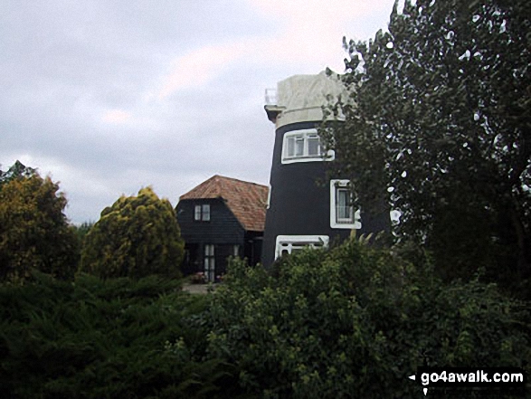
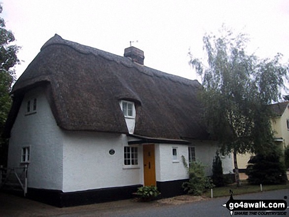
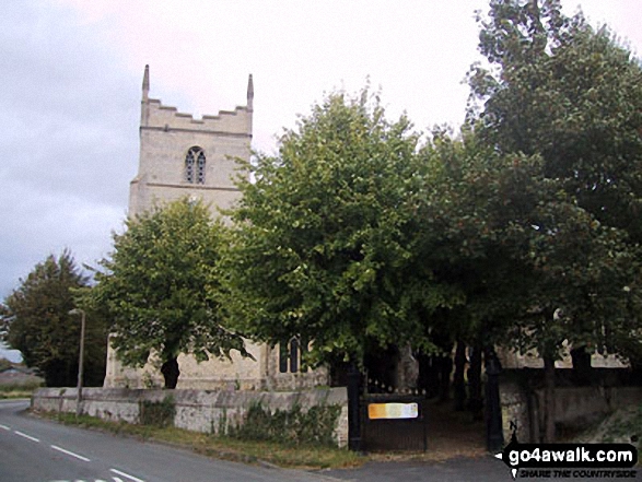
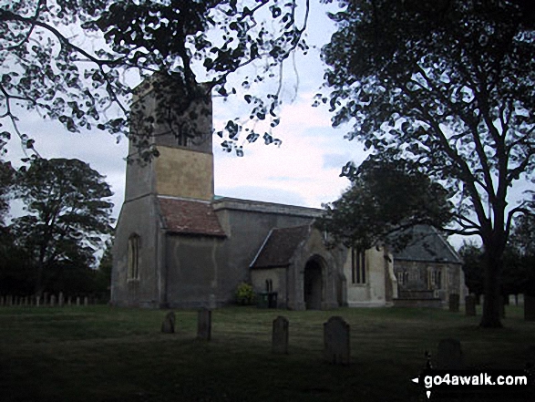
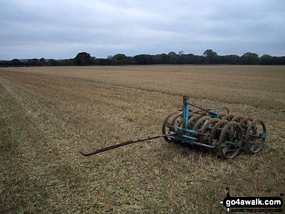
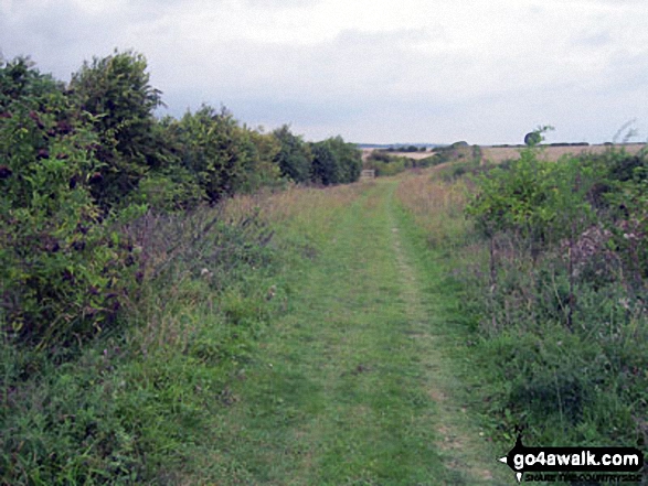
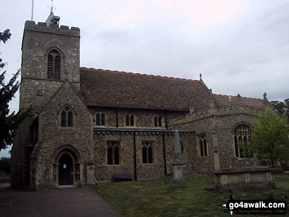
Some Photos and Pictures from Walk ca129 Little Wilbraham from Fulbourn
In no particular order . . .
Send us your photographs and pictures from your walks and hikes
We would love to see your photographs and pictures from walk ca129 Little Wilbraham from Fulbourn. Send them in to us as email attachments (configured for any computer) along with your name and where the picture was taken to:
and we shall do our best to publish them.
(Guide Resolution = 300dpi. At least = 660 pixels (wide) x 440 pixels (high).)

You can also submit photos from walk ca129 Little Wilbraham from Fulbourn via our Facebook Page.
NB. Please indicate where each photo was taken.


