   |
Vital Statistics:
| Length: | 5¾mls (9km) |
| Ascent: | 1,260ft (384m) |
| Time: | 3½hrs |
| Grade: |  |
Route outline for walk c480:
Kentmere - Cornclose Lane (track) - Rasp Howe - Skeggles Water - Cocklaw Fell - Green Quarter Fell - Hollow Moor (Green Quarter) - Hollow Moor (North East Top) - Kentmere
Peaks, Summits and Tops reached on this walk:
 0 English Mountains |
 0 Wainwrights |
 0 English Nuttalls |
 0 English Deweys |
 2 Wainwright Outlying Fells |
 0 Marilyns |
 0 Bridgets |
Peak Bagging Statistics for this walk:
The highest point of this walk is Hollow Moor (Green Quarter) at 426m (1398ft). Hollow Moor (Green Quarter) is also known as an Wainwright Outlying Fell (No. 42) Hollow Moor is the summit of Green Quarter.
Completing this walk will also take you to the top of Hollow Moor (North East Top) at 409m (1342ft). Hollow Moor (North East Top) is also known as an Wainwright Outlying Fell (No. 47)
You can find more walks near this one on these unique free-to-access Interactive Walk Planning Maps: (click/TAP to select)
1:25,000 scale OS Explorer Map (the ones with orange/yellow covers):
1:50,000 scale OS Landranger Map (the ones with pink/magenta covers):
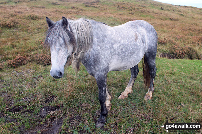
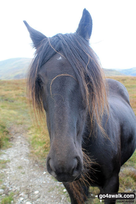
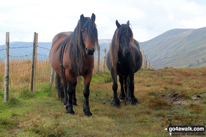
Some Photos and Pictures from Walk c480 Hollow Moor (Green Quarter) from Kentmere
In no particular order . . .
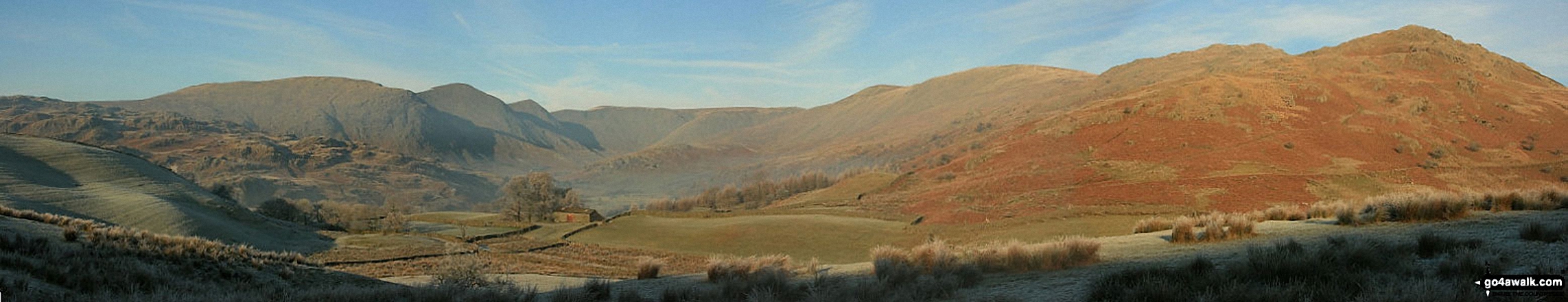
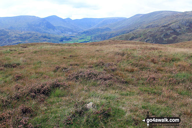
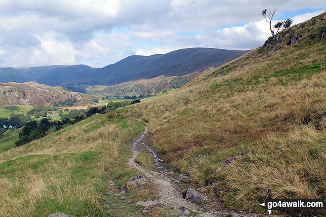
The Kentmere Horseshoe (Yoke, Ill Bell, Froswick, Thornthwaite Crag, Kentmere Pike and Shipman Knotts) from Hollow Moor
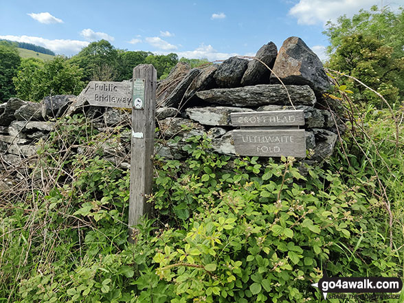
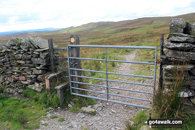
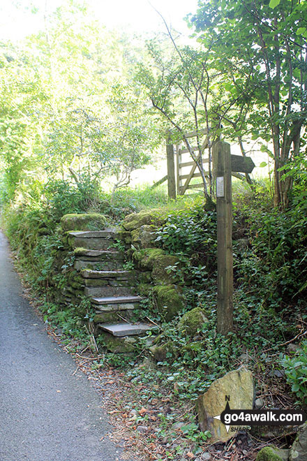
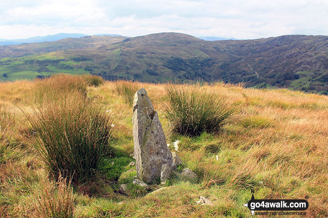
Sign near Ullthwaite Bridge at the start of the route up Sour Howes and Sallows
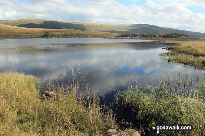
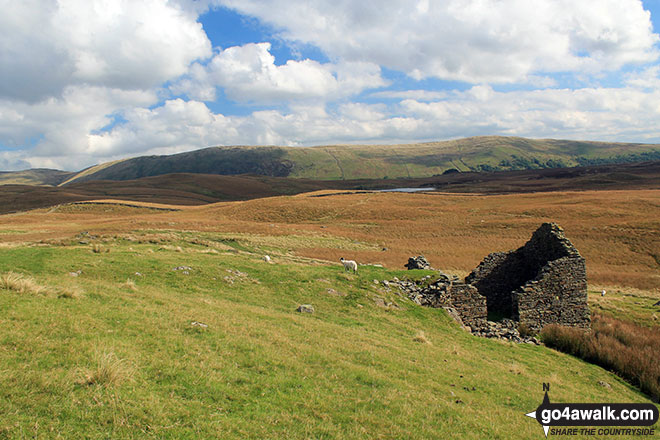
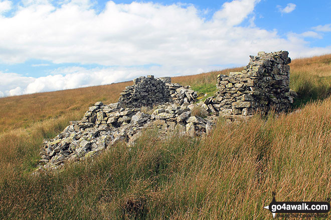
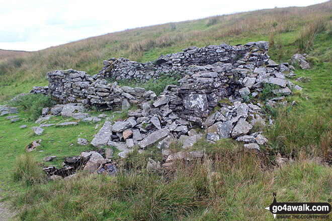
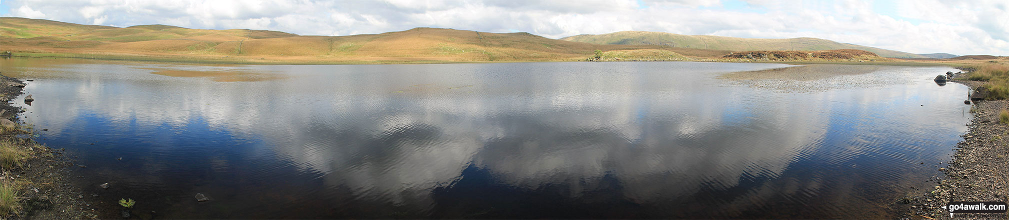
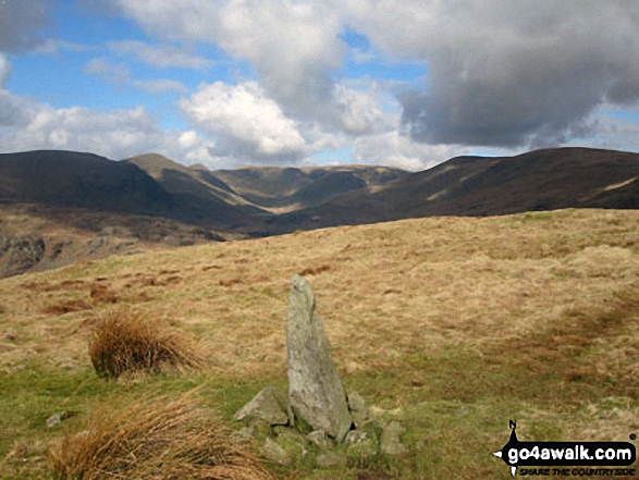
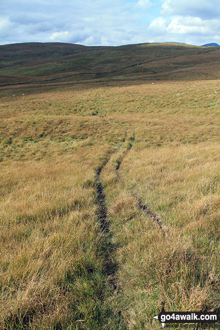
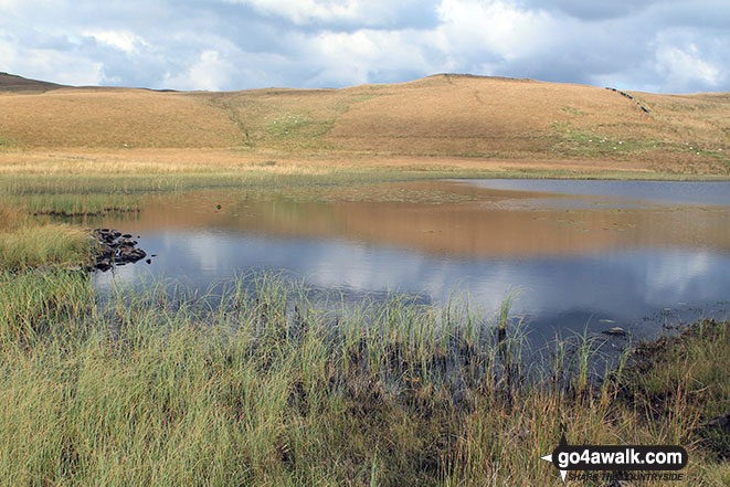
Ruin near Skeggles Water with Ancrow Brow (Swinklebank Crag) and Ancrow Brow (North East Top) beyond
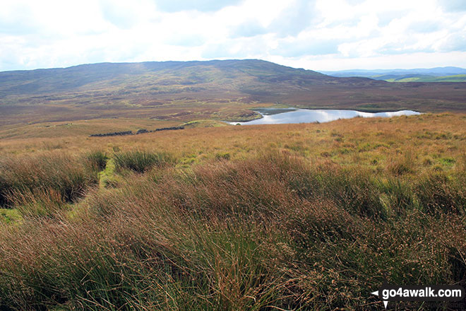
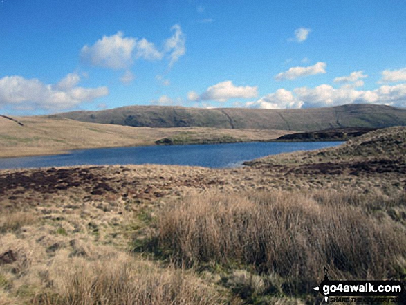
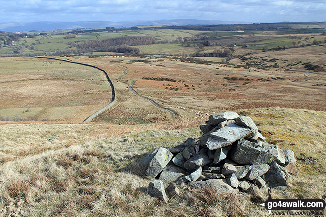
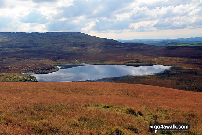
Skeggles Water from the summit of Cocklaw Fell with Brunt Knott (Potter Fell) in the background
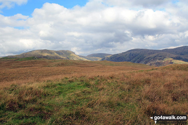
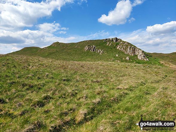
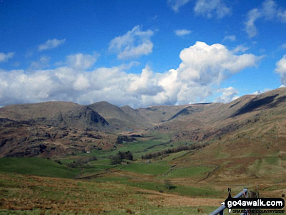
The grassy summit of Cocklaw Fell with the Kentmere Horseshoe in the background
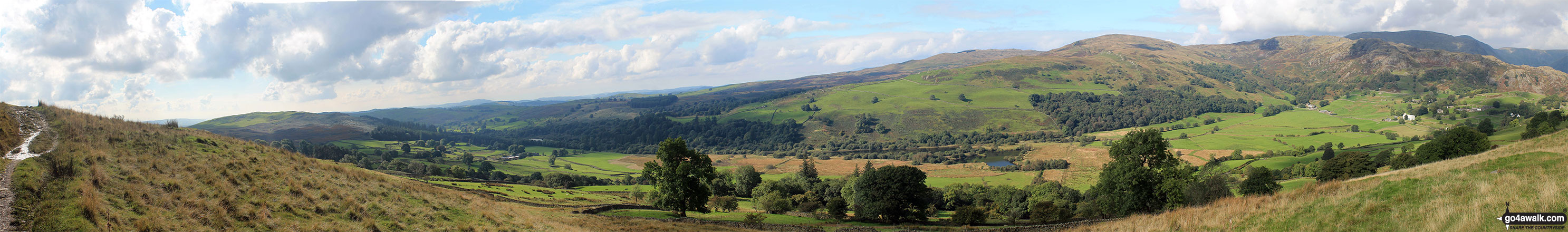
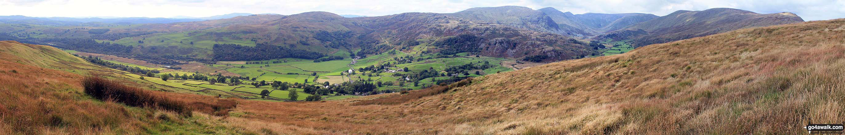
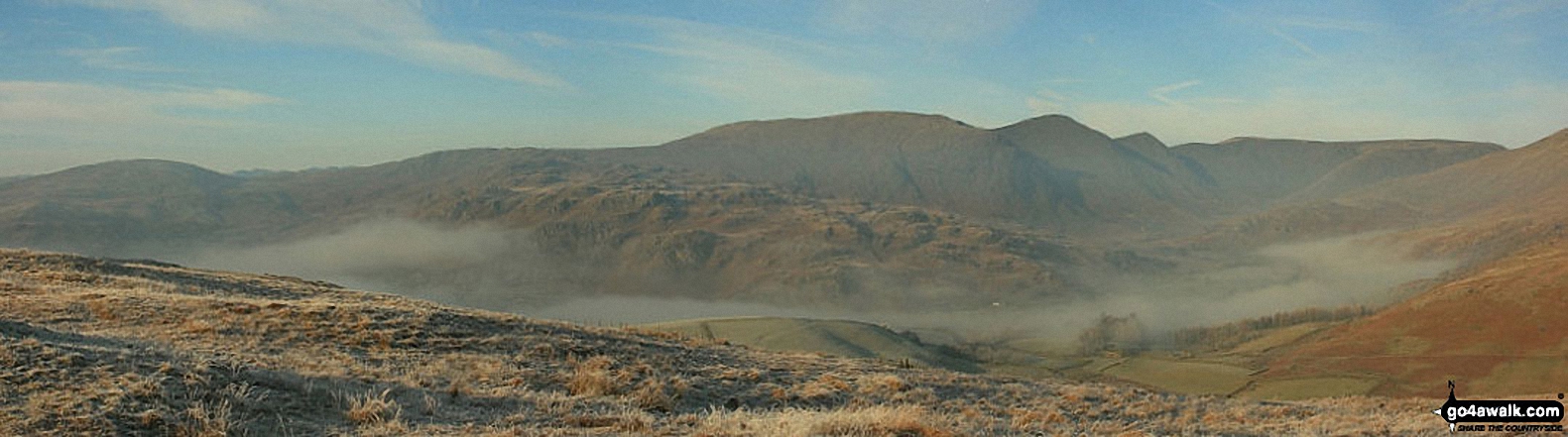
The Westerly aspect from Hollow Moor includes a distant view of Crinkle Crags with Yoke, Ill Bell, Froswick and Thornthwaite Crag above Kentmere
Send us your photographs and pictures from your walks and hikes
We would love to see your photographs and pictures from walk c480 Hollow Moor (Green Quarter) from Kentmere. Send them in to us as email attachments (configured for any computer) along with your name and where the picture was taken to:
and we shall do our best to publish them.
(Guide Resolution = 300dpi. At least = 660 pixels (wide) x 440 pixels (high).)

You can also submit photos from walk c480 Hollow Moor (Green Quarter) from Kentmere via our Facebook Page.
NB. Please indicate where each photo was taken.

To contribute to go4awalk.com or to contact us about anything at all - see Talk To Us. For help see Help.
go4awalk.com and go4awalk.co.uk are registered trademarks of TMDH Limited.
Copyright © 2000-2025 TMDH Limited. All rights reserved.
Copyright Terms & Conditions Privacy Statement
A - Z Walks Home Log On/Accounts Photo Gallery Walk Ideas and Collections Fell Facts Hill Skills Walking Questions and Answers Your Stories News Competitions Product Reviews/Gear Tests Walking Gear Guides Peaks and Mountains Peak Bagging Find New Walking Friends Camping GPS Waypoints for Walking Contents Walk Search Talk To Us go4awalk.com Help Free Example Walks Newsletter


