   |
Vital Statistics:
| Length: | 9mls (14km) |
| Ascent: | 131ft (40m) |
| Time: | 3¼hrs |
| Grade: |  |
Route outline for walk c265:
Keswick - The Cumbria Way - The Allerdale Ramble - Portinscale - Nichol End - Derwent Water - Hawes End - Brandlehow Point - Park Neb - Strutta Wood - Calfclose Bay - Stable Hills - Friar's Crag - Keswick
National Trails & Long Paths included on this walk:
Part of this walk follows a section of The Allerdale Ramble, an 87km (54 miles) linear footpath connecting Seathwaite in Cumbria, with Grune Point in Cumbria, England. The Allerdale Ramble is waymarked by named posts. For more walks that include a section of this trail see The Allerdale Ramble.
Part of this walk also follows a section of The Cumbria Way, a 112km (70 miles) linear footpath connecting Ulverston in Cumbria, England with Carlisle in Cumbria, England. The Cumbria Way is waymarked by named posts. For more walks that include a section of this trail see The Cumbria Way.
You can find more walks near this one on these unique free-to-access Interactive Walk Planning Maps: (click/TAP to select)
1:25,000 scale OS Explorer Map (the ones with orange/yellow covers):
1:50,000 scale OS Landranger Maps (the ones with pink/magenta covers):
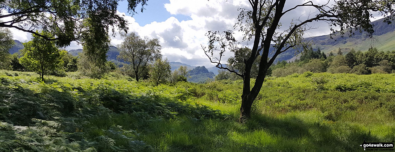
Some Photos and Pictures from Walk c265 A Circuit of Derwent Water from Keswick
In no particular order . . .
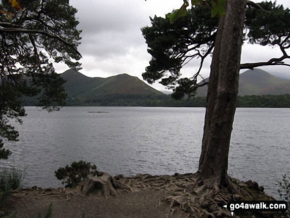
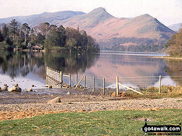
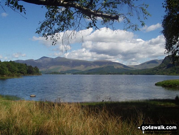
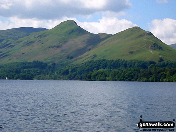
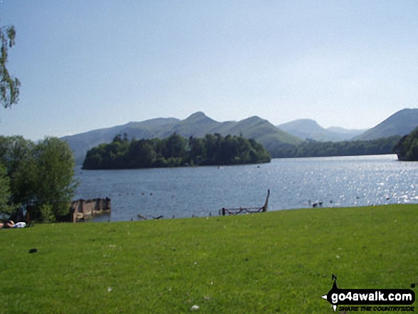
Derwent Water with Maiden Moor, Cat Bells (Catbells) and Causey Pike (right) beyond from Friar's Crag
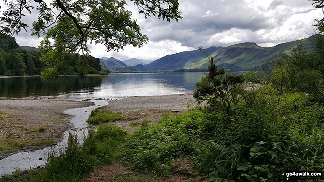
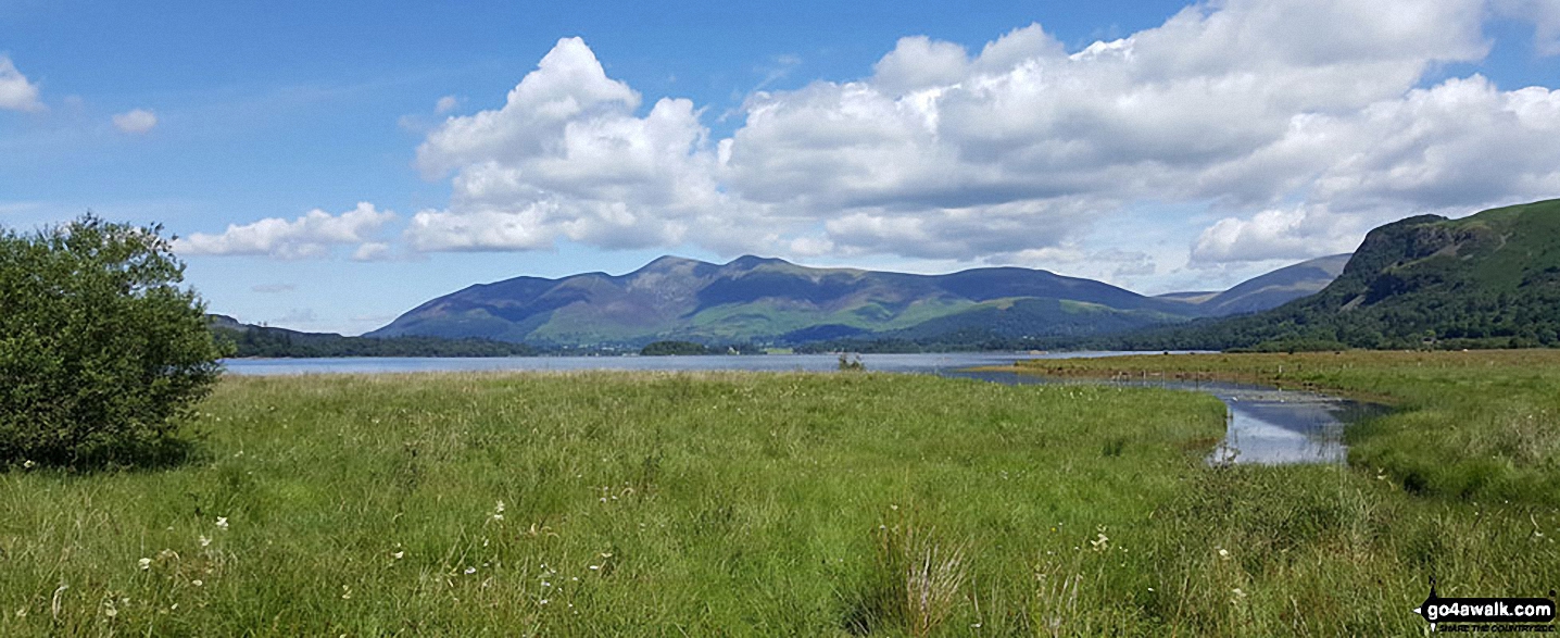
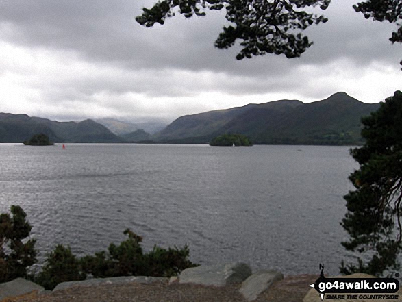
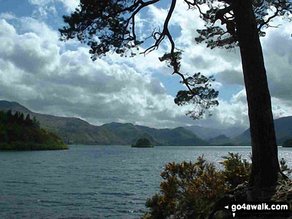
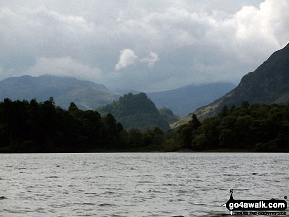
Derwent Water and Borrowdale with Cat Bells, Maiden Moor and Castle Crag on the right from the northern end of the lake
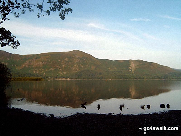
Cat Bells (Catbells) from near Barrow Bay on the Eastern shore of Derwent Water
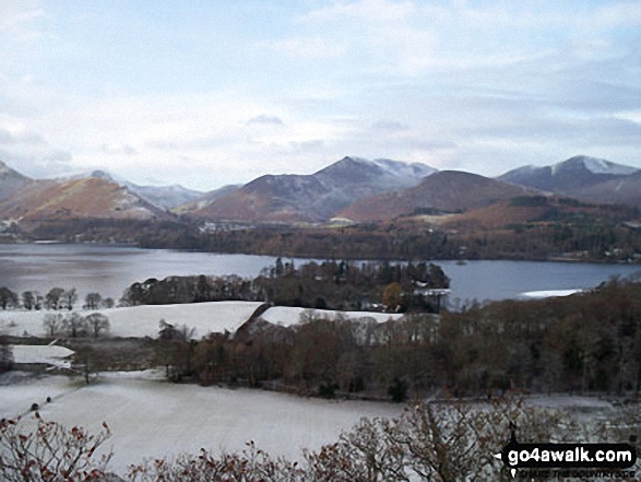
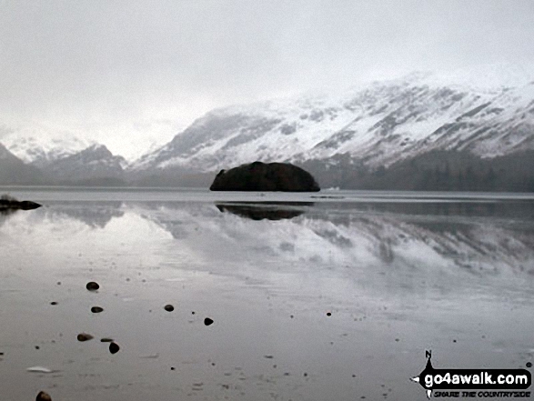
Snow on Derwent Water with Cat Bells (Catbells) (left) and Casuey Pike (centre) and Grisedale Pike (right)
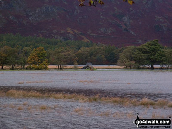
The footbridge at Park Neb at the southern end of Derwent Water - cut off by flood waters
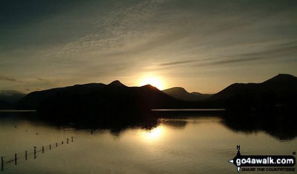
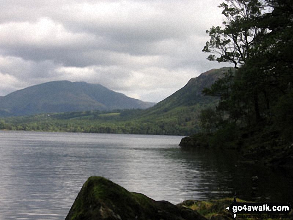
The Skiddaw massif along with Walla Crag (to the right) from the southern end of Derwent Water
Castle Crag in the 'Jaws' of Borrowdale taken from the north end of Derwent Water
Send us your photographs and pictures from your walks and hikes
We would love to see your photographs and pictures from walk c265 A Circuit of Derwent Water from Keswick. Send them in to us as email attachments (configured for any computer) along with your name and where the picture was taken to:
and we shall do our best to publish them.
(Guide Resolution = 300dpi. At least = 660 pixels (wide) x 440 pixels (high).)

You can also submit photos from walk c265 A Circuit of Derwent Water from Keswick via our Facebook Page.
NB. Please indicate where each photo was taken.
To contribute to go4awalk.com or to contact us about anything at all - see Talk To Us. For help see Help.
go4awalk.com and go4awalk.co.uk are registered trademarks of TMDH Limited.
Copyright © 2000-2025 TMDH Limited. All rights reserved.
Copyright Terms & Conditions Privacy Statement
A - Z Walks Home Log On/Accounts Photo Gallery Walk Ideas and Collections Fell Facts Hill Skills Walking Questions and Answers Your Stories News Competitions Product Reviews/Gear Tests Walking Gear Guides Peaks and Mountains Peak Bagging Find New Walking Friends Camping GPS Waypoints for Walking Contents Walk Search Talk To Us go4awalk.com Help Free Example Walks Newsletter


