   |
Vital Statistics:
| Length: | 5mls (8km) |
| Ascent: | 912ft (278m) |
| Time: | 2¾hrs |
| Grade: |  |
Route outline for walk c227:
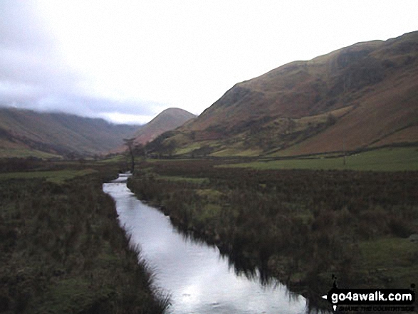
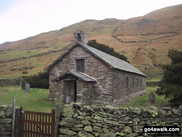
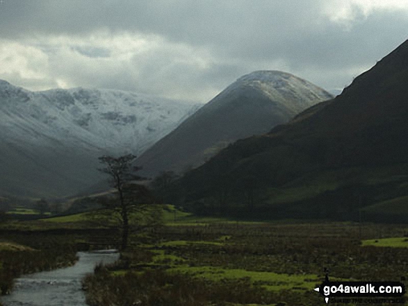
Howtown - The Coombs - St Peter's Church - Lanty Tarn - Martindale - Christy Bridge - Howegrain Beck - Sandwick Beck - Sandwick - Hallinhag Wood - Geordie's Crag - Waternook - Howtown
You can find this walk and other nearby walks on these unique free-to-access Interactive Walk Planning Maps:
1:25,000 scale OS Explorer Map (orange/yellow covers):
1:50,000 scale OS Landranger Map (pink/magenta covers):
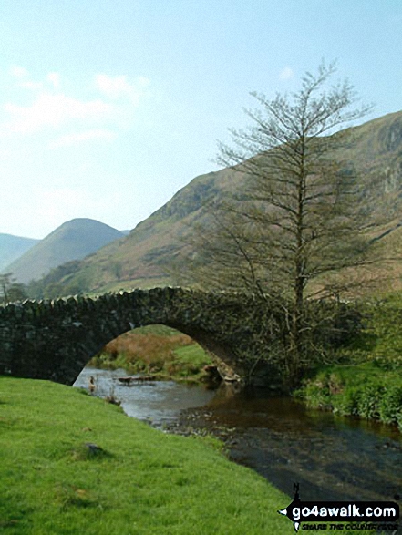
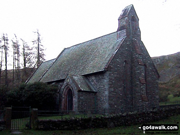
Some Photos and Pictures from Walk c227 Martindale from Howtown
In no particular order . . .
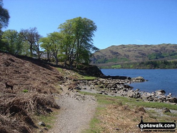
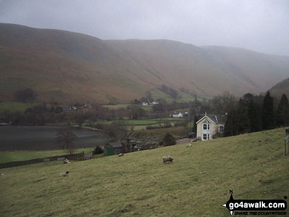
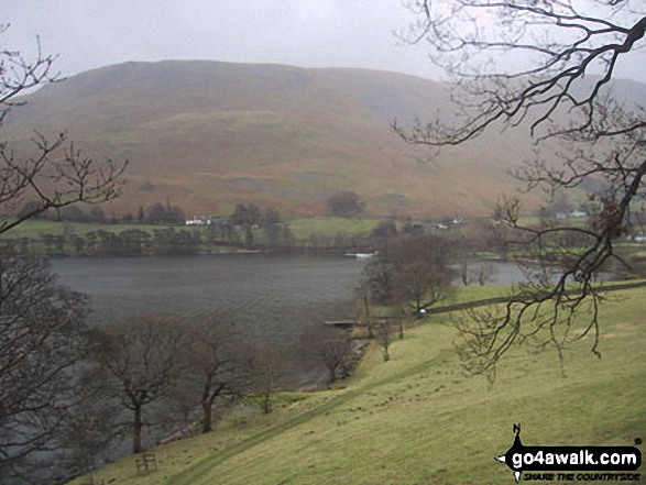
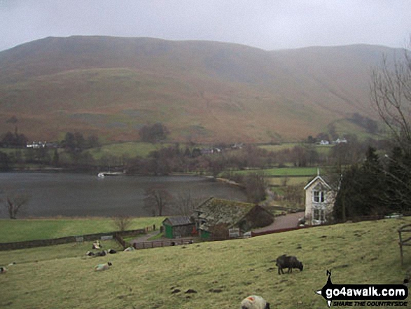
Waternook, Howtown and Ullswater with Bonscale Pike beyond from near Geordie's Crag
Send us your photographs and pictures from your walks and hikes
We would love to see your photographs and pictures from walk c227 Martindale from Howtown. Send them in to us as email attachments (configured for any computer) along with your name and where the picture was taken to:
and we shall do our best to publish them.
(Guide Resolution = 300dpi. At least = 660 pixels (wide) x 440 pixels (high).)

You can also submit photos from walk c227 Martindale from Howtown via our Facebook Page.
NB. Please indicate where each photo was taken.


