   |
Vital Statistics:
| Length: | 7mls (11km) |
| Ascent: | 1,299ft (396m) |
| Time: | 3¾hrs |
| Grade: |  |
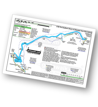
Route outline for walk c198:
Glenridding - Glenridding Pier - Ullswater Steamer - Howtown Pier - Geordie's Crag - Halinhag Wood - Sandwick - Long Crag (Ullswater) - Silver Point - Ullswater - Blowick - Rooking - Side Farm - Patterdale
You can find this walk and other nearby walks on these unique free-to-access Interactive Walk Planning Maps:
1:25,000 scale OS Explorer Map (orange/yellow covers):
1:50,000 scale OS Landranger Map (pink/magenta covers):
Some Photos and Pictures from Walk c198 The Southern Shore of Ullswater from Glenridding
In no particular order . . .
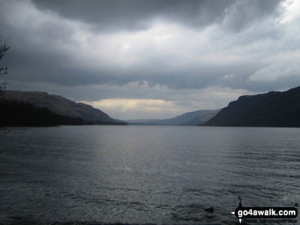
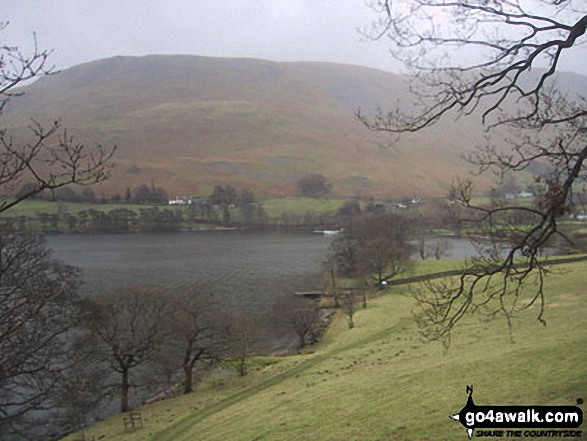
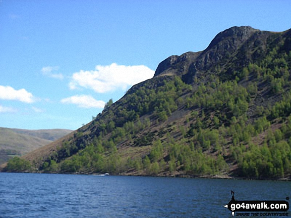
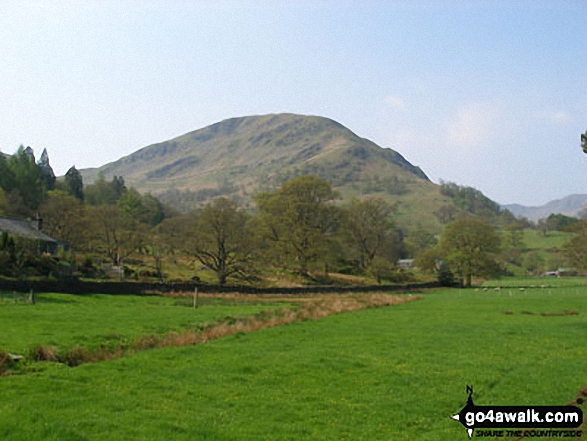
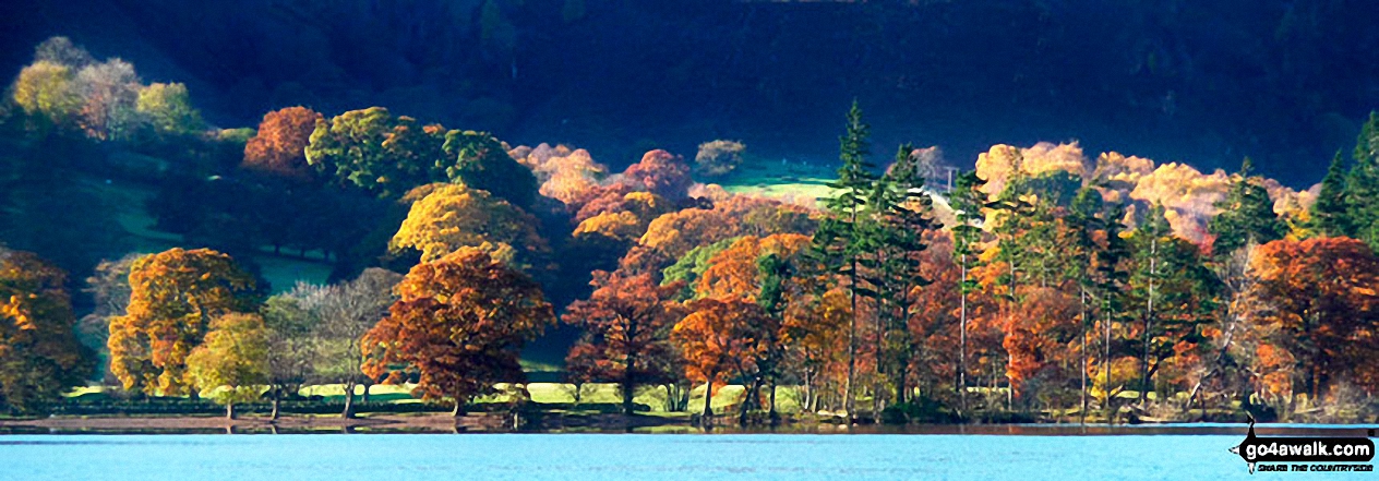
High Dodd (Sleet Fell) and Place Fell across Ullswater from Mossdale Bay near Glenridding
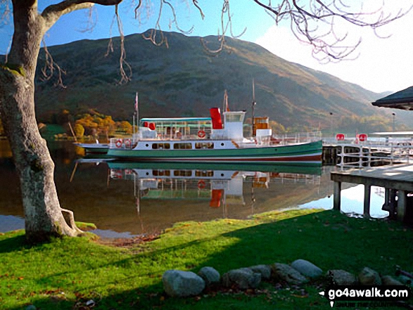
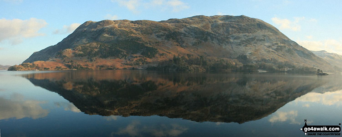
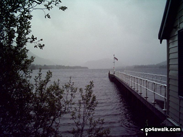
The Ullswater Water Steamer docked at Glenridding
with Place Fell in the background
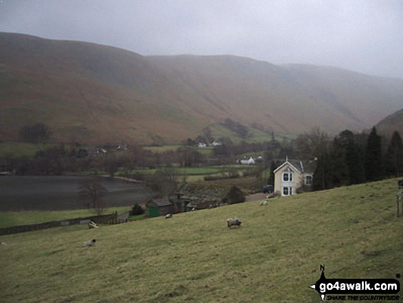
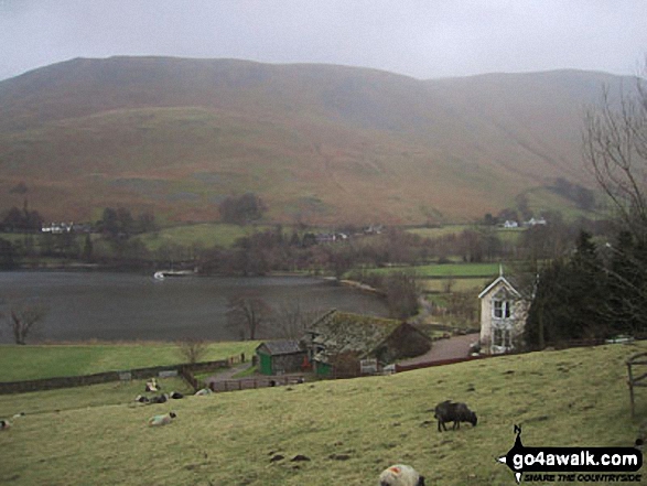
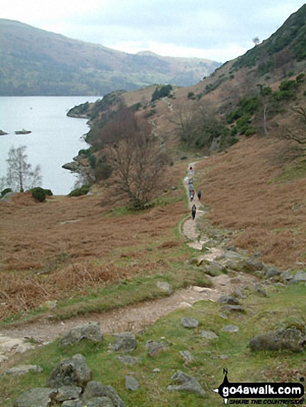
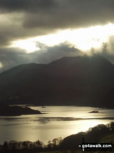
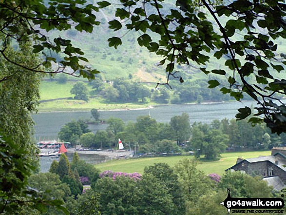
Waternook, Howtown and Ullswater with Bonscale Pike beyond from near Geordie's Crag
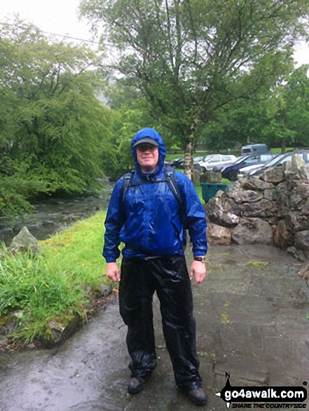
A very grumpy Shaun post walk in Glenridding after scaling Helvellyn via Striding Edge (High Spying How) on a very, very wet day!
. . . load all 28 walk photos from Walk c198 The Southern Shore of Ullswater from Glenridding
Send us your photographs and pictures from your walks and hikes
We would love to see your photographs and pictures from walk c198 The Southern Shore of Ullswater from Glenridding. Send them in to us as email attachments (configured for any computer) along with your name and where the picture was taken to:
and we shall do our best to publish them.
(Guide Resolution = 300dpi. At least = 660 pixels (wide) x 440 pixels (high).)

You can also submit photos from walk c198 The Southern Shore of Ullswater from Glenridding via our Facebook Page.
NB. Please indicate where each photo was taken.


