   |
Vital Statistics:
| Length: | 8½mls (13.5km) |
| Ascent: | 1,447ft (441m) |
| Time: | 4½hrs |
| Grade: |  |
Route outline for walk c147:
Elterwater - Elterwater Bridge - Little Langdale - Little Langdale Tarn - Bridge End - Fell Foot Bridge - Castle Howe - Blea Tarn (Langdale) - Great Langdale - Oak Howe - Chapel Stile - Elterwater
You can find this walk and other nearby walks on these unique free-to-access Interactive Walk Planning Maps:
1:25,000 scale OS Explorer Maps (orange/yellow covers):
1:50,000 scale OS Landranger Map (pink/magenta covers):
Some Photos and Pictures from Walk c147 Little Langdale and Great Langdale from Elterwater
In no particular order . . .
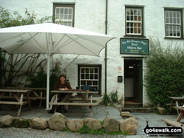
Crinkle Crags (Crinkle, Crags (South Top), Crinkle Crags (Long Top), Crinkle Crags (Gunson Knott), Shelter Crags & Shelter Crags (North Top)) and the Eastern shoulder of The Band from The Old Dungeon Ghyll, Great Langdale
*Crinkle Crags featuring Crinkle Crags (Long Top), Gunson Knott & Crinkle Crags (South Top) (left), Bow Fell (Bowfell) (centre) and The Langdale Pikes (right) from Great Langdale
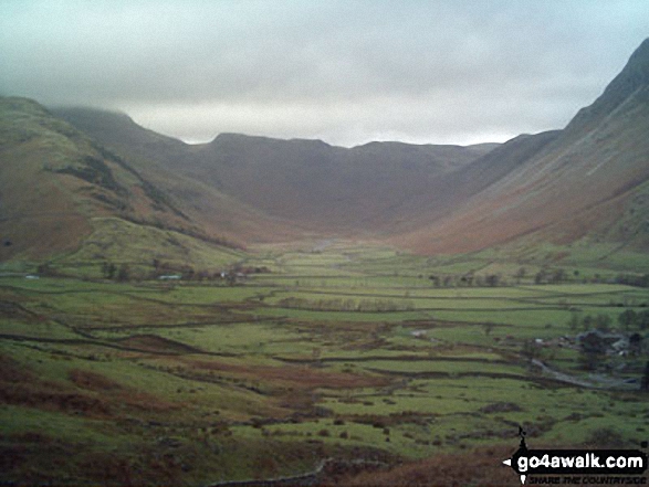
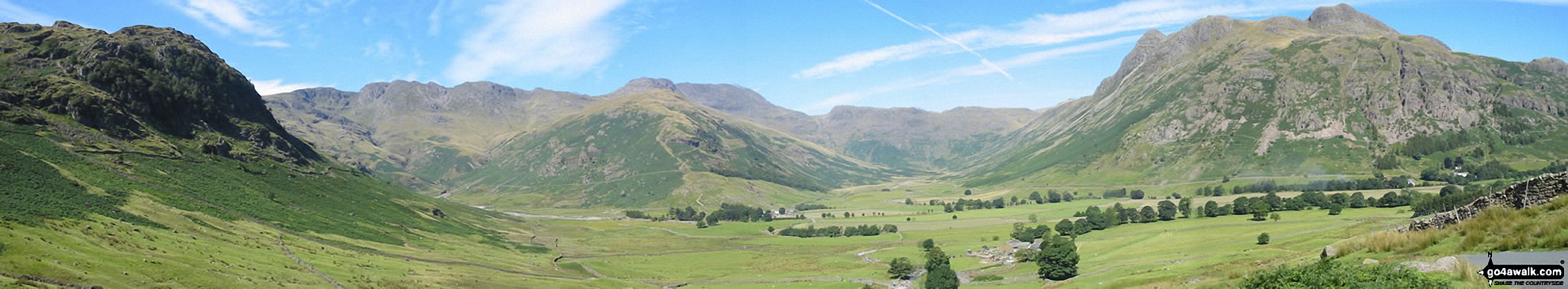
The Band (left), Bow Fell (Bowfell), Esk Pike (centre) and Pike of Stickle (far right) surround Mickleden from Great Langdale
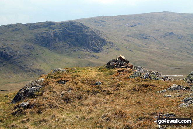
Bell Crags (Watendlath) with Standing Crag (left) & Ullscarf (right) in the background
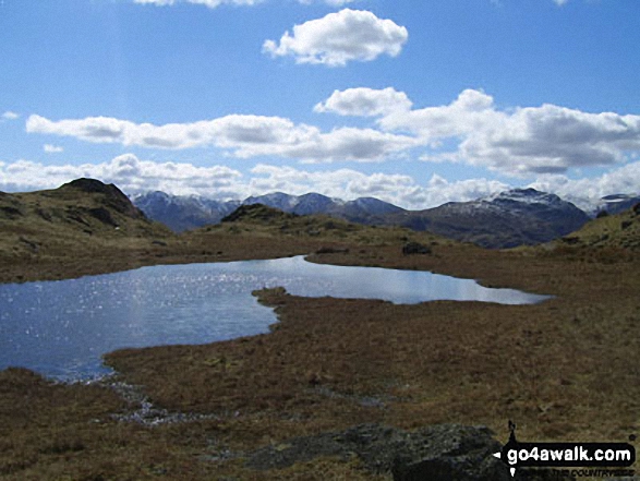
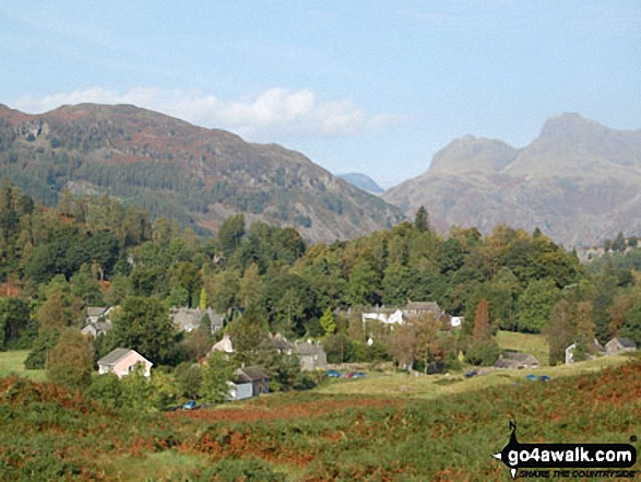
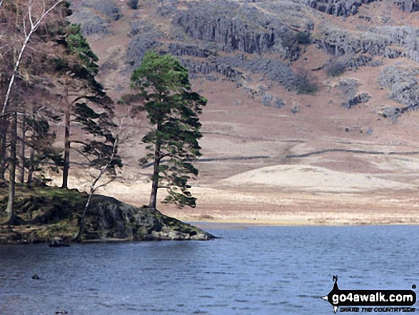
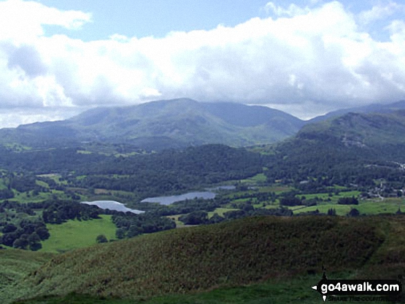
Looking across an unnamed tarn below Great Castle How to Wetherlam and the Furness Fells
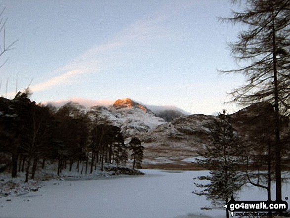
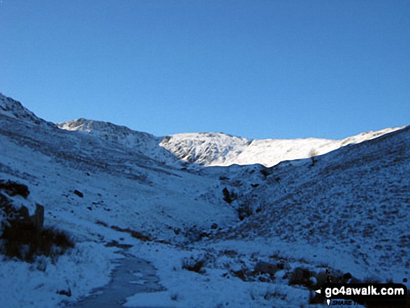
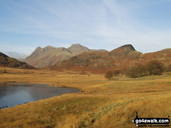
The last rays on sunshine on The Langdale Pikes across a frozen Blea Tarn (Langdale)
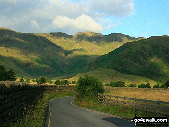
The Band (centre) with Crinkle Crags (left) and Bow Fell (Bowfell) (right) beyond from Great Langdale
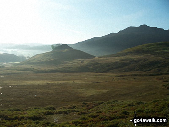
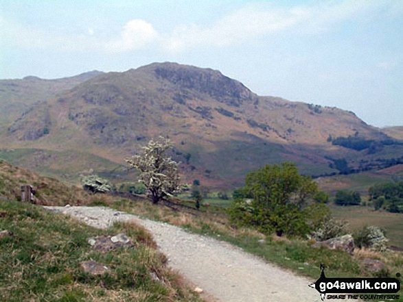
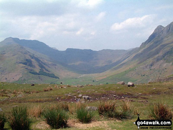
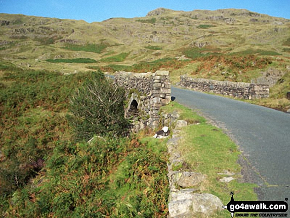
Castle Howe with Pike of Blisco (Pike o' Blisco) beyond from near Slater Bridge Bridge, Little Langdale
. . . load all 66 walk photos from Walk c147 Little Langdale and Great Langdale from Elterwater
Send us your photographs and pictures from your walks and hikes
We would love to see your photographs and pictures from walk c147 Little Langdale and Great Langdale from Elterwater. Send them in to us as email attachments (configured for any computer) along with your name and where the picture was taken to:
and we shall do our best to publish them.
(Guide Resolution = 300dpi. At least = 660 pixels (wide) x 440 pixels (high).)

You can also submit photos from walk c147 Little Langdale and Great Langdale from Elterwater via our Facebook Page.
NB. Please indicate where each photo was taken.


