   |
Vital Statistics:
| Length: | 6½mls (10km) |
| Ascent: | 722ft (220m) |
| Time: | 3hrs |
| Grade: |  |
Route outline for walk bu141:
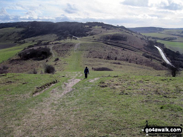
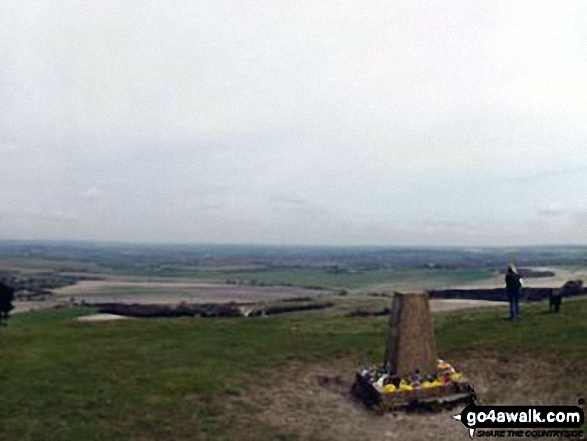
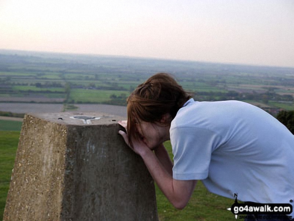
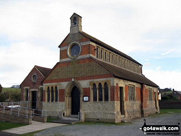
Dagnall - Chlitern Farm - Former Radio Station - Gallows Hill - Ivinghoe Beacon - The Ridgeway - Ivinghoe Hills - Steps Hill - Down Farm - Clipperdown Cottage - Clipper Down - Ward's Hurst Farm - Hog Hall - Hog Hall Lane - Dagnall
National Trails & Long Paths included on this walk:
Part of this walk follows a section of The Ridgeway, a 137km (85 miles) linear footpath connecting Overton in Wiltshire, England with Ivinghoe Beacon in Buckinghamshire, England. The Ridgeway is waymarked by a National Trail Acorn. For more walks that include a section of this trail see The Ridgeway.
You can find this walk and other nearby walks on these unique free-to-access Interactive Walk Planning Maps:
1:25,000 scale OS Explorer Map (orange/yellow covers):
1:50,000 scale OS Landranger Map (pink/magenta covers):
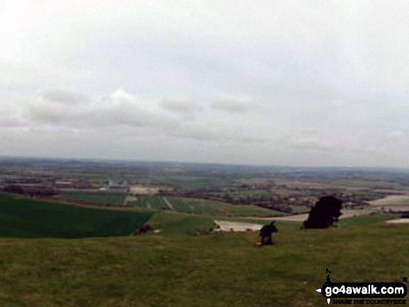
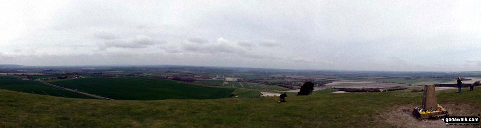
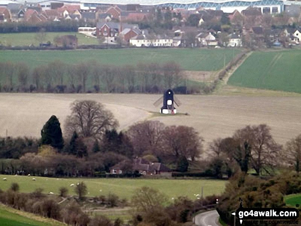
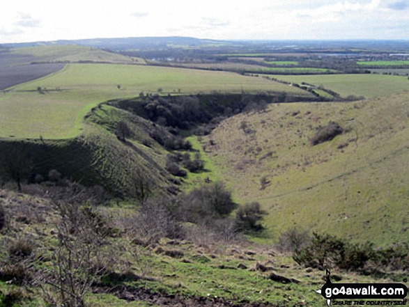
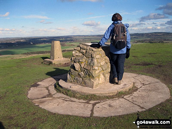
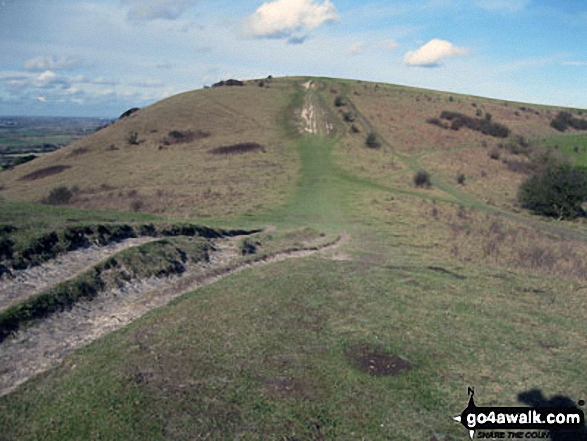
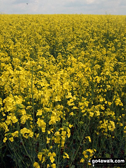
Some Photos and Pictures from Walk bu141 Beacon Hill from Dagnall
In no particular order . . .
Send us your photographs and pictures from your walks and hikes
We would love to see your photographs and pictures from walk bu141 Beacon Hill from Dagnall. Send them in to us as email attachments (configured for any computer) along with your name and where the picture was taken to:
and we shall do our best to publish them.
(Guide Resolution = 300dpi. At least = 660 pixels (wide) x 440 pixels (high).)

You can also submit photos from walk bu141 Beacon Hill from Dagnall via our Facebook Page.
NB. Please indicate where each photo was taken.


