 |
Vital Statistics:
| Length: | 6¾mls (11km) |
| Ascent: | 722ft (220m) |
| Time: | 3¼hrs |
| Grade: |  |
Route outline for walk at114:
Glenariff Forest Park - Visitors Centre - Glenariff River - River Inver - Visitors Centre Glenariff Forest Park.
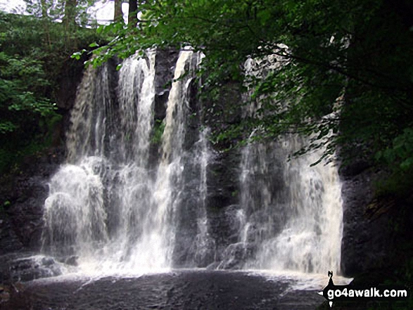
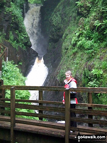
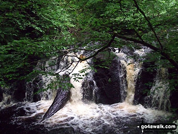
Some Photos and Pictures from Walk at114 Glenariff Forest Park
In no particular order . . .
Send us your photographs and pictures from your walks and hikes
We would love to see your photographs and pictures from walk at114 Glenariff Forest Park. Send them in to us as email attachments (configured for any computer) along with your name and where the picture was taken to:
and we shall do our best to publish them.
(Guide Resolution = 300dpi. At least = 660 pixels (wide) x 440 pixels (high).)

You can also submit photos from walk at114 Glenariff Forest Park via our Facebook Page.
NB. Please indicate where each photo was taken.


