   |
Vital Statistics:
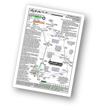
| Length: | 8½mls (13.5km) |
| Ascent: | 1,093ft (333m) |
| Time: | 4¼hrs |
| Grade: |  |
Route outline for walk n135:
Wooler - The St Cuthbert's Way - Weetwood Bank - Weetwood Moor - River Till - Weetwood Bridge - Weetwood Hall - Weetwood Hill - Broomy Knowe - Shepherds House - Dod Law - Doddington Moor - Doddington - Milfield Plain - Doddington Bridge - Turvelaws Farm - Wooler
National Trails & Long Paths included on this walk:
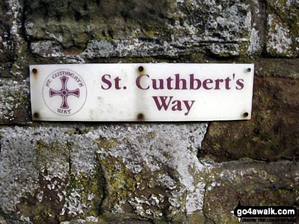
Part of this walk follows a section of The St Cuthbert's Way, a 100km (62 miles) linear footpath connecting Melrose Abbey in The Borders, Scotland with Holy Island (Lindisfarne) in Northumberland, England. The St Cuthbert's Way is waymarked by a Celtic Cross. For more walks that include a section of this trail see The St Cuthbert's Way.
You can find this walk and other nearby walks on these unique free-to-access Interactive Walk Planning Maps:
1:25,000 scale OS Explorer Maps (orange/yellow covers):
An Interactive Walk Planning Map for OS Explorer 339 Kelso, Coldstream & Lower Tweed Valley is not currently available
1:50,000 scale OS Landranger Map (pink/magenta covers):
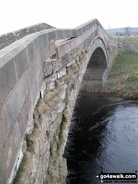
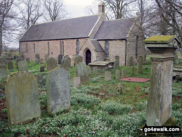
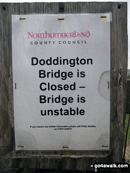
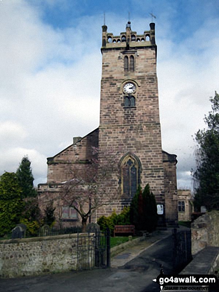
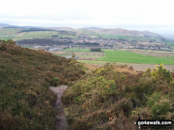
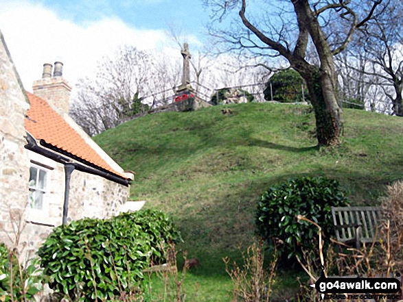
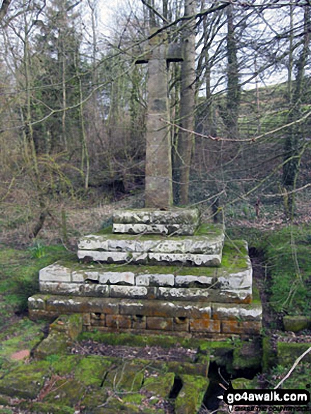
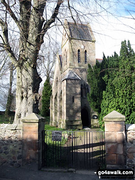
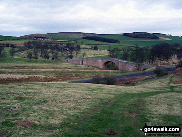
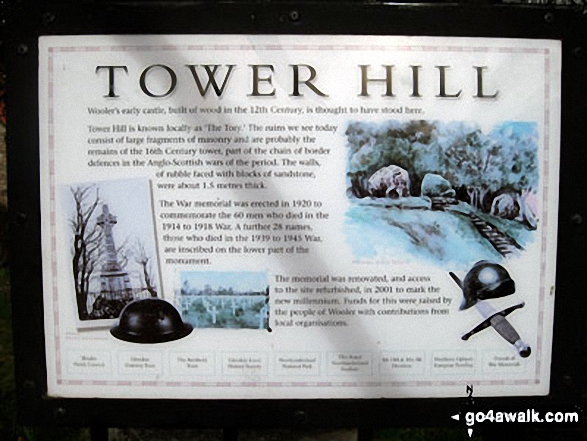
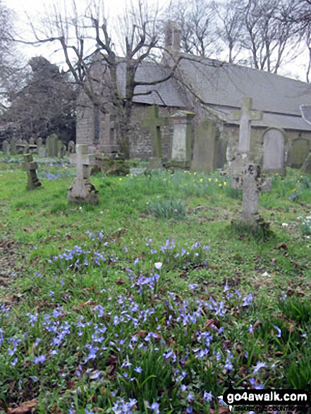
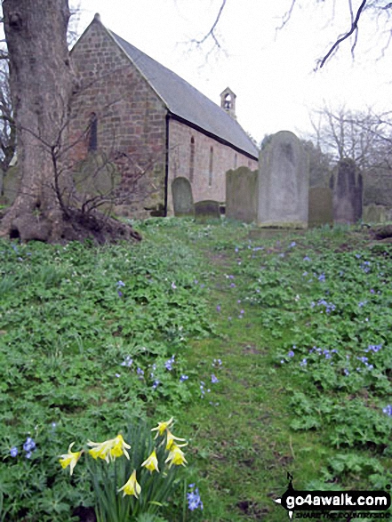
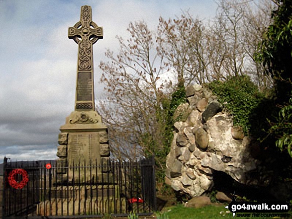
Some Photos and Pictures from Walk n135 Weetwood Moor, Dod Law and Doddington from Wooler
In no particular order . . .
Send us your photographs and pictures from your walks and hikes
We would love to see your photographs and pictures from walk n135 Weetwood Moor, Dod Law and Doddington from Wooler. Send them in to us as email attachments (configured for any computer) along with your name and where the picture was taken to:
and we shall do our best to publish them.
(Guide Resolution = 300dpi. At least = 660 pixels (wide) x 440 pixels (high).)

You can also submit photos from walk n135 Weetwood Moor, Dod Law and Doddington from Wooler via our Facebook Page.
NB. Please indicate where each photo was taken.


