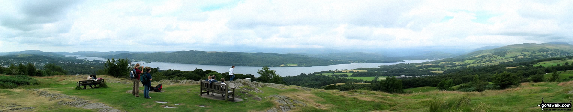
Windermere from Orrest Head
The Far Eastern Marches,
The Lake District National Park,
Cumbria, England
See views like this by using either of these easy-to-follow circular walk route maps:
   |
Vital Statistics:
| Length: | 7.25 miles (11.5 km) |
| Ascent: | 1,247ft (380m) |
| Time: | 3.75hrs |
| Grade: |  |
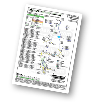
Route Summary:
Windermere - Orrest Head - Moorhowe - Dubbs Road - Garburn Road - Longmire Road - Far Orrest Farm - Orrest Head - Windermere
|
Vital Statistics:
| Length: | 7.5 miles (12 km) |
| Ascent: | 787ft (240m) |
| Time: | 3½ hrs |
| Grade: | |
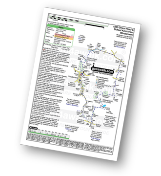
Route Summary:
Windermere - Ellery Woods - Orrest Head - Near Orrest Farm - Mislet Farm - Heaning Farm - Blackmoss Farm - School Knott Plantation - School Knott - The Dales Way - High Cleabarrow Farm - Matson Ground - Heaththwaite Manor - Windermere
Send us your photographs and pictures of walks and hikes in the British countryside
If you would like to see your digital photographs as part of this collection, please send them as email attachments (configured for any computer) along with your name to:
and we shall do our best to publish them.
(Guide Resolution = 300dpi. At least = 587 pixels (wide) x 440 pixels (high).)

You can also submit photos via our Facebook Page.
NB. Please indicate where each photo was taken.
NB. To see photographs and pictures from a particular walk choose your walk from Walks or use our Walk Search facility.
To see photographs and pictures on, of or from a particular Mountain, Peak, Top or Hill select from Peaks & Mountains' or enter the Mountain, Peak, Top or Hill Name into our 'Photo Search facility.