   |
Vital Statistics:
| Length: | 6¾mls (11km) |
| Ascent: | 722ft (220m) |
| Time: | 3hrs |
| Grade: |  |
Route outline for walk s246:
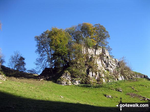
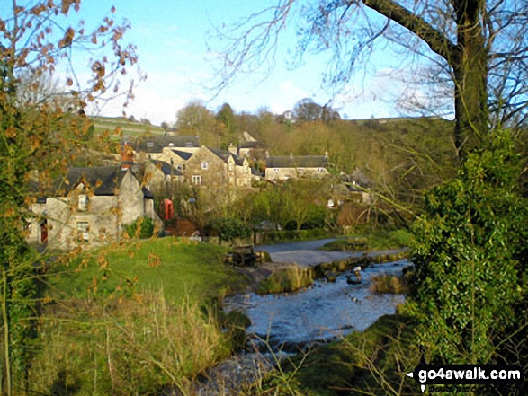
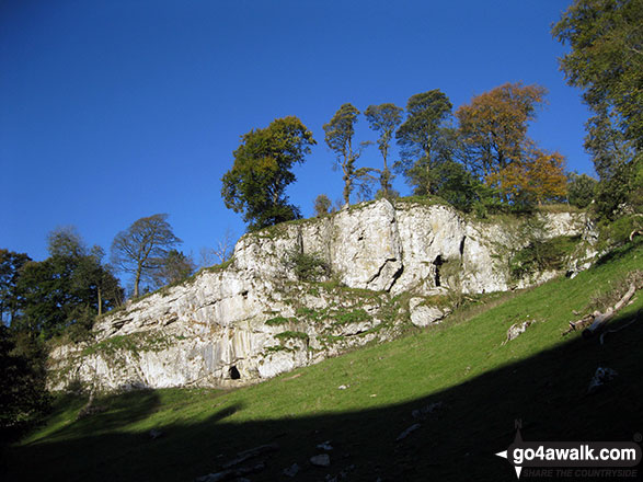
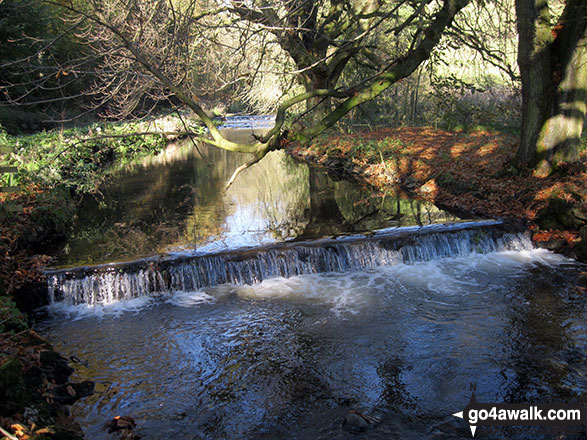
Alstonefield - Milldale - Mill Dale - Lode Mill Bridge - River Dove - Coldeaton Bridge - Iron Tors - Gipsy Bank - Drabber Tor - Caves - Peasland Tor - Wolfscote Dale - Frank-i-th-Rocks Bridge - Beresford Dale - Narrow Dale - The Rakes - Alstonefield
Points of Interest/Notes on this walk:
The odd shaped lumps of rock strewn across so many of the South West's tors are collectively known as 'clitter'.
You can find more walks near this one on these unique free-to-access Interactive Walk Planning Maps: (click/TAP to select)
1:25,000 scale OS Explorer Map (the ones with orange/yellow covers):
1:50,000 scale OS Landranger Map (the ones with pink/magenta covers):
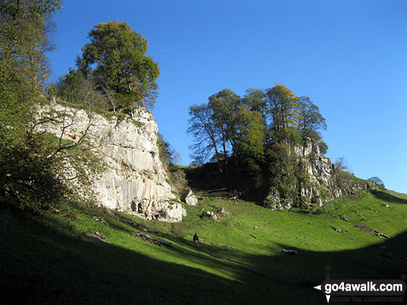
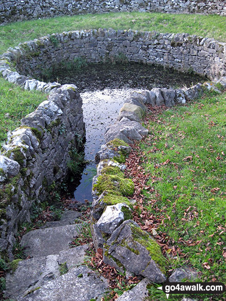
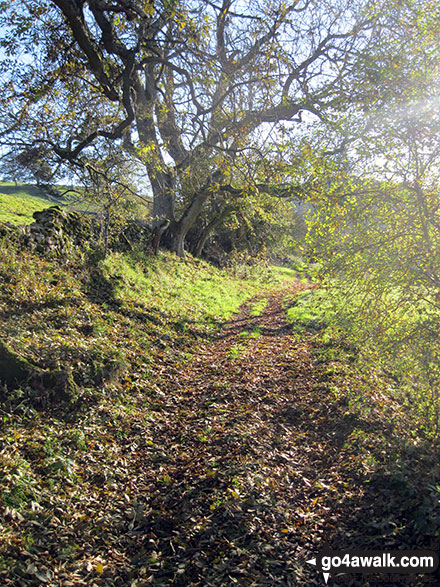
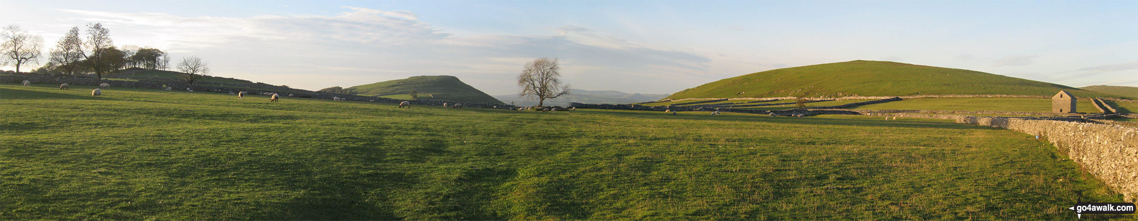
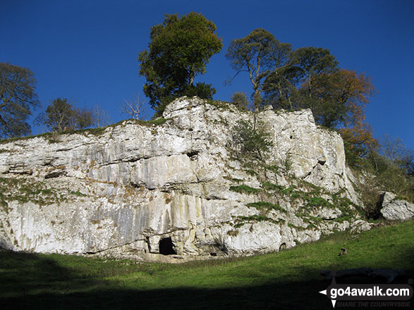
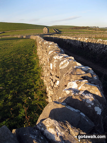
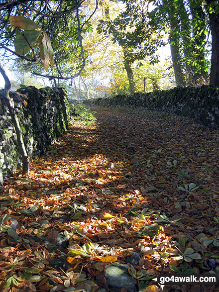
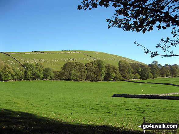
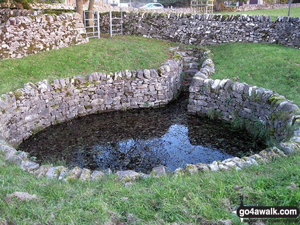
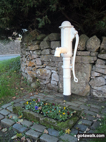
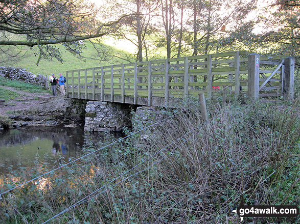
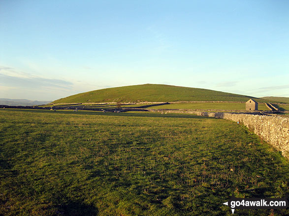
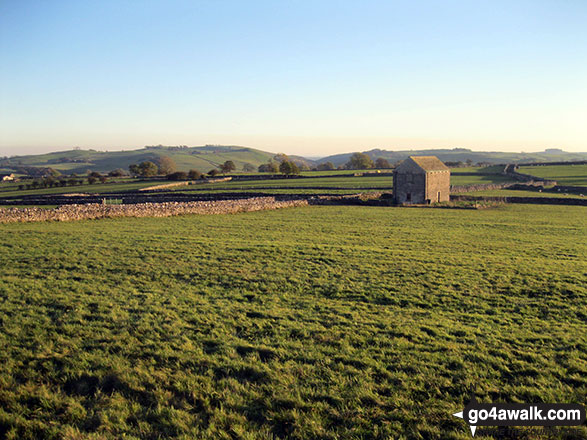
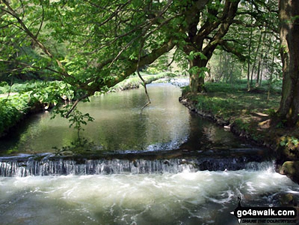
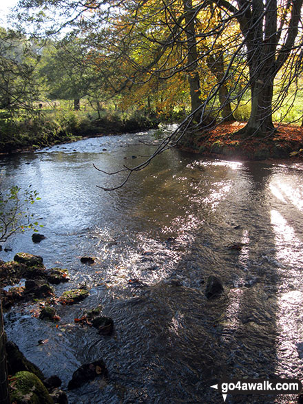
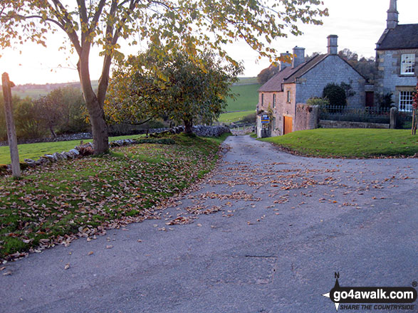
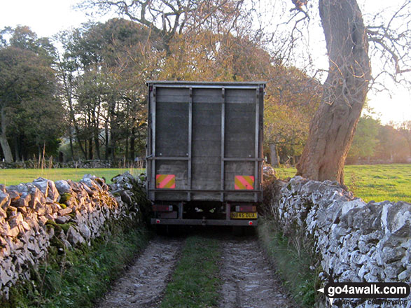
Some Photos and Pictures from Walk s246 Milldale, The River Dove and Wolfscote Dale from Alstonefield
In no particular order . . .
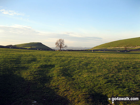
Narrowdale Hill (left) and the shoulder of Gratton Hill (right) from near Alstonefield

Send us your photographs and pictures from your walks and hikes
We would love to see your photographs and pictures from walk s246 Milldale, The River Dove and Wolfscote Dale from Alstonefield. Send them in to us as email attachments (configured for any computer) along with your name and where the picture was taken to:
and we shall do our best to publish them.
(Guide Resolution = 300dpi. At least = 660 pixels (wide) x 440 pixels (high).)

You can also submit photos from walk s246 Milldale, The River Dove and Wolfscote Dale from Alstonefield via our Facebook Page.
NB. Please indicate where each photo was taken.

To contribute to go4awalk.com or to contact us about anything at all - see Talk To Us. For help see Help.
go4awalk.com and go4awalk.co.uk are registered trademarks of TMDH Limited.
Copyright © 2000-2025 TMDH Limited. All rights reserved.
Copyright Terms & Conditions Privacy Statement
A - Z Walks Home Log On/Accounts Photo Gallery Walk Ideas and Collections Fell Facts Hill Skills Walking Questions and Answers Your Stories News Competitions Product Reviews/Gear Tests Walking Gear Guides Peaks and Mountains Peak Bagging Find New Walking Friends Camping GPS Waypoints for Walking Contents Walk Search Talk To Us go4awalk.com Help Free Example Walks Newsletter


