|
Vital Statistics:
| Length: | 7mls (11km) |
| Ascent: | 1,076ft (328m) |
| Time: | 3½hrs |
| Grade: |  |
Route outline for walk s100:
Leek - Mount Road - Holly House - Beely Barn - Morridge - Moor Top - Morridge Side - Egg Well - Roost Hill - Ashenhurst Mill - Lowe Hill - Leek
You can find this walk and other nearby walks on these unique free-to-access Interactive Walk Planning Maps:
1:25,000 scale OS Explorer Map (orange/yellow covers):
1:50,000 scale OS Landranger Maps (pink/magenta covers):
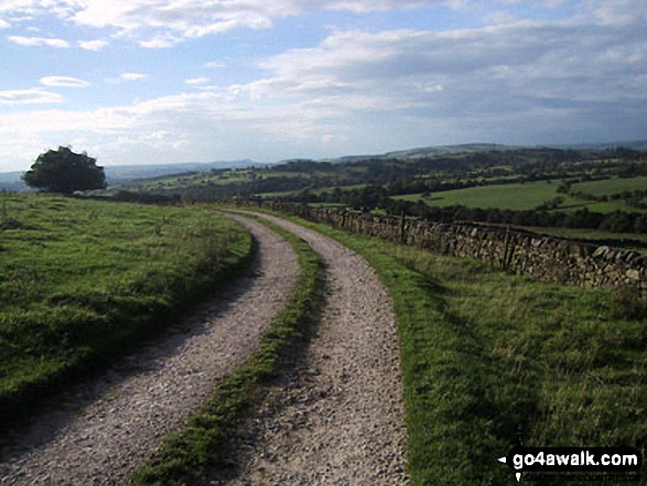
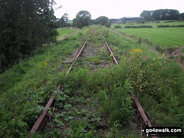
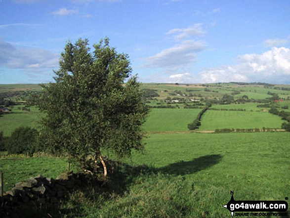
Some Photos and Pictures from Walk s100 Morridge, Moor Top and Lowe Hill from Leek
In no particular order . . .
Send us your photographs and pictures from your walks and hikes
We would love to see your photographs and pictures from walk s100 Morridge, Moor Top and Lowe Hill from Leek. Send them in to us as email attachments (configured for any computer) along with your name and where the picture was taken to:
and we shall do our best to publish them.
(Guide Resolution = 300dpi. At least = 660 pixels (wide) x 440 pixels (high).)

You can also submit photos from walk s100 Morridge, Moor Top and Lowe Hill from Leek via our Facebook Page.
NB. Please indicate where each photo was taken.