   |
Vital Statistics:
| Length: | 9mls (14.5km) |
| Ascent: | 1,257ft (383m) |
| Time: | 5hrs |
| Grade: |  |
Route outline for walk d325:
Bakewell - River Wye - Haddon Park - Shadyside Plantation - Aaron Hole Plantation - Bouns Corner - Rowsley - Congreave Farm - Smithy Wood - Stanton In The Peak - Tolls Wood - Shiningbank Quarry - Haddon Fields - Wigger Dale - Burton Ashes Wood - Bakewell
You can find more walks near this one on these unique free-to-access Interactive Walk Planning Maps: (click/TAP to select)
1:25,000 scale OS Explorer Map (the ones with orange/yellow covers):
1:50,000 scale OS Landranger Map (the ones with pink/magenta covers):
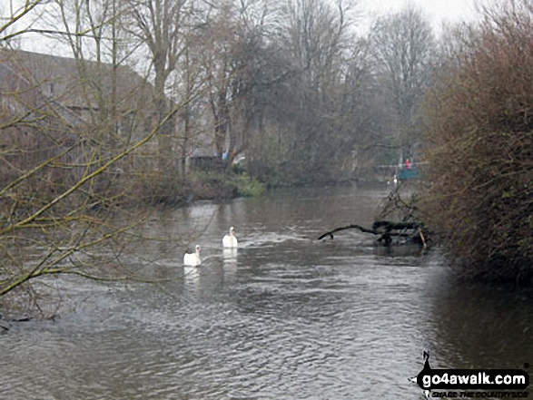
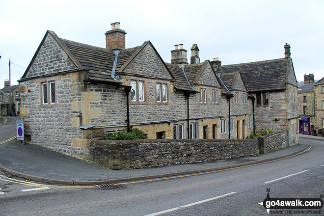
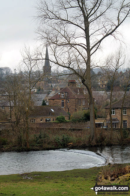
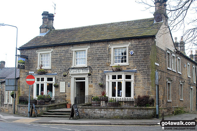
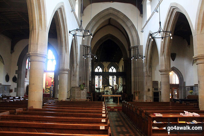
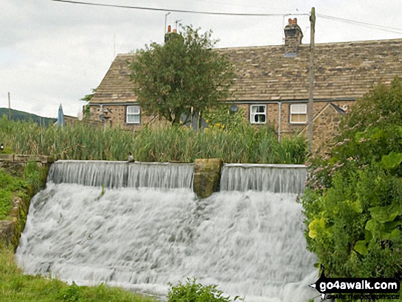
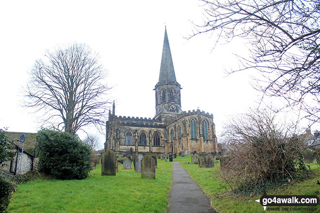
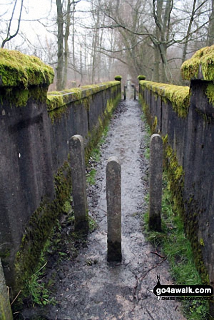
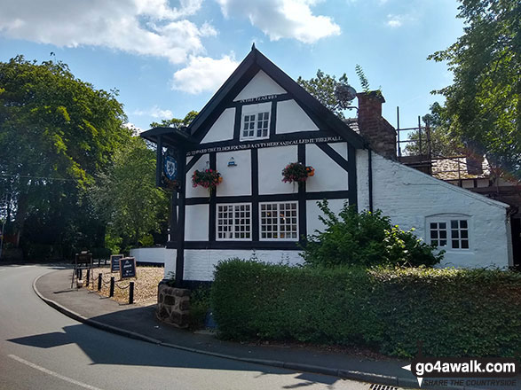
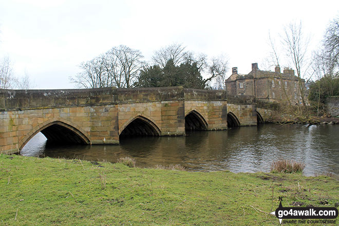
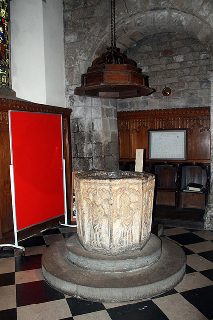
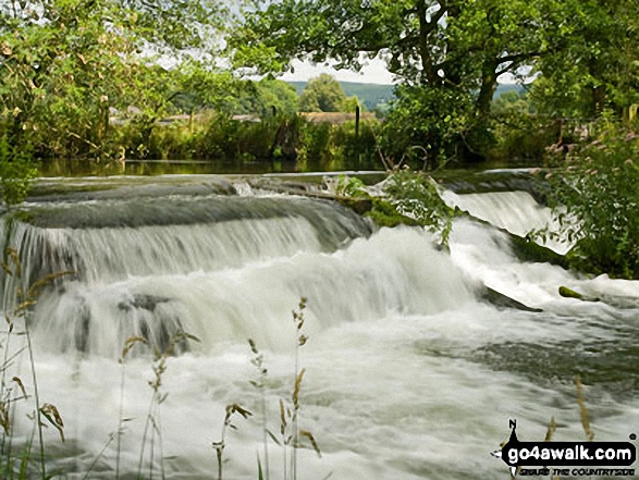
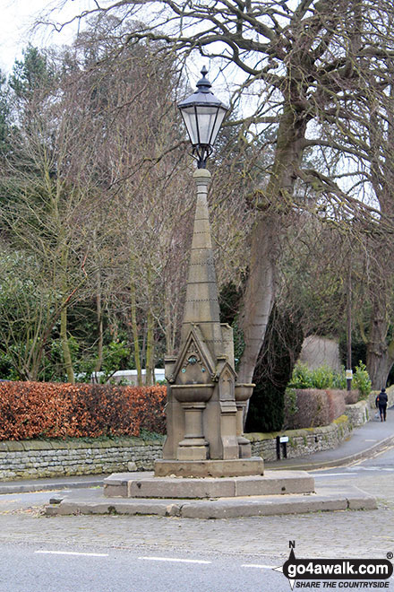
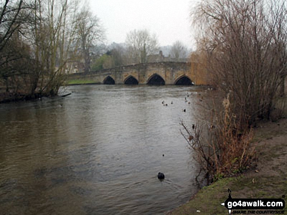
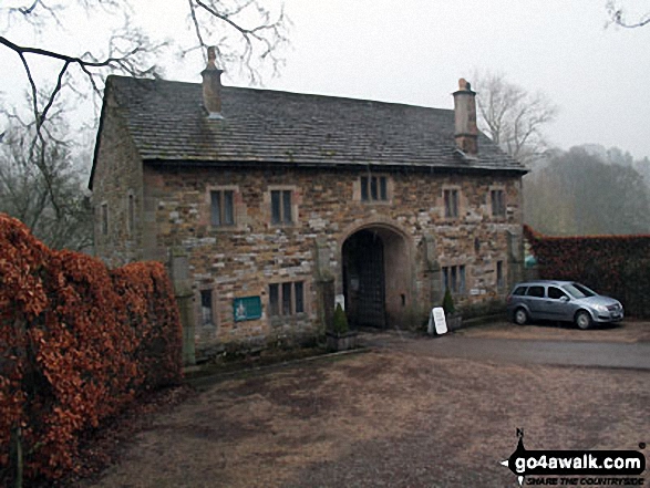
Some Photos and Pictures from Walk d325 Rowsley and Stanton in the Peak from Bakewell
In no particular order . . .
Send us your photographs and pictures from your walks and hikes
We would love to see your photographs and pictures from walk d325 Rowsley and Stanton in the Peak from Bakewell. Send them in to us as email attachments (configured for any computer) along with your name and where the picture was taken to:
and we shall do our best to publish them.
(Guide Resolution = 300dpi. At least = 660 pixels (wide) x 440 pixels (high).)

You can also submit photos from walk d325 Rowsley and Stanton in the Peak from Bakewell via our Facebook Page.
NB. Please indicate where each photo was taken.

To contribute to go4awalk.com or to contact us about anything at all - see Talk To Us. For help see Help.
go4awalk.com and go4awalk.co.uk are registered trademarks of TMDH Limited.
Copyright © 2000-2025 TMDH Limited. All rights reserved.
Copyright Terms & Conditions Privacy Statement
A - Z Walks Home Log On/Accounts Photo Gallery Walk Ideas and Collections Fell Facts Hill Skills Walking Questions and Answers Your Stories News Competitions Product Reviews/Gear Tests Walking Gear Guides Peaks and Mountains Peak Bagging Find New Walking Friends Camping GPS Waypoints for Walking Contents Walk Search Talk To Us go4awalk.com Help Free Example Walks Newsletter


