   |
Vital Statistics:
| Length: | 7mls (11km) |
| Ascent: | 824ft (251m) |
| Time: | 3¼hrs |
| Grade: |  |
Route outline for walk ch266:
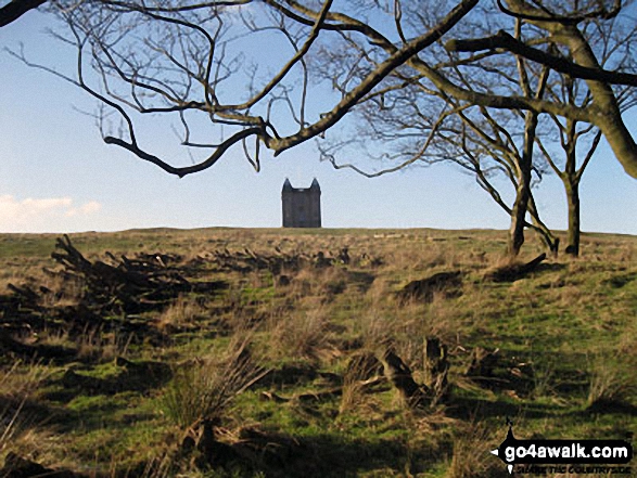
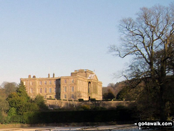
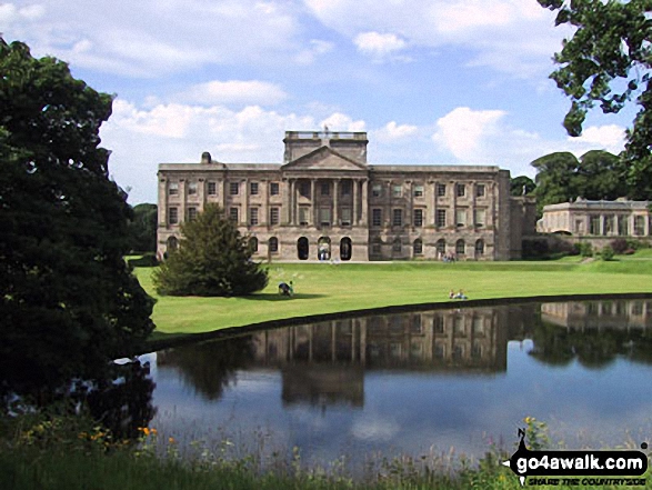
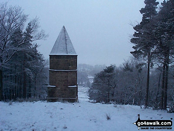
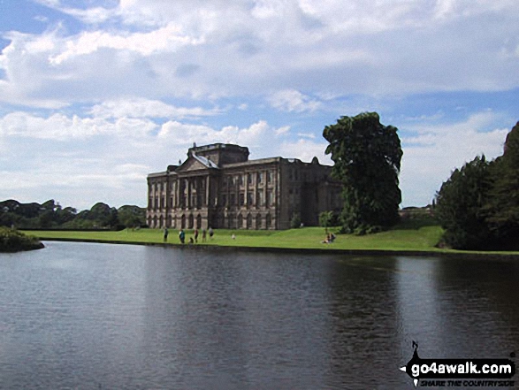
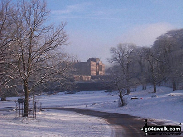
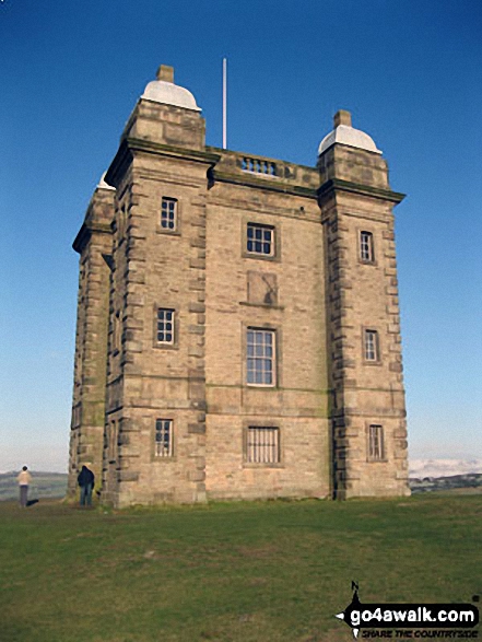
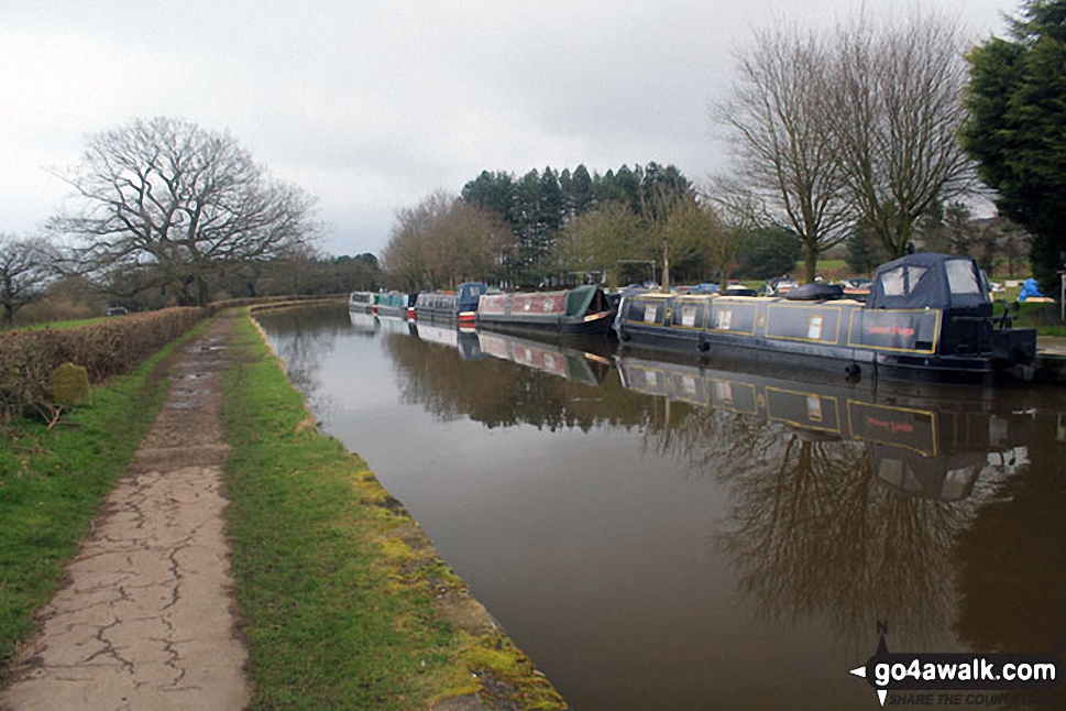
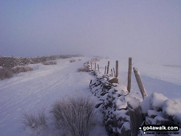
Nelson Pit Visitors Centre - Higher Poynton - The Macclesfield Canal - The Cheshire Ring Canal Walk - Wood Lanes - Adlington Basin - Lockgate Farm - The North Cheshire Way - Harrop Brow - West Parkgate - Lyme Park Country Park - Lyme Park Car Park - The Cage - Lyme Hall - Fallow Deer Park - The Lime Avenue - Lyme Park Car Park - Windgather Farm - Haresteads Farm - Nelson Pit Visitors Centre - Higher Poynton.
National Trails & Long Paths included on this walk:
Part of this walk follows a section of The Cheshire Ring Canal Walk, a 158km (98 miles) circular footpath starting and finishing in Marple in Greater Manchester, England.
The canals that form the Cheshire Ring Canal Walk are (anticlockwise from Marple): The Peak Forest Canal, The Ashton and Rochdale Canals to Castlefield, Manchester, The Bridgewater Canal to Preston Brook, The Trent and Mersey Canal to Hardings Wood Junction near Kidsgrove and The Macclesfield Canal back to Marple.
The Cheshire Ring Canal Walk is waymarked by a bridge & barge motif. For more walks that include a section of this trail see The Cheshire Ring Canal Walk.Part of this walk also follows a section of The North Cheshire Way, a 113km (70 miles) linear footpath connecting Hooton Station in Cheshire, with Disley Station in Cheshire, England. The North Cheshire Way is waymarked by the letter NCW. For more walks that include a section of this trail see The North Cheshire Way.
You can find more walks near this one on these unique free-to-access Interactive Walk Planning Maps: (click/TAP to select)
1:25,000 scale OS Explorer Maps (the ones with orange/yellow covers):
1:50,000 scale OS Landranger Map (the ones with pink/magenta covers):
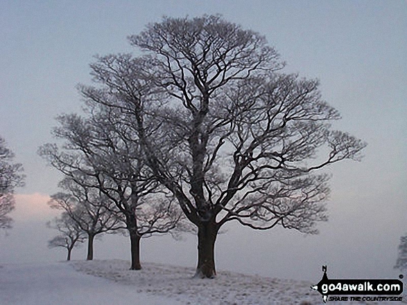
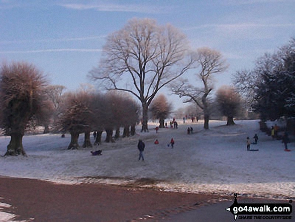
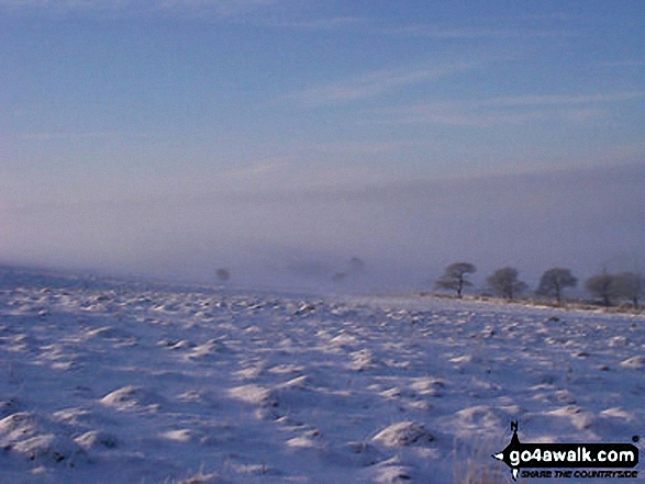
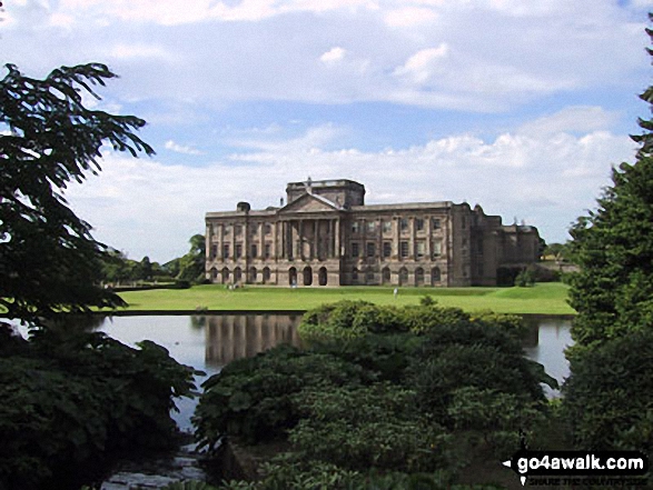
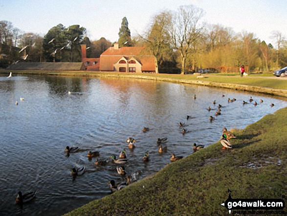
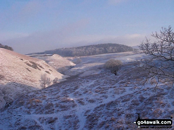
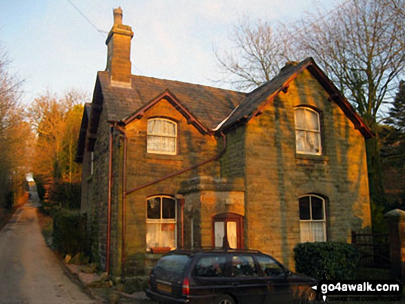
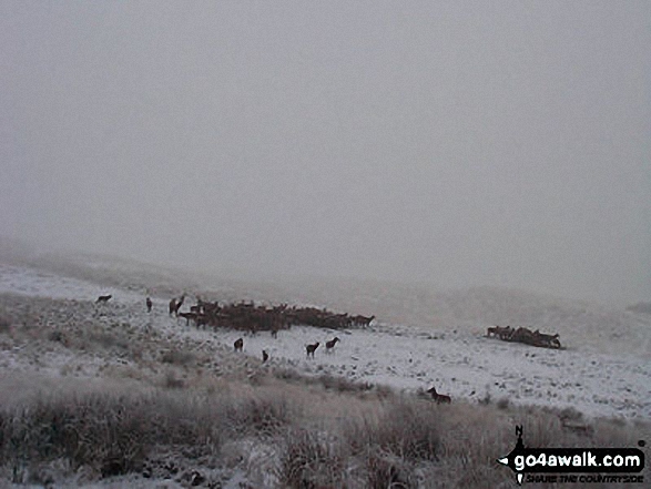
Some Photos and Pictures from Walk ch266 The Macclesfield Canal and Lyme Park from Higher Poynton
In no particular order . . .
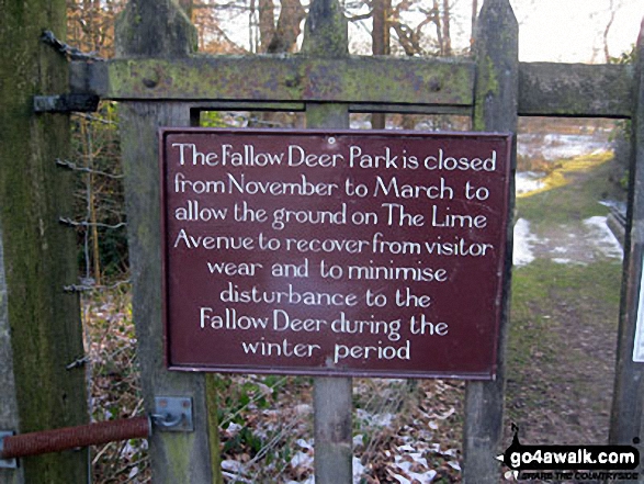
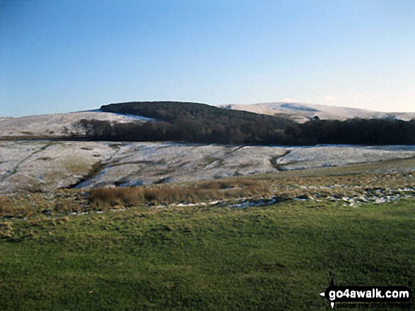
Entrance to the Fallow Deer Park (closed in winter) - Lyme Park Country Park
Send us your photographs and pictures from your walks and hikes
We would love to see your photographs and pictures from walk ch266 The Macclesfield Canal and Lyme Park from Higher Poynton. Send them in to us as email attachments (configured for any computer) along with your name and where the picture was taken to:
and we shall do our best to publish them.
(Guide Resolution = 300dpi. At least = 660 pixels (wide) x 440 pixels (high).)

You can also submit photos from walk ch266 The Macclesfield Canal and Lyme Park from Higher Poynton via our Facebook Page.
NB. Please indicate where each photo was taken.

To contribute to go4awalk.com or to contact us about anything at all - see Talk To Us. For help see Help.
go4awalk.com and go4awalk.co.uk are registered trademarks of TMDH Limited.
Copyright © 2000-2025 TMDH Limited. All rights reserved.
Copyright Terms & Conditions Privacy Statement
A - Z Walks Home Log On/Accounts Photo Gallery Walk Ideas and Collections Fell Facts Hill Skills Walking Questions and Answers Your Stories News Competitions Product Reviews/Gear Tests Walking Gear Guides Peaks and Mountains Peak Bagging Find New Walking Friends Camping GPS Waypoints for Walking Contents Walk Search Talk To Us go4awalk.com Help Free Example Walks Newsletter


