   |
Vital Statistics:
| Length: | 4½mls (7km) |
| Ascent: | 538ft (164m) |
| Time: | 2¼hrs |
| Grade: |  |
Route outline for walk s194:
Longnor - The Manifold Trail - Moss Carr Farm - Hollinsclough - Swallow Brook - Yewtree Grange - Under The Hill - Longnor
National Trails & Long Paths included on this walk:
Part of this walk follows a section of The Manifold Trail, a 37km (23 miles) linear footpath connecting Manifold Head, near Flash in Staffordshire, with Dovedale Car Park, near Ilam in Derbyshire, England. The Manifold Trail is waymarked by named posts. For more walks that include a section of this trail see The Manifold Trail.
You can find this walk and other nearby walks on these unique free-to-access Interactive Walk Planning Maps:
1:25,000 scale OS Explorer Map (orange/yellow covers):
1:50,000 scale OS Landranger Map (pink/magenta covers):
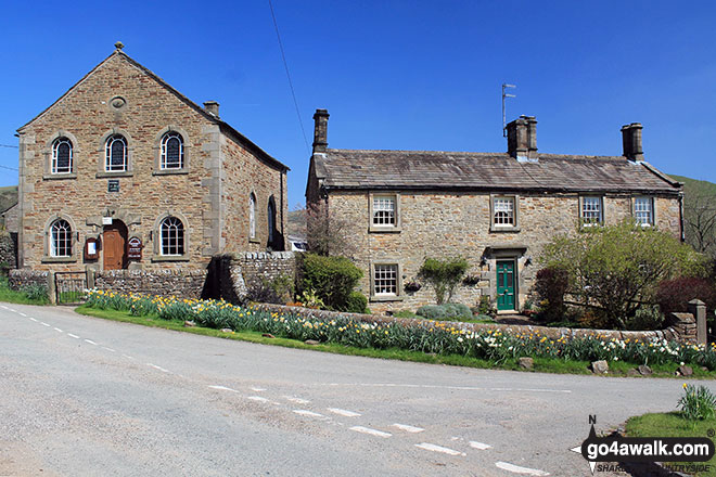
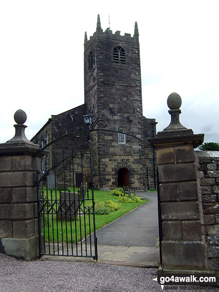
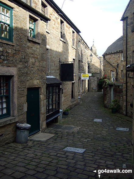
Some Photos and Pictures from Walk s194 Hollinsclough from Longnor
In no particular order . . .
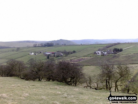
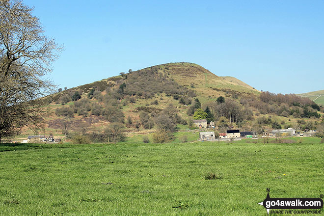
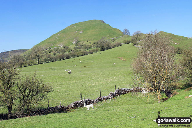
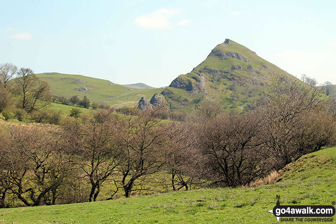
The distinctive outline of Chrome Hill in the distance, just north of the village of Hollinsclough. Taken from footpath between Hill Top Farm and Wilshaw (Moseley)
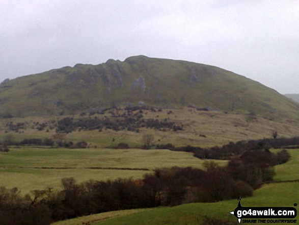
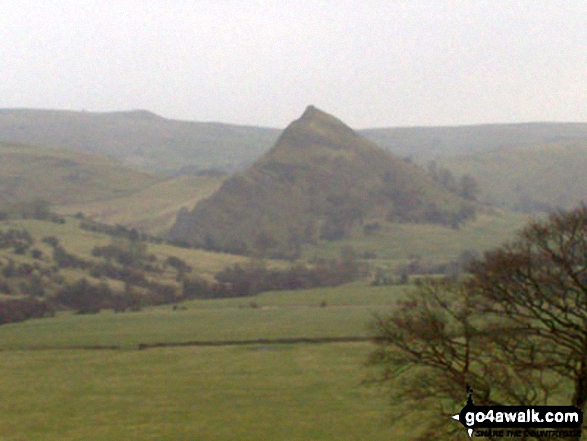
Looking North East to Chrome Hill from where the footpath joins the road into Hollinsclough
East North East to Parkhouse Hill from where the footpath joins road into Hollinsclough

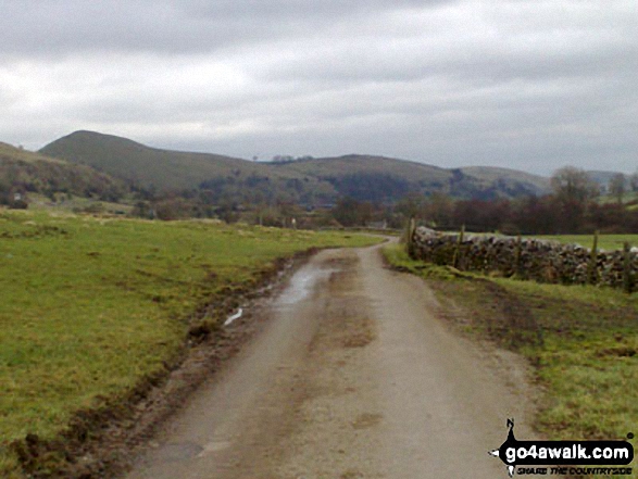
North East to Chrome Hill from where the footpath joins road into Hollinsclough
Send us your photographs and pictures from your walks and hikes
We would love to see your photographs and pictures from walk s194 Hollinsclough from Longnor. Send them in to us as email attachments (configured for any computer) along with your name and where the picture was taken to:
and we shall do our best to publish them.
(Guide Resolution = 300dpi. At least = 660 pixels (wide) x 440 pixels (high).)

You can also submit photos from walk s194 Hollinsclough from Longnor via our Facebook Page.
NB. Please indicate where each photo was taken.


