   |
Vital Statistics:
| Length: | 4½mls (7km) |
| Ascent: | 748ft (228m) |
| Time: | 2½hrs |
| Grade: |  |
Route outline for walk co128:
Pentire Farm - Porth Mear - The South West Coast Path - High Cove - Park Head - Mackerel Cove - Pentire Steps - Diggory's Island - Bedruthan Steps - Pendarve Point - Whitestone Cove - Bedruthan Steps Visitor Centre - B3276 - Pentire Farm
National Trails & Long Paths included on this walk:
Part of this walk follows a section of The South West Coast Path, a 966km (600 miles) linear footpath connecting Minehead in Somerset, England with South Haven Point in Dorset, England. The South West Coast Path is waymarked by a National Trail Acorn. For more walks that include a section of this trail see The South West Coast Path.
Free-to-access Interactive Walk Planning Maps:
1:25,000 scale OS Explorer Map (orange/yellow covers):
An Interactive Walk Planning Map for OS Explorer 106 Newquay & Padstow is not currently available
1:50,000 scale OS Landranger Map (pink/magenta covers):
An Interactive Walk Planning Map for OS Landranger 200 Newquay & Bodmin, Camelford & St Austell is not currently available
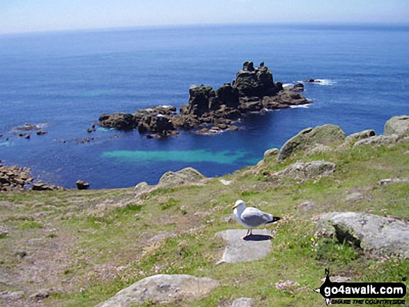
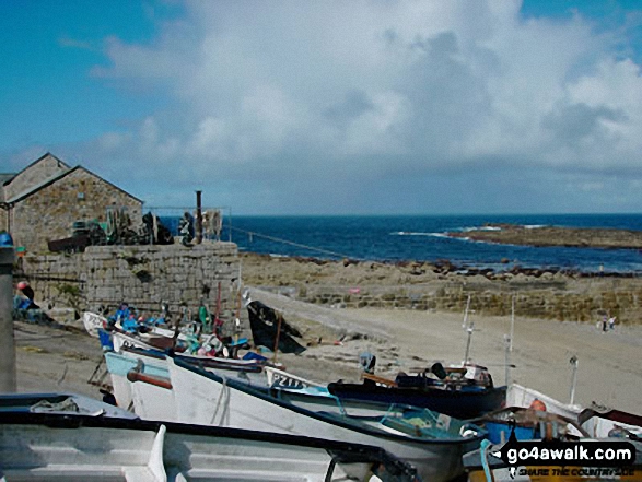
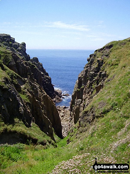
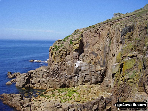
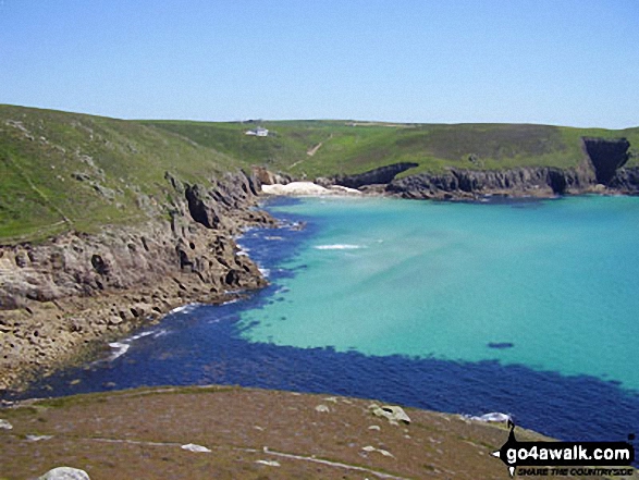
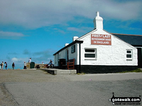
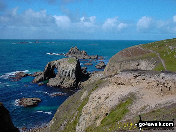
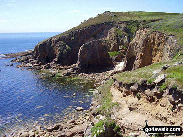
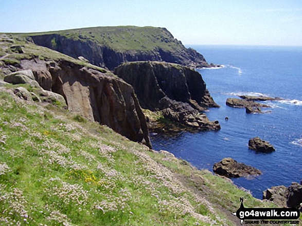
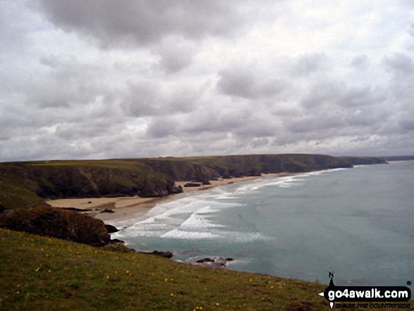
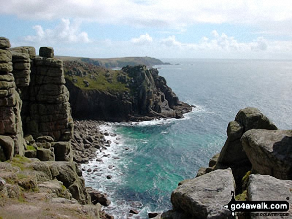
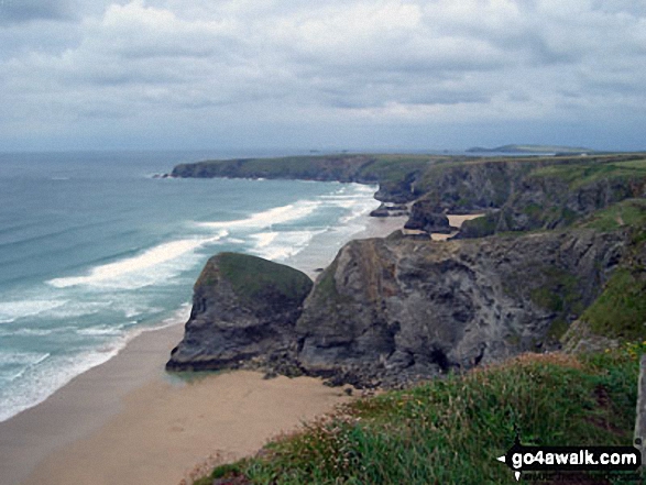
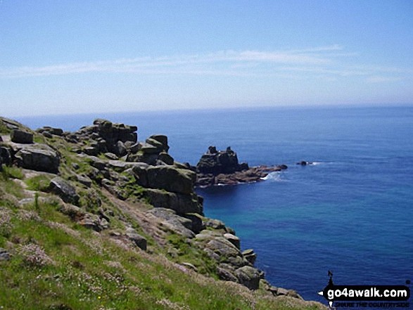
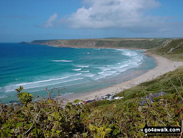
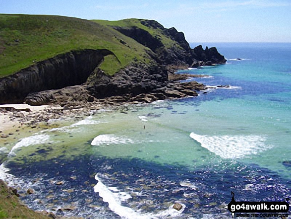
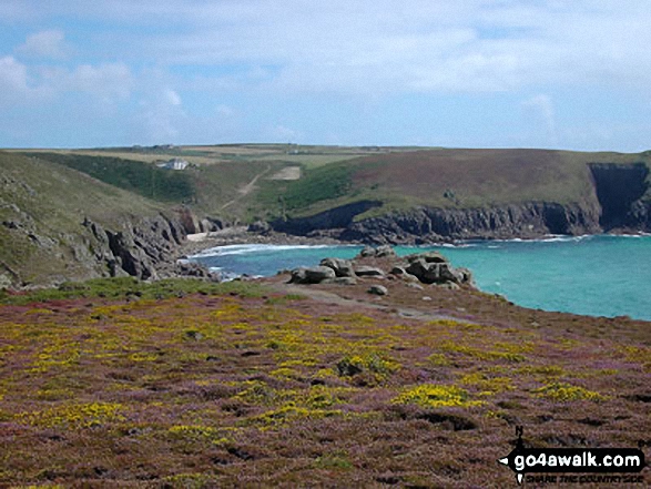
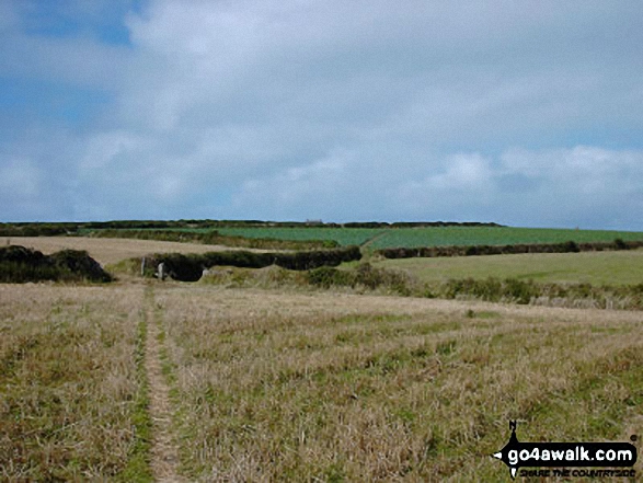
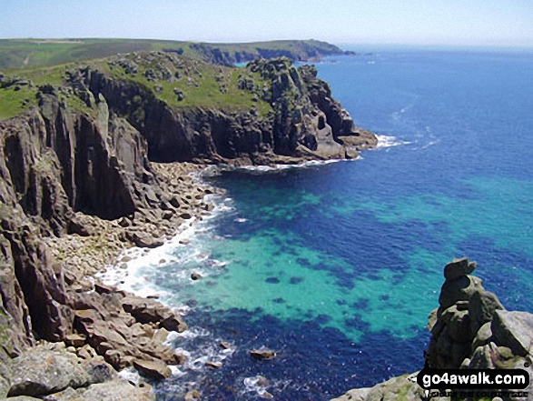
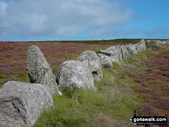
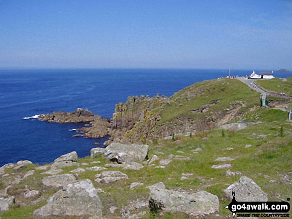
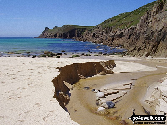
Some Photos and Pictures from Walk co128 Porth Mear and Bedruthan Steps from Pentire Farm
In no particular order . . .
Send us your photographs and pictures from your walks and hikes
We would love to see your photographs and pictures from walk co128 Porth Mear and Bedruthan Steps from Pentire Farm. Send them in to us as email attachments (configured for any computer) along with your name and where the picture was taken to:
and we shall do our best to publish them.
(Guide Resolution = 300dpi. At least = 660 pixels (wide) x 440 pixels (high).)

You can also submit photos from walk co128 Porth Mear and Bedruthan Steps from Pentire Farm via our Facebook Page.
NB. Please indicate where each photo was taken.


