2 easy to follow walk route maps of all grades that include part of The Rob Roy Way
The Rob Roy Way is a 127km (79 miles) linear footpath connecting Drymen in Stirlingshire, Scotland with Pitlochary in Stirlingshire, Scotland.
The Rob Roy Way is waymarked by named posts.
Not familiar with The Rob Roy Way?
See these 2 walks that include part of The Rob Roy Way on an interactive Google Map
   |
Vital Statistics:
| Length: | 2.75 miles (4.5 km) |
| Ascent: | 587ft (179m) |
| Time: | 1.75hrs |
| Grade: |  |
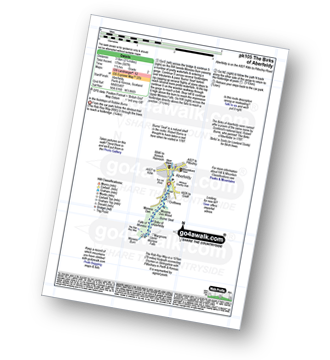
Route Summary:
Aberfeldy - The Rob Roy Way - Moness Burn - Waterfalls - Moness Dun Wood - Birks of Aberfeldy - Upper Moness Falls - Falls of Moness - Moness Den - Aberfeldy
|
Vital Statistics:
| Length: | 6.25 miles (9.5 km) |
| Ascent: | 2,681ft (817m) |
| Time: | 5 hrs |
| Grade: |  |

Route Summary:
Falls of Leny - Car Park NW of Falls of Leny - The Rob Roy Way - Garbh Uisge - Coireachchrombie - Stank - Stank Glen - Bealach Nan Corp - Coire na Fuaire - Gualainn Buidhe - Mullach Buidhem - Ben Ledi - Meal Odher - Creag Ghornm Car Park - Falls of Leny
Not familiar with The Rob Roy Way?
See these 2 walks that include part of The Rob Roy Way on an interactive Google Map