   |
Vital Statistics:
| Length: | 10¼mls (16.5km) |
| Ascent: | 4,611ft (1,405m) |
| Time: | 8½hrs |
| Grade: |  |

Route outline for walk c160:
Buttermere - Gatesgarth - Peggy's Bridge - Scarth Gap Pass - Scarth Gap - Black Sail Hut (Youth Hostel) - Black Sail Pass - Looking Stead (Pillar) - High Level Route - Robinson's Cairn - Pillar - Wind Gap - Black Crag (Pillar) - High Beck - Ennerdale - Scarth Gap Pass - Peggy's Bridge - Gatescarth - Buttermere
Peaks, Summits and Tops reached on this walk:
 2 English Mountains |
 1 Wainwright |
 3 English Nuttalls |
 0 English Deweys |
 0 Wainwright Outlying Fells |
 1 Marilyn |
 0 Bridgets |
Peak Bagging Statistics for this walk:
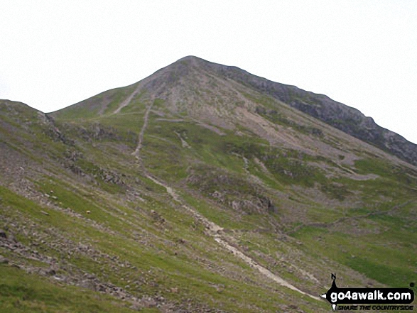
The highest point of this walk is Pillar at 892m (2928ft). Pillar is classified as an English Mountain (Hewitt) (11th highest in England, 29th highest in England & Wales) and a Wainwright (No. 8).
Pillar is also known as an English Nuttall (13th highest in England, 33rd highest in England & Wales) and an English Marilyn (6th highest in England, 249th highest in the UK).
The summit of Pillar is marked by an Ordnance Survey Trig Point.
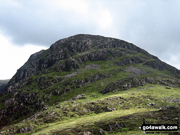
Completing this walk will also take you to the top of Black Crag (Pillar) at 828m (2717ft). Black Crag (Pillar) is classified as an English Mountain (Hewitt) (31st highest in England, 60th highest in England & Wales)
Black Crag (Pillar) is also known as an English Nuttall (37th highest in England, 69th highest in England & Wales).
You will also reach the summit of Looking Stead (Pillar) at 627m (2058ft). Looking Stead (Pillar) is also known as an English Nuttall (220th highest in England, 383rd highest in England & Wales).
You can find this walk and other nearby walks on these unique free-to-access Interactive Walk Planning Maps:
1:25,000 scale OS Explorer Map (orange/yellow covers):
1:50,000 scale OS Landranger Map (pink/magenta covers):
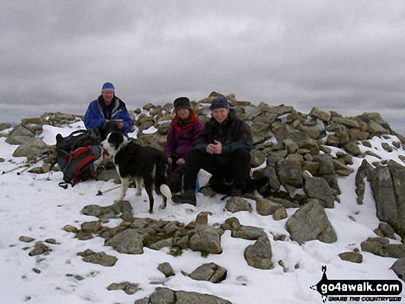
Some Photos and Pictures from Walk c160 Pillar from Gatesgarth, Buttermere
In no particular order . . .


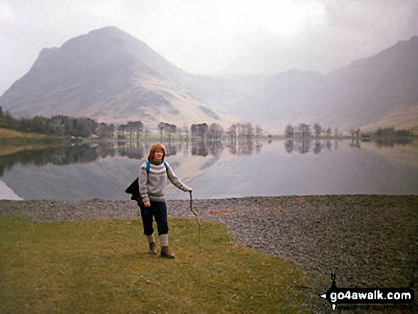
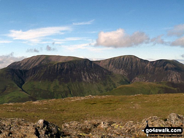
High Stile, Red Pike (Buttermere) and Dodd (Buttermere) from across Buttermere


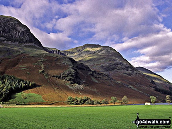
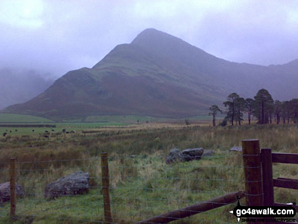
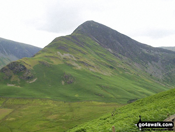
Fleetwith Pike (left), Hay Stacks (Haystacks) and the shoulder of High Crag (Buttermere) (right) across Buttermere

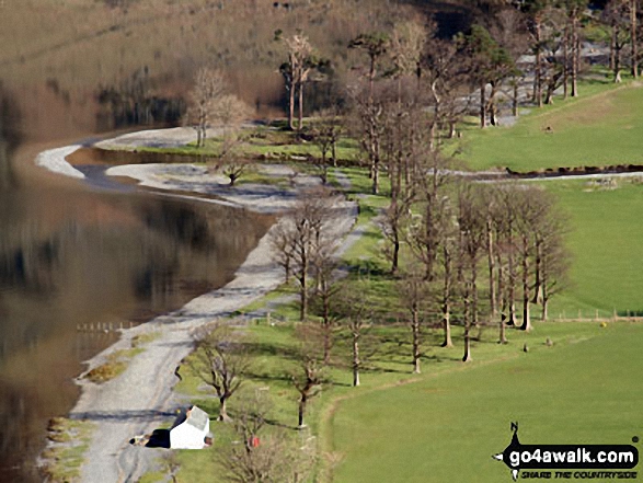
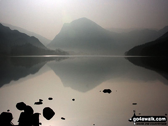
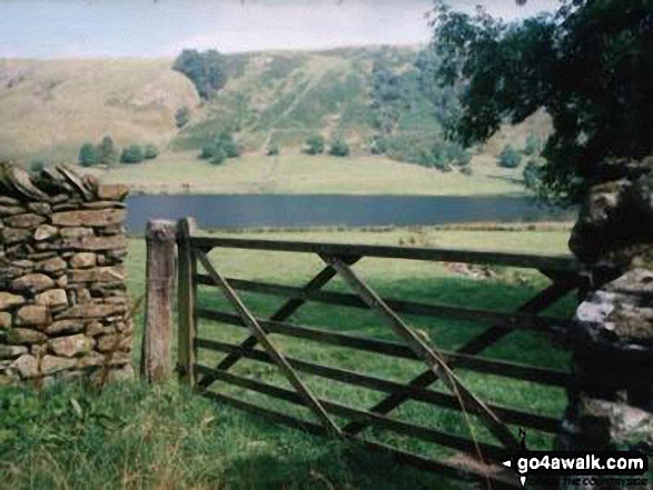
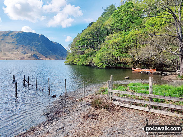
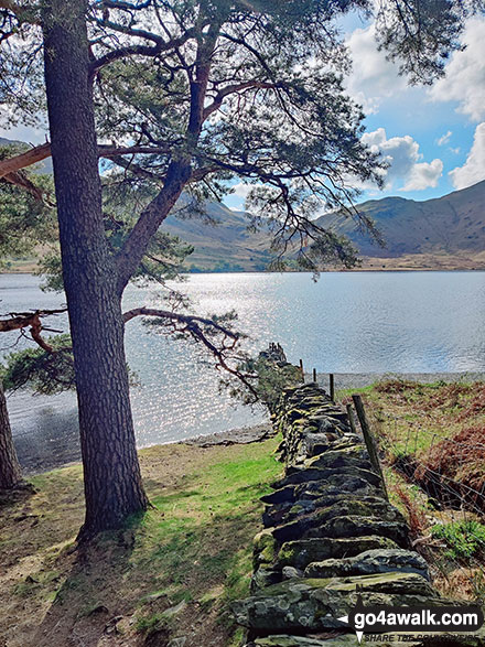
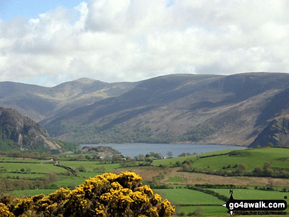
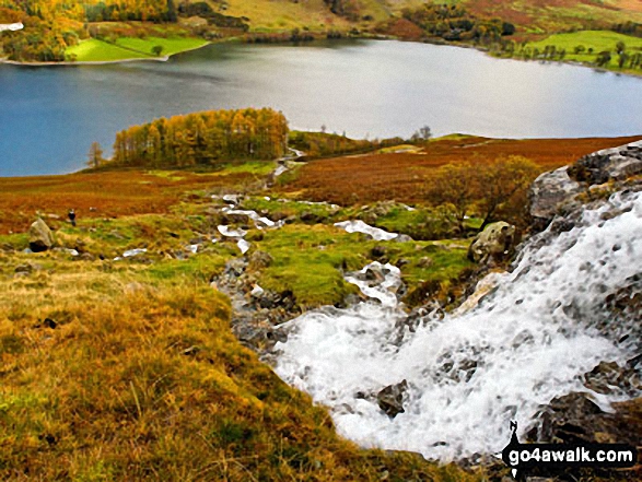
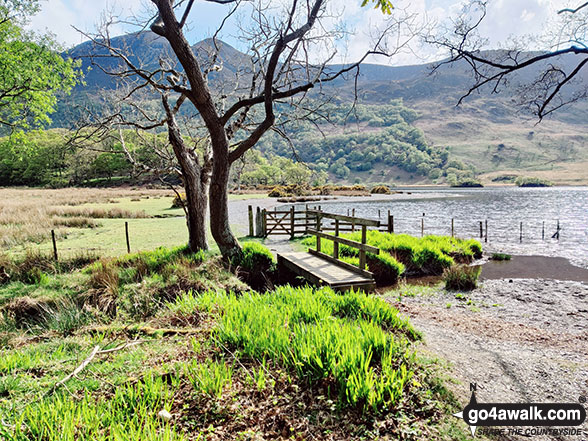
The South East shore of Buttermere Lake from near High Wax Knott above Peggy's Bridge (on the way to Hay Stacks)

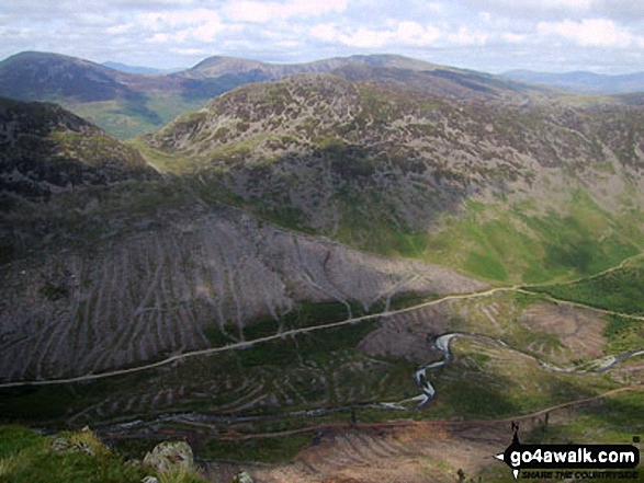
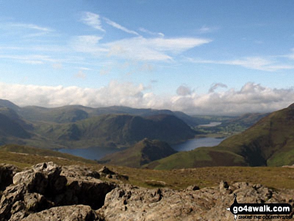
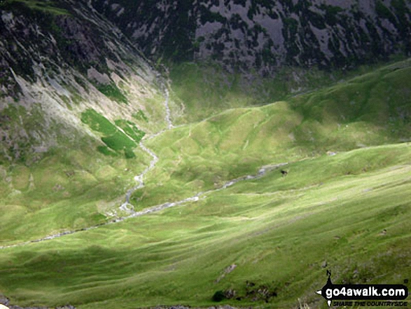
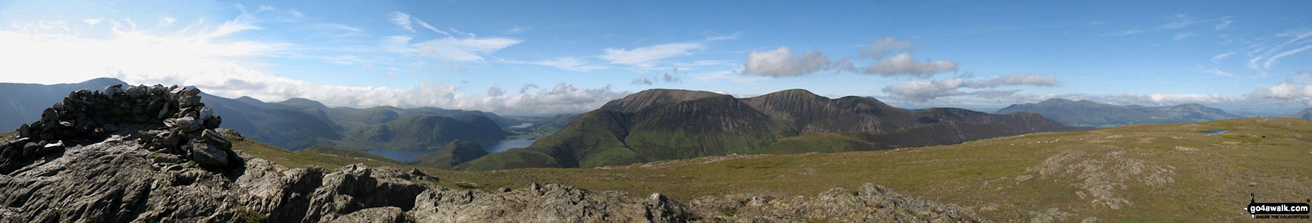
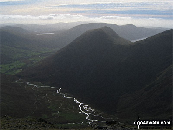
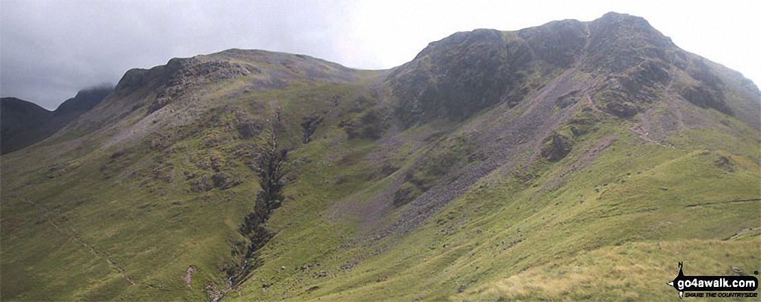
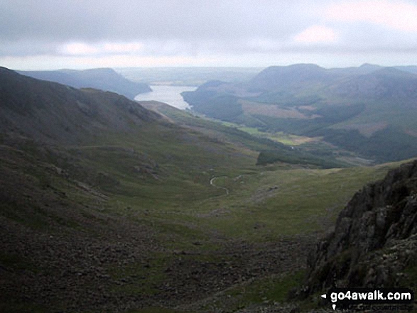
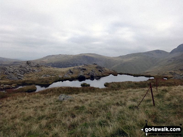
Scarth Gap and Hay stacks (Haystacks) above Ennerdale from The High Level Route, Pillar
High Crag, Seat, Scarth Gap and Hay Stacks (Haystacks) from Looking Stead (Pillar)

Looking over Buttermere to High Snockrigg with Grasmoor in the distance from Scarth Gap
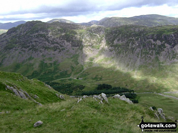
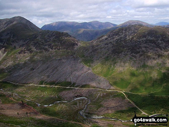
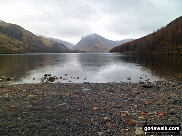
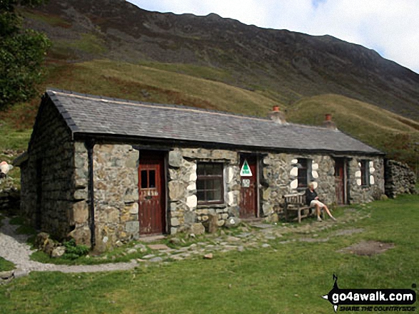
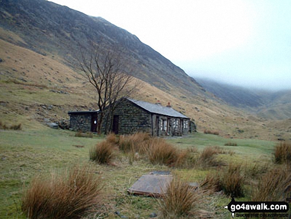
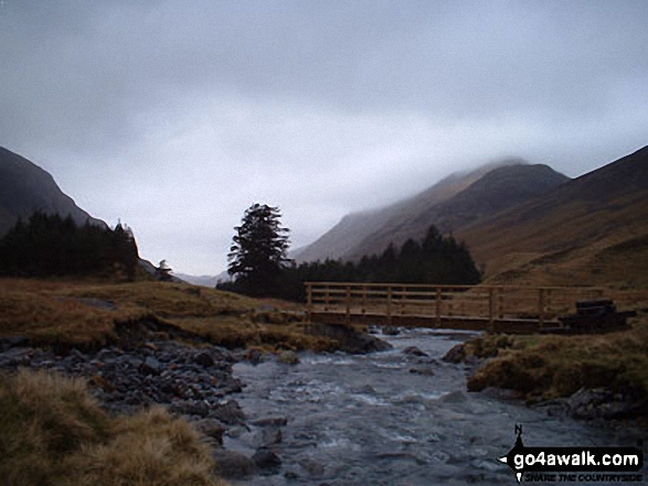
Hay Stacks (Haystacks) above Ennerdale (featuring Black Sail Hut Youth Hostel) from Black Sail Pass

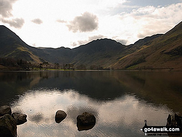
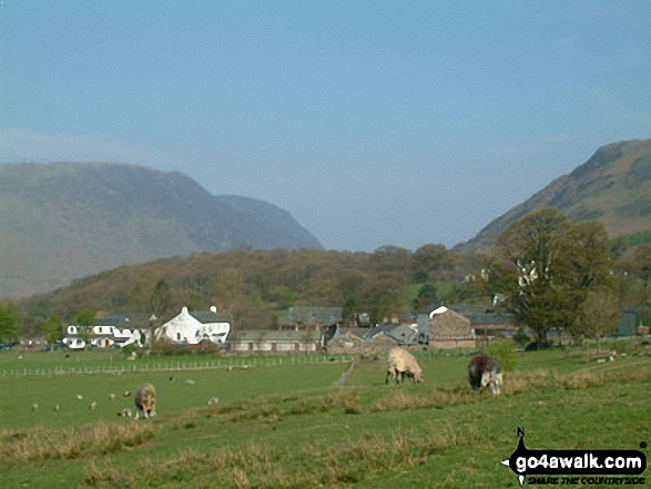
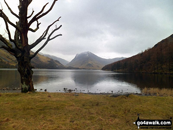
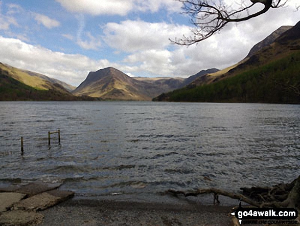
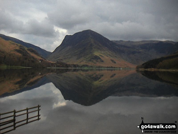
Buttermere, with Fleetwith Pike straight ahead and Hay Stacks (Haystacks) to the right
The summit shelter, Mellbreak, Rannerdale Knotts, Buttermere, Grasmoor, Whiteless Pike, Wandope, Crag Hill (Eel Crag), Sail and Knott Rigg from the summit of Robinson

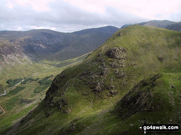
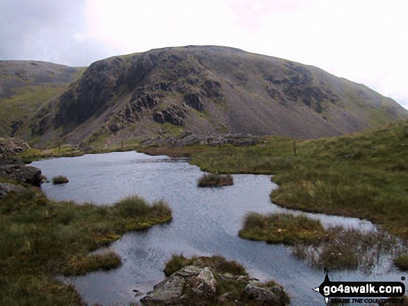
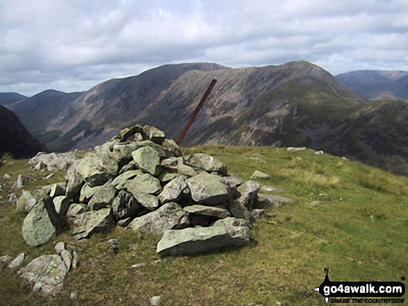
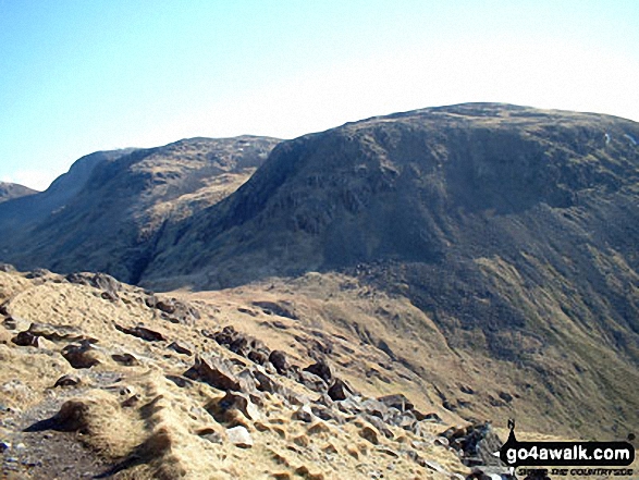
The High Level Route from Looking Stead (Pillar) to Robinson's Cairn, Pillar


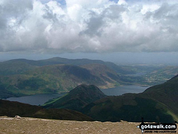
Wasdale Head (left), Burnmoor Tarn, Yewbarrow (front centre), Illgill Head (back) and Wast Water from Pillar

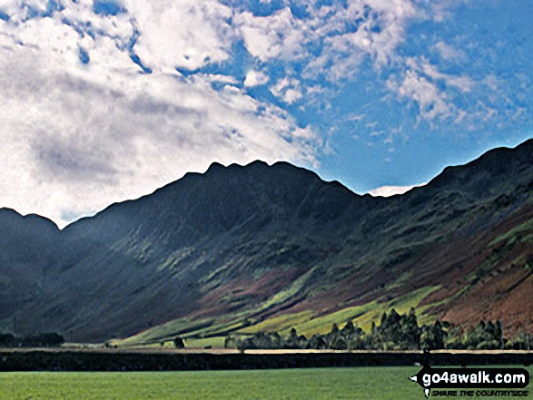
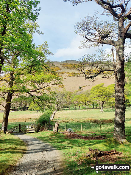
Autumn sunshine on Dale Head (left) and Fleetwith Pike (right) from Burtness Wood

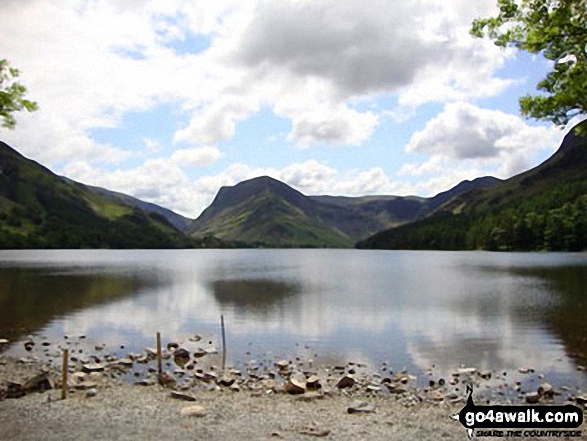
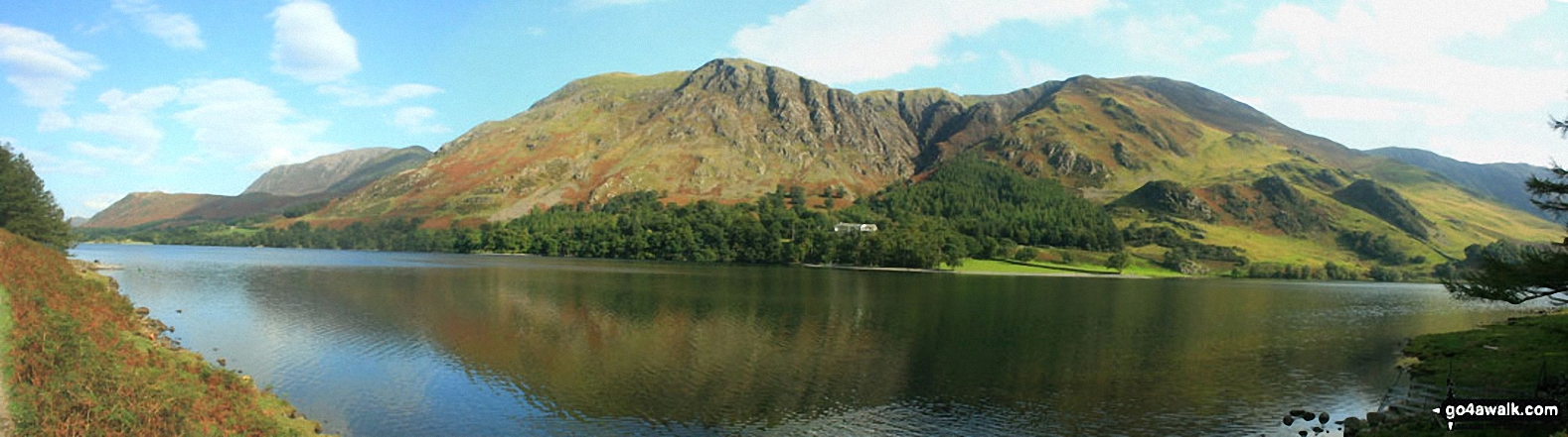
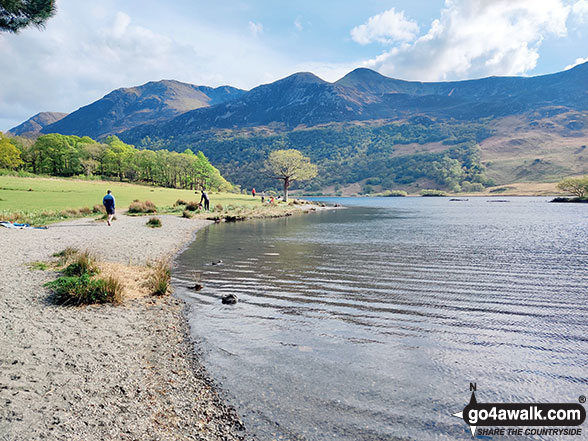
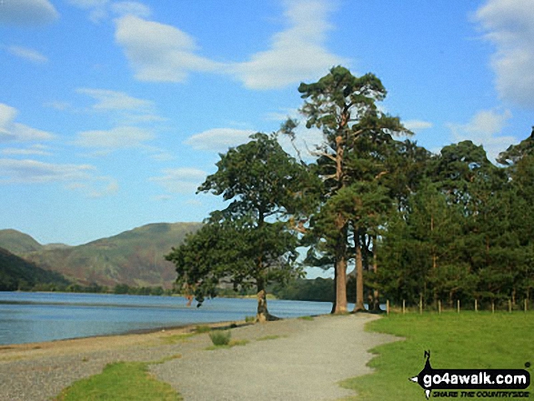
Buttermere Lake - with the lower slopes of High Stile (left), Hen Comb (centre) and Mellbreak (right)

Fleetwith Pike and Hay Stacks (Haystacks) from the campsite near Buttermere village

Autumn sunshine on Dale Head (left) and Fleetwith Pike (right) from Burtness Wood

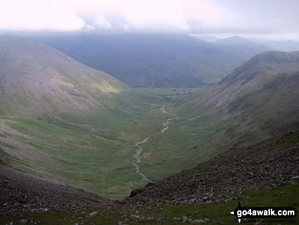
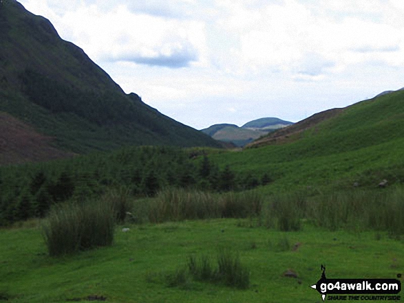
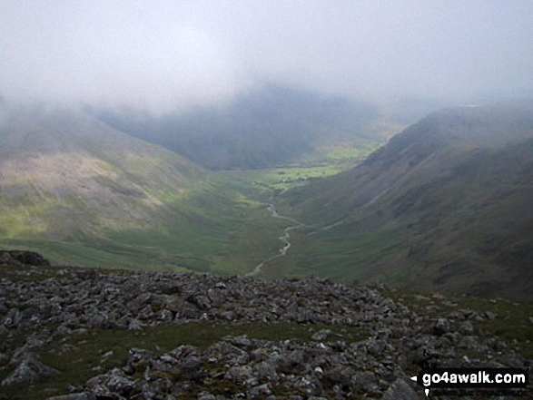
Great Gable (centre) and Kirk Fell (right) from below Black Sail Hut (Youth Hostel) Ennerdale
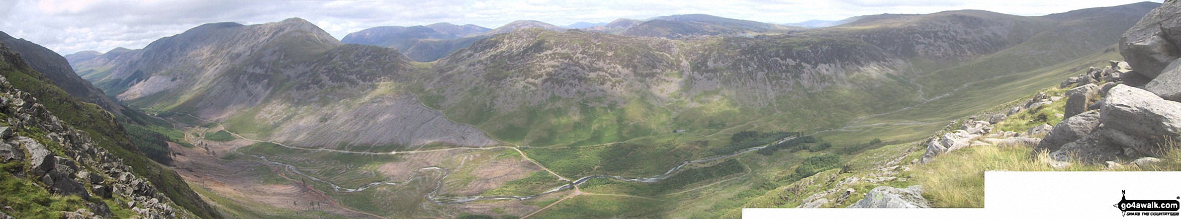
The view north from Looking Stead (Pillar) featuring Ennerdale with Red Pike (Buttermere), High Stile, High Crag, Seat, Scarth Gap, Hay Stacks (Haystacks) and Brandreth (far right)

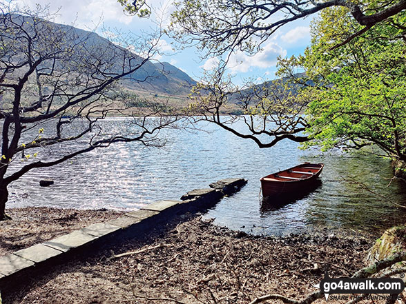
Buttermere from the North West shore featuring Fleetwith Pike (just right of centre)
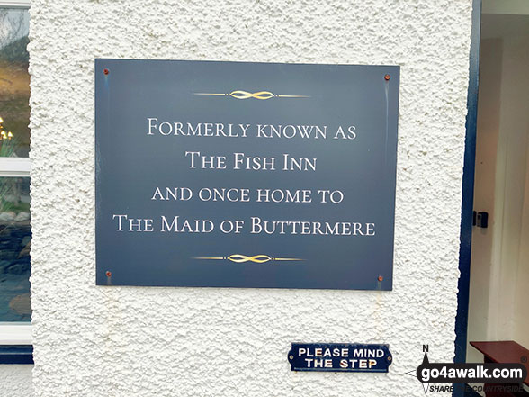
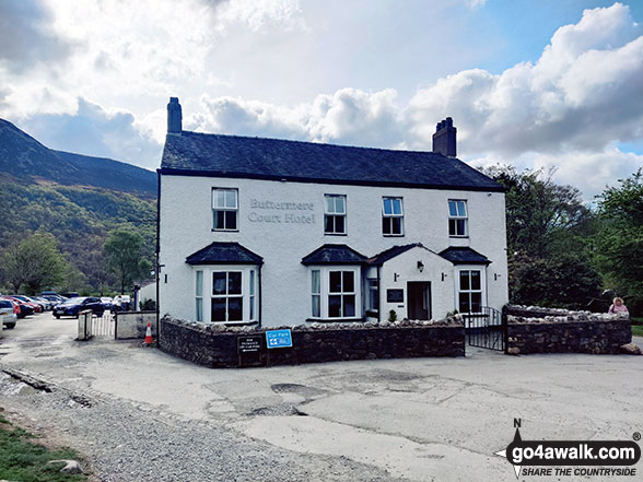
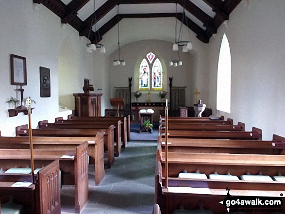
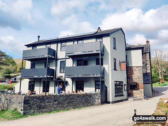
Plaque at the entrance to The Buttermere Court Hotel in Buttermere - formerly known as the Fish Inn


Steeple and Long Crag with Crag Fell (sunlit in the distance), Ennerdale Water and Great Borne from Pillar

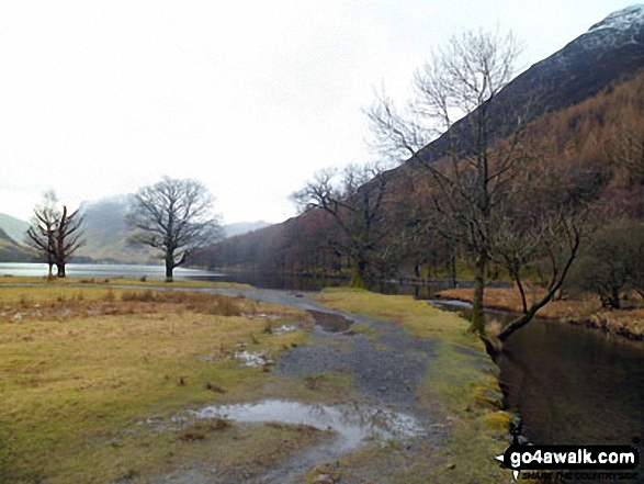

Buttermere Lake with High Snockrigg beyond from near High Wax Knott above Peggy's Bridge (on the way to Hay Stacks)

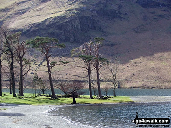

Looking across Buttermere Lake to a Cottage below Hay Stacks (Haystacks) from Hassness


Haystacks from Looking Stead (Pillar) with a Herdwick Sheep for company

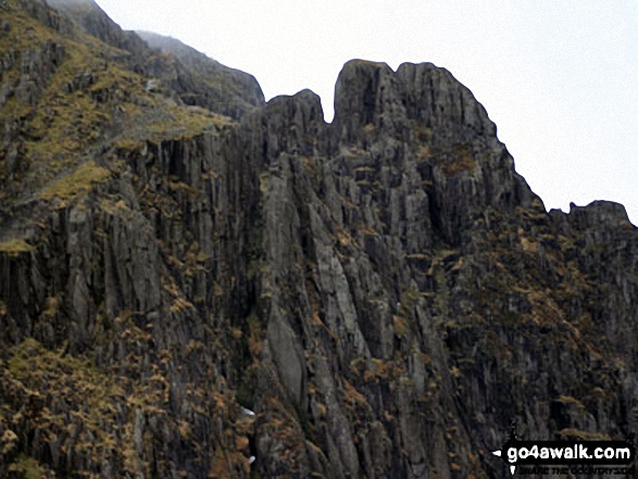
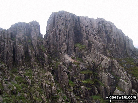
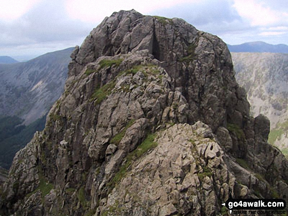
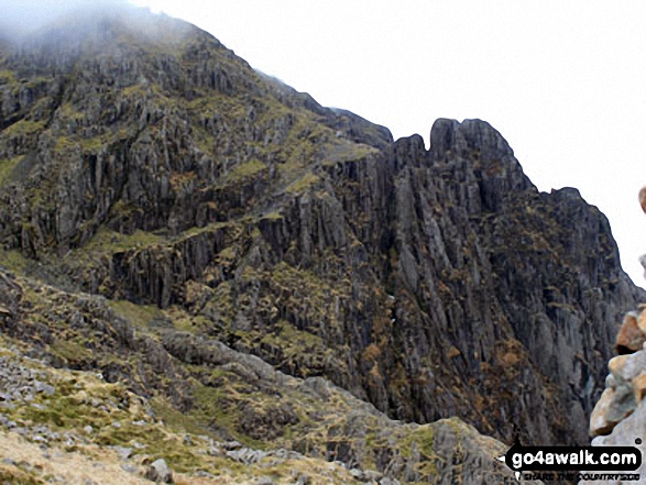
Robinson's Cairn with Pillar Rock beyond (left of the cairn and to right of the 'notch')

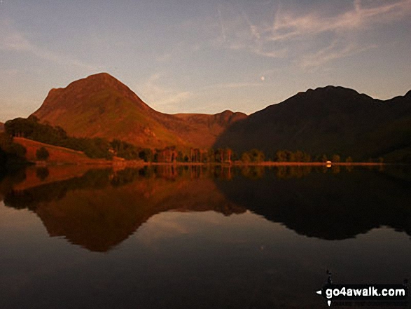
Fleetwith Pike (left) and Hay Stacks (right) across Buttermere Lake from Hassness


Honister Pass (left), Fleetwith Pike, Hay Stacks (Haystacks) and High Crag (Buttermere) across Buttermere


Grasmoor (back), Whiteless Pike, Wandope and Crag Hill (Eel Crag), Sail (mid distance) and Knott Rigg (foreground right) from Robinson


Send us your photographs and pictures from your walks and hikes
We would love to see your photographs and pictures from walk c160 Pillar from Gatesgarth, Buttermere. Send them in to us as email attachments (configured for any computer) along with your name and where the picture was taken to:
and we shall do our best to publish them.
(Guide Resolution = 300dpi. At least = 660 pixels (wide) x 440 pixels (high).)

You can also submit photos from walk c160 Pillar from Gatesgarth, Buttermere via our Facebook Page.
NB. Please indicate where each photo was taken.


