Walk wy127 West Buck Stones (Ilkley Moor) from Ilkley
This 6¼ mile, Grade 4 (Moderate), easy-to-follow, hand-crafted walk, complete with GPS Waypoints, starts at Ilkley & will take about 3¼ hrs to complete.
   |
Vital Statistics:
| Length: | 6¼mls (10km) |
| Ascent: | 935ft (285m) |
| Time: | 3¼hrs |
| Grade: |  |
Route outline for walk wy127:
Ilkley - The Dales Way - Swastika Stone - High Moor - Overgate Croft Farm. West Buck Stones - East Buck Stones - Cowper's Cross - Whetstone Gate - Ilkley Moor - Grainings Head - Ilkley
Peaks, Summits and Tops reached on this walk:
 0 English Mountains |
 0 Wainwrights |
 0 English Nuttalls |
 0 English Deweys |
 0 Wainwright Outlying Fells |
 0 Marilyns |
 0 Bridgets |
National Trails & Long Paths included on this walk:
Part of this walk follows a section of The Dales Way, a 130km (81 miles) linear footpath connecting Ilkley in West Yorkshire, England with Bowness-On-Windermere in Cumbria, England. The Dales Way is waymarked by named posts. For more walks that include a section of this trail see The Dales Way.
Free-to-access Interactive Walk Planning Maps:
1:25,000 scale OS Explorer Map (orange/yellow covers):
An Interactive Walk Planning Map for OS Explorer 297 Lower Wharfedale & Washburn Valley is not currently available
1:50,000 scale OS Landranger Map (pink/magenta covers):
An Interactive Walk Planning Map for OS Landranger 104 Leeds & Bradford, Harrogate & Ilkley is not currently available
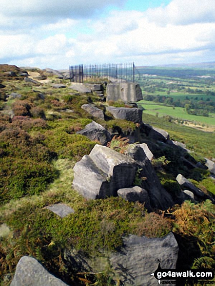
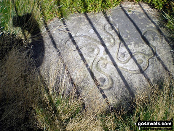
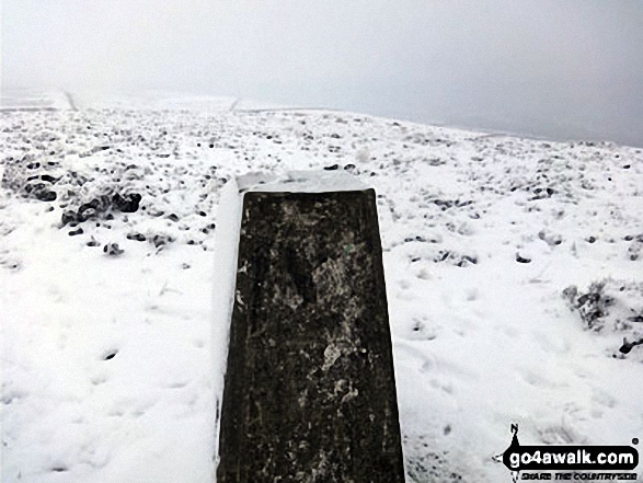
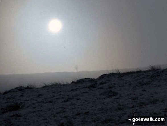
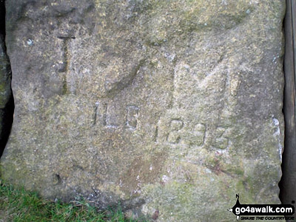
Some Photos and Pictures from Walk wy127 West Buck Stones (Ilkley Moor) from Ilkley
In no particular order . . .


. . . load all 12 walk photos from Walk wy127 West Buck Stones (Ilkley Moor) from Ilkley
Send us your photographs and pictures from your walks and hikes
We would love to see your photographs and pictures from walk wy127 West Buck Stones (Ilkley Moor) from Ilkley. Send them in to us as email attachments (configured for any computer) along with your name and where the picture was taken to:
and we shall do our best to publish them.
(Guide Resolution = 300dpi. At least = 660 pixels (wide) x 440 pixels (high).)

You can also submit photos from walk wy127 West Buck Stones (Ilkley Moor) from Ilkley via our Facebook Page.
NB. Please indicate where each photo was taken.
To contribute to go4awalk.com or to contact us about anything at all - see Talk To Us.
For help see Help.
go4awalk.com and go4awalk.co.uk are registered trademarks of TMDH Limited.
Copyright © 2000-2026 TMDH Limited. All rights reserved.
Copyright Terms & Conditions Privacy Statement
A - Z Walks Home Log On/Accounts Photo Gallery Walk Ideas and Collections Fell Facts Hill Skills Walking Questions and Answers Your Stories News Competitions Product Reviews/Gear Tests Walking Gear Guides Peaks and Mountains Peak Bagging Find New Walking Friends Camping GPS Waypoints for Walking Contents Walk Search Talk To Us go4awalk.com Help Free Example Walks Newsletter


