Walk sh114 Welshampton and Spout Wood from The Mere, Ellesmere
This 8¾ mile, Grade 3 (Easy), easy-to-follow, hand-crafted walk, complete with GPS Waypoints, starts at The Mere & will take about 3¾ hrs to complete.
   |
Vital Statistics:
| Length: | 8¾mls (14km) |
| Ascent: | 578ft (176m) |
| Time: | 3¾hrs |
| Grade: |  |
Route outline for walk sh114:
The Mere - Ellesmere - Crimps�Farm - Ellesmere Point - Welshampton - Hawthorn House - The Stocks - Brook House - Mill Wood - Old Coppice - Spout Wood - Sandy Hall - Haughton Farm - The Mere - Ellesmere.
Peaks, Summits and Tops reached on this walk:
 0 English Mountains |
 0 Wainwrights |
 0 English Nuttalls |
 0 English Deweys |
 0 Wainwright Outlying Fells |
 0 Marilyns |
 0 Bridgets |
You can find this walk and other nearby walks on these unique Interactive Walk Planning Maps:
(worth a look if you're new to go4awalk.com & have never seen one of these before.)
1:25,000 scale OS Explorer Maps (orange/yellow covers):
An Interactive Walk Planning Map for OS Explorer 240 Oswestry is not currently available
1:50,000 scale OS Landranger Map (pink/magenta covers):
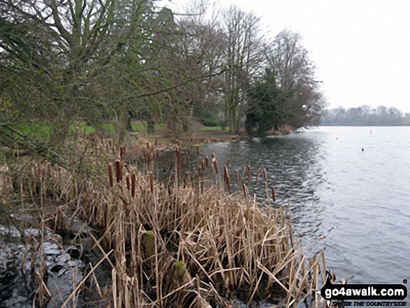
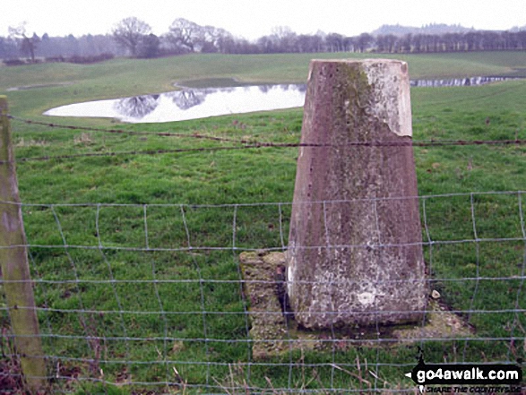
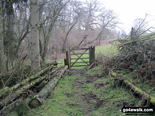
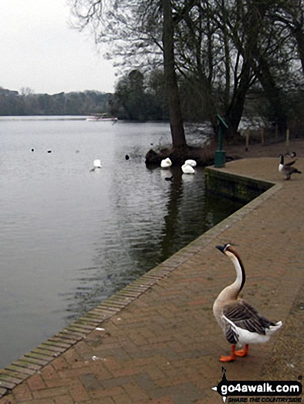
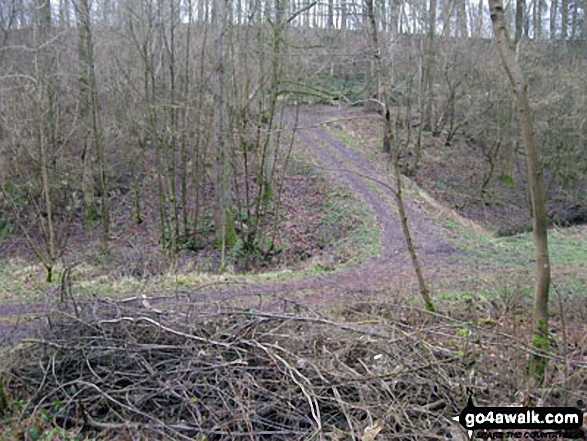
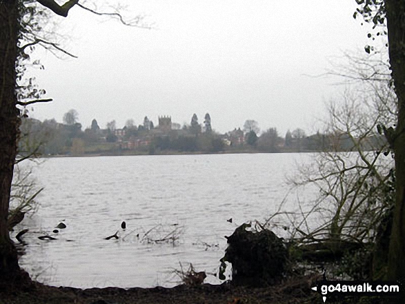
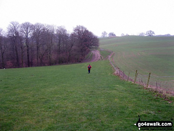
Some Photos and Pictures from Walk sh114 Welshampton and Spout Wood from The Mere, Ellesmere
In no particular order . . .

. . . load all 12 walk photos from Walk sh114 Welshampton and Spout Wood from The Mere, Ellesmere
Send us your photographs and pictures from your walks and hikes
We would love to see your photographs and pictures from walk sh114 Welshampton and Spout Wood from The Mere, Ellesmere. Send them in to us as email attachments (configured for any computer) along with your name and where the picture was taken to:
and we shall do our best to publish them.
(Guide Resolution = 300dpi. At least = 660 pixels (wide) x 440 pixels (high).)

You can also submit photos from walk sh114 Welshampton and Spout Wood from The Mere, Ellesmere via our Facebook Page.
NB. Please indicate where each photo was taken.

To contribute to go4awalk.com or to contact us about anything at all - see Talk To Us.
For help see Help.
go4awalk.com and go4awalk.co.uk are registered trademarks of TMDH Limited.
Copyright © 2000-2026 TMDH Limited. All rights reserved.
Copyright Terms & Conditions Privacy Statement
A - Z Walks Home Log On/Accounts Photo Gallery Walk Ideas and Collections Fell Facts Hill Skills Walking Questions and Answers Your Stories News Competitions Product Reviews/Gear Tests Walking Gear Guides Peaks and Mountains Peak Bagging Find New Walking Friends Camping GPS Waypoints for Walking Contents Walk Search Talk To Us go4awalk.com Help Free Example Walks Newsletter


