   |
Vital Statistics:
| Length: | 8¼mls (13km) |
| Ascent: | 2,009ft (612m) |
| Time: | 5hrs |
| Grade: |  |
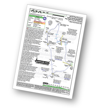
Route outline for walk po112:
A470 Nr Llwyn-y-celyn Youth Hostel - Libanus - Twyn Dylluan-ddu - Fan Frynych - Craig Cerrig-gleisiad - Rhos Dringarth - Gorllwn - Fan Fawr - Bryn Du - The Storey Arms Outdoor Centre - The Taff Trail - A470.
Peaks, Summits and Tops reached on this walk:
 3 Welsh Mountains |
 0 Wainwrights |
 3 Welsh Nuttalls |
 0 Welsh Deweys |
 0 Wainwright Outlying Fells |
 1 Welsh Marilyn |
 0 Bridgets |
Peak Bagging Statistics for this walk:
The highest point of this walk is Fan Fawr at 734m (2409ft). Fan Fawr is classified as a Welsh Mountain (Hewitt) (56th highest in Wales, 135th highest in England & Wales)
Fan Fawr is also known as a Welsh Nuttall (70th highest in Wales, 167th highest in England & Wales) and a Welsh Marilyn (26th highest in Wales, 517th highest in the UK).
Fan Fawr means 'Large Beacon' in Welsh and is pronounced 'van-vowr'.
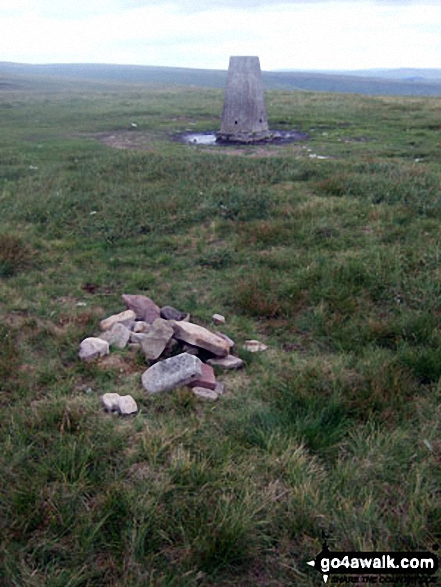
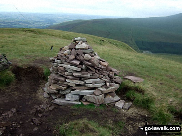
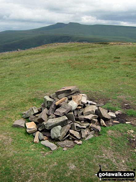
The summit of Fan Fawr is marked by a cairn. Fan Fawr's Ordnance Survey Trig Point lies some 500m SE of the summit.
Completing this walk will also take you to the top of Craig Cerrig-gleisiad at 629m (2064ft). Craig Cerrig-gleisiad is classified as a Welsh Mountain (Hewitt) (114th highest in Wales, 275th highest in England & Wales)
Craig Cerrig-gleisiad is also known as a Welsh Nuttall (159th highest in Wales, 374th highest in England & Wales). Craig Cerrig-gleisiad means 'Blue Stone Rock' in Welsh and is pronounced 'kryg-kerig-gl-ay-si-ad'.
The summit of Craig Cerrig-gleisiad is marked by a cairn.
You will also reach the summit of Fan Frynych at 628m (2062ft). Fan Frynych is classified as a Welsh Mountain (Hewitt) (115th highest in Wales, 276th highest in England & Wales)
Fan Frynych is also known as a Welsh Nuttall (162nd highest in Wales, 377th highest in England & Wales). Fan Frynych means 'Ox Hill Beacon' in Welsh and is pronounced 'van-vrinic'.
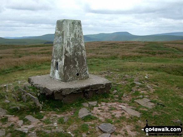
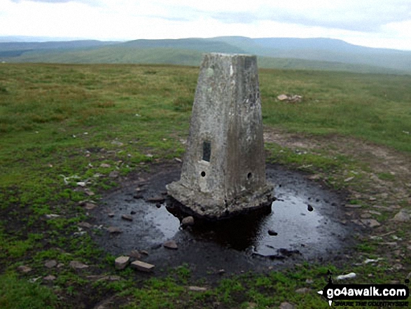
The summit of Fan Frynych is marked by an Ordnance Survey Trig Point.
National Trails & Long Paths included on this walk:
Part of this walk follows a section of The Taff Trail, an 88km (55 miles) linear footpath connecting Cardiff in Powys, Wales with Brecon in Powys, Wales. The Taff Trail is waymarked by a viaduct in a yellow arrow motif. For more walks that include a section of this trail see The Taff Trail.
You can find more walks near this one on these unique free-to-access Interactive Walk Planning Maps: (click/TAP to select)
1:25,000 scale OS Explorer Map (the ones with orange/yellow covers):
1:50,000 scale OS Landranger Map (the ones with pink/magenta covers):
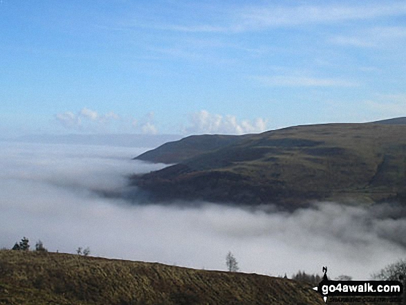
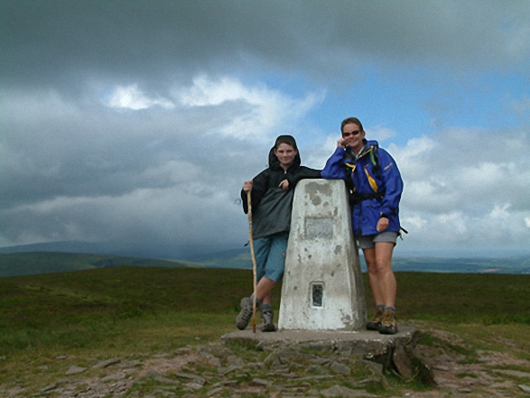
Some Photos and Pictures from Walk po112 Fan Frynych, Craig Cerrig-gleisiad and Fan Fawr from near Libanus
In no particular order . . .
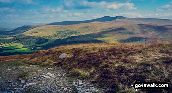
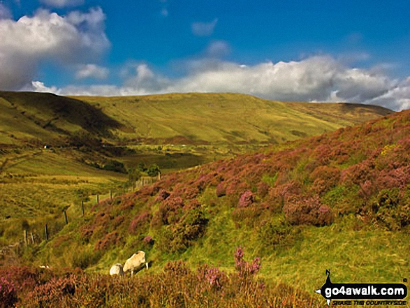
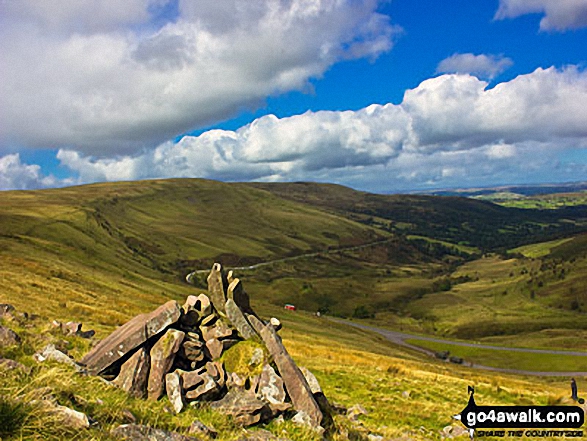
On the Beacons Way above Glyn Tarell near Craig y Fro on the lower slopes of Fan Fawr
Send us your photographs and pictures from your walks and hikes
We would love to see your photographs and pictures from walk po112 Fan Frynych, Craig Cerrig-gleisiad and Fan Fawr from near Libanus. Send them in to us as email attachments (configured for any computer) along with your name and where the picture was taken to:
and we shall do our best to publish them.
(Guide Resolution = 300dpi. At least = 660 pixels (wide) x 440 pixels (high).)

You can also submit photos from walk po112 Fan Frynych, Craig Cerrig-gleisiad and Fan Fawr from near Libanus via our Facebook Page.
NB. Please indicate where each photo was taken.
To contribute to go4awalk.com or to contact us about anything at all - see Talk To Us. For help see Help.
go4awalk.com and go4awalk.co.uk are registered trademarks of TMDH Limited.
Copyright © 2000-2024 TMDH Limited. All rights reserved.
Copyright | Terms & Conditions | Privacy Statement
A - Z
Walks
Home
Log On/Accounts
Photo Gallery
Walk Ideas and Collections
Fell Facts
Places to Stay
Hill Skills
Walking Questions and Answers
Your Stories
News
Competitions
Product Reviews/Gear Tests
Walking Gear Guides
Peaks and Mountains
Peak Bagging
Find New Walking Friends
Camping
GPS Waypoints for Walking
Walk Search
Talk to us
go4awalk.com Help
Free example walks
Newsletter


