Walk pe120 Carn Llidi, Carnedd-lleithr and St David's Head from Whitesands Bay (Porth Mawr)
This 6¼ mile, Grade 5 (Moderate), easy-to-follow, hand-crafted walk, complete with GPS Waypoints, starts at Whitesands Bay (Porth Mawr) & will take about 4 hrs to complete.
   |
Vital Statistics:
| Length: | 6¼mls (10km) |
| Ascent: | 1,660ft (506m) |
| Time: | 4hrs |
| Grade: |  |

Route outline for walk pe120:
Whitesands Bay (Porth Mawr) - Upper Porthmawr - Carn Llidi - Trefelly - Carnedd-lleithr - Carn-ffald - Carn Treliwyd - The Pembrokeshire Coast Path - Porth Llong - Llechenhinen - St David's Head - Porthmelgan - Penlledwen - Porth Lleuog - Trwynhwrddyn - Whitesands Bay.
Peaks, Summits and Tops reached on this walk:
 0 Welsh Mountains |
 0 Wainwrights |
 0 Welsh Nuttalls |
 0 Welsh Deweys |
 0 Wainwright Outlying Fells |
 0 Welsh Marilyns |
 1 Bridget |
Peak Bagging Statistics for this walk:
The highest point of this walk is Carn Llidi at 181m (594ft). Carn Llidi is known as a Welsh Bridget. The summit of Carn Llidi is marked by a rocky outcrop..
National Trails & Long Paths included on this walk:
Part of this walk follows a section of The Pembrokeshire Coast Path, a 299km (186 miles) linear footpath connecting Amroth in Pembrokeshire, with St Dogmaels in Pembrokeshire, Wales. The Pembrokeshire Coast Path is waymarked by a National Trail Acorn. For more walks that include a section of this trail see The Pembrokeshire Coast Path.
You can find this walk and other nearby walks on these unique Interactive Walk Planning Maps:
(worth a look if you're new to go4awalk.com & have never seen one of these before.)
1:25,000 scale OS Explorer Map (orange/yellow covers):
1:50,000 scale OS Landranger Map (pink/magenta covers):
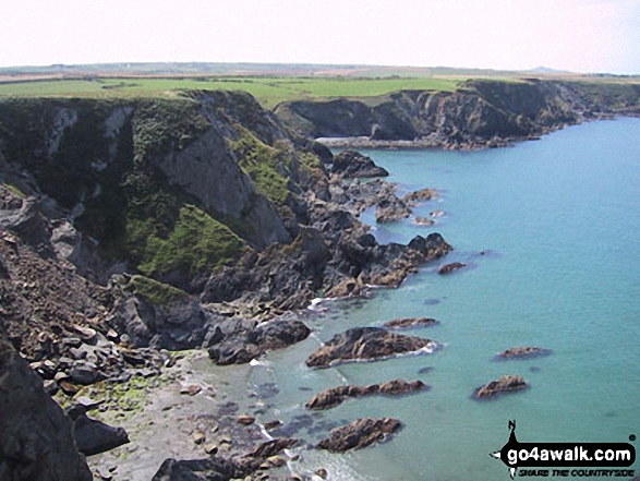
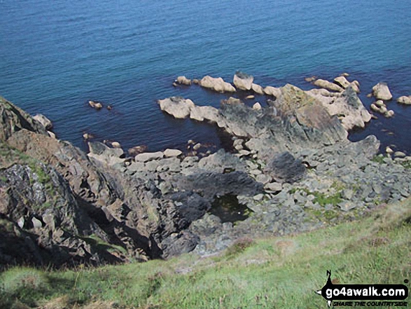
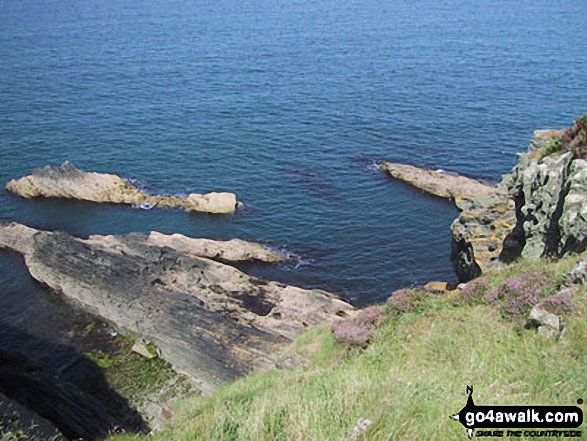
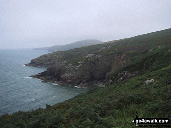
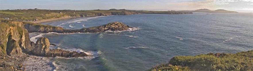
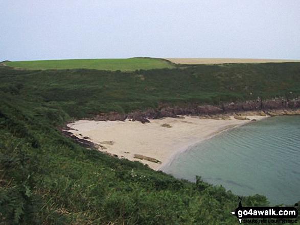
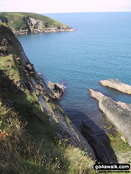
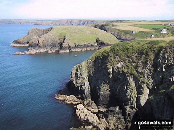
Some Photos and Pictures from Walk pe120 Carn Llidi, Carnedd-lleithr and St David's Head from Whitesands Bay (Porth Mawr)
In no particular order . . .


Send us your photographs and pictures from your walks and hikes
We would love to see your photographs and pictures from walk pe120 Carn Llidi, Carnedd-lleithr and St David's Head from Whitesands Bay (Porth Mawr). Send them in to us as email attachments (configured for any computer) along with your name and where the picture was taken to:
and we shall do our best to publish them.
(Guide Resolution = 300dpi. At least = 660 pixels (wide) x 440 pixels (high).)

You can also submit photos from walk pe120 Carn Llidi, Carnedd-lleithr and St David's Head from Whitesands Bay (Porth Mawr) via our Facebook Page.
NB. Please indicate where each photo was taken.
To contribute to go4awalk.com or to contact us about anything at all - see Talk To Us.
For help see Help.
go4awalk.com and go4awalk.co.uk are registered trademarks of TMDH Limited.
Copyright © 2000-2026 TMDH Limited. All rights reserved.
Copyright Terms & Conditions Privacy Statement
A - Z Walks Home Log On/Accounts Photo Gallery Walk Ideas and Collections Fell Facts Hill Skills Walking Questions and Answers Your Stories News Competitions Product Reviews/Gear Tests Walking Gear Guides Peaks and Mountains Peak Bagging Find New Walking Friends Camping GPS Waypoints for Walking Contents Walk Search Talk To Us go4awalk.com Help Free Example Walks Newsletter


