Walk n152 Dunstan from Craster
This 8¾ mile, Grade 4 (Moderate), easy-to-follow, hand-crafted walk, complete with GPS Waypoints, starts at Craster & will take about 4 hrs to complete.
   |
Vital Statistics:
| Length: | 8¾mls (14km) |
| Ascent: | 601ft (183m) |
| Time: | 4hrs |
| Grade: |  |
Route outline for walk n152:
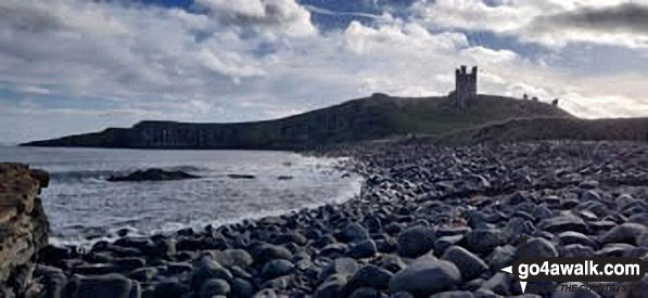
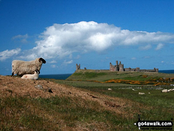
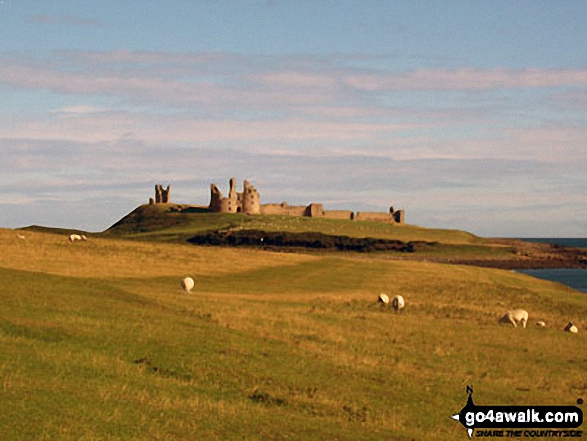
Craster - Dunstanburgh Castle - Dunstan Steads Farm - Dunstan - Craster Tower - Hips Heugh - Howick Hall - Northumberland Coast - Rambling Kern - Cullernose Point - Black Hole - Craster
Points of Interest/Notes on this walk:
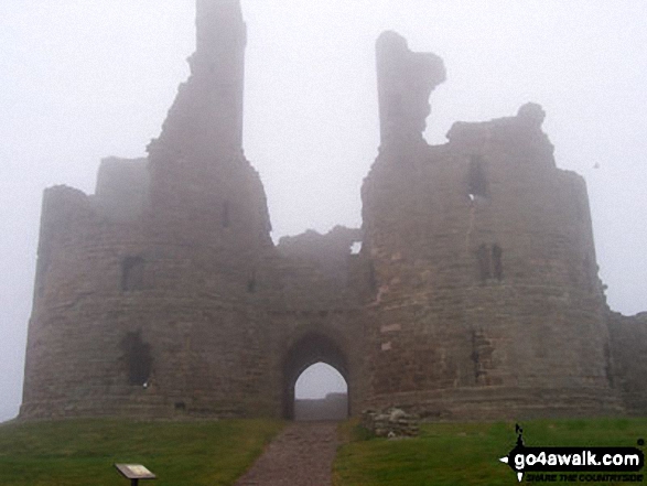
Dunstanburgh Castle, stronghold of Thomas of Lancaster, is owned by The National Trust.
Peaks, Summits and Tops reached on this walk:
 0 English Mountains |
 0 Wainwrights |
 0 English Nuttalls |
 0 English Deweys |
 0 Wainwright Outlying Fells |
 0 Marilyns |
 0 Bridgets |
You can find this walk and other nearby walks on these unique Interactive Walk Planning Maps:
(worth a look if you're new to go4awalk.com & have never seen one of these before.)
1:25,000 scale OS Explorer Map (orange/yellow covers):
1:50,000 scale OS Landranger Maps (pink/magenta covers):
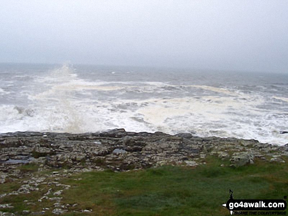
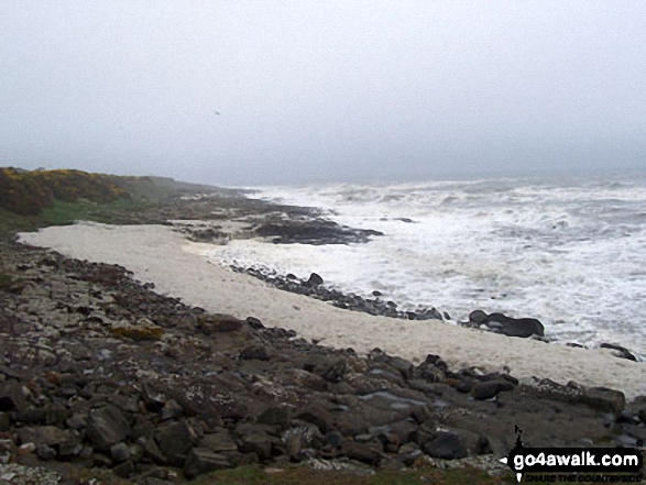
Some Photos and Pictures from Walk n152 Dunstan from Craster
In no particular order . . .


. . . load all 28 walk photos from Walk n152 Dunstan from Craster
Send us your photographs and pictures from your walks and hikes
We would love to see your photographs and pictures from walk n152 Dunstan from Craster. Send them in to us as email attachments (configured for any computer) along with your name and where the picture was taken to:
and we shall do our best to publish them.
(Guide Resolution = 300dpi. At least = 660 pixels (wide) x 440 pixels (high).)

You can also submit photos from walk n152 Dunstan from Craster via our Facebook Page.
NB. Please indicate where each photo was taken.
To contribute to go4awalk.com or to contact us about anything at all - see Talk To Us.
For help see Help.
go4awalk.com and go4awalk.co.uk are registered trademarks of TMDH Limited.
Copyright © 2000-2026 TMDH Limited. All rights reserved.
Copyright Terms & Conditions Privacy Statement
A - Z Walks Home Log On/Accounts Photo Gallery Walk Ideas and Collections Fell Facts Hill Skills Walking Questions and Answers Your Stories News Competitions Product Reviews/Gear Tests Walking Gear Guides Peaks and Mountains Peak Bagging Find New Walking Friends Camping GPS Waypoints for Walking Contents Walk Search Talk To Us go4awalk.com Help Free Example Walks Newsletter


