   |
Vital Statistics:
| Length: | 9½mls (15km) |
| Ascent: | 2,009ft (612m) |
| Time: | 5½hrs |
| Grade: |  |
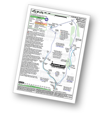
Route outline for walk n128:
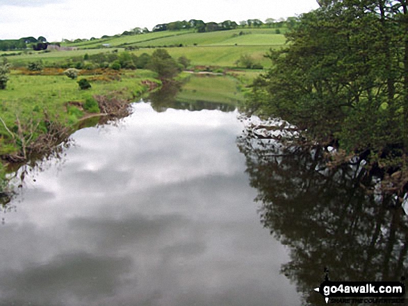
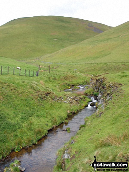
Wedder Leap - River Coquet - Rowhope Burn - Trows Burn - Windy Gyle - The Pennine Way - Hazely Law - Hepden Burn - Clennel St - Middle Hill - Fairhaugh - Barrow Burn - Barrowburn.
Peaks, Summits and Tops reached on this walk:
 1 English Mountain |
 0 Wainwrights |
 1 English Nuttall |
 0 English Deweys |
 0 Wainwright Outlying Fells |
 0 Marilyns |
 0 Bridgets |
Peak Bagging Statistics for this walk:
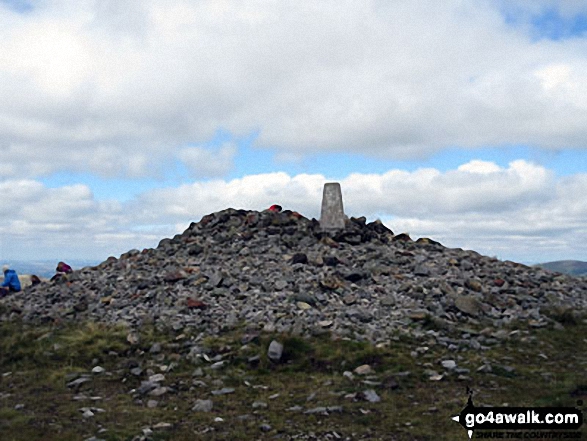
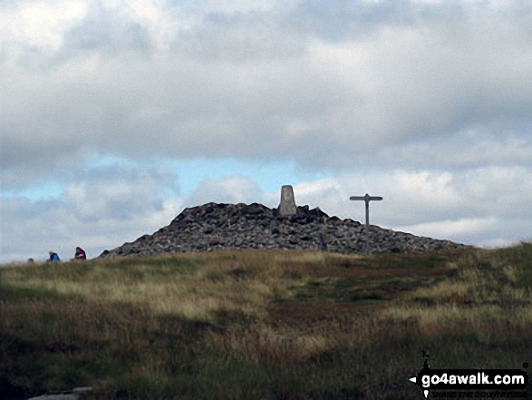
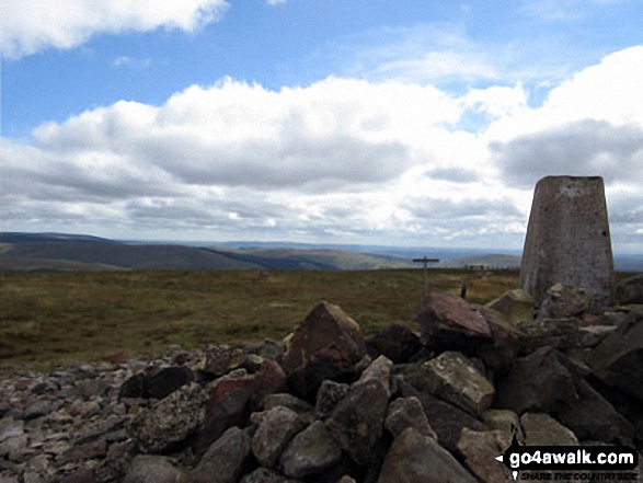
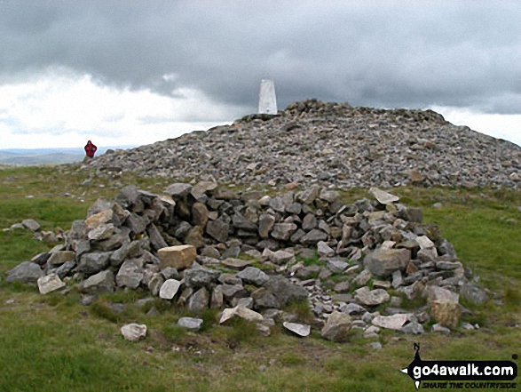
The highest point of this walk is Windy Gyle at 619m (2031ft). Windy Gyle is classified as a Donald (No. 85) and an English Mountain (Hewitt) (169th highest in England, 296th highest in England & Wales). Windy Gyle is also known as an English Nuttall (236th highest in England, 411th highest in England & Wales). Since Windy Gyle lies on the border between England & Scotland it has the distinction of being classified as an Scottish Donald, an English Mountain (Hewitt) and an English Nuttall. The summit of Windy Gyle is marked by an Ordnance Survey Trig Point & a huge cairn (on the Scottish side of the border). Since Windy Gyle lies on the border between England & Scotland it has the distinction of being classified as an English Mountain (Hewitt), an English Nuttall and a Scottish Donald.
National Trails & Long Paths included on this walk:
Part of this walk follows a section of The Pennine Way, a 404km (251 miles) linear footpath connecting Edale in Derbyshire, England with Kirk Yetholm in The Borders, Scotland. The Pennine Way is waymarked by a National Trail Acorn. For more walks that include a section of this trail see The Pennine Way.
You can find more walks near this one on these unique free-to-access Interactive Walk Planning Maps: (click/TAP to select)
1:25,000 scale OS Explorer Map (the ones with orange/yellow covers):
1:50,000 scale OS Landranger Map (the ones with pink/magenta covers):
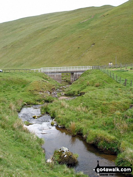
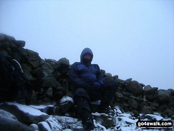
Some Photos and Pictures from Walk n128 Windy Gyle from Wedder Leap, Barrowburn
In no particular order . . .
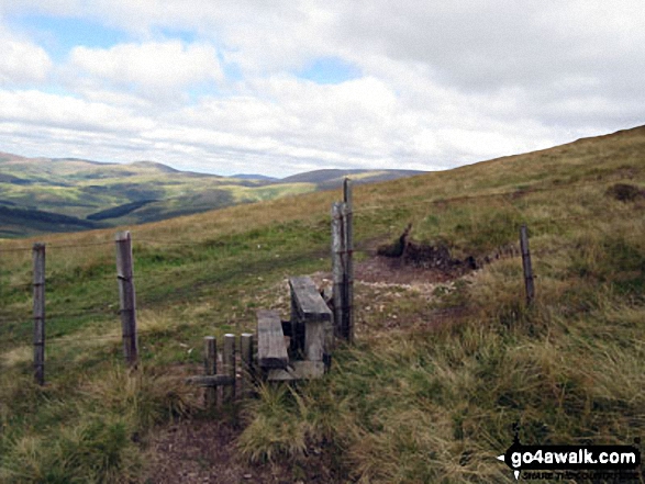
Stile over the border fence between England and Scotland on the way to Windy Gyle
Send us your photographs and pictures from your walks and hikes
We would love to see your photographs and pictures from walk n128 Windy Gyle from Wedder Leap, Barrowburn. Send them in to us as email attachments (configured for any computer) along with your name and where the picture was taken to:
and we shall do our best to publish them.
(Guide Resolution = 300dpi. At least = 660 pixels (wide) x 440 pixels (high).)

You can also submit photos from walk n128 Windy Gyle from Wedder Leap, Barrowburn via our Facebook Page.
NB. Please indicate where each photo was taken.

To contribute to go4awalk.com or to contact us about anything at all - see Talk To Us. For help see Help.
go4awalk.com and go4awalk.co.uk are registered trademarks of TMDH Limited.
Copyright © 2000-2024 TMDH Limited. All rights reserved.
Copyright | Terms & Conditions | Privacy Statement
A - Z
Walks
Home
Log On/Accounts
Photo Gallery
Walk Ideas and Collections
Fell Facts
Places to Stay
Hill Skills
Walking Questions and Answers
Your Stories
News
Competitions
Product Reviews/Gear Tests
Walking Gear Guides
Peaks and Mountains
Peak Bagging
Find New Walking Friends
Camping
GPS Waypoints for Walking
Walk Search
Talk to us
go4awalk.com Help
Free example walks
Newsletter


