Walk ha111 Cheesefoot Down from Winchester

The start of The South Downs Way


Route outline for walk ha111:

Winchester  -  Tun Bridge  -  The Itchen Way  -  Itchen Navigation  -  St Catherine's Hill  -  Pilgrims' Trail  -  Twyford Down  -  Morestead Down  -  Hydes Cottages  -  Fawley Down  -  The Allan King's Way  -  Cheesefoot Head Car Park  -  Cheesefoot Head (Matterley Bowl)  -  The South Downs Way  -  The Pilgrim's Way  -  Telegraph Hill  -  Little Golders  -  Chilcomb  -  Highcliffe  -  The Soke  -  City Mill  -  Wharf Bridge  -  Tun Bridge  -  Winchester


Peaks, Summits and Tops reached on this walk:

hewitt
0
English
Mountains
Wainwright
0
Wainwrights
 English Nuttalls
0
English
Nuttalls
Dewey
0
English
Deweys
Wainwright Outlying Fell
0
Wainwright
Outlying Fells
marilyn
0
Marilyns
Bridget
1
Bridget

Peak Bagging Statistics for this walk:

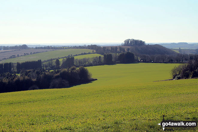
The highest point of this walk is Cheesefoot Head (Matterley Bowl) at 176m (577ft). Cheesefoot Head (Matterley Bowl) is known as an English Bridget. The summit of Cheesefoot Head (Matterley Bowl) is marked by an Ordnance Survey Trig Point. The natural amphitheatre on Cheesefoot Hill (also know as Matterley Bowl) was used by General Eisenhower to address US troops prior to The WW2 D-Day Landings & various boxing matches (including a Joe Louis bout). More recently it has been a regular site for the appearance of crop circles!

National Trails & Long Paths included on this walk:

Part of this walk follows a section of The Allan King's Way, a 68km (42 miles) linear footpath connecting Porchester in Hampshire, with Winchester in Hampshire, England. The Allan King's Way is waymarked by named posts. For more walks that include a section of this trail see The Allan King's Way.


Part of this walk also follows a section of The Itchen Way, a 50km (31 miles) linear footpath connecting Sholing Station, Southampton in Hampshire, with Hinton Ampner in Hampshire, England. The Itchen Way is waymarked by named posts. For more walks that include a section of this trail see The Itchen Way.


Part of this walk also follows a section of The Pilgrim's Way, a 214km (133 miles) linear footpath connecting Winchester in Hampshire, with Canterbury in Kent, England. The Pilgrim's Way is waymarked by named posts. For more walks that include a section of this trail see The Pilgrim's Way.


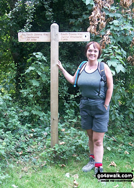
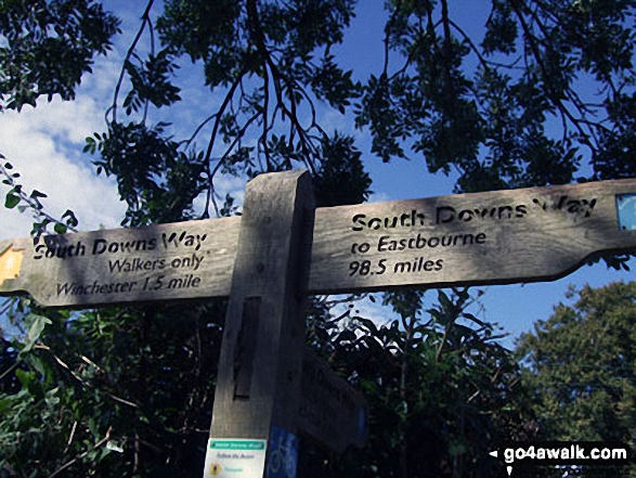
Part of this walk also follows a section of The South Downs Way, a 162km (101 miles) linear footpath connecting Eastbourne (Holywell) in East Sussex, England with Winchester in Hampshire, England. The South Downs Way is waymarked by a National Trail acorn. For more walks that include a section of this trail see The South Downs Way.


You can find more walks near this one on these unique free-to-access Interactive Walk Planning Maps: (click/TAP to select)


1:25,000 scale OS Explorer Map (the ones with orange/yellow covers):

OL32 Winchester


1:50,000 scale OS Landranger Map (the ones with pink/magenta covers):

185 Winchester & Basingstoke, Andover & Romsey


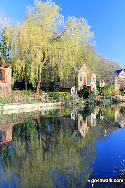
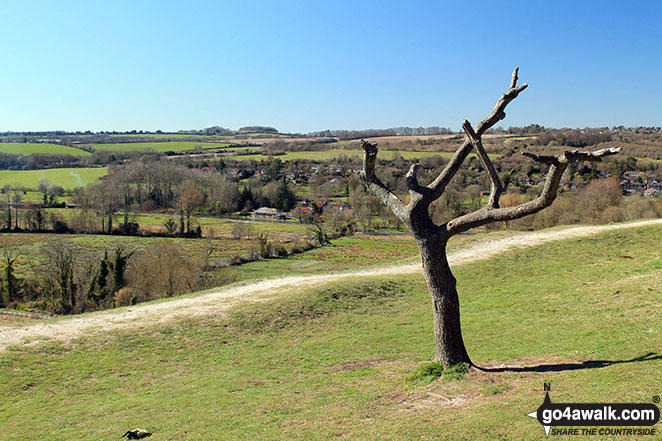
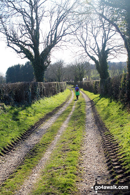
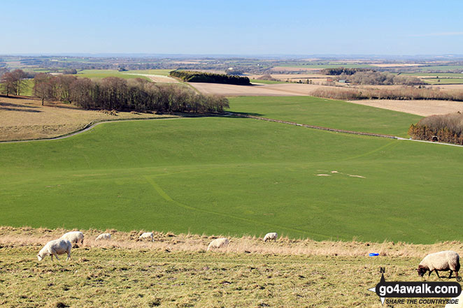
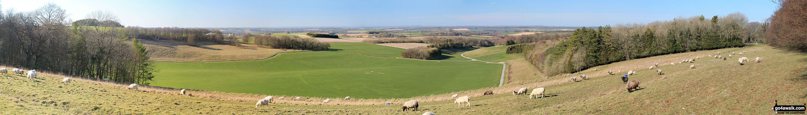
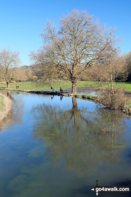
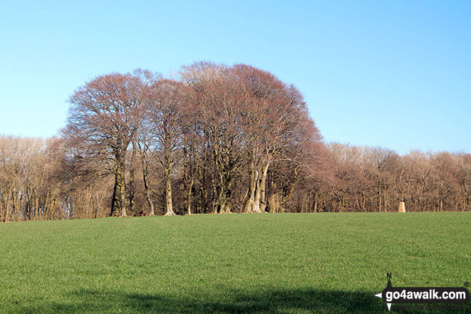
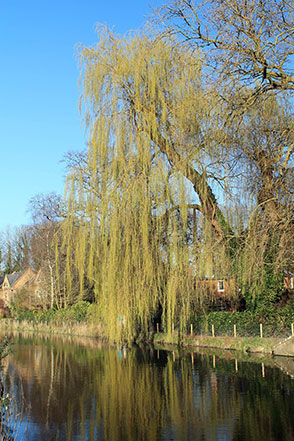
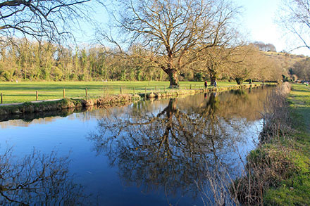
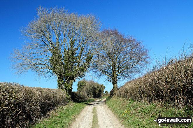
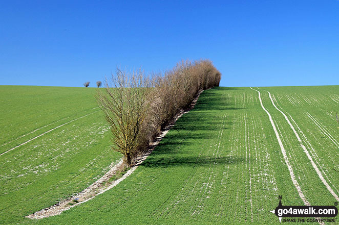
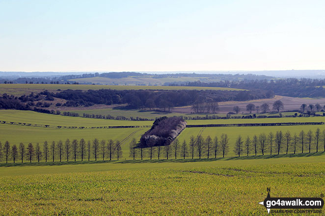
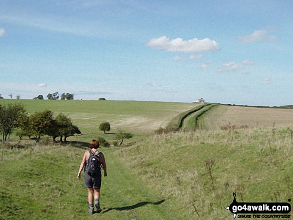
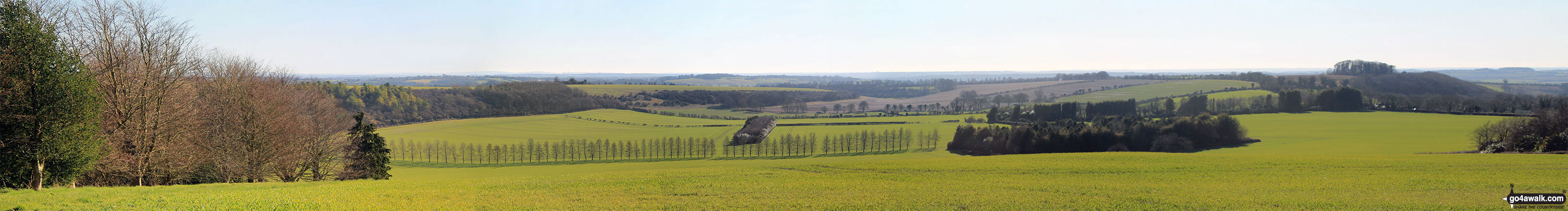
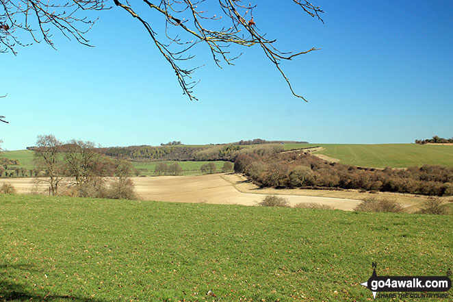
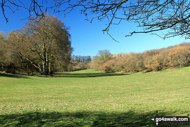
Some Photos and Pictures from Walk ha111 Cheesefoot Down from Winchester

In no particular order . . .

Walk ha111 Cheesefoot Down from Winchester - The Itchen Navigation in Winchester

The Itchen Navigation in Winchester

Photo: Peter Nocholson (21)

Walk ha111 Cheesefoot Down from Winchester - The view from  St Catherine's Hill

The view from St Catherine's Hill

Photo: Peter Nocholson (3)

Walk ha111 Cheesefoot Down from Winchester - The South Downs Way near Chilcomb

The South Downs Way near Chilcomb

Photo: Peter Nocholson (20)

Walk ha111 Cheesefoot Down from Winchester - The view from Cheesefoot Head (Matterley Bowl)

The view from Cheesefoot Head (Matterley Bowl)

Photo: Peter Nocholson (14)

Walk ha111 Cheesefoot Down from Winchester - Panoramic view from Cheesefoot Head (Matterley Bowl)

Panoramic view from Cheesefoot Head (Matterley Bowl)

Photo: Peter Nocholson (15)

Walk ha111 Cheesefoot Down from Winchester - The Itchen Navigation

The Itchen Navigation

Photo: Peter Nocholson (1)

Walk ha111 Cheesefoot Down from Winchester - Cheesefoot Head (Matterley Bowl)

Cheesefoot Head (Matterley Bowl)

Photo: Peter Nocholson (12)

Walk ha111 Cheesefoot Down from Winchester - The Itchen Navigation near Winchester

The Itchen Navigation near Winchester

Photo: Peter Nocholson (23)

Walk ha111 Cheesefoot Down from Winchester - Deacon Hill from Telegraph Hill

Deacon Hill from Telegraph Hill

Photo: Peter Nocholson (19)

Walk ha111 Cheesefoot Down from Winchester - The Itchen Navigation near Winchester

The Itchen Navigation near Winchester

Photo: Peter Nocholson (24)

Walk ha111 Cheesefoot Down from Winchester - Fawley Lane (Track) on Fawley Down

Fawley Lane (Track) on Fawley Down

Photo: Peter Nocholson (10)

Walk ha111 Cheesefoot Down from Winchester - On The South Downs Way - One mile from the end nr Winchester

On The South Downs Way - One mile from the end nr Winchester

Photo: Kevan Wilkinson (14)

Walk ha111 Cheesefoot Down from Winchester - On the South Downs Way near Chilcomb

On the South Downs Way near Chilcomb

Photo: Steve Richardson (5)

Walk ha111 Cheesefoot Down from Winchester - Twyford Down

Twyford Down

Photo: Peter Nocholson (6)

Walk ha111 Cheesefoot Down from Winchester - Fawley Down from Telegraph Hill

Fawley Down from Telegraph Hill

Photo: Peter Nocholson (17)

Walk ha111 Cheesefoot Down from Winchester - On The South Downs Way - Gander Down nr Winchester

On The South Downs Way - Gander Down nr Winchester

Photo: Kevan Wilkinson (13)

Walk ha111 Cheesefoot Down from Winchester - Panoramic view of Fawley Down from Telegraph Hill

Panoramic view of Fawley Down from Telegraph Hill

Photo: Peter Nocholson (18)

Walk ha111 Cheesefoot Down from Winchester - Deacon Hill from Twyford Down

Deacon Hill from Twyford Down

Photo: Peter Nocholson (7)

Walk ha111 Cheesefoot Down from Winchester - Morestead Down

Morestead Down

Photo: Peter Nocholson (9)

Walk ha111 Cheesefoot Down from Winchester - On the Pilgrims' Trail up Twyford Down

On the Pilgrims' Trail up Twyford Down

Photo: Peter Nocholson (4)


Send us your photographs and pictures from your walks and hikes

We would love to see your photographs and pictures from walk ha111 Cheesefoot Down from Winchester. Send them in to us as email attachments (configured for any computer) along with your name and where the picture was taken to:

and we shall do our best to publish them.

(Guide Resolution = 300dpi. At least = 660 pixels (wide) x 440 pixels (high).)

Send us your walking and hiking photographs and pictures from walk ha111 Cheesefoot Down from Winchester via Facebook

You can also submit photos from walk ha111 Cheesefoot Down from Winchester via our Facebook Page.

NB. Please indicate where each photo was taken.


Do not miss our pick of the Best Walks in the UK


Follow go4awalk.com on Twitter Follow go4awalk.com on Facebook


Find new Friends to go walking with

Walk all 214 Wainwrights in just 59 Walks. Download GPS Waypoints - Great Walks you must not miss!

Walk The Yorkshire Three Peaks Challenge Walk - All the Latest Route Information, GPS Waypoints and Split Times to keep you on Schedule

Walk The British Three Peaks Challenge Walk - All the Latest Route Information and GPS Waypoints

See our pick of The Best Walks in The Lake District - Great Walks you must not miss!

Walk our pick of the Best Lake District Ridge Walks - Great Walks you must not miss!

Walk our pick of the Best Lake District Walks to do in the rain - Great Walks you must not miss!

Walk our pick of The Best Walks in Snowdonia - Great Walks you must not miss!

Walk our pick of The Best Ridge Walks in Wales - Walks you must not miss!

Walk our pick of The Best Walks in The Brecon Beacons - Great Walks you must not miss!

Walk our pick of The Best Walks in The Yorkshire Dales - Walks you must not miss!

Walk our pick of The Best Walks in The Peak District - Walks you must not miss!

Walk our pick of The Best Walks in The Forest of Bowland - Walks you must not miss!

Walk our pick of The Best Walks in Shropshire - Walks you must not miss!

Walk our pick of The Best Walks in Cheshire - Walks you must not miss!

Walk our pick of The Best Walks in Lancashire - Walks you must not miss!

Not sure where to walk next? Try Peak Bagging - Great Walks you must not miss!

Not sure where to walk next? Walk part of a National Trail - Great Walks you must not miss!

Walks with Downloadable and Uploadable GPS Waypoint Data

Walking Kit and Gear Tested by Walkers

Full Site Search