   |
Vital Statistics:
| Length: | 6mls (9.5km) |
| Ascent: | 236ft (72m) |
| Time: | 2½hrs |
| Grade: |  |

Route outline for walk gm101:
Dunham Town - The Bridgewater Canal - The Cheshire Ring Canal Walk - Agden Bridge - Agden Brook Farm - Arthill Farm - Reddy Lane Cottage - Little Bollington - Dunham Massey Park - Dunham Park - Dunham Town
National Trails & Long Paths included on this walk:
Part of this walk follows a section of The Cheshire Ring Canal Walk, a 158km (98 miles) circular footpath starting and finishing in Marple in Greater Manchester, England.
The canals that form the Cheshire Ring Canal Walk are (anticlockwise from Marple): The Peak Forest Canal, The Ashton and Rochdale Canals to Castlefield, Manchester, The Bridgewater Canal to Preston Brook, The Trent and Mersey Canal to Hardings Wood Junction near Kidsgrove and The Macclesfield Canal back to Marple.
The Cheshire Ring Canal Walk is waymarked by a bridge & barge motif. For more walks that include a section of this trail see The Cheshire Ring Canal Walk.You can find this walk and other nearby walks on these unique free-to-access Interactive Walk Planning Maps:
1:25,000 scale OS Explorer Map (orange/yellow covers):
1:50,000 scale OS Landranger Map (pink/magenta covers):
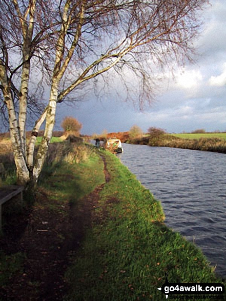
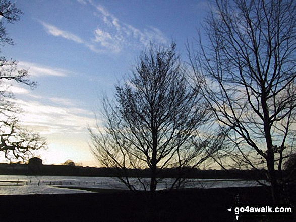
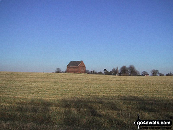
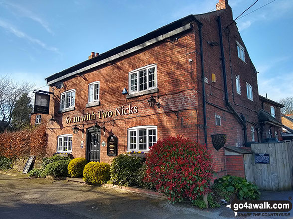
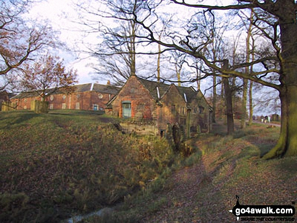
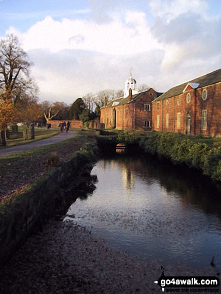
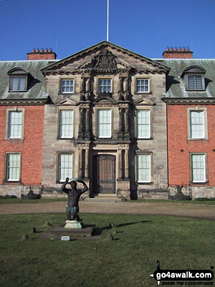
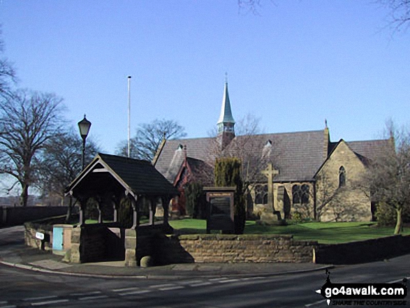
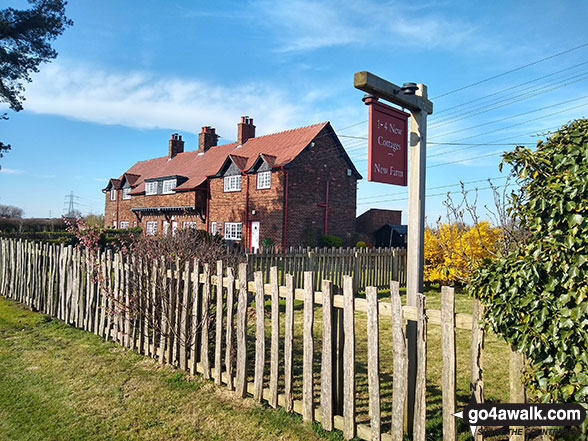
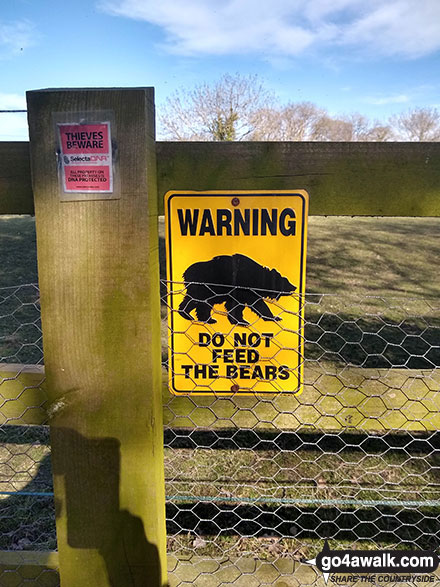
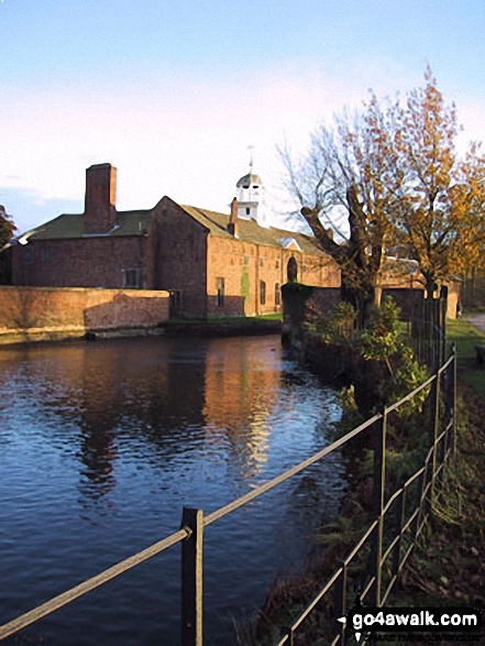
Some Photos and Pictures from Walk gm101 The Bridgewater Canal from Dunham Town
In no particular order . . .


. . . load all 22 walk photos from Walk gm101 The Bridgewater Canal from Dunham Town
Send us your photographs and pictures from your walks and hikes
We would love to see your photographs and pictures from walk gm101 The Bridgewater Canal from Dunham Town. Send them in to us as email attachments (configured for any computer) along with your name and where the picture was taken to:
and we shall do our best to publish them.
(Guide Resolution = 300dpi. At least = 660 pixels (wide) x 440 pixels (high).)

You can also submit photos from walk gm101 The Bridgewater Canal from Dunham Town via our Facebook Page.
NB. Please indicate where each photo was taken.


