   |
Vital Statistics:
| Length: | 3¼mls (5km) |
| Ascent: | 968ft (295m) |
| Time: | 2¼hrs |
| Grade: |  |
Route outline for walk c379:
Buttermere - Buttermere Hause - Rannerdale Knotts - Low Bank - Buttermere
Peaks, Summits and Tops reached on this walk:
 0 English Mountains |
 1 Wainwright |
 0 English Nuttalls |
 0 English Deweys |
 0 Wainwright Outlying Fells |
 0 Marilyns |
 0 Bridgets |
Peak Bagging Statistics for this walk:
The highest point of this walk is Rannerdale Knotts at 355m (1165ft). Rannerdale Knotts is classified as an Wainwright (No. 210).
You can find this walk and other nearby walks on these unique free-to-access Interactive Walk Planning Maps:
1:25,000 scale OS Explorer Map (orange/yellow covers):
1:50,000 scale OS Landranger Map (pink/magenta covers):
Some Photos and Pictures from Walk c379 Rannerdale Knotts from Buttermere
In no particular order . . .
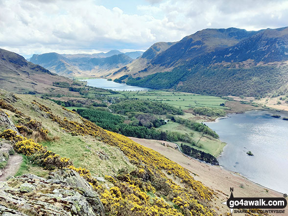
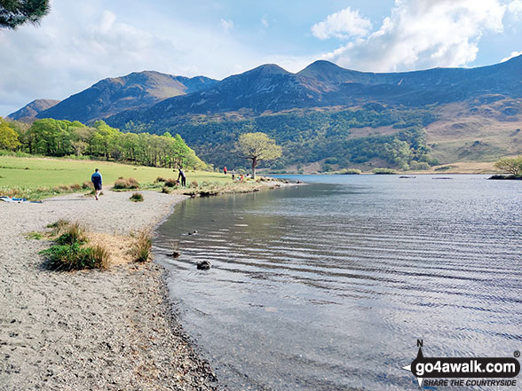
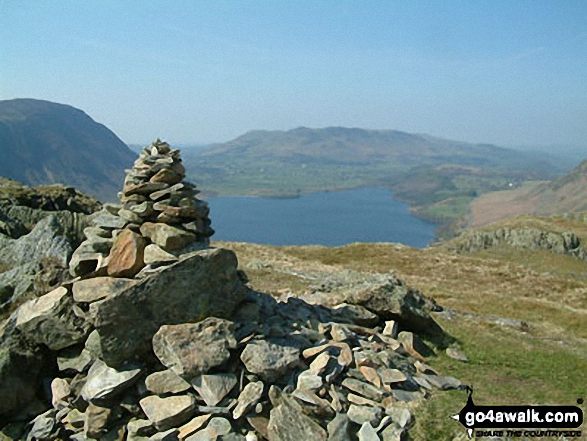
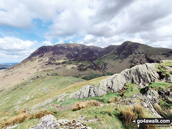
Fleetwith Pike and Haystacks at the end of Buttermere, with the Buttermere Fells - High Crag, High Stile and Red Pike (Buttermere) - from Rannerdale Knotts
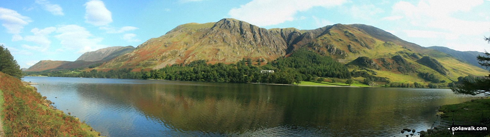
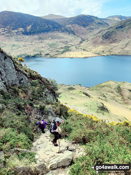
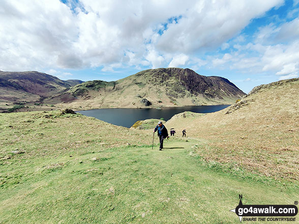
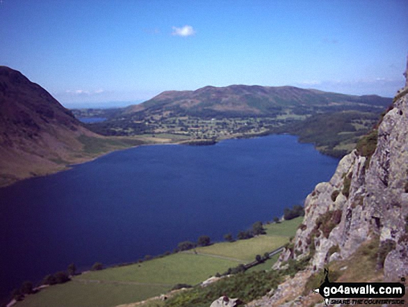
Tackling the steep bit up Rannerdale Knotts with Starling Dodd across Crummock Water in the background
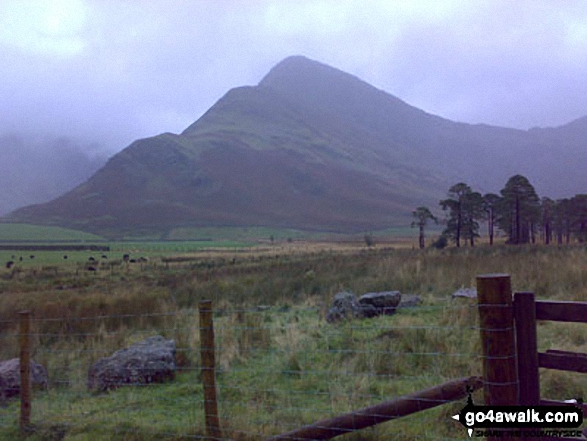
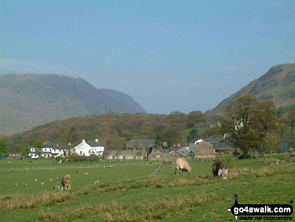


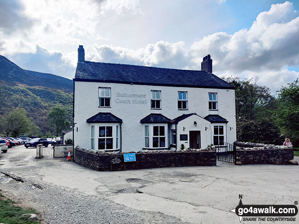
Fleetwith Pike and Hay Stacks (Haystacks) from the campsite near Buttermere village
. . . load all 88 walk photos from Walk c379 Rannerdale Knotts from Buttermere
Send us your photographs and pictures from your walks and hikes
We would love to see your photographs and pictures from walk c379 Rannerdale Knotts from Buttermere. Send them in to us as email attachments (configured for any computer) along with your name and where the picture was taken to:
and we shall do our best to publish them.
(Guide Resolution = 300dpi. At least = 660 pixels (wide) x 440 pixels (high).)

You can also submit photos from walk c379 Rannerdale Knotts from Buttermere via our Facebook Page.
NB. Please indicate where each photo was taken.


