   |
Vital Statistics:
| Length: | 10mls (16km) |
| Ascent: | 2,635ft (803m) |
| Time: | 6¼hrs |
| Grade: |  |
Route outline for walk c218:
Dob Gill Car Park (Thirlmere) - Harrop Tarn - Standing Crag - Ullscarf - Greenup Edge - Low White Stones - High Raise (Langdale) - Sergeant Man - Codale Head - Broadstone Head - Mere Beck - Brownrigg Moss - Calf Crag - Wyth Burn - Stockhow Bridge - Thirlmere
Peaks, Summits and Tops reached on this walk:
 2 English Mountains |
 4 Wainwrights |
 3 English Nuttalls |
 1 English Dewey |
 0 Wainwright Outlying Fells |
 1 Marilyn |
 1 Bridget |
Peak Bagging Statistics for this walk:
The highest point of this walk is High Raise (Langdale) at 762m (2501ft). High Raise (Langdale) is classified as an English Mountain (Hewitt) (65th highest in England, 111th highest in England & Wales) and a Wainwright (No. 57).
High Raise (Langdale) is also known as an English Nuttall (79th highest in England, 135th highest in England & Wales) and an English Marilyn (20th highest in England, 467th highest in the UK).
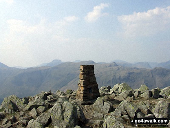
The summit of High Raise (Langdale) is marked by an Ordnance Survey Trig Point.
Completing this walk will also take you to the top of Sergeant Man at 736m (2416ft). Sergeant Man is classified as an Wainwright (No. 69).
You will also reach the summit of Low White Stones at 733m (2406ft). Low White Stones is known as an English Bridget.
Along the way you will also bag:
- Codale Head at 732m (2402ft). Codale Head is known as an English Nuttall (100th highest in England, 171st highest in England & Wales).
- Ullscarf at 723m (2372ft). Ullscarf is classified as an English Mountain (Hewitt) (84th highest in England, 145th highest in England & Wales), a Wainwright (No. 74) and an English Nuttall (106th highest in England, 180th highest in England & Wales).
- Calf Crag at 537m (1762ft). Calf Crag is classified as a Wainwright (No. 155) and an English Dewey (99th highest in England, 230th highest in England & Wales)
You can find more walks near this one on these unique free-to-access Interactive Walk Planning Maps: (click/TAP to select)
1:25,000 scale OS Explorer Maps (the ones with orange/yellow covers):
1:50,000 scale OS Landranger Map (the ones with pink/magenta covers):
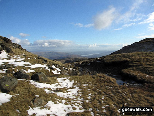
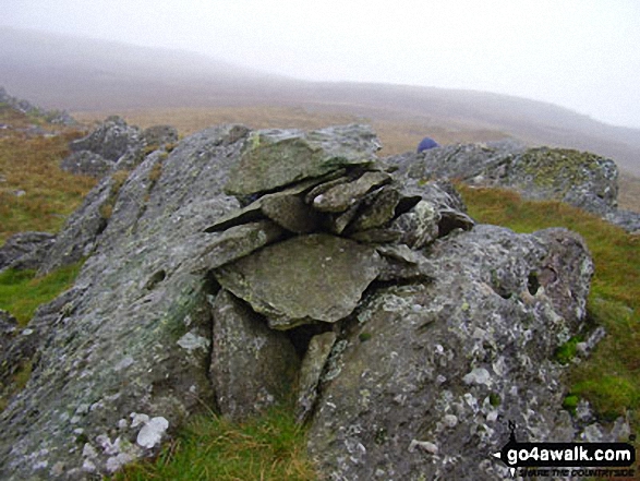
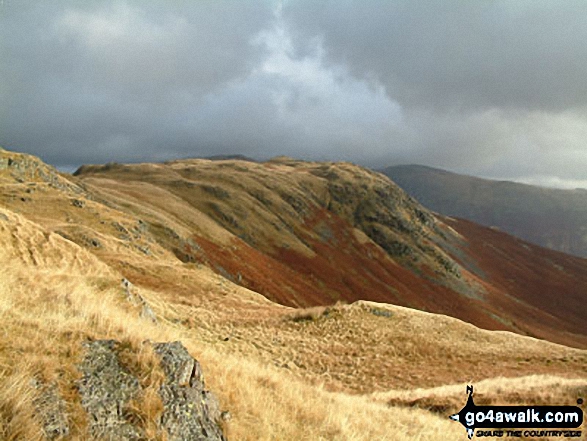
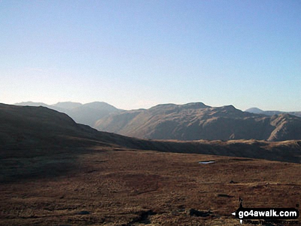
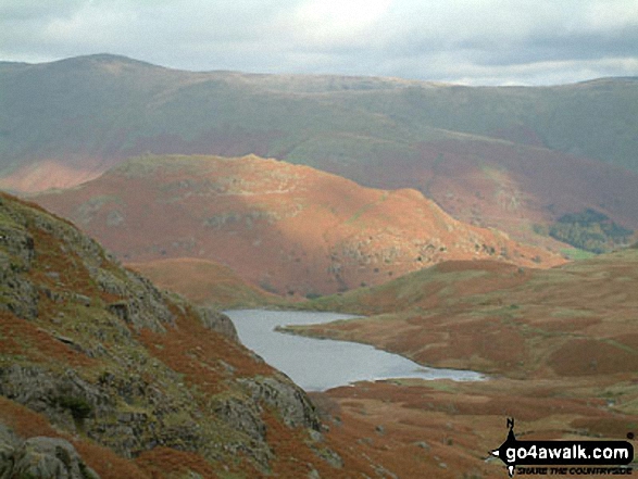
Some Photos and Pictures from Walk c218 Ullscarf and High Raise from Thirlmere
In no particular order . . .
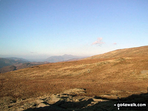
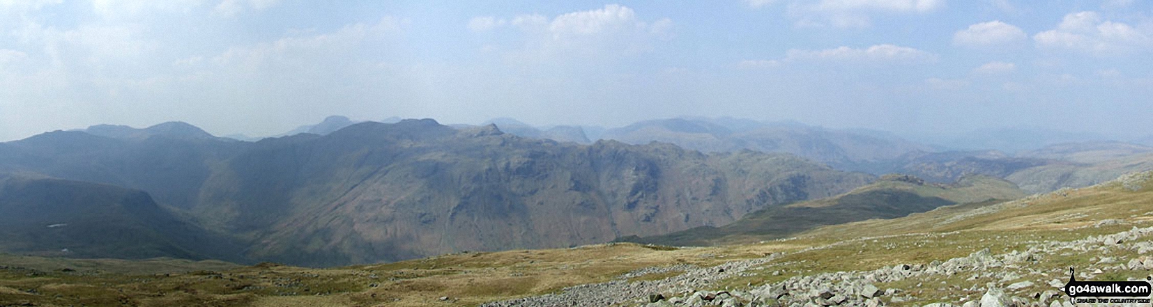
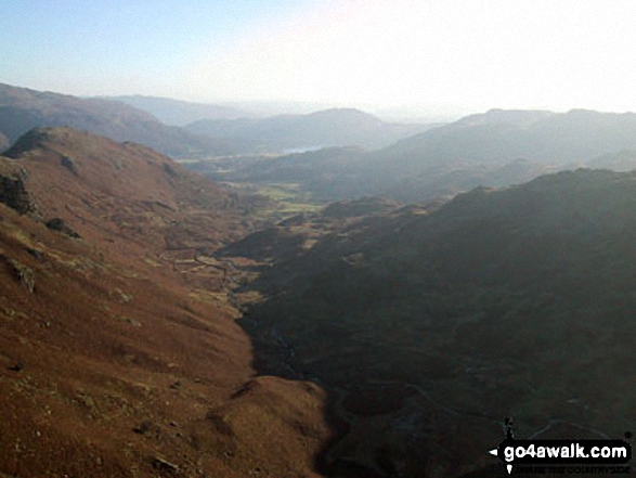
*Scafell Pike (far left back) and The Borrowdale Fells featuring Allen Crags, High House Tarn Top, Red Beck Top, Looking Stead, Glaramara, Comb Head, Comb Door Top, Dovenest Top and Rosthwaite Fell (Bessyboot) from High Raise (Langdale)
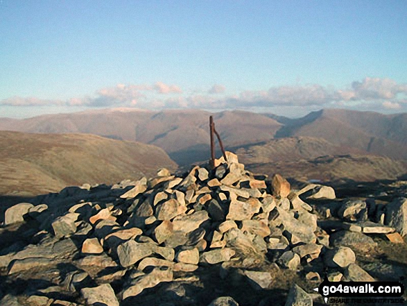
The Langdale Pikes with Wetherlam and Swirl How in the distance from Sergeant Man summit
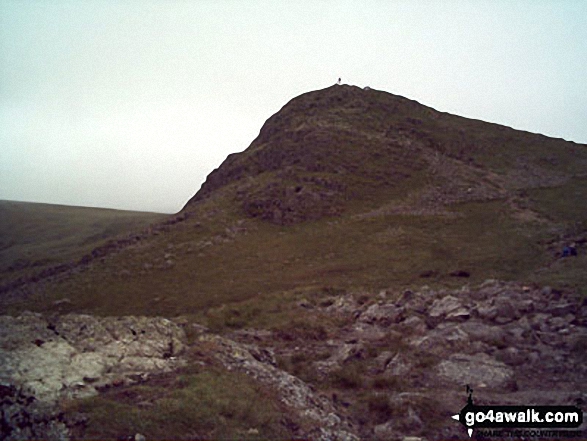
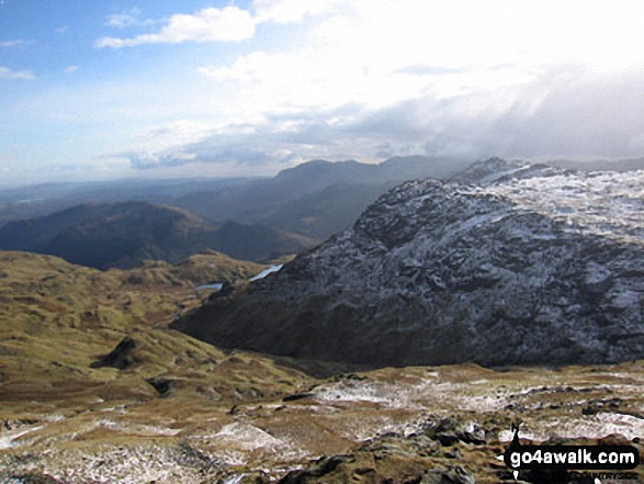
The Far Easdale Valley with Helm Crag (left) and Loughrigg (centre distance) from Brownrigg Moss
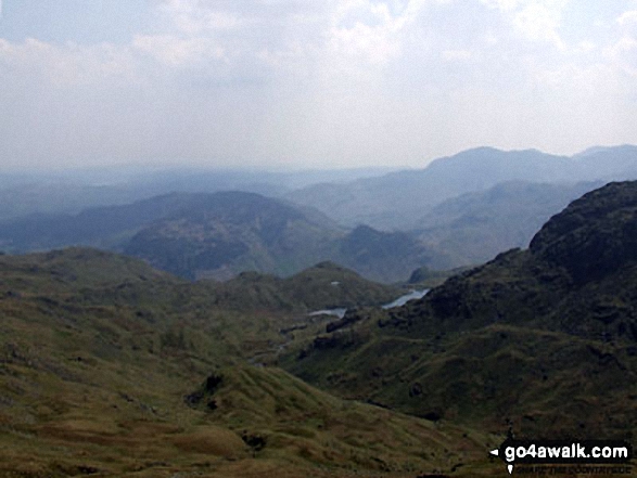
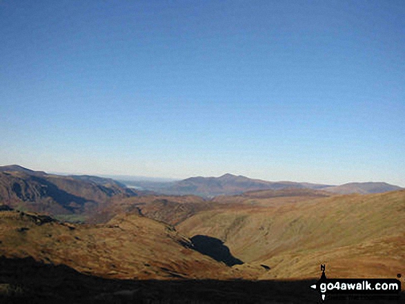
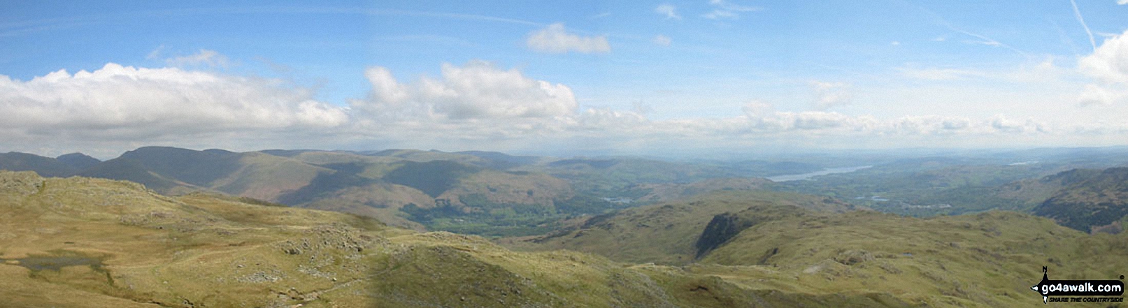
The view from Sergeant Man featuring Blea Rigg (centre left),Lingmoor Fell (distance centre), Stickle Tarn (partially hidden) and the shoulder of Pavey Ark (The Langdale Pikes) (right)
. . . load all 63 walk photos from Walk c218 Ullscarf and High Raise from Thirlmere
Send us your photographs and pictures from your walks and hikes
We would love to see your photographs and pictures from walk c218 Ullscarf and High Raise from Thirlmere. Send them in to us as email attachments (configured for any computer) along with your name and where the picture was taken to:
and we shall do our best to publish them.
(Guide Resolution = 300dpi. At least = 660 pixels (wide) x 440 pixels (high).)

You can also submit photos from walk c218 Ullscarf and High Raise from Thirlmere via our Facebook Page.
NB. Please indicate where each photo was taken.

To contribute to go4awalk.com or to contact us about anything at all - see Talk To Us. For help see Help.
go4awalk.com and go4awalk.co.uk are registered trademarks of TMDH Limited.
Copyright © 2000-2024 TMDH Limited. All rights reserved.
Copyright | Terms & Conditions | Privacy Statement
A - Z
Walks
Home
Log On/Accounts
Photo Gallery
Walk Ideas and Collections
Fell Facts
Places to Stay
Hill Skills
Walking Questions and Answers
Your Stories
News
Competitions
Product Reviews/Gear Tests
Walking Gear Guides
Peaks and Mountains
Peak Bagging
Find New Walking Friends
Camping
GPS Waypoints for Walking
Walk Search
Talk to us
go4awalk.com Help
Free example walks
Newsletter


