The 30 nearest, easy-to-follow, circular walks, routes & maps to UK Postcode TS14

The thirty nearest, easy-to-follow, circular walks, routes & maps to UK Postcode TS14 in Walk Grade Order


Not familiar with the area around TS14?

See these 30 nearest walks to UK Postcode TS14 on a google map


Walk 1 Walking Bootprint Icon

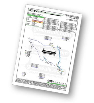
Walk ny201 Rudland Rigg and Farndale Nature Reserve from Low Mill

Fine views and a delightful river side stroll

Download GPS Waypoint Data for walk ny201
Download GPX Waypoint Data for walk ny201
Download Map and Route Details for walk ny201

Vital Statistics:

Length:6.5 miles (10.5 km)
Ascent:932ft (284m)
Time:3.25hrs
Grade:Grade 4 Walking Moderate
Walk 2 Walking Bootprint Icon

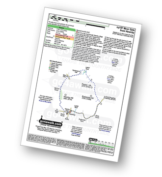
Walk ny107 Moor Gate from Hawnby

Pleasant country stroll

Download GPS Waypoint Data for walk ny107
Download GPX Waypoint Data for walk ny107
Download Map and Route Details for walk ny107

Vital Statistics:

Length:5 miles (8 km)
Ascent:689ft (210m)
Time:2½ hrs
Grade:Grade 3 Walking Easy
Walk 3 Walking Bootprint Icon

Walk ny222 Ana Cross and Appleton-le-Moor from Hutton-le-Hole

An ancient cross and lovely villages

Download GPS Waypoint Data for walk ny222
Download GPX Waypoint Data for walk ny222
Download Map and Route Details for walk ny222

Vital Statistics:

Length:12.75 miles (20.5 km)
Ascent:1,056ft (322m)
Time:5.75hrs
Grade:Grade 5 Walking Moderate
Walk 4 Walking Bootprint Icon

Walk ny139 Lastingham from Hutton-le-Hole

Two lovely villages with fine views in between

Download GPS Waypoint Data for walk ny139
Download GPX Waypoint Data for walk ny139
Download Map and Route Details for walk ny139

Vital Statistics:

Length:4.5 miles (7 km)
Ascent:623ft (190m)
Time:2.25hrs
Grade:Grade 3 Walking Easy
Walk 5 Walking Bootprint Icon

Walk ny277 Ana Cross from Hutton-le-Hole

An ancient cross & two lovely villages

Download GPS Waypoint Data for walk ny277
Download GPX Waypoint Data for walk ny277
Download Map and Route Details for walk ny277

Vital Statistics:

Length:8.5 miles (13.5 km)
Ascent:1,089ft (332m)
Time:4 hrs
Grade:Grade 4 Walking Moderate
Walk 6 Walking Bootprint Icon

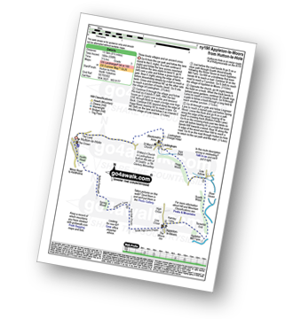
Walk ny190 Appleton-le-Moors from Hutton-le-Hole

Three lovely villages and an ancient cross.

Download GPS Waypoint Data for walk ny190
Download GPX Waypoint Data for walk ny190
Download Map and Route Details for walk ny190

Vital Statistics:

Length:8.75 miles (14 km)
Ascent:590ft (180m)
Time:3.75hrs
Grade:Grade 4 Walking Moderate
Walk 7 Walking Bootprint Icon

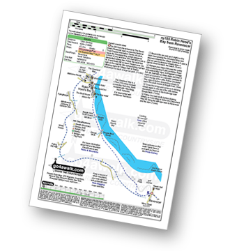
Walk ny155 Ravenscar from Robin Hood's Bay

Superb coastal views

Download GPS Waypoint Data for walk ny155
Download GPX Waypoint Data for walk ny155
Download Map and Route Details for walk ny155

Vital Statistics:

Length:8.75 miles (14 km)
Ascent:1,398ft (426m)
Time:4½ hrs
Grade:Grade 5 Walking Moderate
Walk 8 Walking Bootprint Icon

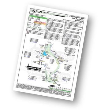
Walk ny105 Whitestone Cliff from The Kilburn White Horse

Fine views over the Vale of Mowbray

Download GPS Waypoint Data for walk ny105
Download GPX Waypoint Data for walk ny105
Download Map and Route Details for walk ny105

Vital Statistics:

Length:6.25 miles (10 km)
Ascent:1,355ft (413m)
Time:3.75hrs
Grade:Grade 4 Walking Moderate
Walk 9 Walking Bootprint Icon

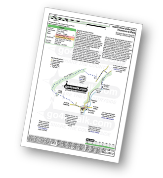
Walk ny242 Howl Dale from Thornton-le-Dale

Delightful woodland walking

Download GPS Waypoint Data for walk ny242
Download GPX Waypoint Data for walk ny242
Download Map and Route Details for walk ny242

Vital Statistics:

Length:5.25 miles (8.5 km)
Ascent:380ft (116m)
Time:2.25hrs
Grade:Grade 2 Walking Easy
Walk 10 Walking Bootprint Icon

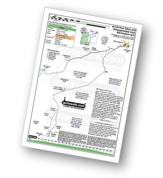
Walk du124 How Tallon and The Stang from Barningham

Long, wild walk on mainly good paths

Download GPS Waypoint Data for walk du124
Download GPX Waypoint Data for walk du124
Download Map and Route Details for walk du124

Vital Statistics:

Length:17.5 miles (28 km)
Ascent:1,591ft (485m)
Time:7.75hrs
Grade:Grade 7 Walking Hard
Walk 11 Walking Bootprint Icon

Walk du104 Elephant Trees from Wolsingham

Superb views across Weardale

Download GPS Waypoint Data for walk du104
Download GPX Waypoint Data for walk du104
Download Map and Route Details for walk du104

Vital Statistics:

Length:10.5 miles (17 km)
Ascent:853ft (260m)
Time:4½ hrs
Grade:Grade 4 Walking Moderate
Walk 12 Walking Bootprint Icon

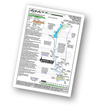
Walk du161 Wolsingham North Moor from Wolsingham

Gentle ascent across lonely moorland

Download GPS Waypoint Data for walk du161
Download GPX Waypoint Data for walk du161
Download Map and Route Details for walk du161

Vital Statistics:

Length:8.5 miles (13.5 km)
Ascent:1,093ft (333m)
Time:4.25hrs
Grade:Grade 4 Walking Moderate
Walk 13 Walking Bootprint Icon

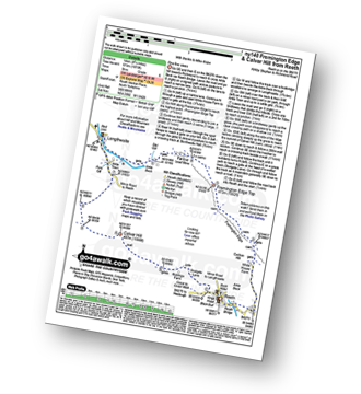
Walk ny140 Fremington Edge and Calver Hill from Reeth

Fine fine views

Download GPS Waypoint Data for walk ny140
Download GPX Waypoint Data for walk ny140
Download Map and Route Details for walk ny140

Vital Statistics:

Length:8.75 miles (14 km)
Ascent:1,870ft (570m)
Time:5 hrs
Grade:Grade 6 Walking Moderate
Walk 14 Walking Bootprint Icon

Walk ny157 High Harker Hill and Greets Hill from Reeth

Fine views of Swaledale

Download GPS Waypoint Data for walk ny157
Download GPX Waypoint Data for walk ny157
Download Map and Route Details for walk ny157

Vital Statistics:

Length:12.75 miles (20.5 km)
Ascent:1,935ft (590m)
Time:6½ hrs
Grade:Grade 6 Walking Moderate
Walk 15 Walking Bootprint Icon

Walk ny174 Fremington Edge, Langthwaite and Arkengarthdale from Reeth

Fine views - though can be wet underfoot

Download GPS Waypoint Data for walk ny174
Download GPX Waypoint Data for walk ny174
Download Map and Route Details for walk ny174

Vital Statistics:

Length:9 miles (14.5 km)
Ascent:1,674ft (510m)
Time:5 hrs
Grade:Grade 5 Walking Moderate

Not familiar with the area around TS14?

See these 30 nearest walks to UK Postcode TS14 on a google map


Walk 16 Walking Bootprint Icon

Walk ny221 Fremington Edge and Arkengarthdale from Reeth

Fine views - though can be wet underfoot

Download GPS Waypoint Data for walk ny221
Download GPX Waypoint Data for walk ny221
Download Map and Route Details for walk ny221

Vital Statistics:

Length:7 miles (11 km)
Ascent:1,674ft (411m)
Time:4 hrs
Grade:Grade 5 Walking Moderate
Walk 17 Walking Bootprint Icon

Walk tw100 The River Tyne from Gateshead Millennium Bridge (Baltic Square)

Riverside stroll through history

Download GPS Waypoint Data for walk tw100
Download GPX Waypoint Data for walk tw100
Download Map and Route Details for walk tw100

Vital Statistics:

Length:5.5 miles (8.5 km)
Ascent:46ft (14m)
Time:2 hrs
Grade:Grade 1 Walking Easy
Walk 18 Walking Bootprint Icon

Walk du110 Collier Law from Frosterley

Wild moorland fine fine views

Download GPS Waypoint Data for walk du110
Download GPX Waypoint Data for walk du110
Download Map and Route Details for walk du110

Vital Statistics:

Length:11 miles (17 km)
Ascent:1,246ft (380m)
Time:5.25hrs
Grade:Grade 5 Walking Moderate
Walk 19 Walking Bootprint Icon

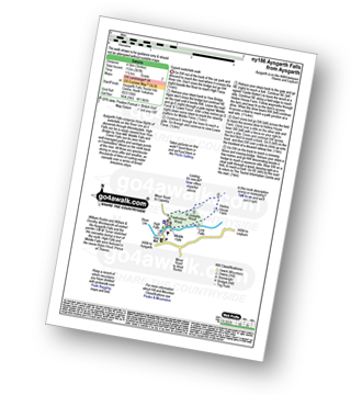
Walk ny186 Aysgarth Falls from Aysgarth

Superb waterfalls walk

Download GPS Waypoint Data for walk ny186
Download GPX Waypoint Data for walk ny186
Download Map and Route Details for walk ny186

Vital Statistics:

Length:3 miles (4.5 km)
Ascent:367ft (112m)
Time:1½ hrs
Grade:Grade 2 Walking Easy
Walk 20 Walking Bootprint Icon

Walk du118 Bolt's Law from Stanhope

Good views of Weardale

Download GPS Waypoint Data for walk du118
Download GPX Waypoint Data for walk du118
Download Map and Route Details for walk du118

Vital Statistics:

Length:14.5 miles (23 km)
Ascent:1,805ft (550m)
Time:7.25hrs
Grade:Grade 6 Walking Moderate
Walk 21 Walking Bootprint Icon

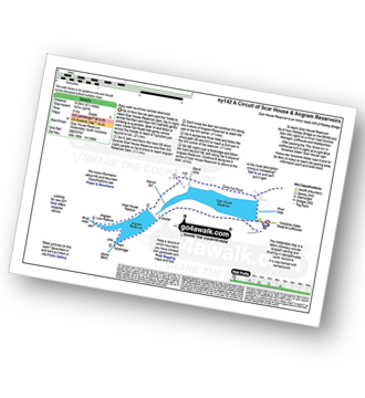
Walk ny142 A circuit of Angram and Scar House Reservoirs, Nidderdale

Easy walk round two remote reservoirs

Download GPS Waypoint Data for walk ny142
Download GPX Waypoint Data for walk ny142
Download Map and Route Details for walk ny142

Vital Statistics:

Length:6.5 miles (10.5 km)
Ascent:647ft (197m)
Time:3 hrs
Grade:Grade 3 Walking Easy
Walk 22 Walking Bootprint Icon

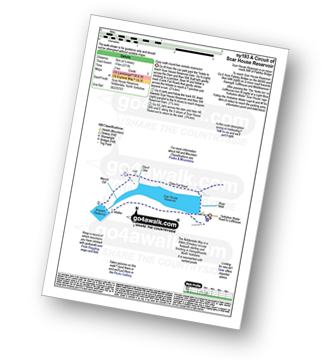
Walk ny193 A circuit of Scar House Reservoir, Nidderdale

Easy walk round a remote reservoir

Download GPS Waypoint Data for walk ny193
Download GPX Waypoint Data for walk ny193
Download Map and Route Details for walk ny193

Vital Statistics:

Length:4.75 miles (7.5 km)
Ascent:571ft (174m)
Time:2.25hrs
Grade:Grade 3 Walking Easy
Walk 23 Walking Bootprint Icon

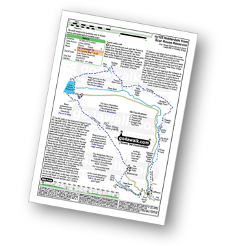
Walk ny125 Nidderdale from Scar House Reservoir, Nidderdale

Superb valley walk

Download GPS Waypoint Data for walk ny125
Download GPX Waypoint Data for walk ny125
Download Map and Route Details for walk ny125

Vital Statistics:

Length:10.75 miles (17 km)
Ascent:2,022ft (616m)
Time:6 hrs
Grade:Grade 6 Walking Moderate
Walk 24 Walking Bootprint Icon

Walk ny117 Little Whernside and Great Whernside from Scar House Reservoir, Nidderdale

Fine high level walk with good views

Download GPS Waypoint Data for walk ny117
Download GPX Waypoint Data for walk ny117
Download Map and Route Details for walk ny117

Vital Statistics:

Length:11.5 miles (18.5 km)
Ascent:1,913ft (583m)
Time:6.25hrs
Grade:Grade 6 Walking Moderate
Walk 25 Walking Bootprint Icon

Walk du136 Hardberry Hill from Middleton-in-Teesdale

Delightful river side stroll leading to fine views

Download GPS Waypoint Data for walk du136
Download GPX Waypoint Data for walk du136
Download Map and Route Details for walk du136

Vital Statistics:

Length:9 miles (14.5 km)
Ascent:1,730ft (527m)
Time:5 hrs
Grade:Grade 6 Walking Moderate
Walk 26 Walking Bootprint Icon

Walk du125 Lunedale from Middleton-in-Teesdale

Wonderfully contrasting country walk

Download GPS Waypoint Data for walk du125
Download GPX Waypoint Data for walk du125
Download Map and Route Details for walk du125

Vital Statistics:

Length:8.25 miles (13 km)
Ascent:1,172ft (357m)
Time:4.25hrs
Grade:Grade 5 Walking Moderate
Walk 27 Walking Bootprint Icon

Walk du137 Hannah's Meadow and Goldsborough from Balderhead Reservoir

Delightful hay meadow and valley walk

Download GPS Waypoint Data for walk du137
Download GPX Waypoint Data for walk du137
Download Map and Route Details for walk du137

Vital Statistics:

Length:7.75 miles (12.5 km)
Ascent:988ft (301m)
Time:4 hrs
Grade:Grade 4 Walking Moderate
Walk 28 Walking Bootprint Icon

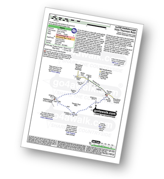
Walk ny208 Addlebrough from Thornton Rust

Superb views of lovely Wensleydale

Download GPS Waypoint Data for walk ny208
Download GPX Waypoint Data for walk ny208
Download Map and Route Details for walk ny208

Vital Statistics:

Length:4.5 miles (7 km)
Ascent:870ft (265m)
Time:2½ hrs
Grade:Grade 3 Walking Easy
Walk 29 Walking Bootprint Icon

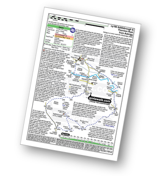
Walk ny160 Addlebrough and Thornton Rust from Askrigg, Wensleydale

Superb views of lovely Wensleydale

Download GPS Waypoint Data for walk ny160
Download GPX Waypoint Data for walk ny160
Download Map and Route Details for walk ny160

Vital Statistics:

Length:9.75 miles (15.5 km)
Ascent:1,388ft (423m)
Time:5 hrs
Grade:Grade 5 Walking Moderate
Walk 30 Walking Bootprint Icon

Walk ny114 Addlebrough via Worton Pasture from Askrigg, Wensleydale

Superb views of lovely Wensleydale

Download GPS Waypoint Data for walk ny114
Download GPX Waypoint Data for walk ny114
Download Map and Route Details for walk ny114

Vital Statistics:

Length:7.75 miles (12.5 km)
Ascent:1,214ft (370m)
Time:4.25hrs
Grade:Grade 5 Walking Moderate

Not familiar with the area around TS14?

See these 30 nearest walks to UK Postcode TS14 on a google map


Follow go4awalk.com on Twitter Follow go4awalk.com on Facebook