The 30 nearest, easy-to-follow, circular walks, routes & maps to UK Postcode TF9

The thirty nearest, easy-to-follow, circular walks, routes & maps to UK Postcode TF9 in Walk Grade Order

Walk 1 Walking Bootprint Icon

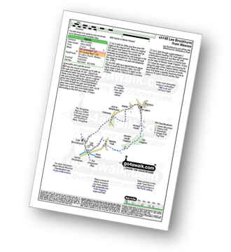
Walk sh148 Lee Brockhurst from Weston

Quiet paths and a gentle ascent

Download GPS Waypoint Data for walk sh148
Download GPX Waypoint Data for walk sh148
Download Map and Route Details for walk sh148

Vital Statistics:

Length:5 miles (8 km)
Ascent:542ft (165m)
Time:2½ hrs
Grade:Grade 3 Walking Easy
Walk 2 Walking Bootprint Icon

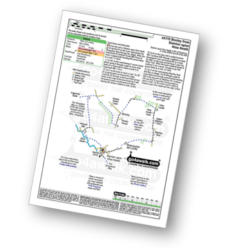
Walk sh110 Booley and Blakeleyhill from Stanton upon Hine Heath

Quiet lanes and field paths

Download GPS Waypoint Data for walk sh110
Download GPX Waypoint Data for walk sh110
Download Map and Route Details for walk sh110

Vital Statistics:

Length:6.25 miles (10 km)
Ascent:295ft (90m)
Time:2½ hrs
Grade:Grade 2 Walking Easy
Walk 3 Walking Bootprint Icon

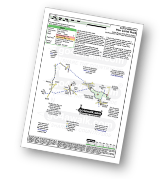
Walk sh170 Alderton from Corbet Wood

Gentle gradients to fine views

Download GPS Waypoint Data for walk sh170
Download GPX Waypoint Data for walk sh170
Download Map and Route Details for walk sh170

Vital Statistics:

Length:5.25 miles (8.5 km)
Ascent:459ft (140m)
Time:2½ hrs
Grade:Grade 2 Walking Easy
Walk 4 Walking Bootprint Icon

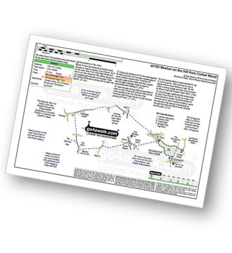
Walk sh193 Newton on the Hill from Corbet Wood

Gentle gradients to fine views

Download GPS Waypoint Data for walk sh193
Download GPX Waypoint Data for walk sh193
Download Map and Route Details for walk sh193

Vital Statistics:

Length:6.25 miles (10 km)
Ascent:558ft (170m)
Time:2.75hrs
Grade:Grade 3 Walking Easy
Walk 5 Walking Bootprint Icon

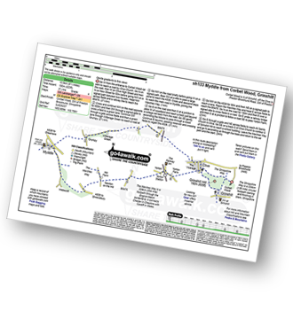
Walk sh133 Clive, Myddle, Webscott and Yorton from Grinshill

Gentle gradients to fine views

Download GPS Waypoint Data for walk sh133
Download GPX Waypoint Data for walk sh133
Download Map and Route Details for walk sh133

Vital Statistics:

Length:9 miles (14.5 km)
Ascent:797ft (243m)
Time:4.25hrs
Grade:Grade 4 Walking Moderate
Walk 6 Walking Bootprint Icon

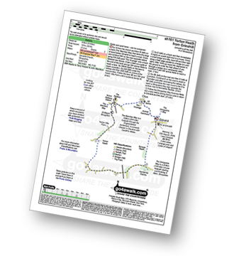
Walk sh161 Yorton Heath from Grinshill

Fields and quiet lanes - can be overgrown

Download GPS Waypoint Data for walk sh161
Download GPX Waypoint Data for walk sh161
Download Map and Route Details for walk sh161

Vital Statistics:

Length:6 miles (9.5 km)
Ascent:351ft (107m)
Time:2½ hrs
Grade:Grade 2 Walking Easy
Walk 7 Walking Bootprint Icon

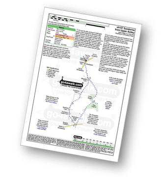
Walk sh157 Sundorme from Upper Astley

An easy walk along paths and lanes

Download GPS Waypoint Data for walk sh157
Download GPX Waypoint Data for walk sh157
Download Map and Route Details for walk sh157

Vital Statistics:

Length:5 miles (8 km)
Ascent:161ft (49m)
Time:2 hrs
Grade:Grade 1 Walking Easy
Walk 8 Walking Bootprint Icon

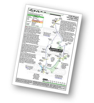
Walk sh186 Uffington from Upper Astley

An easy walk along paths and lanes

Download GPS Waypoint Data for walk sh186
Download GPX Waypoint Data for walk sh186
Download Map and Route Details for walk sh186

Vital Statistics:

Length:7.5 miles (12 km)
Ascent:361ft (110m)
Time:3 hrs
Grade:Grade 3 Walking Easy
Walk 9 Walking Bootprint Icon

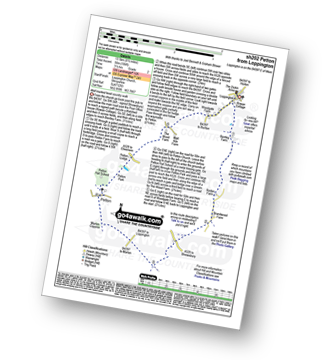
Walk sh202 Petton from Loppington

A level walk with good views

Download GPS Waypoint Data for walk sh202
Download GPX Waypoint Data for walk sh202
Download Map and Route Details for walk sh202

Vital Statistics:

Length:9.25 miles (14.5 km)
Ascent:321ft (98m)
Time:3.75hrs
Grade:Grade 3 Walking Easy
Walk 10 Walking Bootprint Icon

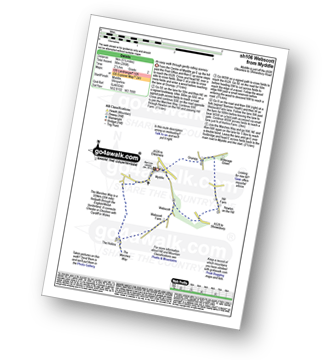
Walk sh106 Webscott from Myddle

An easy walk through gently rolling scenery

Download GPS Waypoint Data for walk sh106
Download GPX Waypoint Data for walk sh106
Download Map and Route Details for walk sh106

Vital Statistics:

Length:5.5 miles (9 km)
Ascent:295ft (90m)
Time:2½ hrs
Grade:Grade 2 Walking Easy
Walk 11 Walking Bootprint Icon

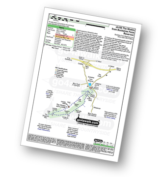
Walk sh100 The Wrekin from Buckatree Farm Reservoir

Superb expansive Shropshire views

Download GPS Waypoint Data for walk sh100
Download GPX Waypoint Data for walk sh100
Download Map and Route Details for walk sh100

Vital Statistics:

Length:3.75 miles (6 km)
Ascent:1,004ft (306m)
Time:2½ hrs
Grade:Grade 3 Walking Easy
Walk 12 Walking Bootprint Icon

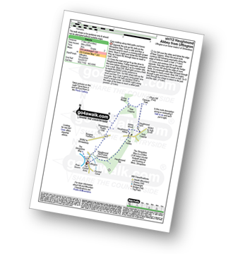
Walk sh112 Haughmond Abbey from Uffington

An easy walk along field paths and lanes

Download GPS Waypoint Data for walk sh112
Download GPX Waypoint Data for walk sh112
Download Map and Route Details for walk sh112

Vital Statistics:

Length:4.75 miles (7.5 km)
Ascent:295ft (90m)
Time:2 hrs
Grade:Grade 2 Walking Easy
Walk 13 Walking Bootprint Icon

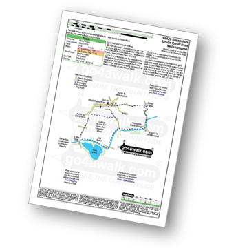
Walk sh126 Shropshire Union Canal from Welshampton

Level field and towpath walking

Download GPS Waypoint Data for walk sh126
Download GPX Waypoint Data for walk sh126
Download Map and Route Details for walk sh126

Vital Statistics:

Length:5 miles (8 km)
Ascent:197ft (60m)
Time:2 hrs
Grade:Grade 1 Walking Easy
Walk 14 Walking Bootprint Icon

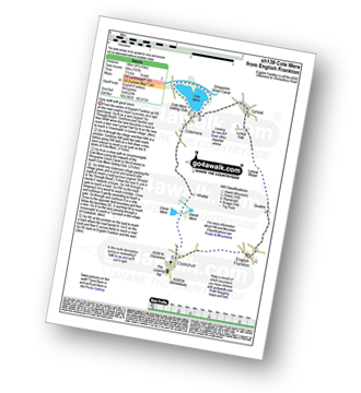
Walk sh139 Cole Mere from Cockshutt

Easy walk with good views

Download GPS Waypoint Data for walk sh139
Download GPX Waypoint Data for walk sh139
Download Map and Route Details for walk sh139

Vital Statistics:

Length:9 miles (14.5 km)
Ascent:420ft (128m)
Time:3.75hrs
Grade:Grade 3 Walking Easy
Walk 15 Walking Bootprint Icon

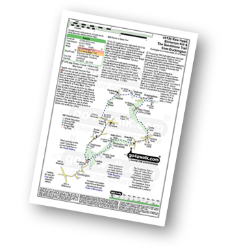
Walk ch136 Raw Head, Bickerton Hill and The Sandstone Trail from Duckington

Superb views of the Cheshire Plain

Download GPS Waypoint Data for walk ch136
Download GPX Waypoint Data for walk ch136
Download Map and Route Details for walk ch136

Vital Statistics:

Length:6.5 miles (10.5 km)
Ascent:6ft (421m)
Time:2.75hrs
Grade:Grade 4 Walking Moderate
Walk 16 Walking Bootprint Icon

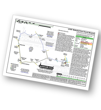
Walk ch189 Wettenhall from Church Minshull

Quiet country lanes

Download GPS Waypoint Data for walk ch189
Download GPX Waypoint Data for walk ch189
Download Map and Route Details for walk ch189

Vital Statistics:

Length:8.25 miles (13 km)
Ascent:295ft (90m)
Time:3½ hrs
Grade:Grade 3 Walking Easy
Walk 17 Walking Bootprint Icon

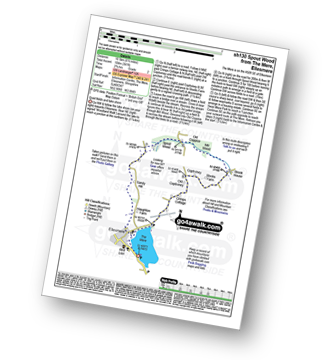
Walk sh130 Spout Wood from The Mere, Ellesmere

Quiet fields and lake shore

Download GPS Waypoint Data for walk sh130
Download GPX Waypoint Data for walk sh130
Download Map and Route Details for walk sh130

Vital Statistics:

Length:6.5 miles (10.5 km)
Ascent:241ft (104m)
Time:2.75hrs
Grade:Grade 2 Walking Easy
Walk 18 Walking Bootprint Icon

Walk sh143 Welshampton from The Mere, Ellesmere

Quiet fields, lanes and lake shore

Download GPS Waypoint Data for walk sh143
Download GPX Waypoint Data for walk sh143
Download Map and Route Details for walk sh143

Vital Statistics:

Length:7.5 miles (12 km)
Ascent:420ft (128m)
Time:3.25hrs
Grade:Grade 3 Walking Easy
Walk 19 Walking Bootprint Icon

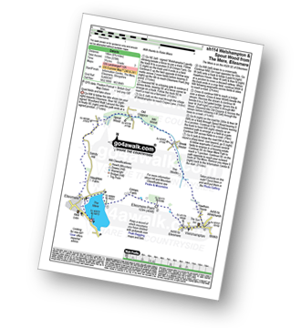
Walk sh114 Welshampton and Spout Wood from The Mere, Ellesmere

Quiet fields and lake shore

Download GPS Waypoint Data for walk sh114
Download GPX Waypoint Data for walk sh114
Download Map and Route Details for walk sh114

Vital Statistics:

Length:8.75 miles (14 km)
Ascent:578ft (176m)
Time:3.75hrs
Grade:Grade 3 Walking Easy
Walk 20 Walking Bootprint Icon

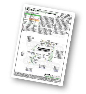
Walk ch153 Raw Head and The Sandstone Trail from Higher Burwardsley

Superb views of the Cheshire Plain

Download GPS Waypoint Data for walk ch153
Download GPX Waypoint Data for walk ch153
Download Map and Route Details for walk ch153

Vital Statistics:

Length:5.5 miles (8.5 km)
Ascent:1,050ft (320m)
Time:3 hrs
Grade:Grade 4 Walking Moderate
Walk 21 Walking Bootprint Icon

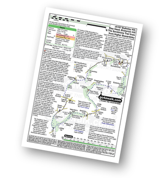
Walk ch107 Bulkeley Hill, Raw Head, Bickerton Hill and The Sandstone Trail from Upper Bewardsley

Superb views of the Cheshire Plain

Download GPS Waypoint Data for walk ch107
Download GPX Waypoint Data for walk ch107
Download Map and Route Details for walk ch107

Vital Statistics:

Length:9.5 miles (15 km)
Ascent:1,831ft (558m)
Time:5.25hrs
Grade:Grade 6 Walking Moderate
Walk 22 Walking Bootprint Icon

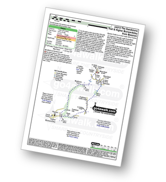
Walk ch213 The Sandstone Trail and Higher Burwardsley from Beeston

Woodland and farmland walk

Download GPS Waypoint Data for walk ch213
Download GPX Waypoint Data for walk ch213
Download Map and Route Details for walk ch213

Vital Statistics:

Length:4.75 miles (7.5 km)
Ascent:515ft (157m)
Time:2.25hrs
Grade:Grade 2 Walking Easy
Walk 23 Walking Bootprint Icon

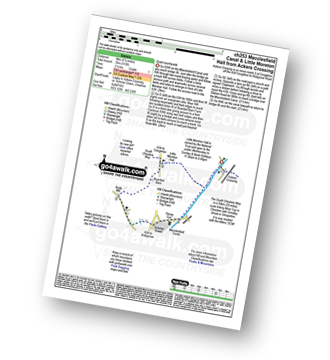
Walk ch253 Little Moreton Hall from Ackers Crossing

Quiet countryside

Download GPS Waypoint Data for walk ch253
Download GPX Waypoint Data for walk ch253
Download Map and Route Details for walk ch253

Vital Statistics:

Length:5.5 miles (9 km)
Ascent:115ft (35m)
Time:2.25hrs
Grade:Grade 1 Walking Easy
Walk 24 Walking Bootprint Icon

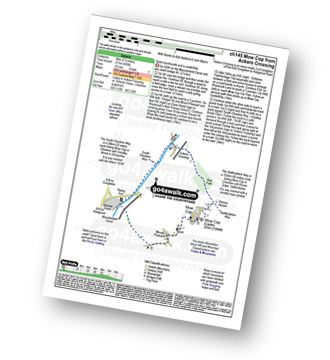
Walk ch145 Mow Cop from Ackers Crossing

Quiet countryside and a castle/folly

Download GPS Waypoint Data for walk ch145
Download GPX Waypoint Data for walk ch145
Download Map and Route Details for walk ch145

Vital Statistics:

Length:5.5 miles (9 km)
Ascent:689ft (215m)
Time:2.75hrs
Grade:Grade 3 Walking Easy
Walk 25 Walking Bootprint Icon

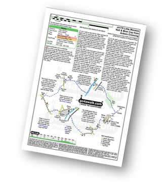
Walk ch170 Little Moreton Hall and Mow Cop from Ackers Crossing

Quiet countryside and a castle/folly

Download GPS Waypoint Data for walk ch170
Download GPX Waypoint Data for walk ch170
Download Map and Route Details for walk ch170

Vital Statistics:

Length:8.25 miles (13 km)
Ascent:804ft (245m)
Time:3.75hrs
Grade:Grade 4 Walking Moderate
Walk 26 Walking Bootprint Icon

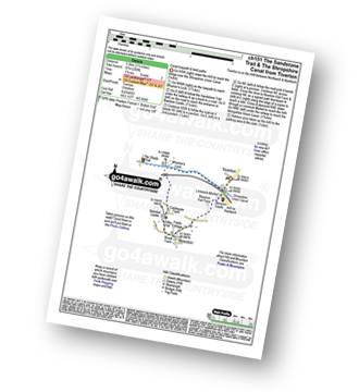
Walk ch151 The Sandstone Trail and The Shropshire Union Canal from Tiverton

Canal towpath and field paths

Download GPS Waypoint Data for walk ch151
Download GPX Waypoint Data for walk ch151
Download Map and Route Details for walk ch151

Vital Statistics:

Length:3.5 miles (5.5 km)
Ascent:286ft (87m)
Time:1.75hrs
Grade:Grade 2 Walking Easy
Walk 27 Walking Bootprint Icon

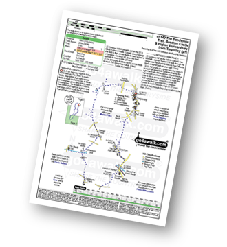
Walk ch142 The Sandstone Trail, Beeston Castle and Higher Burwardsley from Tarporley

Field paths and woodland

Download GPS Waypoint Data for walk ch142
Download GPX Waypoint Data for walk ch142
Download Map and Route Details for walk ch142

Vital Statistics:

Length:11.25 miles (18 km)
Ascent:883ft (269m)
Time:5 hrs
Grade:Grade 5 Walking Moderate
Walk 28 Walking Bootprint Icon

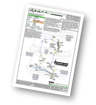
Walk ch116 The Sandstone Trail and The Shropshire Union Canal from Tarpoley

Field path & a canal towpath

Download GPS Waypoint Data for walk ch116
Download GPX Waypoint Data for walk ch116
Download Map and Route Details for walk ch116

Vital Statistics:

Length:6 miles (9.5 km)
Ascent:295ft (90m)
Time:2½ hrs
Grade:Grade 2 Walking Easy
Walk 29 Walking Bootprint Icon

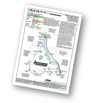
Walk s128 Consall Forge and The Caldon Canal from Cheddleton

Farmland and canal towpaths

Download GPS Waypoint Data for walk s128
Download GPX Waypoint Data for walk s128
Download Map and Route Details for walk s128

Vital Statistics:

Length:6.5 miles (10.5 km)
Ascent:738ft (225m)
Time:3.25hrs
Grade:Grade 3 Walking Easy
Walk 30 Walking Bootprint Icon

Walk ch108 The Cloud (Bosley Cloud) and The Macclesfield Canal from Timbersbrook

Huge views followed by a canal towpath

Download GPS Waypoint Data for walk ch108
Download GPX Waypoint Data for walk ch108
Download Map and Route Details for walk ch108

Vital Statistics:

Length:9 miles (14.5 km)
Ascent:1,208ft (368m)
Time:4½ hrs
Grade:Grade 5 Walking Moderate


Follow go4awalk.com on Twitter Follow go4awalk.com on Facebook