The 30 nearest, easy-to-follow, circular walks, routes & maps to UK Postcode ST6

The thirty nearest, easy-to-follow, circular walks, routes & maps to UK Postcode ST6 in Walk Grade Order


Not familiar with the area around ST6?

See these 30 nearest walks to UK Postcode ST6 on a google map


Walk 1 Walking Bootprint Icon

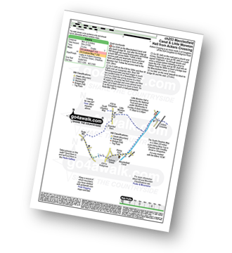
Walk ch253 Little Moreton Hall from Ackers Crossing

Quiet countryside

Download GPS Waypoint Data for walk ch253
Download GPX Waypoint Data for walk ch253
Download Map and Route Details for walk ch253

Vital Statistics:

Length:5.5 miles (9 km)
Ascent:115ft (35m)
Time:2.25hrs
Grade:Grade 1 Walking Easy
Walk 2 Walking Bootprint Icon

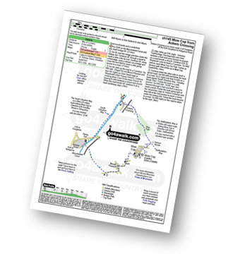
Walk ch145 Mow Cop from Ackers Crossing

Quiet countryside and a castle/folly

Download GPS Waypoint Data for walk ch145
Download GPX Waypoint Data for walk ch145
Download Map and Route Details for walk ch145

Vital Statistics:

Length:5.5 miles (9 km)
Ascent:689ft (215m)
Time:2.75hrs
Grade:Grade 3 Walking Easy
Walk 3 Walking Bootprint Icon

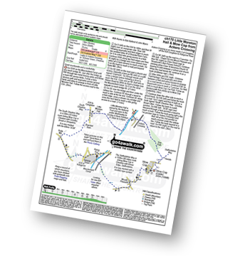
Walk ch170 Little Moreton Hall and Mow Cop from Ackers Crossing

Quiet countryside and a castle/folly

Download GPS Waypoint Data for walk ch170
Download GPX Waypoint Data for walk ch170
Download Map and Route Details for walk ch170

Vital Statistics:

Length:8.25 miles (13 km)
Ascent:804ft (245m)
Time:3.75hrs
Grade:Grade 4 Walking Moderate
Walk 4 Walking Bootprint Icon

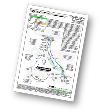
Walk s128 Consall Forge and The Caldon Canal from Cheddleton

Farmland and canal towpaths

Download GPS Waypoint Data for walk s128
Download GPX Waypoint Data for walk s128
Download Map and Route Details for walk s128

Vital Statistics:

Length:6.5 miles (10.5 km)
Ascent:738ft (225m)
Time:3.25hrs
Grade:Grade 3 Walking Easy
Walk 5 Walking Bootprint Icon

Walk s164 A circuit of Rudyard Reservoir

A gentle stroll lakeside stroll

Download GPS Waypoint Data for walk s164
Download GPX Waypoint Data for walk s164
Download Map and Route Details for walk s164

Vital Statistics:

Length:4.5 miles (7 km)
Ascent:295ft (90m)
Time:2 hrs
Grade:Grade 2 Walking Easy
Walk 6 Walking Bootprint Icon

Walk s249 Gun (Staffordshire) from Rudyard Reservoir

Superb views followed by a lakeside stroll

Download GPS Waypoint Data for walk s249
Download GPX Waypoint Data for walk s249
Download Map and Route Details for walk s249

Vital Statistics:

Length:10 miles (16 km)
Ascent:1,404ft (428m)
Time:5 hrs
Grade:Grade 5 Walking Moderate
Walk 7 Walking Bootprint Icon

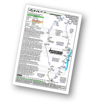
Walk s123 Hillswood and Gun (Staffordshire) from Abbey Green, near Leek

Excellent walk to superb views

Download GPS Waypoint Data for walk s123
Download GPX Waypoint Data for walk s123
Download Map and Route Details for walk s123

Vital Statistics:

Length:9 miles (14.5 km)
Ascent:1,178ft (359m)
Time:4½ hrs
Grade:Grade 5 Walking Moderate
Walk 8 Walking Bootprint Icon

Walk ch172 The Cloud (Bosley Cloud) and Rushtone Spencer from Timbersbrook

Stunning views

Download GPS Waypoint Data for walk ch172
Download GPX Waypoint Data for walk ch172
Download Map and Route Details for walk ch172

Vital Statistics:

Length:7.5 miles (12 km)
Ascent:1,359ft (414m)
Time:4.25hrs
Grade:Grade 5 Walking Moderate
Walk 9 Walking Bootprint Icon

Walk ch108 The Cloud (Bosley Cloud) and The Macclesfield Canal from Timbersbrook

Huge views followed by a canal towpath

Download GPS Waypoint Data for walk ch108
Download GPX Waypoint Data for walk ch108
Download Map and Route Details for walk ch108

Vital Statistics:

Length:9 miles (14.5 km)
Ascent:1,208ft (368m)
Time:4½ hrs
Grade:Grade 5 Walking Moderate
Walk 10 Walking Bootprint Icon

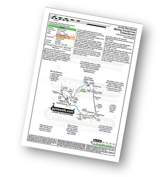
Walk ch135 The Cloud (Bosley Cloud) from Timbersbrook

Stunning views after a gentle climb

Download GPS Waypoint Data for walk ch135
Download GPX Waypoint Data for walk ch135
Download Map and Route Details for walk ch135

Vital Statistics:

Length:4 miles (6.5 km)
Ascent:791ft (241m)
Time:2.25hrs
Grade:Grade 3 Walking Easy
Walk 11 Walking Bootprint Icon

Walk s100 Morridge, Moor Top and Lowe Hill from Leek

Varied walking with gentle climbs

Download GPS Waypoint Data for walk s100
Download GPX Waypoint Data for walk s100
Download Map and Route Details for walk s100

Vital Statistics:

Length:7 miles (11 km)
Ascent:1,076ft (328m)
Time:3½ hrs
Grade:Grade 4 Walking Moderate
Walk 12 Walking Bootprint Icon

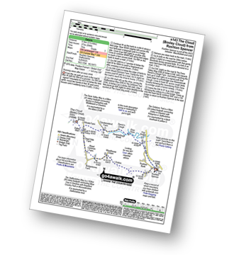
Walk s143 The Cloud (Bosley Cloud) from Rushton Spencer

Stunning views after an easy climb

Download GPS Waypoint Data for walk s143
Download GPX Waypoint Data for walk s143
Download Map and Route Details for walk s143

Vital Statistics:

Length:5.5 miles (8.5 km)
Ascent:896ft (273m)
Time:3 hrs
Grade:Grade 3 Walking Easy
Walk 13 Walking Bootprint Icon

Walk s110 Consall Forge and The Caldon Canal from Ipstones

Woodland and canal walking

Download GPS Waypoint Data for walk s110
Download GPX Waypoint Data for walk s110
Download Map and Route Details for walk s110

Vital Statistics:

Length:4.75 miles (7.5 km)
Ascent:742ft (226m)
Time:2½ hrs
Grade:Grade 3 Walking Easy
Walk 14 Walking Bootprint Icon

Walk s157 Foxt and Oldridge Pinnacle from Froghall Wharf

Woodland and canal walking

Download GPS Waypoint Data for walk s157
Download GPX Waypoint Data for walk s157
Download Map and Route Details for walk s157

Vital Statistics:

Length:4 miles (6.5 km)
Ascent:830ft (253m)
Time:2.25hrs
Grade:Grade 3 Walking Easy
Walk 15 Walking Bootprint Icon

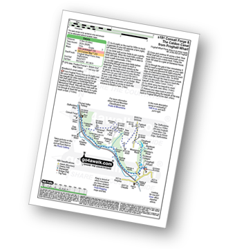
Walk s191 Consall Forge and The Caldon Canal from Froghall Wharf

Woodland and canal walking

Download GPS Waypoint Data for walk s191
Download GPX Waypoint Data for walk s191
Download Map and Route Details for walk s191

Vital Statistics:

Length:6 miles (9.5 km)
Ascent:860ft (262m)
Time:3 hrs
Grade:Grade 3 Walking Easy

Not familiar with the area around ST6?

See these 30 nearest walks to UK Postcode ST6 on a google map


Walk 16 Walking Bootprint Icon

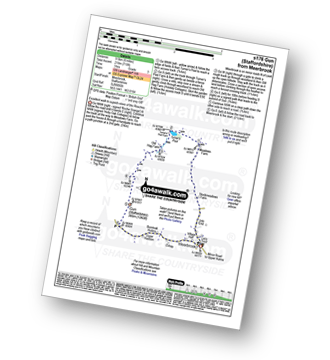
Walk s176 Gun (Staffordshire) from Meerbrook

Excellent walk to superb views of The Roaches

Download GPS Waypoint Data for walk s176
Download GPX Waypoint Data for walk s176
Download Map and Route Details for walk s176

Vital Statistics:

Length:6 miles (9.5 km)
Ascent:715ft (218m)
Time:3 hrs
Grade:Grade 3 Walking Easy
Walk 17 Walking Bootprint Icon

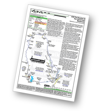
Walk s228 The Roaches and Hen Cloud from Meerbrook

Excellent country walk to huge views

Download GPS Waypoint Data for walk s228
Download GPX Waypoint Data for walk s228
Download Map and Route Details for walk s228

Vital Statistics:

Length:8.25 miles (13 km)
Ascent:1,490ft (454m)
Time:4½ hrs
Grade:Grade 5 Walking Moderate
Walk 18 Walking Bootprint Icon

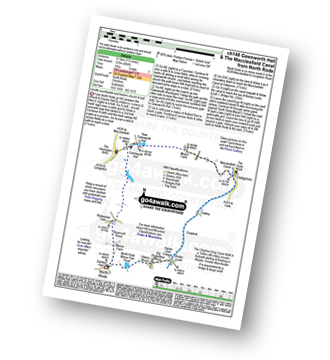
Walk ch148 Gawsworth Hall from North Rode

Gentle countryside and historic church & hall

Download GPS Waypoint Data for walk ch148
Download GPX Waypoint Data for walk ch148
Download Map and Route Details for walk ch148

Vital Statistics:

Length:7.25 miles (11.5 km)
Ascent:404ft (123m)
Time:3 hrs
Grade:Grade 3 Walking Easy
Walk 19 Walking Bootprint Icon

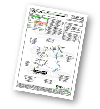
Walk ch115 North Rode from Bosley Locks

Lovely stroll down a 12 Canal Lock Staircase

Download GPS Waypoint Data for walk ch115
Download GPX Waypoint Data for walk ch115
Download Map and Route Details for walk ch115

Vital Statistics:

Length:4.5 miles (7 km)
Ascent:341ft (104m)
Time:2 hrs
Grade:Grade 2 Walking Easy
Walk 20 Walking Bootprint Icon

Walk s221 Gib Tor, The Roaches and Hen Cloud from Upper Hulme

A high moorland walk with fabulous views

Download GPS Waypoint Data for walk s221
Download GPX Waypoint Data for walk s221
Download Map and Route Details for walk s221

Vital Statistics:

Length:9 miles (14.5 km)
Ascent:1,795ft (547m)
Time:5 hrs
Grade:Grade 6 Walking Moderate
Walk 21 Walking Bootprint Icon

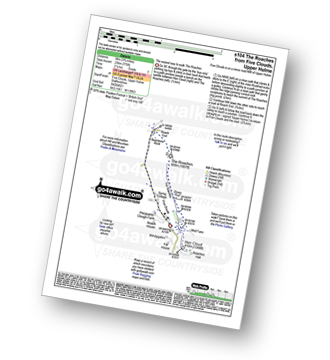
Walk s104 The Roaches from Five Clouds, Upper Hulme

The 'easiest' way to walk The Roaches

Download GPS Waypoint Data for walk s104
Download GPX Waypoint Data for walk s104
Download Map and Route Details for walk s104

Vital Statistics:

Length:3.75 miles (6 km)
Ascent:775ft (236m)
Time:2.25hrs
Grade:Grade 3 Walking Easy
Walk 22 Walking Bootprint Icon

Walk s161 The Roaches and Lud's Church from Five Clouds, Upper Hulme

The easiest way to The Roaches and Lud's Church

Download GPS Waypoint Data for walk s161
Download GPX Waypoint Data for walk s161
Download Map and Route Details for walk s161

Vital Statistics:

Length:6 miles (9.5 km)
Ascent:1,234ft (376m)
Time:3½ hrs
Grade:Grade 4 Walking Moderate
Walk 23 Walking Bootprint Icon

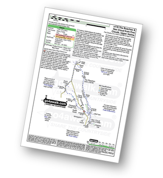
Walk s178 The Roaches and Hen Cloud from Five Clouds, Upper Hulme

Superb views from a Peak District Icon

Download GPS Waypoint Data for walk s178
Download GPX Waypoint Data for walk s178
Download Map and Route Details for walk s178

Vital Statistics:

Length:4.75 miles (7.5 km)
Ascent:1,182ft (360m)
Time:3 hrs
Grade:Grade 4 Walking Moderate
Walk 24 Walking Bootprint Icon

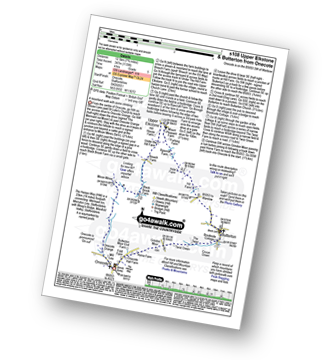
Walk s108 Butterton and Upper Elkstone from Onecote

Wild(ish) Moorland walk

Download GPS Waypoint Data for walk s108
Download GPX Waypoint Data for walk s108
Download Map and Route Details for walk s108

Vital Statistics:

Length:7.75 miles (12.5 km)
Ascent:1,139ft (347m)
Time:4 hrs
Grade:Grade 5 Walking Moderate
Walk 25 Walking Bootprint Icon

Walk s122 Lud's Church and The Roaches from Roach End

The 'easiest' way to Lud's Church & The Roaches

Download GPS Waypoint Data for walk s122
Download GPX Waypoint Data for walk s122
Download Map and Route Details for walk s122

Vital Statistics:

Length:3.25 miles (5 km)
Ascent:778ft (237m)
Time:2 hrs
Grade:Grade 2 Walking Easy
Walk 26 Walking Bootprint Icon

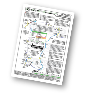
Walk ch175 The Macclesfield Canal, Bosley Locks and North Rode from Gawsworth

Gentle countryside stroll and historic church and hall

Download GPS Waypoint Data for walk ch175
Download GPX Waypoint Data for walk ch175
Download Map and Route Details for walk ch175

Vital Statistics:

Length:9.25 miles (15 km)
Ascent:545ft (166m)
Time:4 hrs
Grade:Grade 4 Walking Moderate
Walk 27 Walking Bootprint Icon

Walk ch128 Gawsworth from Oakgrove

Gentle stroll to a historic house

Download GPS Waypoint Data for walk ch128
Download GPX Waypoint Data for walk ch128
Download Map and Route Details for walk ch128

Vital Statistics:

Length:4.5 miles (7 km)
Ascent:66ft (20m)
Time:1½ hrs
Grade:Grade 1 Walking Easy
Walk 28 Walking Bootprint Icon

Walk s131 Lud's Church and The Roaches from Gradbach

Iconic Lud's Church and huge views

Download GPS Waypoint Data for walk s131
Download GPX Waypoint Data for walk s131
Download Map and Route Details for walk s131

Vital Statistics:

Length:5 miles (8 km)
Ascent:1,306ft (398m)
Time:3.25hrs
Grade:Grade 4 Walking Moderate
Walk 29 Walking Bootprint Icon

Walk s107 Three Shires Head, Oliver Hill and Flash from Gradbach

Superb views & iconic Three Shires Head

Download GPS Waypoint Data for walk s107
Download GPX Waypoint Data for walk s107
Download Map and Route Details for walk s107

Vital Statistics:

Length:8.25 miles (13 km)
Ascent:1,464ft (446m)
Time:4½ hrs
Grade:Grade 5 Walking Moderate
Walk 30 Walking Bootprint Icon

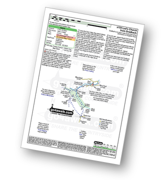
Walk s154 Lud's Church from Gradbach

Iconic Lud's Church

Download GPS Waypoint Data for walk s154
Download GPX Waypoint Data for walk s154
Download Map and Route Details for walk s154

Vital Statistics:

Length:4 miles (6.5 km)
Ascent:1,306ft (398m)
Time:2½ hrs
Grade:Grade 3 Walking Easy

Not familiar with the area around ST6?

See these 30 nearest walks to UK Postcode ST6 on a google map


Follow go4awalk.com on Twitter Follow go4awalk.com on Facebook


Do not miss our pick of the Best Walks in the UK