The 30 nearest, easy-to-follow, circular walks, routes & maps to UK Postcode CV4

The thirty nearest, easy-to-follow, circular walks, routes & maps to UK Postcode CV4 in Walk Grade Order


Not familiar with the area around CV4?

See these 30 nearest walks to UK Postcode CV4 on a google map


Walk 1 Walking Bootprint Icon

Walk wa164 Clifford Chambers from Stratford-upon-Avon

Shakespeare country

Download GPS Waypoint Data for walk wa164
Download GPX Waypoint Data for walk wa164
Download Map and Route Details for walk wa164

Vital Statistics:

Length:7 miles (11 km)
Ascent:151ft (46m)
Time:2.75hrs
Grade:Grade 2 Walking Easy
Walk 2 Walking Bootprint Icon

Walk no120 The Jurassic Way from Watford

Easy country walking on field paths

Download GPS Waypoint Data for walk no120
Download GPX Waypoint Data for walk no120
Download Map and Route Details for walk no120

Vital Statistics:

Length:5.75 miles (9 km)
Ascent:226ft (69m)
Time:2½ hrs
Grade:Grade 2 Walking Easy
Walk 3 Walking Bootprint Icon

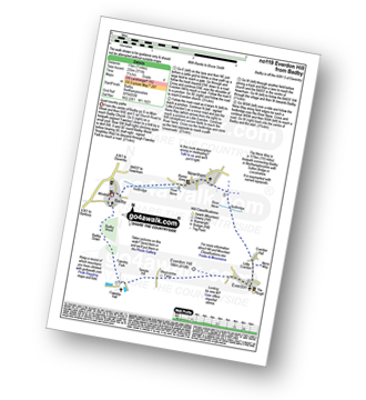
Walk no100 Arbury Hill from Badby

The highest point in Northamptonshire

Download GPS Waypoint Data for walk no100
Download GPX Waypoint Data for walk no100
Download Map and Route Details for walk no100

Vital Statistics:

Length:5.5 miles (9 km)
Ascent:499ft (152m)
Time:2½ hrs
Grade:Grade 3 Walking Easy
Walk 4 Walking Bootprint Icon

Walk no119 Everdon from Badby

Quiet country paths

Download GPS Waypoint Data for walk no119
Download GPX Waypoint Data for walk no119
Download Map and Route Details for walk no119

Vital Statistics:

Length:7 miles (11 km)
Ascent:771ft (235m)
Time:3.25hrs
Grade:Grade 4 Walking Moderate
Walk 5 Walking Bootprint Icon

Walk no104 Watford and The Jurassic Way from West Haddon

Pleasant country walking

Download GPS Waypoint Data for walk no104
Download GPX Waypoint Data for walk no104
Download Map and Route Details for walk no104

Vital Statistics:

Length:6.5 miles (10.5 km)
Ascent:338ft (103m)
Time:2.75hrs
Grade:Grade 2 Walking Easy
Walk 6 Walking Bootprint Icon

Walk no116 The Jurassic Way from West Haddon

Pleasant country walking

Download GPS Waypoint Data for walk no116
Download GPX Waypoint Data for walk no116
Download Map and Route Details for walk no116

Vital Statistics:

Length:5.25 miles (8.5 km)
Ascent:292ft (89m)
Time:2.25hrs
Grade:Grade 2 Walking Easy
Walk 7 Walking Bootprint Icon

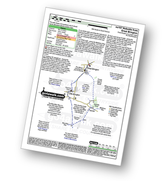
Walk no107 Nobottle from Great Brington

Quaint villages and country trails

Download GPS Waypoint Data for walk no107
Download GPX Waypoint Data for walk no107
Download Map and Route Details for walk no107

Vital Statistics:

Length:5 miles (8 km)
Ascent:345ft (105m)
Time:2.25hrs
Grade:Grade 2 Walking Easy
Walk 8 Walking Bootprint Icon

Walk le101 Donisthorpe Woodland Park from The Conkers Discovery Centre, Swadlincote

A former railway line & regenerated parkland

Download GPS Waypoint Data for walk le101
Download GPX Waypoint Data for walk le101
Download Map and Route Details for walk le101

Vital Statistics:

Length:3.5 miles (5.5 km)
Ascent:289ft (88m)
Time:1.75hrs
Grade:Grade 1 Walking Easy
Walk 9 Walking Bootprint Icon

Walk gl103 Longborough, Donnington and Broadwell from Moreton-in-Marsh

Lovely country walking through the Cotswolds

Download GPS Waypoint Data for walk gl103
Download GPX Waypoint Data for walk gl103
Download Map and Route Details for walk gl103

Vital Statistics:

Length:10.25 miles (16.5 km)
Ascent:463ft (141m)
Time:4.25hrs
Grade:Grade 3 Walking Easy
Walk 10 Walking Bootprint Icon

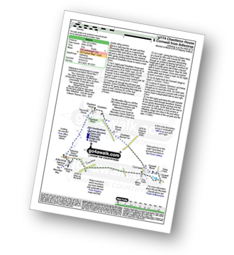
Walk gl174 Chastleton House and Cornwell from Adlestrop

Gentle rolling scenery

Download GPS Waypoint Data for walk gl174
Download GPX Waypoint Data for walk gl174
Download Map and Route Details for walk gl174

Vital Statistics:

Length:6.25 miles (10 km)
Ascent:670ft (204m)
Time:3 hrs
Grade:Grade 3 Walking Easy
Walk 11 Walking Bootprint Icon

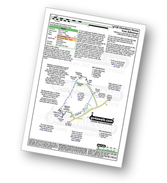
Walk gl126 Chastleton House from Adlestrop

Easy country walking

Download GPS Waypoint Data for walk gl126
Download GPX Waypoint Data for walk gl126
Download Map and Route Details for walk gl126

Vital Statistics:

Length:3.75 miles (6 km)
Ascent:394ft (120m)
Time:1.75hrs
Grade:Grade 2 Walking Easy
Walk 12 Walking Bootprint Icon

Walk gl111 Chastleton House, Cornwell, Daylesford and Lower Oddington from Adlestrop

Gentle rolling scenery

Download GPS Waypoint Data for walk gl111
Download GPX Waypoint Data for walk gl111
Download Map and Route Details for walk gl111

Vital Statistics:

Length:9 miles (14.5 km)
Ascent:801ft (244m)
Time:4.25hrs
Grade:Grade 4 Walking Moderate
Walk 13 Walking Bootprint Icon

Walk gl213 Cornwell, Daylesford and Lower Oddington from Adlestrop

Gentle rolling scenery

Download GPS Waypoint Data for walk gl213
Download GPX Waypoint Data for walk gl213
Download Map and Route Details for walk gl213

Vital Statistics:

Length:8.25 miles (13 km)
Ascent:696ft (212m)
Time:3.75hrs
Grade:Grade 4 Walking Moderate
Walk 14 Walking Bootprint Icon

Walk gl154 Donnington from Stow-on-the-Wold

Fine views across the Cotswolds

Download GPS Waypoint Data for walk gl154
Download GPX Waypoint Data for walk gl154
Download Map and Route Details for walk gl154

Vital Statistics:

Length:6 miles (9.5 km)
Ascent:508ft (155m)
Time:2½ hrs
Grade:Grade 3 Walking Easy
Walk 15 Walking Bootprint Icon

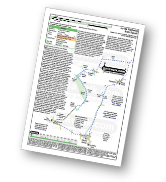
Walk no134 Hardwick from Sywell

Quiet country churches and villages

Download GPS Waypoint Data for walk no134
Download GPX Waypoint Data for walk no134
Download Map and Route Details for walk no134

Vital Statistics:

Length:8.5 miles (13.5 km)
Ascent:246ft (75m)
Time:3½ hrs
Grade:Grade 2 Walking Easy

Not familiar with the area around CV4?

See these 30 nearest walks to UK Postcode CV4 on a google map


Walk 16 Walking Bootprint Icon

Walk ox117 Cornwell from Churchill

Quiet roads and farmland

Download GPS Waypoint Data for walk ox117
Download GPX Waypoint Data for walk ox117
Download Map and Route Details for walk ox117

Vital Statistics:

Length:5.5 miles (9 km)
Ascent:400ft (122m)
Time:2½ hrs
Grade:Grade 2 Walking Easy
Walk 17 Walking Bootprint Icon

Walk ox170 Hardwick from Stoke Lyne

Beautiful rural Oxfordshire

Download GPS Waypoint Data for walk ox170
Download GPX Waypoint Data for walk ox170
Download Map and Route Details for walk ox170

Vital Statistics:

Length:5.25 miles (8.5 km)
Ascent:177ft (54m)
Time:2.25hrs
Grade:Grade 1 Walking Easy
Walk 18 Walking Bootprint Icon

Walk ox137 Steeple Aston, Middle Aston, North Aston and The Oxford Canal from Lower Heyford

Quiet country lanes and canal towpaths

Download GPS Waypoint Data for walk ox137
Download GPX Waypoint Data for walk ox137
Download Map and Route Details for walk ox137

Vital Statistics:

Length:9.75 miles (15 km)
Ascent:555ft (169m)
Time:4 hrs
Grade:Grade 4 Walking Moderate
Walk 19 Walking Bootprint Icon

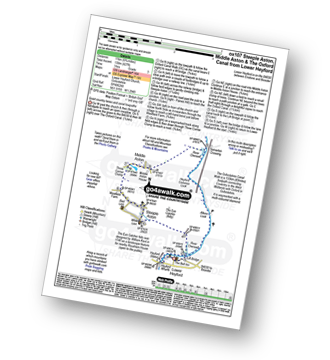
Walk ox107 Steeple Aston, Middle Aston and The Oxford Canal from Lower Heyford

Quiet country lanes and canal towpaths

Download GPS Waypoint Data for walk ox107
Download GPX Waypoint Data for walk ox107
Download Map and Route Details for walk ox107

Vital Statistics:

Length:6.75 miles (11 km)
Ascent:427ft (130m)
Time:3 hrs
Grade:Grade 3 Walking Easy
Walk 20 Walking Bootprint Icon

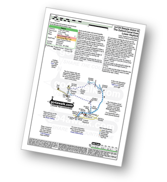
Walk ox124 Steeple Aston and The Oxford Canal from Lower Heyford

Quiet country lanes and canal towpaths

Download GPS Waypoint Data for walk ox124
Download GPX Waypoint Data for walk ox124
Download Map and Route Details for walk ox124

Vital Statistics:

Length:4.75 miles (7.5 km)
Ascent:368ft (112m)
Time:2.25hrs
Grade:Grade 2 Walking Easy
Walk 21 Walking Bootprint Icon

Walk gl186 Hailes Abbey from Winchcombe

Superb rolling scenery

Download GPS Waypoint Data for walk gl186
Download GPX Waypoint Data for walk gl186
Download Map and Route Details for walk gl186

Vital Statistics:

Length:8.5 miles (13.5 km)
Ascent:951ft (290m)
Time:4 hrs
Grade:Grade 4 Walking Moderate
Walk 22 Walking Bootprint Icon

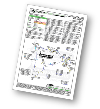
Walk ox112 Hethe and Bainton from Fringford

Beautiful rural Oxfordshire

Download GPS Waypoint Data for walk ox112
Download GPX Waypoint Data for walk ox112
Download Map and Route Details for walk ox112

Vital Statistics:

Length:6.75 miles (10 km)
Ascent:256ft (78m)
Time:2.75hrs
Grade:Grade 2 Walking Easy
Walk 23 Walking Bootprint Icon

Walk ox148 Fringford from Stoke Lyne

Beautiful rural Oxfordshire

Download GPS Waypoint Data for walk ox148
Download GPX Waypoint Data for walk ox148
Download Map and Route Details for walk ox148

Vital Statistics:

Length:7.75 miles (12.5 km)
Ascent:295ft (90m)
Time:3.25hrs
Grade:Grade 3 Walking Easy
Walk 24 Walking Bootprint Icon

Walk ox126 Inotts Clump from Charlbury

Two famous paths in the Eastern Cotswolds

Download GPS Waypoint Data for walk ox126
Download GPX Waypoint Data for walk ox126
Download Map and Route Details for walk ox126

Vital Statistics:

Length:8.75 miles (14 km)
Ascent:574ft (175m)
Time:3.75hrs
Grade:Grade 3 Walking Easy
Walk 25 Walking Bootprint Icon

Walk sh109 Chelmarsh and Hampton Loade from Eardington

Riverside stroll and an ancient church

Download GPS Waypoint Data for walk sh109
Download GPX Waypoint Data for walk sh109
Download Map and Route Details for walk sh109

Vital Statistics:

Length:5.25 miles (8.5 km)
Ascent:532ft (162m)
Time:2½ hrs
Grade:Grade 3 Walking Easy
Walk 26 Walking Bootprint Icon

Walk gl159 Great Rissington from Bourton-on-the-Water

A stroll through the Cotswolds

Download GPS Waypoint Data for walk gl159
Download GPX Waypoint Data for walk gl159
Download Map and Route Details for walk gl159

Vital Statistics:

Length:6.75 miles (11 km)
Ascent:312ft (95m)
Time:3 hrs
Grade:Grade 2 Walking Easy
Walk 27 Walking Bootprint Icon

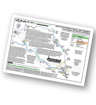
Walk gl204 Naunton from Bourton-on-the-Water

Pretty villages and a riverside stroll - bliss

Download GPS Waypoint Data for walk gl204
Download GPX Waypoint Data for walk gl204
Download Map and Route Details for walk gl204

Vital Statistics:

Length:10.75 miles (17 km)
Ascent:689ft (210m)
Time:4.75hrs
Grade:Grade 4 Walking Moderate
Walk 28 Walking Bootprint Icon

Walk ox109 Foxholes Nature Reserve from Shipton under Wychwood

Level walk in woodland and farmland

Download GPS Waypoint Data for walk ox109
Download GPX Waypoint Data for walk ox109
Download Map and Route Details for walk ox109

Vital Statistics:

Length:6.5 miles (10.5 km)
Ascent:272ft (83m)
Time:2.75hrs
Grade:Grade 2 Walking Easy
Walk 29 Walking Bootprint Icon

Walk sh128 The River Severn, Quatford, Roughton, Rindleford, Fenn Gate and High Rock from Bridgnorth

A fine varied walk in Shropshire

Download GPS Waypoint Data for walk sh128
Download GPX Waypoint Data for walk sh128
Download Map and Route Details for walk sh128

Vital Statistics:

Length:9.5 miles (15.5 km)
Ascent:1,132ft (345m)
Time:4.75hrs
Grade:Grade 5 Walking Moderate
Walk 30 Walking Bootprint Icon

Walk sh201 The River Severn and Nordley from Bridgnorth

Riverside paths & quiet villages

Download GPS Waypoint Data for walk sh201
Download GPX Waypoint Data for walk sh201
Download Map and Route Details for walk sh201

Vital Statistics:

Length:10 miles (16 km)
Ascent:722ft (220m)
Time:4.25hrs
Grade:Grade 4 Walking Moderate

Not familiar with the area around CV4?

See these 30 nearest walks to UK Postcode CV4 on a google map


Do not miss our pick of the Best Walks in the UK


Follow go4awalk.com on Twitter Follow go4awalk.com on Facebook