The 30 nearest, easy-to-follow, circular walks, routes & maps to UK Postcode CV11

The thirty nearest, easy-to-follow, circular walks, routes & maps to UK Postcode CV11 in Walk Grade Order

Walk 1 Walking Bootprint Icon

Walk le101 Donisthorpe Woodland Park from The Conkers Discovery Centre, Swadlincote

A former railway line & regenerated parkland

Download GPS Waypoint Data for walk le101
Download GPX Waypoint Data for walk le101
Download Map and Route Details for walk le101

Vital Statistics:

Length:3.5 miles (5.5 km)
Ascent:289ft (88m)
Time:1.75hrs
Grade:Grade 1 Walking Easy
Walk 2 Walking Bootprint Icon

Walk no120 The Jurassic Way from Watford

Easy country walking on field paths

Download GPS Waypoint Data for walk no120
Download GPX Waypoint Data for walk no120
Download Map and Route Details for walk no120

Vital Statistics:

Length:5.75 miles (9 km)
Ascent:226ft (69m)
Time:2½ hrs
Grade:Grade 2 Walking Easy
Walk 3 Walking Bootprint Icon

Walk no104 Watford and The Jurassic Way from West Haddon

Pleasant country walking

Download GPS Waypoint Data for walk no104
Download GPX Waypoint Data for walk no104
Download Map and Route Details for walk no104

Vital Statistics:

Length:6.5 miles (10.5 km)
Ascent:338ft (103m)
Time:2.75hrs
Grade:Grade 2 Walking Easy
Walk 4 Walking Bootprint Icon

Walk no116 The Jurassic Way from West Haddon

Pleasant country walking

Download GPS Waypoint Data for walk no116
Download GPX Waypoint Data for walk no116
Download Map and Route Details for walk no116

Vital Statistics:

Length:5.25 miles (8.5 km)
Ascent:292ft (89m)
Time:2.25hrs
Grade:Grade 2 Walking Easy
Walk 5 Walking Bootprint Icon

Walk no100 Arbury Hill from Badby

The highest point in Northamptonshire

Download GPS Waypoint Data for walk no100
Download GPX Waypoint Data for walk no100
Download Map and Route Details for walk no100

Vital Statistics:

Length:5.5 miles (9 km)
Ascent:499ft (152m)
Time:2½ hrs
Grade:Grade 3 Walking Easy
Walk 6 Walking Bootprint Icon

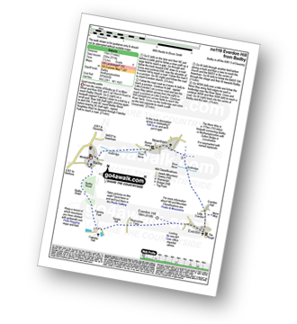
Walk no119 Everdon from Badby

Quiet country paths

Download GPS Waypoint Data for walk no119
Download GPX Waypoint Data for walk no119
Download Map and Route Details for walk no119

Vital Statistics:

Length:7 miles (11 km)
Ascent:771ft (235m)
Time:3.25hrs
Grade:Grade 4 Walking Moderate
Walk 7 Walking Bootprint Icon

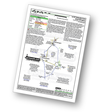
Walk no107 Nobottle from Great Brington

Quaint villages and country trails

Download GPS Waypoint Data for walk no107
Download GPX Waypoint Data for walk no107
Download Map and Route Details for walk no107

Vital Statistics:

Length:5 miles (8 km)
Ascent:345ft (105m)
Time:2.25hrs
Grade:Grade 2 Walking Easy
Walk 8 Walking Bootprint Icon

Walk wa164 Clifford Chambers from Stratford-upon-Avon

Shakespeare country

Download GPS Waypoint Data for walk wa164
Download GPX Waypoint Data for walk wa164
Download Map and Route Details for walk wa164

Vital Statistics:

Length:7 miles (11 km)
Ascent:151ft (46m)
Time:2.75hrs
Grade:Grade 2 Walking Easy
Walk 9 Walking Bootprint Icon

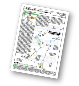
Walk no134 Hardwick from Sywell

Quiet country churches and villages

Download GPS Waypoint Data for walk no134
Download GPX Waypoint Data for walk no134
Download Map and Route Details for walk no134

Vital Statistics:

Length:8.5 miles (13.5 km)
Ascent:246ft (75m)
Time:3½ hrs
Grade:Grade 2 Walking Easy
Walk 10 Walking Bootprint Icon

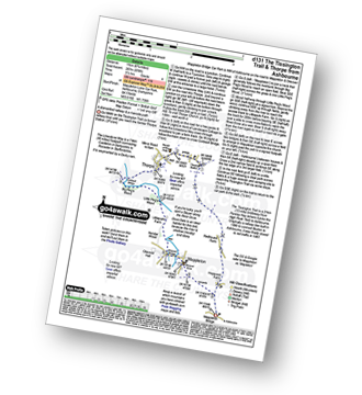
Walk d131 The Tissington Trail and Thorpe from Ashbourne

A dismantled railway & a riverside path

Download GPS Waypoint Data for walk d131
Download GPX Waypoint Data for walk d131
Download Map and Route Details for walk d131

Vital Statistics:

Length:6.75 miles (11 km)
Ascent:876ft (267m)
Time:3½ hrs
Grade:Grade 4 Walking Moderate
Walk 11 Walking Bootprint Icon

Walk d140 The Tissington Trail and Dove Dale from Ashbourne

A long but rewarding walk

Download GPS Waypoint Data for walk d140
Download GPX Waypoint Data for walk d140
Download Map and Route Details for walk d140

Vital Statistics:

Length:12.25 miles (19.5 km)
Ascent:1,930ft (588m)
Time:6½ hrs
Grade:Grade 6 Walking Moderate
Walk 12 Walking Bootprint Icon

Walk le102 Sproxton and Coston from Buckminster

Quiet tracks and paths with fine views

Download GPS Waypoint Data for walk le102
Download GPX Waypoint Data for walk le102
Download Map and Route Details for walk le102

Vital Statistics:

Length:7.25 miles (11.5 km)
Ascent:515ft (157m)
Time:3 hrs
Grade:Grade 3 Walking Easy
Walk 13 Walking Bootprint Icon

Walk gl103 Longborough, Donnington and Broadwell from Moreton-in-Marsh

Lovely country walking through the Cotswolds

Download GPS Waypoint Data for walk gl103
Download GPX Waypoint Data for walk gl103
Download Map and Route Details for walk gl103

Vital Statistics:

Length:10.25 miles (16.5 km)
Ascent:463ft (141m)
Time:4.25hrs
Grade:Grade 3 Walking Easy
Walk 14 Walking Bootprint Icon

Walk s226 Blore, Ilam, The River Manifold and The River Dove from Mappleton (aka Mapleton)

An easy walk with fine views

Download GPS Waypoint Data for walk s226
Download GPX Waypoint Data for walk s226
Download Map and Route Details for walk s226

Vital Statistics:

Length:6.5 miles (10.5 km)
Ascent:745ft (227m)
Time:3.25hrs
Grade:Grade 3 Walking Easy
Walk 15 Walking Bootprint Icon

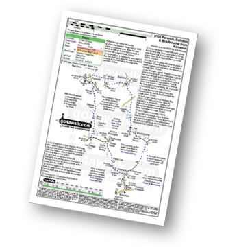
Walk d150 Parwich, Ballidon and Bradbourne from Kniveton

A stroll through rolling hill country

Download GPS Waypoint Data for walk d150
Download GPX Waypoint Data for walk d150
Download Map and Route Details for walk d150

Vital Statistics:

Length:8 miles (12.5 km)
Ascent:1,010ft (305m)
Time:4 hrs
Grade:Grade 4 Walking Moderate
Walk 16 Walking Bootprint Icon

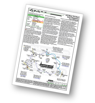
Walk s212 Blore, The River Dove and Mappleton from Swinscoe

Lovely Staffordshire dales

Download GPS Waypoint Data for walk s212
Download GPX Waypoint Data for walk s212
Download Map and Route Details for walk s212

Vital Statistics:

Length:6 miles (9.5 km)
Ascent:918ft (280m)
Time:3.25hrs
Grade:Grade 4 Walking Moderate
Walk 17 Walking Bootprint Icon

Walk d106 A Circuit of Carsington Water

Easy walking in a twitcher's paradise

Download GPS Waypoint Data for walk d106
Download GPX Waypoint Data for walk d106
Download Map and Route Details for walk d106

Vital Statistics:

Length:8.25 miles (13 km)
Ascent:843ft (257m)
Time:3.75hrs
Grade:Grade 4 Walking Moderate
Walk 18 Walking Bootprint Icon

Walk d324 Tissington and Thorpe from Fenny Bentley

A short stroll on gently rolling hills

Download GPS Waypoint Data for walk d324
Download GPX Waypoint Data for walk d324
Download Map and Route Details for walk d324

Vital Statistics:

Length:4 miles (6.5 km)
Ascent:508ft (155m)
Time:2 hrs
Grade:Grade 2 Walking Easy
Walk 19 Walking Bootprint Icon

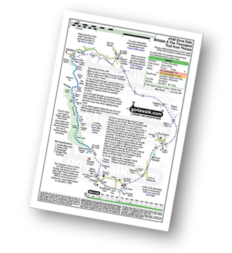
Walk d149 Dove Dale, Milldale and The Tissington Trail from Thorpe

Absolutely stunning walk

Download GPS Waypoint Data for walk d149
Download GPX Waypoint Data for walk d149
Download Map and Route Details for walk d149

Vital Statistics:

Length:9.75 miles (15.5 km)
Ascent:735ft (224m)
Time:5.25hrs
Grade:Grade 4 Walking Moderate
Walk 20 Walking Bootprint Icon

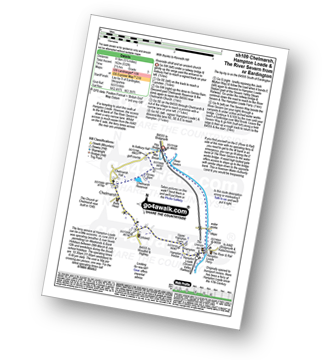
Walk sh109 Chelmarsh and Hampton Loade from Eardington

Riverside stroll and an ancient church

Download GPS Waypoint Data for walk sh109
Download GPX Waypoint Data for walk sh109
Download Map and Route Details for walk sh109

Vital Statistics:

Length:5.25 miles (8.5 km)
Ascent:532ft (162m)
Time:2½ hrs
Grade:Grade 3 Walking Easy
Walk 21 Walking Bootprint Icon

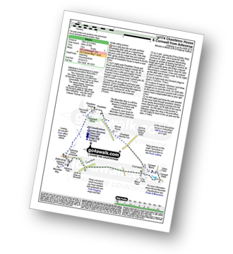
Walk gl174 Chastleton House and Cornwell from Adlestrop

Gentle rolling scenery

Download GPS Waypoint Data for walk gl174
Download GPX Waypoint Data for walk gl174
Download Map and Route Details for walk gl174

Vital Statistics:

Length:6.25 miles (10 km)
Ascent:670ft (204m)
Time:3 hrs
Grade:Grade 3 Walking Easy
Walk 22 Walking Bootprint Icon

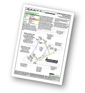
Walk gl126 Chastleton House from Adlestrop

Easy country walking

Download GPS Waypoint Data for walk gl126
Download GPX Waypoint Data for walk gl126
Download Map and Route Details for walk gl126

Vital Statistics:

Length:3.75 miles (6 km)
Ascent:394ft (120m)
Time:1.75hrs
Grade:Grade 2 Walking Easy
Walk 23 Walking Bootprint Icon

Walk gl111 Chastleton House, Cornwell, Daylesford and Lower Oddington from Adlestrop

Gentle rolling scenery

Download GPS Waypoint Data for walk gl111
Download GPX Waypoint Data for walk gl111
Download Map and Route Details for walk gl111

Vital Statistics:

Length:9 miles (14.5 km)
Ascent:801ft (244m)
Time:4.25hrs
Grade:Grade 4 Walking Moderate
Walk 24 Walking Bootprint Icon

Walk gl213 Cornwell, Daylesford and Lower Oddington from Adlestrop

Gentle rolling scenery

Download GPS Waypoint Data for walk gl213
Download GPX Waypoint Data for walk gl213
Download Map and Route Details for walk gl213

Vital Statistics:

Length:8.25 miles (13 km)
Ascent:696ft (212m)
Time:3.75hrs
Grade:Grade 4 Walking Moderate
Walk 25 Walking Bootprint Icon

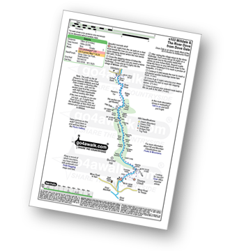
Walk s103 Milldale and The River Dove from Dove Dale

Beautiful riverside stroll

Download GPS Waypoint Data for walk s103
Download GPX Waypoint Data for walk s103
Download Map and Route Details for walk s103

Vital Statistics:

Length:6.25 miles (10 km)
Ascent:623ft (190m)
Time:3 hrs
Grade:Grade 2 Walking Easy
Walk 26 Walking Bootprint Icon

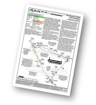
Walk d233 Alsop en le Dale from Tissington

Easy walking in lovely scenery

Download GPS Waypoint Data for walk d233
Download GPX Waypoint Data for walk d233
Download Map and Route Details for walk d233

Vital Statistics:

Length:6.25 miles (10 km)
Ascent:941ft (287m)
Time:3.25hrs
Grade:Grade 4 Walking Moderate
Walk 27 Walking Bootprint Icon

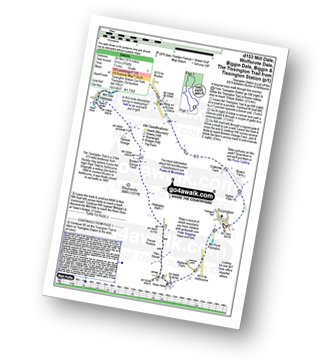
Walk d153 Mill Dale, Wolfscote Dale, Biggin Dale, Biggin and The Tissington Trail from Tissington Station

A long but easy walk through fine scenery

Download GPS Waypoint Data for walk d153
Download GPX Waypoint Data for walk d153
Download Map and Route Details for walk d153

Vital Statistics:

Length:15.5 miles (24.5 km)
Ascent:1,742ft (531m)
Time:7.25hrs
Grade:Grade 7 Walking Hard
Walk 28 Walking Bootprint Icon

Walk d137 Tissington Trail and Parwich from Tissington

An easy walk with little climbing

Download GPS Waypoint Data for walk d137
Download GPX Waypoint Data for walk d137
Download Map and Route Details for walk d137

Vital Statistics:

Length:8.5 miles (13.5 km)
Ascent:1,099ft (335m)
Time:4.25hrs
Grade:Grade 5 Walking Moderate
Walk 29 Walking Bootprint Icon

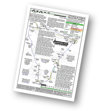
Walk d175 Alsop en le Dale and Parwich from Tissington

An easy walk in stunning Derbyshire

Download GPS Waypoint Data for walk d175
Download GPX Waypoint Data for walk d175
Download Map and Route Details for walk d175

Vital Statistics:

Length:9 miles (14.5 km)
Ascent:1,453ft (446m)
Time:4.75hrs
Grade:Grade 5 Walking Moderate
Walk 30 Walking Bootprint Icon

Walk d283 Alsop en le Dale and The Tissington Trail from Tissington

An easy, mainly level walk in beautiful Derbyshire

Download GPS Waypoint Data for walk d283
Download GPX Waypoint Data for walk d283
Download Map and Route Details for walk d283

Vital Statistics:

Length:7.25 miles (12.5 km)
Ascent:1,056ft (322m)
Time:3.75hrs
Grade:Grade 4 Walking Moderate


Follow go4awalk.com on Twitter Follow go4awalk.com on Facebook