2 easy-to-follow walk route maps of all grades in The River Tay to Rannoch Moor region of Scotland
Two easy-to-follow walk route maps of all grades in The River Tay to Rannoch Moor region of Scotland in Walk Grade Order
The River Tay to Rannoch Moor is the area enclosed by an imaginary line connecting:
- Rannoch Station to Pitlochry via the River Gaur, Bridge of Ericht, Killichonan, Loch Rannoch, Dunalastair, Tummel Bridge & Loch Tummel to the North
- Pitlochry to Ballinluig via the A9 to the North East
- Ballinluig to Crianlarich via the A824 through Aberfeldy, Loch Tay & Killin and then the A85 though Glen Dochart to the South
- Crianlarich to Rannoch Station via the the railway line through Strath Fillan, Tyndrum & Bridge of Orchy to the West
Tap/mouse over a coloured circle (1-3 easy walks, 4-6 moderate walks, 7-9 hard walks) and click to select.
Not familiar with the The River Tay to Rannoch Moor region of Scotland?
See these 2 walks in The River Tay to Rannoch Moor on an interactive Google Map
   |
Vital Statistics:
| Length: | 2.75 miles (4.5 km) |
| Ascent: | 587 ft (179 m) |
| Time: | 1.75 hrs |
| Grade: |  |
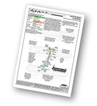
Route Summary:
Aberfeldy - The Rob Roy Way - Moness Burn - Waterfalls - Moness Dun Wood - Birks of Aberfeldy - Upper Moness Falls - Falls of Moness - Moness Den - Aberfeldy
|
Vital Statistics:
| Length: | 2.75 miles (4.5 km) |
| Ascent: | 82 ft (25 m) |
| Time: | 1 hrs |
| Grade: |  |


