24 easy to follow walk route maps of all grades that include part of The Dales Way

The Dales Way is a 130km (81 miles) linear footpath connecting Ilkley in West Yorkshire, England with Bowness-On-Windermere in Cumbria, England. The Dales Way is waymarked by named posts.


Not familiar with The Dales Way?

See these 24 walks that include part of The Dales Way on an interactive Google Map


See this list of walks, routes & maps in:

Grade Order | Length Order | Time Order | Walk Number or Start Location Order
NB. To reverse (toggle) this order, click Grade Order again


Walk 1 Walking Bootprint Icon

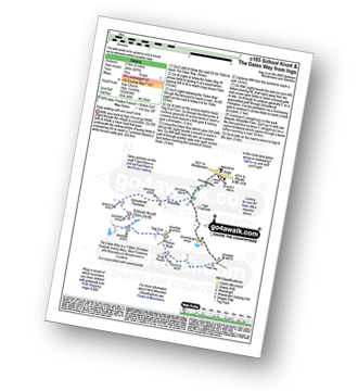
Walk c185 School Knott and The Dales Way from Ings

Easy walking on clear paths

Vital Statistics:

Length:6 miles (9.5 km)
Ascent:531 ft (246 m)
Time:2½ hrs
Grade:(Easy)
Walk 2 Walking Bootprint Icon

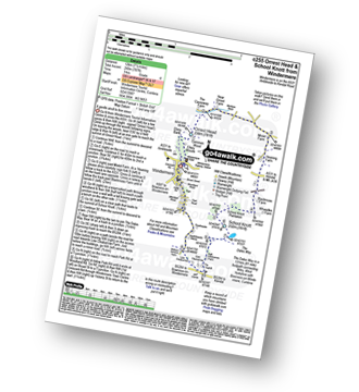
Walk c255 Orrest Head and School Knott from Windermere

A gentle stroll to fine views

Vital Statistics:

Length:7.5 miles (12 km)
Ascent:787 ft (240 m)
Time:3½ hrs
Grade:(Moderate)
Walk 3 Walking Bootprint Icon

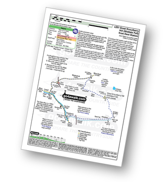
Walk c261 Great Knoutberry Hill (Widdale Fell) from Dent Station

Terrific panoramic views

Vital Statistics:

Length:6.25 miles (10 km)
Ascent:1,548 ft (472 m)
Time:4 hrs
Grade:(Moderate)
Walk 4 Walking Bootprint Icon

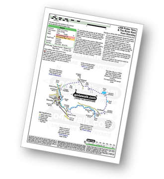
Walk c268 Potter Tarn, and The River Kent from Staveley

Easy walking with some great views

Vital Statistics:

Length:5.5 miles (8.5 km)
Ascent:974 ft (297 m)
Time:3 hrs
Grade:(Moderate)
Walk 5 Walking Bootprint Icon

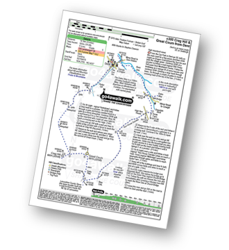
Walk c300 Crag Hill and Great Coum from Dent

High moorland views

Vital Statistics:

Length:9 miles (14.5 km)
Ascent:19,112 ft (583 m)
Time:5.25hrs
Grade:(Moderate)
Walk 6 Walking Bootprint Icon

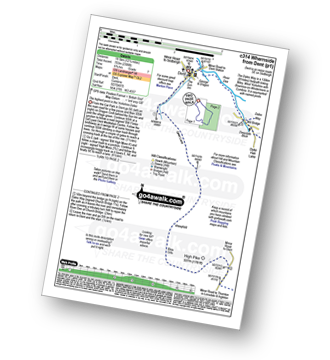
Walk c314 Whernside from Dent

The highest point in the Yorkshire Dales

Vital Statistics:

Length:12.25 miles (19.5 km)
Ascent:2,306 ft (703 m)
Time:6.70hrs
Grade:(Hard)
Walk 7 Walking Bootprint Icon

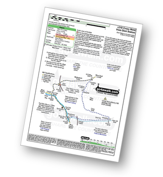
Walk c319 Cross Wold from Dent Railway Station

Terrific views of Dentdale

Vital Statistics:

Length:6.5 miles (10.5 km)
Ascent:1,227 ft (374 m)
Time:3.75hrs
Grade:(Moderate)
Walk 8 Walking Bootprint Icon

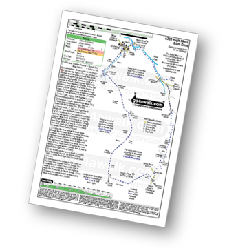
Walk c326 High Moss from Dent

Fine dale views - Green Lane can be very boggy

Vital Statistics:

Length:9.5 miles (15 km)
Ascent:1,404 ft (428 m)
Time:5 hrs
Grade:(Moderate)
Walk 9 Walking Bootprint Icon

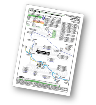
Walk c344 Aye Gill Pike and Snaizwold Fell from Dent

Fabulous views of The Howgills and Dentdale

Vital Statistics:

Length:12.75 miles (20.5 km)
Ascent:1,830 ft (558 m)
Time:6½ hrs
Grade:(Moderate)
Walk 10 Walking Bootprint Icon

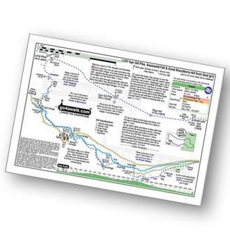
Walk c357 Aye Gill Pike, Snaizwold Fell and Great Knoutberry Hill from Dent

Vital Statistics:

Length:18 miles (29 km)
Ascent:2,945 ft (898 m)
Time:9½ hrs
Grade:(Hard)
Walk 11 Walking Bootprint Icon

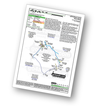
Walk c374 Green Lane from Dent

Easy walks to high moorland views

Vital Statistics:

Length:5.5 miles (8.5 km)
Ascent:1,004 ft (306 m)
Time:3 hrs
Grade:(Moderate)
Walk 12 Walking Bootprint Icon

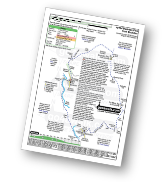
Walk ny104 Buckden Pike from Buckden

Stunning Wharfedale - can be a little boggy

Vital Statistics:

Length:9 miles (14.5 km)
Ascent:1,766 ft (538 m)
Time:5 hrs
Grade:(Moderate)
Walk 13 Walking Bootprint Icon

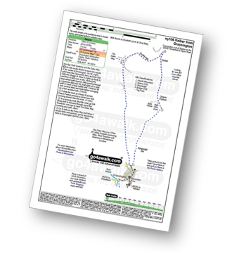
Walk ny106 Kelber from Grassington

Iron Age Field Systems and fine Limestone Crags

Vital Statistics:

Length:7.5 miles (12 km)
Ascent:876 ft (267 m)
Time:3½ hrs
Grade:(Moderate)
Walk 14 Walking Bootprint Icon

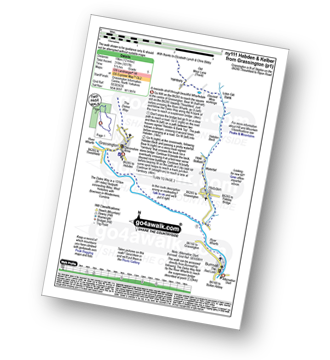
Walk ny111 Hebden and Kelber from Grassington

A riverside stroll through beautiful Wharfedale

Vital Statistics:

Length:11.5 miles (18.5 km)
Ascent:1,017 ft (310 m)
Time:5.25hrs
Grade:(Moderate)
Walk 15 Walking Bootprint Icon

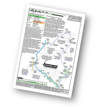
Walk ny121 Simon's Seat from Barden Bridge, Wharfedale

Superb views over beautiful Wharfedale

Vital Statistics:

Length:9 miles (14.5 km)
Ascent:1,805 ft (550 m)
Time:5.25hrs
Grade:(Moderate)
Walk 16 Walking Bootprint Icon

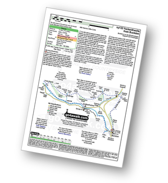
Walk ny133 Yockenthwaite from Buckden

Stunning Wharfedale

Vital Statistics:

Length:7.25 miles (11.5 km)
Ascent:991 ft (302 m)
Time:3½ hrs
Grade:(Moderate)
Walk 17 Walking Bootprint Icon

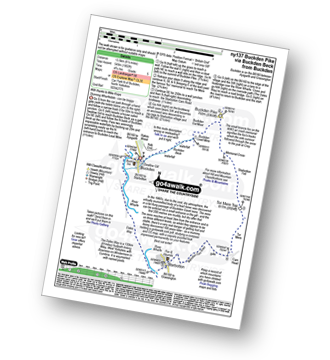
Walk ny137 Buckden Pike via Buckden Beck from Buckden

Stunning Wharfedale - a different but superior route onto Buckden Pike

Vital Statistics:

Length:8.5 miles (13.5 km)
Ascent:1,802 ft (549 m)
Time:4.75hrs
Grade:(Moderate)
Walk 18 Walking Bootprint Icon

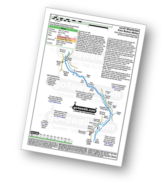
Walk ny147 Wharfedale from Bolton Abbey, Wharfedale

Stunning river walk

Vital Statistics:

Length:7.25 miles (11.5 km)
Ascent:210 ft (64 m)
Time:3 hrs
Grade:(Easy)
Walk 19 Walking Bootprint Icon

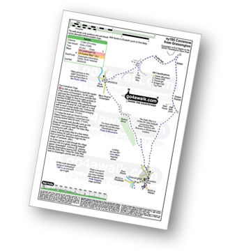
Walk ny195 Kelber Gate and Conistone from Grassington

Some fine Limestone Crags

Vital Statistics:

Length:8.5 miles (13.5 km)
Ascent:1,158 ft (353 m)
Time:4.25hrs
Grade:(Moderate)
Walk 20 Walking Bootprint Icon

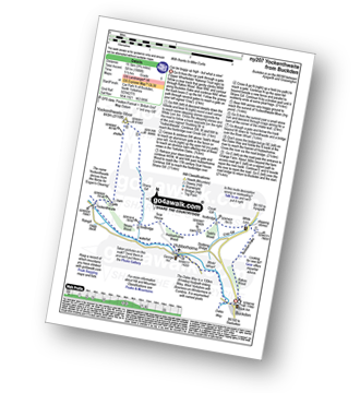
Walk ny207 Yockenthwaite Moor from Buckden

Can be boggy up high - but what a view!

Vital Statistics:

Length:9.5 miles (15 km)
Ascent:1,906 ft (581 m)
Time:5½ hrs
Grade:(Moderate)
Walk 21 Walking Bootprint Icon

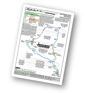
Walk ny273 Cockbur Ford, Hebden and The River Wharfe from Grassington

Beautiful Wharfedale

Vital Statistics:

Length:6.75 miles (11 km)
Ascent:607 ft (185 m)
Time:3.25hrs
Grade:(Easy)
Walk 22 Walking Bootprint Icon

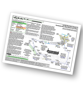
Walk wy102 West Buck Stones and Rombalds Moor (Ilkley Moor) from Ilkley

Easy moorland walking with good views

Vital Statistics:

Length:7.75 miles (12.5 km)
Ascent:1,057 ft (322 m)
Time:4 hrs
Grade:(Moderate)
Walk 23 Walking Bootprint Icon

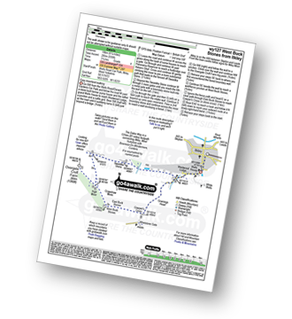
Walk wy127 West Buck Stones (Ilkley Moor) from Ilkley

Easy moorland walking

Vital Statistics:

Length:6.25 miles (10 km)
Ascent:935 ft (285 m)
Time:3.25hrs
Grade:(Moderate)
Walk 24 Walking Bootprint Icon

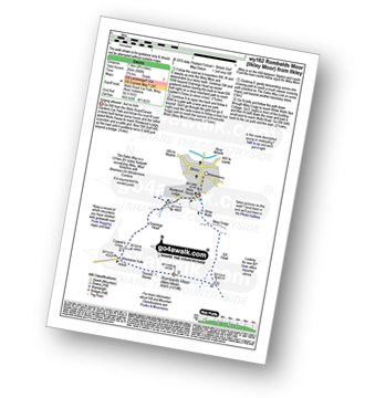
Walk wy162 West Buck Stones (Ilkley Moor) from Ilkley

Easy moorland walking

Vital Statistics:

Length:4.75 miles (7.5 km)
Ascent:880 ft (268 m)
Time:2.75hrs
Grade:(Easy)

See this list of walks, routes & maps in:

Grade Order | Length Order | Time Order | Walk Number or Start Location Order
NB. To reverse (toggle) this order, click Grade Order again


Not familiar with The Dales Way?

See these 24 walks that include part of The Dales Way on an interactive Google Map


Do not miss our pick of the Best Walks in the UK


Follow go4awalk.com on Twitter Follow go4awalk.com on Facebook


Home


Find new Friends to go walking with

Walk all 214 Wainwrights in just 59 Walks. Download GPS Waypoints - Great Walks you must not miss!

Walk The Yorkshire Three Peaks Challenge Walk - All the Latest Route Information, GPS Waypoints and Split Times to keep you on Schedule

Walk The British Three Peaks Challenge Walk - All the Latest Route Information and GPS Waypoints

See our pick of The Best Walks in The Lake District - Great Walks you must not miss!

Walk our pick of the Best Lake District Ridge Walks - Great Walks you must not miss!

Walk our pick of the Best Lake District Walks to do in the rain - Great Walks you must not miss!

Walk our pick of The Best Walks in Snowdonia - Great Walks you must not miss!

Walk our pick of The Best Ridge Walks in Wales - Walks you must not miss!

Walk our pick of The Best Walks in The Brecon Beacons - Great Walks you must not miss!

Walk our pick of The Best Walks in The Yorkshire Dales - Walks you must not miss!

Walk our pick of The Best Walks in The Peak District - Walks you must not miss!

Walk our pick of The Best Walks in The Forest of Bowland - Walks you must not miss!

Walk our pick of The Best Walks in Shropshire - Walks you must not miss!

Walk our pick of The Best Walks in Cheshire - Walks you must not miss!

Walk our pick of The Best Walks in Lancashire - Walks you must not miss!

Not sure where to walk next? Try Peak Bagging - Great Walks you must not miss!

Not sure where to walk next? Walk part of a National Trail - Great Walks you must not miss!

Walks with Downloadable and Uploadable GPS Waypoint Data

Walking Kit and Gear Tested by Walkers

Full Site Search