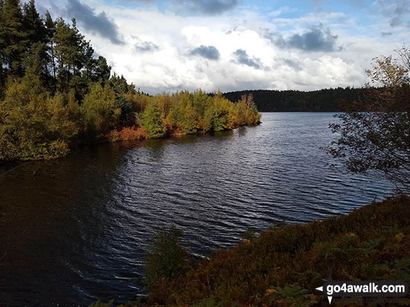
Langsett Reservoir
The Dark Peak Area,
The Peak District National Park,
South Yorkshire, England
See views like this by using any of these 3 easy-to-follow circular walk route maps:
   |
Vital Statistics:
| Length: | 3.75 miles (6.5 km) |
| Ascent: | 673ft (205m) |
| Time: | 2.25hrs |
| Grade: |  |
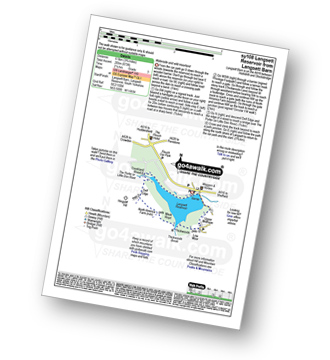
Route Summary:
Langsett Barn - Langsett - Langsett Reservoir Dam - Upper Midhope - Thickwoods - Thickwoods Brook - North America Farm - Delf Edge - Langsett Reservoir - The Porter or Little Don River - Crookland Wood - Langsett Reservoir - Langsett Barn
|
Vital Statistics:
| Length: | 7.5 miles (12 km) |
| Ascent: | 1,118ft (360m) |
| Time: | 4 hrs |
| Grade: |  |

Route Summary:
Langsett Barn - Langsett - Langsett Reservoir - Langsett Reservoir Dam - Upper Midhope - Thickwoods - Thickwoods Brook - Fenny Common Ings - Fenny Common - Pike Lowe Stones - Pike Lowe - Candlerush Edge - Sugden Top - Lost Lad (Langsett) - Mickleden Edge (Langsett) - Haslingshaw Hingcliff Common - Delf Edge - Langsett Reservoir - The Porter or Little Don River - Crookland Wood - Langsett Reservoir - Langsett Barn
|
Vital Statistics:
| Length: | 11.5 miles (18.5 km) |
| Ascent: | 1,674ft (510m) |
| Time: | 6 hrs |
| Grade: |  |
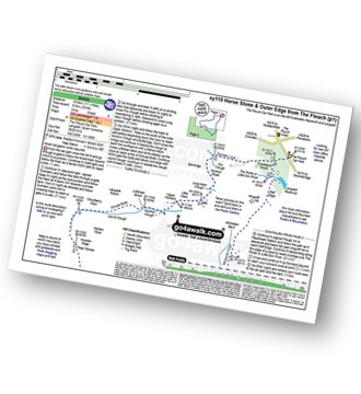
Route Summary:
The Flouch Car Park - Crookland Wood - Swinden Lane - Fox Clough - Langsett Moors - Barmings - Hordron Road - Long Moor Clough - Hordron Clough - The Porter or Little Don River - Laund Clough - Harden Moor - Howden Edge - Hoar Stones - Horse Stone (Horse Stone Naze) - Stainery Clough Head - Howden Moors - Crow Stones - Crow Stones Edge - Outer Edge - Cut Gate End - Cut Gate Path - Mickleden Edge - Delf Edge - Langsett Reservoir - The Porter or Little Don River - The Flouch.
Send us your photographs and pictures of walks and hikes in the British countryside
If you would like to see your digital photographs as part of this collection, please send them as email attachments (configured for any computer) along with your name to:
and we shall do our best to publish them.
(Guide Resolution = 300dpi. At least = 587 pixels (wide) x 440 pixels (high).)

You can also submit photos via our Facebook Page.
NB. Please indicate where each photo was taken.
NB. To see photographs and pictures from a particular walk choose your walk from Walks or use our Walk Search facility.
To see photographs and pictures on, of or from a particular Mountain, Peak, Top or Hill select from Peaks & Mountains' or enter the Mountain, Peak, Top or Hill Name into our 'Photo Search facility.


