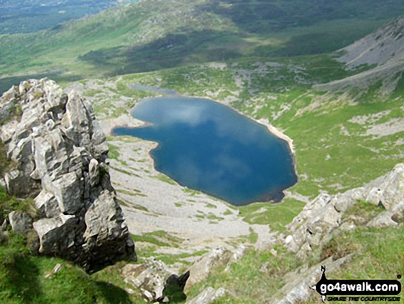
Llyn y Gadair from The Pony Path up Cadair Idris (Penygadair)
Snowdonia National Park,
Gwynedd, Wales
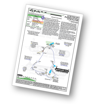
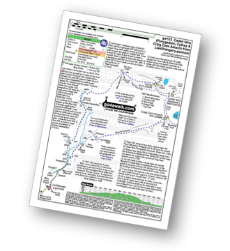
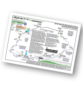
See views like this by using any of these 5 easy-to-follow circular walk route maps:
   |
Vital Statistics:
| Length: | 4.5 miles (7 km) |
| Ascent: | 1,454ft (443m) |
| Time: | 4 hrs |
| Grade: |  |

Route Summary:
Llyn Gwernan - The Pony Path - Llyn y Cadair - The Fox's Path (lower Section) - Llyn Gafr - Llyn Gwernan
|
Vital Statistics:
| Length: | 6 miles (9.5 km) |
| Ascent: | 2,609ft (975m) |
| Time: | 5 hrs |
| Grade: |  |
Route Summary:
Llyn Gwernan - Llyn Gafr - Llyn y Cadair - The Fox's Path - Cadair Idris (Penygadair) - The Pony Path - Cyfrwy - Rhiw Gwerdydd - Llyn Gwernan
|
Vital Statistics:
| Length: | 10.5 miles (17 km) |
| Ascent: | 3,627ft (1,105m) |
| Time: | 7½ hrs |
| Grade: |  |
Route Summary:
Llanfihangel-y-pennant - Afon Cadair - Tynyfach - Gwastadfryn - Hafotty Gwastaffryn - Rhiw Gwerdydd - The Pony Path - Cyfrwy - Cadair Idris (Penygadair) - Craig Cau - Craig Cwm Amarch - Mynydd Pencoed - Pencoed - Llanfihangel-y-pennant
|
Vital Statistics:
| Length: | 11.25 miles (18.5 km) |
| Ascent: | 3,558ft (1,084m) |
| Time: | 7.75hrs |
| Grade: | |
Route Summary:
Llyn Gwernan - The Pony Path - Rhiw Gwerdydd - Cyfrwy - Cadair Idris (Penygadair) - Mynydd Moel - Gau Graig - Bwlch-coch - Pandy Gader - Afon Arran - Rhydwen - Llyn Gwernan
|
Vital Statistics:
| Length: | 9.75 miles (15.5 km) |
| Ascent: | 4,247ft (1,294m) |
| Time: | 7.75hrs |
| Grade: |  |
Route Summary:
Llyn Gwernan - Llyn Gafr - The Fox's Path - Cadair Idris (Penygadair) - Mynydd Moel - Craig Cwm Amarch - Craig Cau - The Pony Path - Cyfrwy - Rhiw Gwerdydd - Llyn Gwernan
Send us your photographs and pictures of walks and hikes in the British countryside
If you would like to see your digital photographs as part of this collection, please send them as email attachments (configured for any computer) along with your name to:
and we shall do our best to publish them.
(Guide Resolution = 300dpi. At least = 587 pixels (wide) x 440 pixels (high).)

You can also submit photos via our Facebook Page.
NB. Please indicate where each photo was taken.
NB. To see photographs and pictures from a particular walk choose your walk from Walks or use our Walk Search facility.
To see photographs and pictures on, of or from a particular Mountain, Peak, Top or Hill select from Peaks & Mountains' or enter the Mountain, Peak, Top or Hill Name into our 'Photo Search facility.

