
![]()
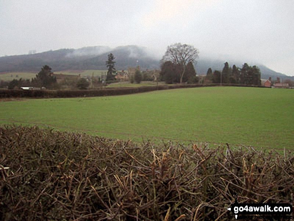
View Edge (Weo Edge)
321m (1054ft)
The Shropshire Hills, Shropshire, England

Not familiar with this top?
You can walk/hike to the top of View Edge (Weo Edge) by using either of these 2 easy‑to‑follow route maps:
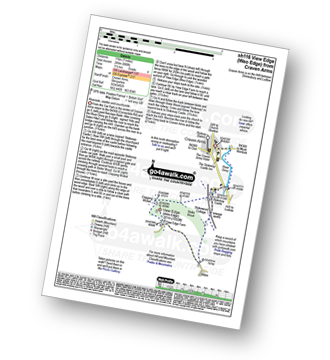
Walk sh116 View Edge (Weo Edge) from Craven Arms
Riverside, castles and countryside
   |
|---|
Vital Statistics:
| Length: | 7ml (11km) |
|---|---|
| Ascent: | 880ft (268m) |
| Time: | 3½ hrs |
| Grade: |  (Moderate) (Moderate) |
Route Summary:
Craven Arms - River Onny - Hills and Dales Hike - Stokesay Castle - Clapping Wicket - View Edge (Weo Edge) - Aldon - Stokesay Castle - River Onny - Craven Arms
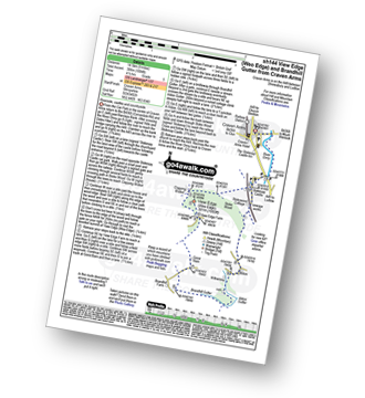
Walk sh144 View Edge (Weo Edge) and Brandhill Gutter from Craven Arms
Riverside, castles and countryside
|
|---|
Vital Statistics:
| Length: | 9ml (14.5km) |
|---|---|
| Ascent: | 1,004ft (306m) |
| Time: | 4½ hrs |
| Grade: |  (Moderate) (Moderate) |
Route Summary:
Craven Arms - River Onny - Hills and Dales Hike - Stokesay Castle - Clapping Wicket - View Edge (Weo Edge) - Gorst Barn - Brandhill Gutter - Aldon Gutter - Aldon - Stokesay Castle - River Onny - Craven Arms
See View Edge (Weo Edge) and the surrounding tops on our free-to-access 'Google Style' Peak Bagging Map:
The Shropshire Hills
Less data - quicker to download
See View Edge (Weo Edge) and the surrounding tops on our unique, downloadable, PDF Peak Bagging Map:

NB: Whether you print off a copy or download it to your phone, this PDF Peak Baggers' Map might prove incredibly useful when your are up there on the tops and you cannot get a phone signal.
You can find View Edge (Weo Edge) & all the walks that climb it on these unique free-to-access Interactive Walk Planning Maps:
1:25,000 scale OS Explorer Map (orange/yellow covers):
1:50,000 scale OS Landranger Map (pink/magenta covers):
 Fellow go4awalkers who have already walked, climbed, scaled, summited, hiked & bagged View Edge (Weo Edge)
Patrick Rogozinski, Peter Bourne and Mark Davidson have all walked, climbed & bagged View Edge (Weo Edge).
To add (or remove) your name and experiences on this page - Log On and edit your Personal Mountain Bagging Record
More Photographs & Pictures of views from, on, or of, View Edge (Weo Edge)

Send us your photographs and pictures on, of, or from View Edge (Weo Edge)
If you would like to add your walk photographs and pictures to this page, please send them as email attachments (configured for any computer) along with your name to:
and we shall do our best to publish them.
(Guide Resolution = 300dpi. At least = 660pixels (wide) x 440 pixels (high).)

You can also submit photos via our Facebook Page.
NB. Please indicate where each photo was taken and whether you wish us to credit your photos with a Username or your First Name/Last Name.


