
![]()
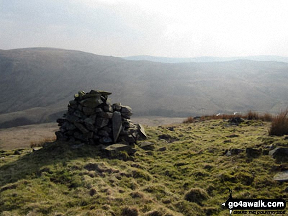
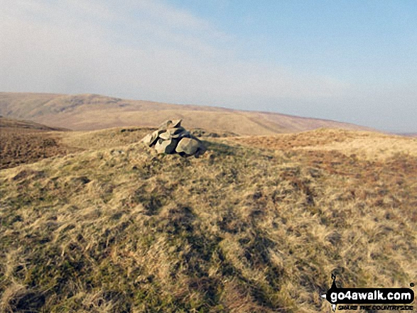
Robin Hood (Crookdale)
493m (1618ft)
The Far Eastern Marches, The Lake District, Cumbria, England
Tap/mouse over a coloured circle (1-3 easy walks, 4-6 moderate walks, 7-9 hard walks) and click to select.

Not familiar with this top?
You can walk/hike to the top of Robin Hood (Crookdale) by using this easy‑to‑follow route map:
Walk c322 The Crookdale Round
Boggy - but you might see more deer than people
   |
|---|
Vital Statistics:
| Length: | 9.5ml (15km) |
|---|---|
| Ascent: | 2,050ft (625m) |
| Time: | 5½ hrs |
| Grade: |  (Moderate) (Moderate) |

Route Summary:
Demings Moss - Shap - Whatshaw Common - Little Yarlside - Great Yarlside - Harrop Pike - Grey Crag (Sleddale) - Lord's Seat (Crookdale) - Robin Hood (Crookdale) - High House Bank - Demings Moss - Shap.
See Robin Hood (Crookdale) and the surrounding tops on our free-to-access 'Google Style' Peak Bagging Maps:
The Far Eastern Marches area of The Lake District National Park
Less data - quicker to download
The Whole of The Lake District National Park
More data - might take a little longer to download
A go4awalk.com downloadable Peak Bagging Map in PDF format featuring Robin Hood (Crookdale) should be available soon.
You can find Robin Hood (Crookdale) & all the walks that climb it on these unique free-to-access Interactive Walk Planning Maps:
1:25,000 scale OS Explorer Map (orange/yellow covers):
1:50,000 scale OS Landranger Map (pink/magenta covers):
 Fellow go4awalkers who have already walked, climbed, scaled, summited, hiked & bagged Robin Hood (Crookdale)
Angeline Grieveson walked up Robin Hood (Crookdale) on November 20th, 2022 [with] Dotty
Iain Jones climbed it on September 8th, 2020 [from/via/route] The Crookdale Round (Trail Run).
Trevor Williams bagged it on March 1st, 2019 [with] paul
Tracey Cowell hiked Robin Hood (Crookdale) on March 25th, 2018 [with] Anita and Teddy [weather] Sunny & Cloudy & cold on summits
Mark Davidson summited on October 31st, 2004 [with] Mike [weather] Bit grey & misty but with occasional sunshine
Christine Shepherd conquered it on March 19th, 2015 [from/via/route] Used walk c322 from Layby on the A6. [with] On my own [weather] Glorious Spring sunshine
Clare Houlihan, Louise Sandwith and Paul Booth have all walked, climbed & bagged Robin Hood (Crookdale).
To add (or remove) your name and experiences on this page - Log On and edit your Personal Mountain Bagging Record
More Photographs & Pictures of views from, on, or of, Robin Hood (Crookdale)

Send us your photographs and pictures on, of, or from Robin Hood (Crookdale)
If you would like to add your walk photographs and pictures to this page, please send them as email attachments (configured for any computer) along with your name to:
and we shall do our best to publish them.
(Guide Resolution = 300dpi. At least = 660pixels (wide) x 440 pixels (high).)

You can also submit photos via our Facebook Page.
NB. Please indicate where each photo was taken and whether you wish us to credit your photos with a Username or your First Name/Last Name.


