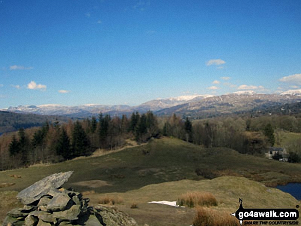
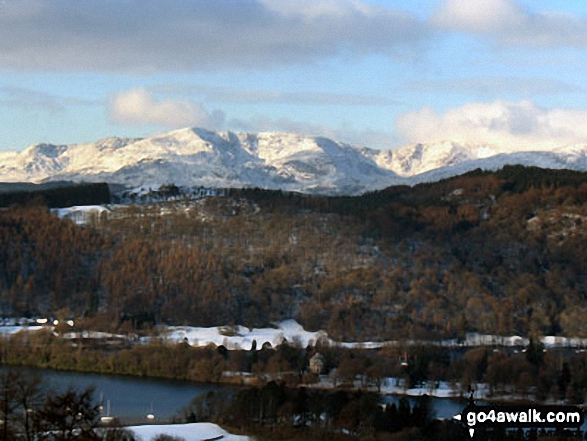
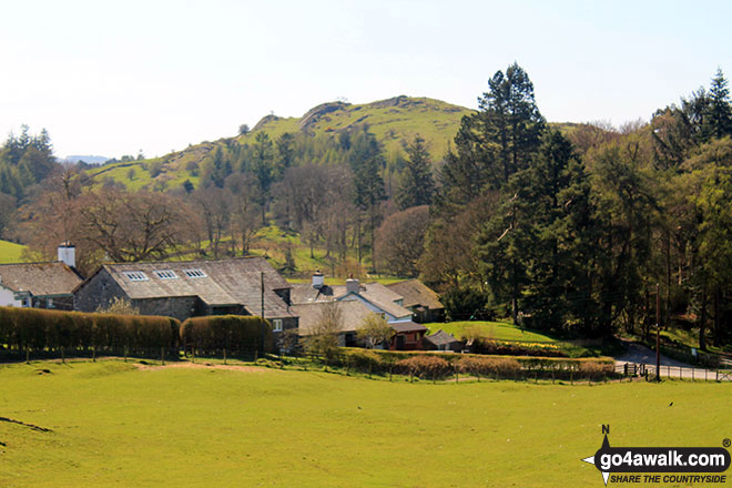
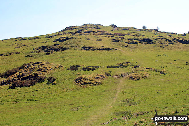
Wainwright Outlying Fell & OS Trig Point Icon

Brant Fell
191m (626ft)

The Southern Marches, The Lake District, Cumbria, England

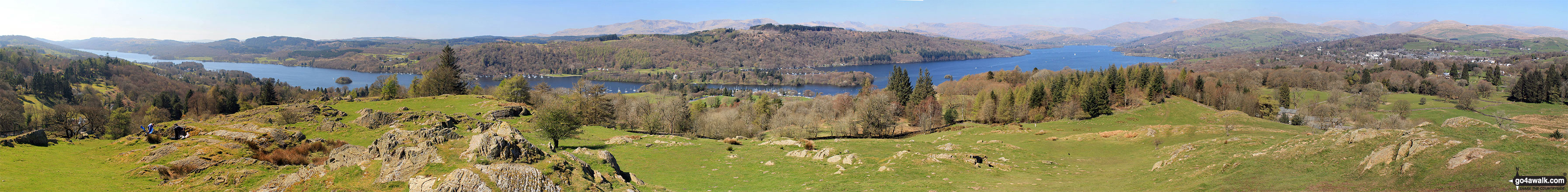
The summit of Brant Fell is marked by an Ordnance Survey Trig Point.


Record Brant Fell as Bagged, Climbed & Conquered


English Trig Point Icon


English Trig Point (Pillar)

Walk Brant Fell walking UK Mountains in The Southern Marches The Lake District National Park Cumbria, England

Brant Fell Summit

Photo: Andy Lyons

You can find Brant Fell & all the walks that climb it on these unique free-to-access Interactive Walk Planning Maps: (click/TAP to select)

The Lake District National Park


1:25,000 scale OS Explorer Map (the ones with orange/yellow covers):

OL6 The English Lakes - South Western area


1:50,000 scale OS Landranger Maps (the ones with pink/magenta covers):

96 Barrow-in-Furness & South Lakeland


97 Kendal & Morecambe, Windermere & Lancaster


See Brant Fell and the surrounding tops on our free-to-access 'Google Style' Peak Bagging Maps:

A go4awalk.com downloadable PDF Peak Bagging Map featuring Brant Fell should be available soon.


We will be adding easy-to-follow route maps up Brant Fell very soon.

Other walkers who hiked, climbed, bagged and summited Brant Fell Fellow go4awalkers who have already walked, climbed, summited & bagged Brant Fell

Adrian Howard walked up Brant Fell on June 2nd, 2013 [from/via/route] From PROW to East of summit.

Trevor Williams climbed Brant Fell on October 22nd, 2021 [from/via/route] Windermere [with] paul [weather] good

Dave Gay bagged Brant Fell on June 20th, 2018 [from/via/route] West Coast Railways providing an emergency service from Oxenholme following Northern Rails timetable mess... Walked from Windermere Station to Bowness & then followed the route in Wainwrights guide to Outlying Fells. [with] Solo [weather] Dry & sunny

Tracey Cowell hiked Brant Fell on April 26th, 2018 [with] Billy Foster

Neil Bennett summited Brant Fell on May 28th, 2017 [from/via/route] Walked from Brant Fell Road in Bowness town centre via the viewpoint at Post Knott. [with] Pam Bennett, Oliver Bennett, Thomas Bennett. [weather] Increasingly sunny after a cloudy start.

Lorraine Parkinson conquered Brant Fell on March 2nd, 2015 [from/via/route] School knott [with] Hubby and daughter [weather] Cloudy

Christine Shepherd scaled Brant Fell on April 3rd, 2013 [from/via/route] Walked from Ings [with] On my own [weather] Cold but sunny

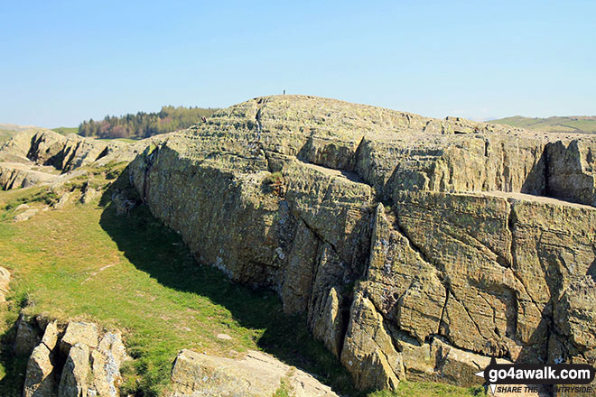
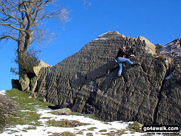
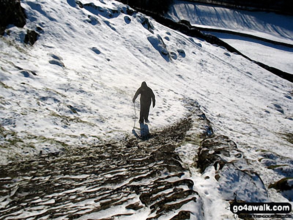
Michael Lee walked up Brant Fell on December 2nd, 2010 [from/via/route] Lickbarrow Road [with] Jill [weather] Sunny, cold heavy snow. - Bouldering too!

Ray O'hara climbed Brant Fell on February 22nd, 2012 [weather] Wet & misty

Paul Booth, Peter Thwaites, Louise Sandwith, David Preston, Mark Davidson, Adam Beeby and Louis Smith have all walked, climbed & bagged Brant Fell.

To add (or remove) your name and experiences on this page - Log On and edit your Personal Mountain Bagging Record


More Photographs & Pictures of views from, on or of Brant Fell

Bouldering on the summit of Brant Fell

Bouldering on the summit of Brant Fell

Photo: Mike Lee (5)

Climbing Brant Fell in the snow

Climbing Brant Fell in the snow

Photo: Mike Lee (3)

Lake Windermere and Bowness-on-Windermere from the summit of Brant Fell

Lake Windermere and Bowness-on-Windermere from the summit of Brant Fell

Photo: Andy Lyons (88)

Brant Fell summit cairn

Brant Fell summit cairn

Photo: Christine Shepherd (120)

The Southern Fells across Windermere from the summit of Brant Fell in the snow

The Southern Fells across Windermere from the summit of Brant Fell in the snow

Photo: Mike Lee (4)

Brant Fell from Matson Ground

Brant Fell from Matson Ground

Photo: Andy Lyons (95)

Brant Fell from Brantfell Farm

Brant Fell from Brantfell Farm

Photo: Andy Lyons (90)

Panoramic view from the summit of Brant Fell

Panoramic view from the summit of Brant Fell

Photo: Mike Lee (6)


Send us your photographs and pictures on, of, or from Brant Fell

If you would like to add your walk photographs and pictures featuring views from, on or of Brant Fell to this page, please send them as email attachments (configured for any computer) along with your name to:


and we shall do our best to publish them.

(Guide Resolution = 300dpi. At least = 660pixels (wide) x 440 pixels (high).)

Send us your photographs and pictures on, of, or from Brant Fell via Facebook

You can also submit photos via our Facebook Page.

NB. Please indicate where each photo was taken.


Do not miss our pick of the Best Walks in the UK


Follow go4awalk.com on Twitter Follow go4awalk.com on Facebook


Home


Find new Friends to go walking with

Walk all 214 Wainwrights in just 59 Walks. Download GPS Waypoints - Great Walks you must not miss!

Walk The Yorkshire Three Peaks Challenge Walk - All the Latest Route Information, GPS Waypoints and Split Times to keep you on Schedule

Walk The British Three Peaks Challenge Walk - All the Latest Route Information and GPS Waypoints

See our pick of The Best Walks in The Lake District - Great Walks you must not miss!

Walk our pick of the Best Lake District Ridge Walks - Great Walks you must not miss!

Walk our pick of the Best Lake District Walks to do in the rain - Great Walks you must not miss!

Walk our pick of The Best Walks in Snowdonia - Great Walks you must not miss!

Walk our pick of The Best Ridge Walks in Wales - Walks you must not miss!

Walk our pick of The Best Walks in The Brecon Beacons - Great Walks you must not miss!

Walk our pick of The Best Walks in The Yorkshire Dales - Walks you must not miss!

Walk our pick of The Best Walks in The Peak District - Walks you must not miss!

Walk our pick of The Best Walks in The Forest of Bowland - Walks you must not miss!

Walk our pick of The Best Walks in Shropshire - Walks you must not miss!

Walk our pick of The Best Walks in Cheshire - Walks you must not miss!

Walk our pick of The Best Walks in Lancashire - Walks you must not miss!

Not sure where to walk next? Try Peak Bagging - Great Walks you must not miss!

Not sure where to walk next? Walk part of a National Trail - Great Walks you must not miss!

Walks with Downloadable and Uploadable GPS Waypoint Data

Walking Kit and Gear Tested by Walkers

Full Site Search