
![]()
The Dodd
614m (2015ft)
The North Pennines, Northumberland, England
You can find The Dodd & all the walks that climb it on these unique free-to-access Interactive Walk Planning Maps: (click/TAP to select)
1:25,000 scale OS Explorer Map (the ones with orange/yellow covers):
1:50,000 scale OS Landranger Maps (the ones with pink/magenta covers):
The Dodd on our free-to-access 'Google Style' Peak Bagging Map:
See The Dodd and the surrounding tops on our downloadable PDF Peak Bagging Map:
   |
|---|
Vital Statistics:
| Length: | 6.25ml (10km) |
|---|---|
| Ascent: | 821ft (250m) |
| Time: | 3.25hrs |
| Grade: |  (Easy) (Easy) |
Route Summary:
Killhope Cross - Killhope Head - Black Hill - The Dodd - Smallburns Moor - Sunnyside Farm - Coalcleugh Farm - Mufton Hall - Carrshield Moor - Bridge Cleugh - Killhope Law - Killhope Head - Killhope Cross
 Fellow go4awalkers who have already walked, climbed, summited & bagged The Dodd
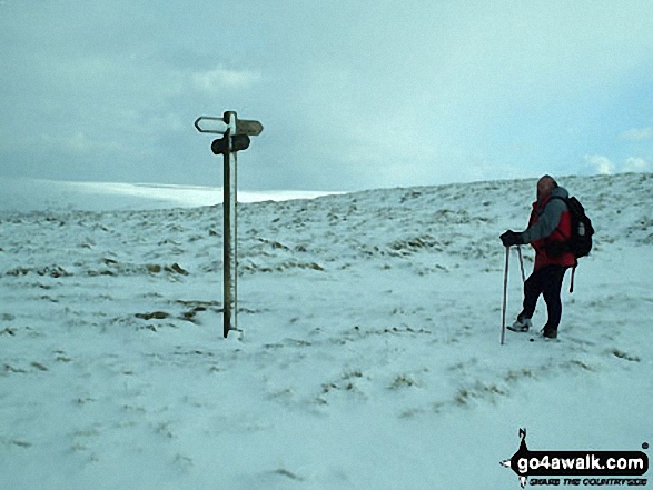
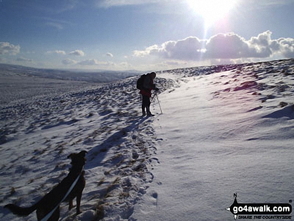
Sam Jones walked up The Dodd on May 27th, 2023 [from/via/route] From Coalcleugh following the track up to nab geocache then up to top & back via path past gorlock springs contoured round to join restricted byway back to car. Mostly overcast & breezy [with] Solo [weather] Mostly cloudy - Awesome views
Caroline Winter climbed The Dodd on August 20th, 2021 [from/via/route] Coalcleugh, Sunnyside, Issac Tea Trail, Dodds End, The Dodd [with] Becky [weather] Warm & humid - Pleasant walk, peat bog trotting to trig on top & then pacing back to find highest point
Angela Moroney bagged The Dodd on May 20th, 2021 [from/via/route] road [with] Jane ludders [weather] wind rain
Sarah Baker hiked The Dodd on December 29th, 2019 [with] Larry baker [weather] Cold
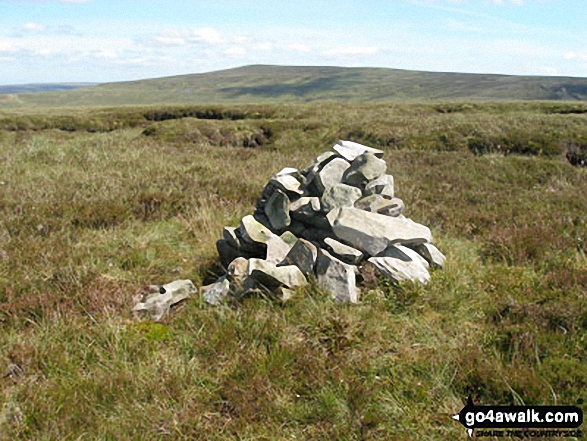
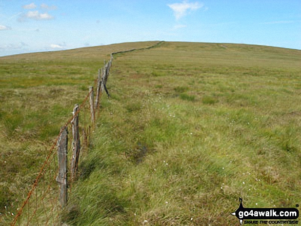
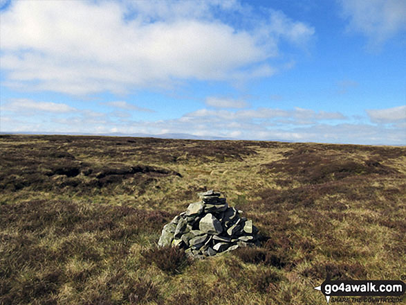
Kevin Foster summited The Dodd on March 2nd, 2019 [from/via/route] Nenthead. [with] Henry. [weather] Cloudy, turning to driving rain & a bitter cold wind. - Back in the car & a short drive to Nenthead to bag the final North Pennine top on my list - The Dodd. Usually, people talk about 'leaving the best until last' sadly I cannot say this was the case with The Dodd. Even the name is a bit of a joke because a flatter fell you will not find. At some disused quarries just before the junction with the road to Allenheads (named as The Rake on maps) I set off across Black Hill which is in fact a heathery bog!. After a small rise following the wall it turned sharply left (in the wrong direction) & I was left with no option but to head on in roughly the same direction over very rough ground with no paths. After approximately half a mile I spotted a small pile of stones which marked the summit of this vast flat fell. My camera phone died on me so I couldn't even get a photo of this momentous occasion. The wind & rain (which had been light up until now) really came on strong & my return back the way I had come was into the prevailing wind. I followed Isaac's tea trail back into Nenthead to vary & try to shorten my return journey but it seemed to take just as long. A very wet & bedraggled man & his dog reached my parked car in Nenthead Mines car park. Nevertheless you have to take the rough with the smooth & I am very proud that I have managed to complete all of the North pennines tops....Now onto The Peak District....Then The Lakes!
Darren Mortimer conquered The Dodd on October 8th, 2017 [from/via/route] Nenthead [with] Dermot Palmer [weather] Nice warm sunny day - Shit walking over moors
Christine Shepherd scaled The Dodd on May 9th, 2017 [from/via/route] Walked there & back from Nenthead, starting along Isaac's Tea Trail. [with] On my own [weather] Perfect walking weather. - Did this in the morning before driving to High Force to bag Binks Moss.
Mark Davidson walked up The Dodd on July 21st, 2008 [with] Alone [weather] Rough going with plenty of bog despite good dry weather
Iain Taylor climbed The Dodd on March 31st, 2012 [from/via/route] Allendale (NY 83923 55893)
Ray O'hara bagged The Dodd on August 21st, 2012 [from/via/route] Just walked in from the "minor road to Nenthead" from walk DU116 [weather] Overcast - Yet another dreadful bog to traverse (when will the rain end this summer?). The "tussocky grass" near the summit was pretty hard going too.
To add (or remove) your name and experiences on this page - Log On and edit your Personal Mountain Bagging Record
. . . [see more walk reports]
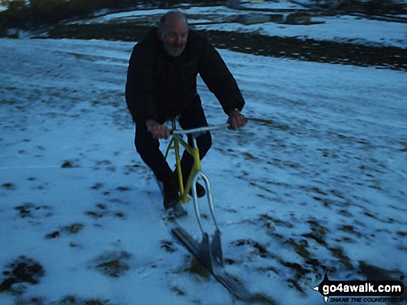
Send us your photographs and pictures on, of, or from The Dodd
If you would like to add your walk photographs and pictures featuring views from, on or of The Dodd to this page, please send them as email attachments (configured for any computer) along with your name to:
and we shall do our best to publish them.
(Guide Resolution = 300dpi. At least = 660pixels (wide) x 440 pixels (high).)

You can also submit photos via our Facebook Page.
NB. Please indicate where each photo was taken.


