
![]()
Well Hill
606m (1989ft)
The Lowther Hills, The Southern Uplands, Dumfries and Galloway/South Lanarkshire, Scotland

Not familiar with this top?
   |
|---|
Vital Statistics:
| Length: | 6.25ml (10km) |
|---|---|
| Ascent: | 2,091ft (637m) |
| Time: | 4½ hrs |
| Grade: |  (Moderate) (Moderate) |
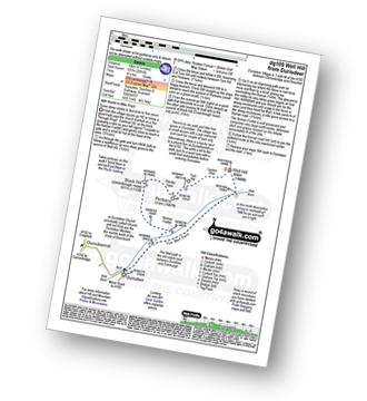
Route Summary:
Durisdeer - The Well Path - Well Hill - Penbane - Black Hill - Roman Fortlet - Roman Road - Durisdeer
See Well Hill and the surrounding tops on our free-to-access 'Google Style' Peak Bagging Maps:
The Lowther Hills area of Scottish Region 26: The Southern Uplands
Less data - quicker to download
Scottish Region 26: The Southern Uplands
Less data - quicker to download
A go4awalk.com downloadable Peak Bagging Map in PDF format featuring Well Hill should be available soon.
You can find Well Hill & all the walks that climb it on these unique free-to-access Interactive Walk Planning Maps:
1:25,000 scale OS Explorer Map (orange/yellow covers):
An Interactive Walk Planning Map for OS Explorer 329 Lowther Hills, Sanquhar & Leadhills is not currently available
1:50,000 scale OS Landranger Maps (pink/magenta covers):
An Interactive Walk Planning Map for OS Landranger 71 Lanark & Upper Nithsdale is not currently available
 Fellow go4awalkers who have already walked, climbed, summited & bagged Well Hill
To add (or remove) your name and experiences on this page - Log On and edit your Personal Mountain Bagging Record
Send us your photographs and pictures on, of, or from Well Hill
If you would like to add your walk photographs and pictures featuring views from, on or of Well Hill to this page, please send them as email attachments (configured for any computer) along with your name to:
and we shall do our best to publish them.
(Guide Resolution = 300dpi. At least = 660pixels (wide) x 440 pixels (high).)

You can also submit photos via our Facebook Page.
NB. Please indicate where each photo was taken and whether you wish us to credit your photos with a Username or your First Name/Last Name.
Not familiar with this top?

To contribute to go4awalk.com or to contact us about anything at all - see Talk To Us.
For help see Help.
go4awalk.com and go4awalk.co.uk are registered trademarks of TMDH Limited.
Copyright © 2000-2025 TMDH Limited. All rights reserved.
Copyright Terms & Conditions Privacy Statement
A - Z Walks Home Log On/Accounts Photo Gallery Walk Ideas and Collections Fell Facts Hill Skills Walking Questions and Answers Your Stories News Competitions Product Reviews/Gear Tests Walking Gear Guides Peaks and Mountains Peak Bagging Find New Walking Friends Camping GPS Waypoints for Walking Contents Walk Search Talk To Us go4awalk.com Help Free Example Walks Newsletter


