
![]()
Blake Mere (Merryton Low)
489m (1604ft)
The White Peak Area, The Peak District, Staffordshire, England
Tap/mouse over a coloured circle (1-3 easy walks, 4-6 moderate walks, 7-9 hard walks) and click to select.
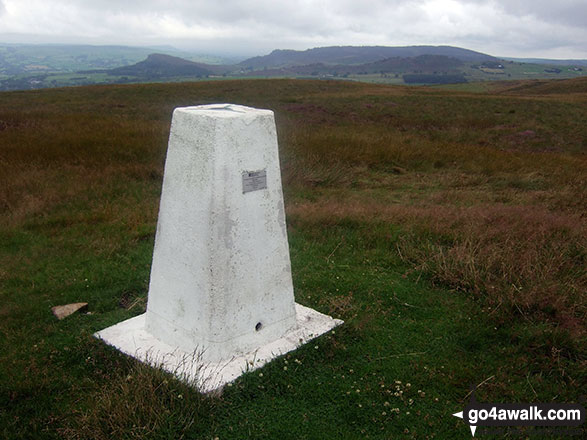
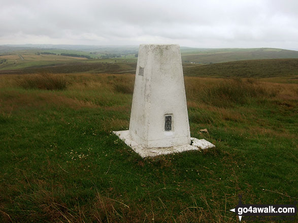
The summit of Blake Mere (Merryton Low) is marked by an Ordnance Survey Trig Point.
Not familiar with this top?
You can walk/hike to the top of Blake Mere (Merryton Low) by using this easy‑to‑follow route map:
Walk s181 Merryton Low and The River Manifold from Longnor
Wild and lonely moorland - terrific
   |
|---|
Vital Statistics:
| Length: | 11.5ml (18.5km) |
|---|---|
| Ascent: | 1,487ft (453m) |
| Time: | 2.75hrs |
| Grade: |  (Moderate) (Moderate) |

Route Summary:
Longnor - The Manifold Trail - Gauledge Farm - Fawside Farm - The River Manifold - Hardings Booth - Shining Ford - Holly Grove Farm - Newtown - Lady Edge - Round Knowl - Noon Sun Farm - Blake Mere (Merryton Low) - Blake Brook - Lower Fleetgreen Farm - Little Fernyford Farm - The Manifold Trail - Brund Mill - Pool Farm - Lower Boothlow Farm - Over Boothlow Farm - Folds End Farm - Longnor
See Blake Mere (Merryton Low) and the surrounding tops on our free-to-access 'Google Style' Peak Bagging Maps:
The White Peak Area of The Peak District National Park
Less data - quicker to download
See Blake Mere (Merryton Low) and the surrounding tops on our unique, downloadable, PDF Peak Bagging Map:

NB: Whether you print off a copy or download it to your phone, this PDF Peak Baggers' Map might prove incredibly useful when your are up there on the tops and you cannot get a phone signal.
You can find Blake Mere (Merryton Low) & all the walks that climb it on these unique free-to-access Interactive Walk Planning Maps:
1:25,000 scale OS Explorer Map (orange/yellow covers):
1:50,000 scale OS Landranger Map (pink/magenta covers):
 Fellow go4awalkers who have already walked, climbed, scaled, summited, hiked & bagged Blake Mere (Merryton Low)
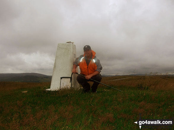
hannah1507 walked up Blake Mere (Merryton Low) on July 8th, 2023 [with] Dan
Mark Davidson climbed it on July 29th, 2010 [from/via/route] Walk s181 Merryton Low & The River Manifold from Longnor [with] Alone [weather] Bit grim, grey & cloudy, but it didn't rain
To add (or remove) your name and experiences on this page - Log On and edit your Personal Mountain Bagging Record
More Photographs & Pictures of views from, on, or of, Blake Mere (Merryton Low)


Send us your photographs and pictures on, of, or from Blake Mere (Merryton Low)
If you would like to add your walk photographs and pictures to this page, please send them as email attachments (configured for any computer) along with your name to:
and we shall do our best to publish them.
(Guide Resolution = 300dpi. At least = 660pixels (wide) x 440 pixels (high).)

You can also submit photos via our Facebook Page.
NB. Please indicate where each photo was taken and whether you wish us to credit your photos with a Username or your First Name/Last Name.


