All The Mountains, Peaks, Tops and Hills in Scottish Region 14: Scottish Region 14: Loch Maree to Loch Broom as a detailed list
Scottish Region 14: Loch Maree to Loch Broom region is the area enclosed by an imaginary line connecting:
- Loch Ewe to Loch Broom via North Minch to the North
- Loch Broom to Gorstan via Inverlael, the A835, Lochdrum, Loch Glascarnoch, Aultguish Inn and Garbet to the North East
- Gorstan to Kinlochewe via the A832, Lochluichart, Achanalt, Strath Bann, Achnashhen and Loch a' Chroisg the South
- Kinlochewe to Loch Ewe via Loch Maree the South West
If you count only the Corbetts there are 9 tops to climb, bag & conquer and the highest point is Beinn a' Chlaidheimh at 914m (2,999ft).
To see all Mountains, Peaks, Tops and Hills displayed in different ways - see the options in the left-hand column and towards the bottom of this page.
![]() Your Personal Bagging Record for Scottish Region 14: Loch Maree to Loch Broom
Your Personal Bagging Record for Scottish Region 14: Loch Maree to Loch Broom
LOG ON and RELOAD this page to show which Mountains, Peaks, Tops and Hills you have already climbed, bagged & conquered [. . . more]
See this list in: Alphabetical Order‡
| Height Order
To reverse the order select the link again.
Mountain, Peak, Top or Hill:
Bagged

![]()
1. Beinn a' Chaisgein Mor
856m (2,809ft)
Beinn a' Chaisgein Mor is on interactive maps:
A go4awalk.com Peak Bagging Map and Hill Tick List featuring Beinn a' Chaisgein Mor will be available soon. |
![]()
2. Beinn a' Chlaidheimh
914m (2,999ft)
Beinn a' Chlaidheimh is on interactive maps:
A go4awalk.com Peak Bagging Map and Hill Tick List featuring Beinn a' Chlaidheimh will be available soon. |
![]()
3. Beinn Airigh Charr
792m (2,598ft)
Beinn Airigh Charr is on interactive maps:
A go4awalk.com Peak Bagging Map and Hill Tick List featuring Beinn Airigh Charr will be available soon. |
![]()
4. Beinn Dearg Bheag
820m (2,691ft)
Beinn Dearg Bheag is on interactive maps:
A go4awalk.com Peak Bagging Map and Hill Tick List featuring Beinn Dearg Bheag will be available soon. |
![]()
5. Beinn Dearg Mor
906m (2,973ft)
Beinn Dearg Mor is on interactive maps:
A go4awalk.com Peak Bagging Map and Hill Tick List featuring Beinn Dearg Mor will be available soon. |
![]()
6. Beinn Lair
859m (2,819ft)
Beinn Lair is on interactive maps:
A go4awalk.com Peak Bagging Map and Hill Tick List featuring Beinn Lair will be available soon. |
![]()
7. Beinn Liath Mhor a' Ghiubhais Li
766m (2,514ft)
Beinn Liath Mhor a' Ghiubhais Li is on interactive maps:
A go4awalk.com Peak Bagging Map and Hill Tick List featuring Beinn Liath Mhor a' Ghiubhais Li will be available soon. |
![]()
8. Creag Rainich
807m (2,649ft)
Creag Rainich is on interactive maps:
A go4awalk.com Peak Bagging Map and Hill Tick List featuring Creag Rainich will be available soon. |
![]()
9. Sail Mhor (Little Loch Broom)
767m (2,517ft)
Sail Mhor (Little Loch Broom) is on interactive maps:
A go4awalk.com Peak Bagging Map and Hill Tick List featuring Sail Mhor (Little Loch Broom) will be available soon. |
View all 51 Mountains, Peaks, Tops and Hills in Scottish Region 14: Loch Maree to Loch Broom:
- On an Interactive Google Map (loads faster)
- On an Interactive Google Map with a list of tops below it (makes it easier to locate a particular top)
- On a Detailed List in:
Alphabetical Order | Height Order - On one page with 'yet-to-be-bagged' listed 1st & then 'already-bagged' tops listed 2nd in:
Alphabetical Order | Height Order (must be logged on) - On one page with 'already-bagged' tops listed 1st & then 'yet-to-be-bagged' tops listed 2nd in:
Alphabetical Order | Height Order (must be logged on)
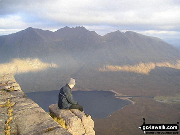 Sgurr Mor (Fannich Forest) the highest point in Loch Maree to Loch Broom
Photo: Sarah Wingrove
Is there a Mountain, Peak, Top or Hill missing from the above google map or list?
Let us know an we will add it to our database.

To contribute to go4awalk.com or to contact us about anything at all - see Talk To Us.
For help see Help.
go4awalk.com and go4awalk.co.uk are registered trademarks of TMDH Limited.
Copyright © 2000-2024 TMDH Limited. All rights reserved.
Copyright | Terms & Conditions | Privacy Statement
A - Z
Walks
Home
Log On/Accounts
Photo Gallery
Walk Ideas and Collections
Fell Facts
Places to Stay
Hill Skills
Walking Questions and Answers
Your Stories
News
Competitions
Product Reviews/Gear Tests
Walking Gear Guides
Peaks and Mountains
Peak Bagging
Find New Walking Friends
Camping
GPS Waypoints for Walking
Walk Search
Talk to us
go4awalk.com Help
Free example walks
Newsletter


