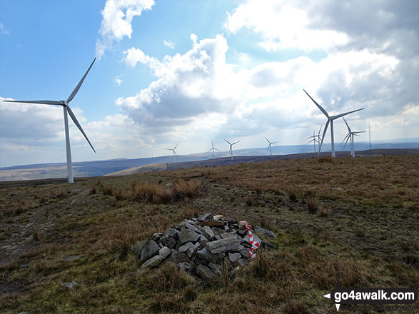
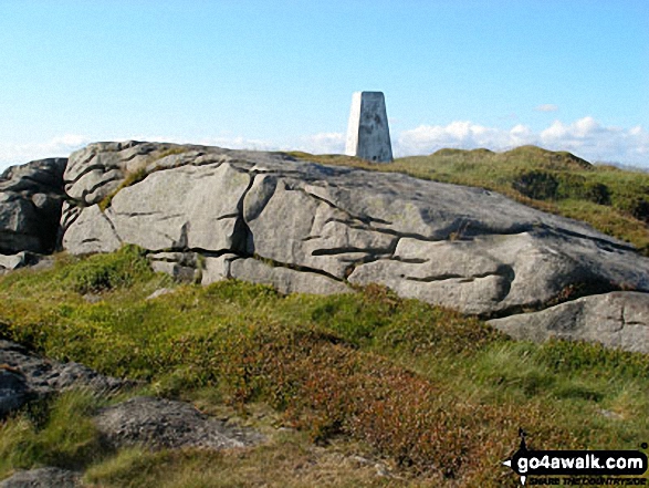
The Forest of Bowland and The South Pennines - a fully detailed list of all the Peaks, Tops and Hills (Page 1 of 3)
The Forest of Bowland and The South Pennines is located in North West England covering parts of Cumbria, Greater Manchester, Lancashire, Merseyside and West Yorkshire.
If you include all the Deweys, the Marilyns, the Bridgets (Hills) and all the Mountains, Tops, Peaks and Hills with a Trig Point on them there are 61 tops to climb, bag & conquer and the highest point is Mallowdale Pike (Mallowdale Fell) at 561m (1,841ft).
To see these Mountains, Peaks, Tops and Hills displayed in different ways - see the options in the left-hand column and towards the bottom of this page.
LOG ON and RELOAD this page to show which Mountains, Peaks, Tops and Hills you have already climbed, bagged & conquered [. . . more details]
See this list in: Alphabetical Order
| Height Order‡
To reverse the order select the link again.
Mountain, Peak, Top or Hill:
Bagged
1. Mallowdale Pike (Mallowdale Fell)
561m (1,841ft)
See the location of Mallowdale Pike (Mallowdale Fell) and walks up it on a google Map Mallowdale Pike (Mallowdale Fell) is on interactive maps:
Mallowdale Pike (Mallowdale Fell) is on downloadable PDF you can Print or Save to your Phone: |
2. Ward's Stone (Mallowdale Fell)
560m (1,837ft)
See the location of Ward's Stone (Mallowdale Fell) and walks up it on a google Map Ward's Stone (Mallowdale Fell) is on interactive maps:
|
3. Pendle Hill (Beacon or Big End)
557m (1,828ft)
See the location of Pendle Hill (Beacon or Big End) and walks up it on a google Map Pendle Hill (Beacon or Big End) is on interactive maps:
Pendle Hill (Beacon or Big End) is on downloadable PDF you can Print or Save to your Phone: |
4. White Hill (Forest of Bowland)
544m (1,785ft)
See the location of White Hill (Forest of Bowland) and walks up it on a google Map White Hill (Forest of Bowland) is on interactive maps:
White Hill (Forest of Bowland) is on downloadable PDF you can Print or Save to your Phone: |
5. Wolfhole Crag
528m (1,733ft)
See the location of Wolfhole Crag and walks up it on a google Map Wolfhole Crag is on interactive maps:
Wolfhole Crag is on downloadable PDF you can Print or Save to your Phone: |
6. Fair Snape Fell
520m (1,706ft)
See the location of Fair Snape Fell and walks up it on a google Map Fair Snape Fell is on interactive maps:
Fair Snape Fell is on downloadable PDF you can Print or Save to your Phone: |
7. Lad Law (Boulsworth Hill)
517m (1,697ft)
See the location of Lad Law (Boulsworth Hill) and walks up it on a google Map Lad Law (Boulsworth Hill) is on interactive maps:
Lad Law (Boulsworth Hill) is on downloadable PDF you can Print or Save to your Phone: |
8. Paddy's Pole (Fair Snape Fell)
510m (1,673ft)
See the location of Paddy's Pole (Fair Snape Fell) and walks up it on a google Map Paddy's Pole (Fair Snape Fell) is on interactive maps:
Paddy's Pole (Fair Snape Fell) is on downloadable PDF you can Print or Save to your Phone: |
9. Totridge Fell
496m (1,628ft)
Totridge Fell is on interactive maps:
Totridge Fell is on downloadable PDF you can Print or Save to your Phone: |
10. Catlow Fell (Ravens Castle)
486m (1,595ft)
See the location of Catlow Fell (Ravens Castle) and walks up it on a google Map Catlow Fell (Ravens Castle) is on interactive maps:
Catlow Fell (Ravens Castle) is on downloadable PDF you can Print or Save to your Phone: |
11. Way Stone Edge (Moss Moor)
482m (1,581ft)
Send it in and we'll publish it here.
Way Stone Edge (Moss Moor) is on interactive maps:
Way Stone Edge (Moss Moor) is on downloadable PDF you can Print or Save to your Phone: |
12. Hawthornthwaite Fell Top
479m (1,572ft)
Send it in and we'll publish it here.
Hawthornthwaite Fell Top is on interactive maps:
Hawthornthwaite Fell Top is on downloadable PDF you can Print or Save to your Phone: |
13. Hoof Stones Height
479m (1,572ft)
Hoof Stones Height is on interactive maps:
|
14. Hail Storm Hill
477m (1,566ft)
See the location of Hail Storm Hill and walks up it on a google Map Hail Storm Hill is on interactive maps:
Hail Storm Hill is on downloadable PDF you can Print or Save to your Phone: |
15. Whins Brow
476m (1,562ft)
Whins Brow is on interactive maps:
Whins Brow is on downloadable PDF you can Print or Save to your Phone: |
16. Blackstone Edge
472m (1,549ft)
See the location of Blackstone Edge and walks up it on a google Map Blackstone Edge is on interactive maps:
Blackstone Edge is on downloadable PDF you can Print or Save to your Phone: |
17. Baxton Fell
469m (1,539ft)
Baxton Fell is on interactive maps:
Baxton Fell is on downloadable PDF you can Print or Save to your Phone: |
18. Withins Height
457m (1,500ft)
Withins Height is on interactive maps:
Withins Height is on downloadable PDF you can Print or Save to your Phone: |
19. Winter Hill (Rivington Moor)
456m (1,497ft)
See the location of Winter Hill (Rivington Moor) and walks up it on a google Map Winter Hill (Rivington Moor) is on interactive maps:
Winter Hill (Rivington Moor) is on downloadable PDF you can Print or Save to your Phone: |
20. Freeholds Top
455m (1,493ft)
See the location of Freeholds Top and walks up it on a google Map Freeholds Top is on interactive maps:
Freeholds Top is on downloadable PDF you can Print or Save to your Phone: |
21. Hollin Hill (Oxenhope Moor)
451m (1,480ft)
Send it in and we'll publish it here.
See the location of Hollin Hill (Oxenhope Moor) and walks up it on a google Map Hollin Hill (Oxenhope Moor) is on interactive maps:
Hollin Hill (Oxenhope Moor) is on downloadable PDF you can Print or Save to your Phone: |
22. Thieveley Pike
449m (1,473ft)
See the location of Thieveley Pike and walks up it on a google Map Thieveley Pike is on interactive maps:
Thieveley Pike is on downloadable PDF you can Print or Save to your Phone: |
23. White Hill (Midgley Moor)
446m (1,464ft)
Send it in and we'll publish it here.
White Hill (Midgley Moor) is on interactive maps:
White Hill (Midgley Moor) is on downloadable PDF you can Print or Save to your Phone: |
24. Little Wolf Stones (Keighley Moor)
443m (1,453ft)
Send it in and we'll publish it here.
Little Wolf Stones (Keighley Moor) is on interactive maps:
Little Wolf Stones (Keighley Moor) is on downloadable PDF you can Print or Save to your Phone: |
25. Dog Hill (Rishworth Moor)
435m (1,428ft)
See the location of Dog Hill (Rishworth Moor) and walks up it on a google Map Dog Hill (Rishworth Moor) is on interactive maps:
|
26. Rough Hill (Shore Moor)
434m (1,424ft)
See the location of Rough Hill (Shore Moor) and walks up it on a google Map Rough Hill (Shore Moor) is on interactive maps:
Rough Hill (Shore Moor) is on downloadable PDF you can Print or Save to your Phone: |
27. Parlick
432m (1,418ft)
See the location of Parlick and walks up it on a google Map Parlick is on interactive maps:
Parlick is on downloadable PDF you can Print or Save to your Phone: |
28. Burn Fell (Forest of Bowland)
431m (1,415ft)
Send it in and we'll publish it here.
Burn Fell (Forest of Bowland) is on interactive maps:
Burn Fell (Forest of Bowland) is on downloadable PDF you can Print or Save to your Phone: |
29. Crutchenber Fell (Bowland Knotts)
430m (1,411ft)
See the location of Crutchenber Fell (Bowland Knotts) and walks up it on a google Map Crutchenber Fell (Bowland Knotts) is on interactive maps:
Crutchenber Fell (Bowland Knotts) is on downloadable PDF you can Print or Save to your Phone: |
30. Hazelhurst Fell (Bleasdale Moors)
429m (1,407ft)
Send it in and we'll publish it here.
Hazelhurst Fell (Bleasdale Moors) is on interactive maps:
Hazelhurst Fell (Bleasdale Moors) is on downloadable PDF you can Print or Save to your Phone: |
View these 61 Mountains, Peaks, Tops and Hills:
- On a Downloadable PDF you can Print or Save to your Phone#
- On an Interactive Google Map with a list of tops below it.
(makes it easier to locate a particular top) - On a Detailed List in:
Alphabetical Order | Height Order - On one page with 'yet-to-be-bagged' listed 1st
& then 'already-bagged' tops listed 2nd in:
Alphabetical Order | Height Order - On one page with 'already-bagged' tops listed 1st
& then 'yet-to-be-bagged' tops listed 2nd in:
Alphabetical Order | Height Order
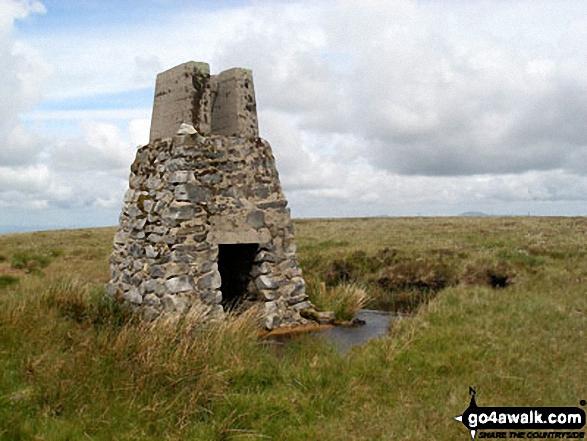
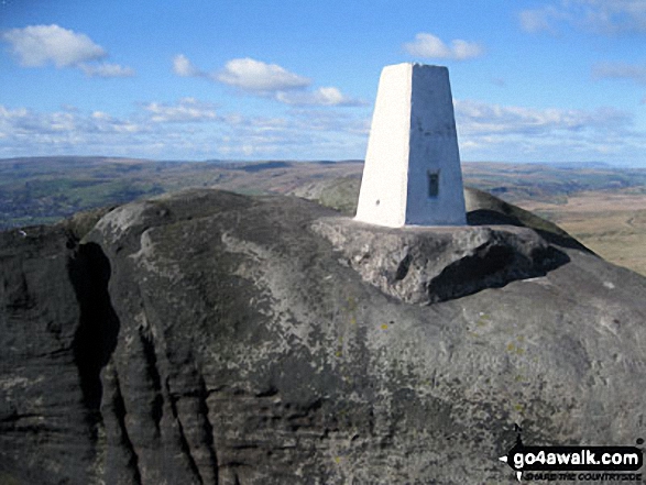
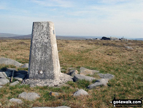 The summit of Mallowdale Pike (Mallowdale Fell) in The Forest of Bowland and The South Pennines
Photo: Des Ellwood
# Whether you print a copy or download it to your phone, this Peak Baggers' Map will prove incredibly useful if you want to know what's what when you are up in the mountains and cannot get a phone signal.
Is there a Mountain, Peak, Top or Hill missing from the above google map or list?
Let us know an we will add it to our database.


