All the Mountains, Peaks, Tops and Hills in The Berwyns area of Snowdonia, Denbighshire, Gwynedd, Powys and Wrexham,, Wales as a detailed list
The Berwyns area of Snowdonia National Park, Denbighshire, Gwynedd, Powys and Wrexham, is the area enclosed by:
- The A494 from Llanuwchllyn to Druid to the North West
- The A5 to Chirk (Y Waun) to the North
- The border between Wales and England to Llynclys to the East
- The A495 to Bwlch-y-cibau, the A490 to Llanfyllin, then the B4393 to Llyn Efymwy & then a minor road to Bwlch y Groes to the South
- Cwm Cynllwyd to Llanuwchllyn to the South West
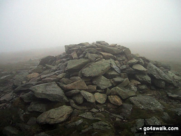
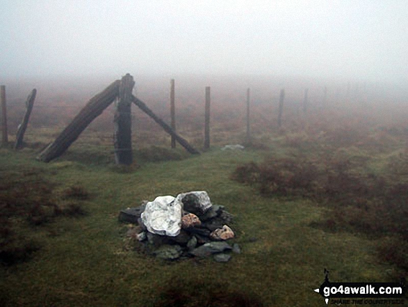
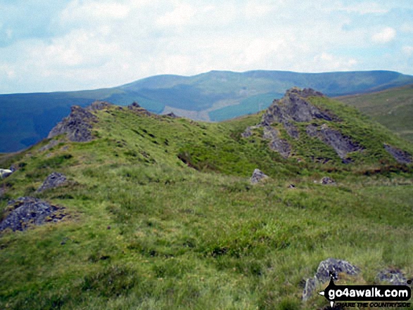
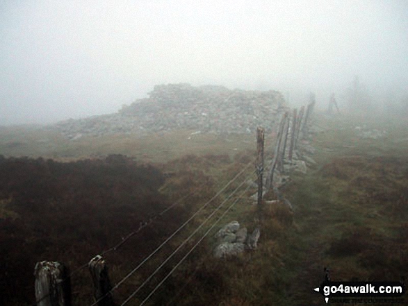
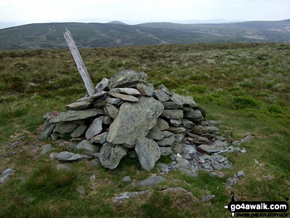
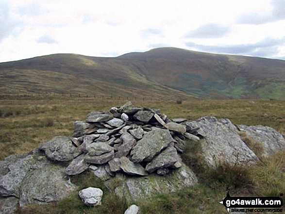
If you include just the Mountains (Hewitts) and the Nuttalls there are 24 tops to climb, bag & conquer and the highest point is Cadair Berwyn at 832m (2,730ft).
To see all Mountains, Peaks, Tops and Hills displayed in different ways - see the options in the left-hand column and towards the bottom of this page.
![]() Your Personal Bagging Record for The Berwyns area of Snowdonia
Your Personal Bagging Record for The Berwyns area of Snowdonia
LOG ON and RELOAD this page to show which Mountains, Peaks, Tops and Hills you have already climbed, bagged & conquered [. . . more]
See this list in: Alphabetical Order
| Height Order‡
To reverse the order select the link again.
Mountain, Peak, Top or Hill:
Bagged

![]()
1. Cadair Berwyn
832m (2,730ft)
Cadair Berwyn is on interactive maps:
Cadair Berwyn is on Peak Bagging Map and Hill Tick List: |

![]()
2. Cadair Berwyn (North Top)
827m (2,714ft)
Cadair Berwyn (North Top) is on interactive maps:
Cadair Berwyn (North Top) is on Peak Bagging Map and Hill Tick List: |
![]()
3. Moel Sych
827m (2,712ft)
Moel Sych is on interactive maps:
Moel Sych is on Peak Bagging Map and Hill Tick List: |
![]()
4. Cadair Bronwen
783m (2,570ft)
Cadair Bronwen is on interactive maps:
Cadair Bronwen is on Peak Bagging Map and Hill Tick List: |
![]()
5. Tomle
740m (2,430ft)
Tomle is on interactive maps:
Tomle is on Peak Bagging Map and Hill Tick List: |
![]()
6. Moel yr Ewig
695m (2,280ft)
Moel yr Ewig is on interactive maps:
Moel yr Ewig is on Peak Bagging Map and Hill Tick List: |
![]()
7. Foel Wen
691m (2,267ft)
Foel Wen is on interactive maps:
Foel Wen is on Peak Bagging Map and Hill Tick List: |
![]()
8. Foel Wen (South Top)
687m (2,256ft)
Foel Wen (South Top) is on interactive maps:
Foel Wen (South Top) is on Peak Bagging Map and Hill Tick List: |
![]()
9. Mynydd Tarw
681m (2,235ft)
Mynydd Tarw is on interactive maps:
Mynydd Tarw is on Peak Bagging Map and Hill Tick List: |
![]()
10. Godor
679m (2,229ft)
Godor is on interactive maps:
Godor is on Peak Bagging Map and Hill Tick List: |
![]()
11. Godor (North Top)
675m (2,215ft)
Godor (North Top) is on interactive maps:
Godor (North Top) is on Peak Bagging Map and Hill Tick List: |
![]()
12. Foel Cedig
668m (2,192ft)
Foel Cedig is on interactive maps:
Foel Cedig is on Peak Bagging Map and Hill Tick List: |
![]()
13. Post Gwyn
665m (2,182ft)
Post Gwyn is on interactive maps:
Post Gwyn is on Peak Bagging Map and Hill Tick List: |
![]()
14. Y Groes Fagl
659m (2,163ft)
Y Groes Fagl is on interactive maps:
Y Groes Fagl is on Peak Bagging Map and Hill Tick List: |
![]()
15. Foel Cwm-Sian Llwyd
648m (2,127ft)
Foel Cwm-Sian Llwyd is on interactive maps:
Foel Cwm-Sian Llwyd is on Peak Bagging Map and Hill Tick List: |
![]()
16. Pen y Boncyn Trefeilw
646m (2,120ft)
Pen y Boncyn Trefeilw is on interactive maps:
Pen y Boncyn Trefeilw is on Peak Bagging Map and Hill Tick List: |

![]()
17. Moel Fferna
630m (2,067ft)
Moel Fferna is on interactive maps:
Moel Fferna is on Peak Bagging Map and Hill Tick List: |
![]()
18. Stac Rhos
630m (2,067ft)
Stac Rhos is on interactive maps:
Stac Rhos is on Peak Bagging Map and Hill Tick List: |
![]()
19. Foel y Geifr (Berwyns)
626m (2,055ft)
Foel y Geifr (Berwyns) is on interactive maps:
Foel y Geifr (Berwyns) is on Peak Bagging Map and Hill Tick List: |
![]()
20. Moel y Cerrig Duon
625m (2,051ft)
Moel y Cerrig Duon is on interactive maps:
Moel y Cerrig Duon is on Peak Bagging Map and Hill Tick List: |
![]()
21. Pen Bwlch Llandrillo Top
621m (2,038ft)
Pen Bwlch Llandrillo Top is on interactive maps:
Pen Bwlch Llandrillo Top is on Peak Bagging Map and Hill Tick List: |
![]()
22. Cefn Gwyntog
614m (2,015ft)
Cefn Gwyntog is on interactive maps:
Cefn Gwyntog is on Peak Bagging Map and Hill Tick List: |
![]()
23. Foel Goch (Berwyns)
612m (2,010ft)
Foel Goch (Berwyns) is on interactive maps:
Foel Goch (Berwyns) is on Peak Bagging Map and Hill Tick List: |
![]()
24. Trum y Gwrgedd
612m (2,009ft)
Trum y Gwrgedd is on interactive maps:
Trum y Gwrgedd is on Peak Bagging Map and Hill Tick List: |
View all 54 Mountains, Peaks, Tops and Hills in The Berwyns area of Snowdonia:
- On a Downloadable PDF you can Print or Save to your Phone#
- On an Interactive Google Map (loads faster)
- On an Interactive Google Map with a list of tops below it (makes it easier to locate a particular top)
- On a Detailed List in:
Alphabetical Order | Height Order - On one page with 'yet-to-be-bagged' listed 1st & then 'already-bagged' tops listed 2nd in:
Alphabetical Order | Height Order (must be logged on) - On one page with 'already-bagged' tops listed 1st & then 'yet-to-be-bagged' tops listed 2nd in:
Alphabetical Order | Height Order (must be logged on)
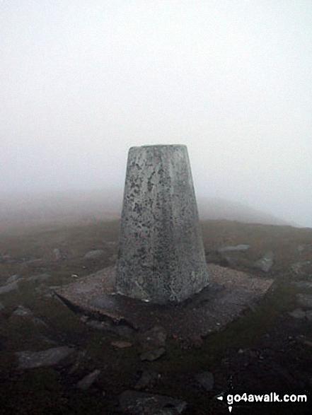
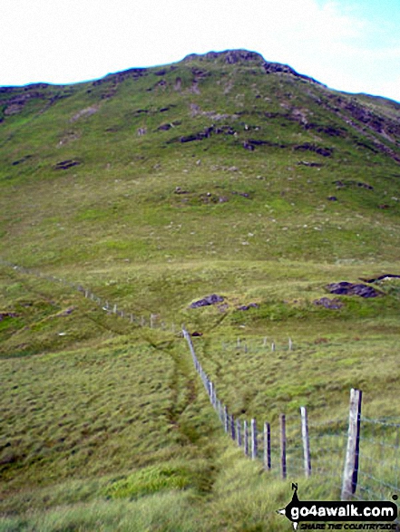
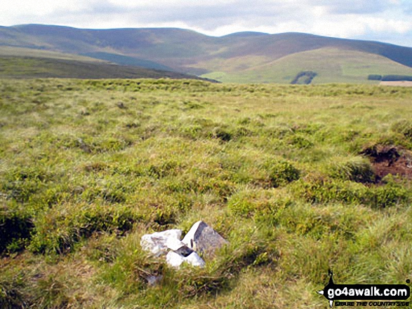
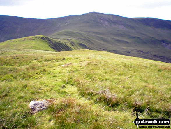
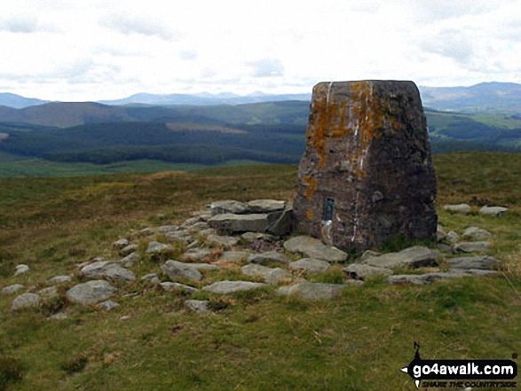
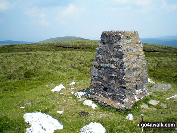
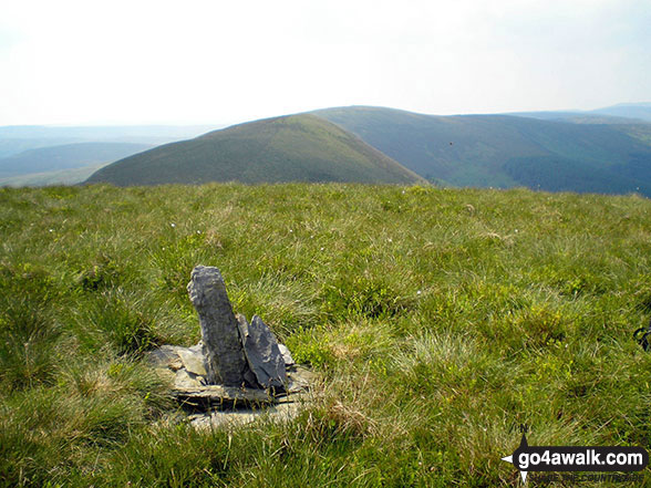
 Cadair Berwyn the highest point in The Berwyns
Photo: John Greaves
# Whether you print a copy or download it to your phone, this Peak Baggers' Map will prove incredibly useful if you want to know what's what when you are up in the mountains and cannot get a phone signal
Is there a Mountain, Peak, Top or Hill missing from the above google map or list?
Let us know an we will add it to our database.
To contribute to go4awalk.com or to contact us about anything at all - see Talk To Us.
For help see Help.
go4awalk.com and go4awalk.co.uk are registered trademarks of TMDH Limited.
Copyright © 2000-2024 TMDH Limited. All rights reserved.
Copyright | Terms & Conditions | Privacy Statement
A - Z
Walks
Home
Log On/Accounts
Photo Gallery
Walk Ideas and Collections
Fell Facts
Places to Stay
Hill Skills
Walking Questions and Answers
Your Stories
News
Competitions
Product Reviews/Gear Tests
Walking Gear Guides
Peaks and Mountains
Peak Bagging
Find New Walking Friends
Camping
GPS Waypoints for Walking
Walk Search
Talk to us
go4awalk.com Help
Free example walks
Newsletter


