All the Mountains, Peaks, Tops and Hills in The White Peak Area of The Peak District, Cheshire, Derbyshire and Staffordshire, England as a detailed list
The White Peak Area of The Peak District National Park, Cheshire, Derbyshire and Staffordshire is area within the National Park boundary south of the A6 from Hazel Grove to Chapel-en-le-Frith, the A623 to Sparrowpit, the minor road from Sparrowpit along Rushup Edge to Castleton and the A6187 from Castleton to Sheffield.
If you include just the Mountains (Hewitts), the Deweys and the Nuttalls there are 9 tops to climb, bag & conquer and the highest point is Shining Tor at 559m (1,835ft).
To see all Mountains, Peaks, Tops and Hills displayed in different ways - see the options in the left-hand column and towards the bottom of this page.
![]() Your Personal Bagging Record for The White Peak Area of The Peak District
Your Personal Bagging Record for The White Peak Area of The Peak District
LOG ON and RELOAD this page to show which Mountains, Peaks, Tops and Hills you have already climbed, bagged & conquered [. . . more]
See this list in: Alphabetical Order‡
| Height Order
To reverse the order select the link again.
Mountain, Peak, Top or Hill:
Bagged

![]()
1. Axe Edge (Axe Edge Moor)
551m (1,808ft)
Axe Edge (Axe Edge Moor) is on interactive maps:
Axe Edge (Axe Edge Moor) is on Peak Bagging Map and Hill Tick List: |
![]()
2. Black Edge (Combs Moss)
507m (1,663ft)
Black Edge (Combs Moss) is on interactive maps:
Black Edge (Combs Moss) is on Peak Bagging Map and Hill Tick List: |
![]()
3. Cats Tor
522m (1,713ft)
Cats Tor is on interactive maps:
Cats Tor is on Peak Bagging Map and Hill Tick List: |
![]()
4. Combs Head (Combs Moss)
503m (1,650ft)
Combs Head (Combs Moss) is on interactive maps:
Combs Head (Combs Moss) is on Peak Bagging Map and Hill Tick List: |
![]()
5. Oliver Hill
513m (1,684ft)
Oliver Hill is on interactive maps:
Oliver Hill is on Peak Bagging Map and Hill Tick List: |
![]()
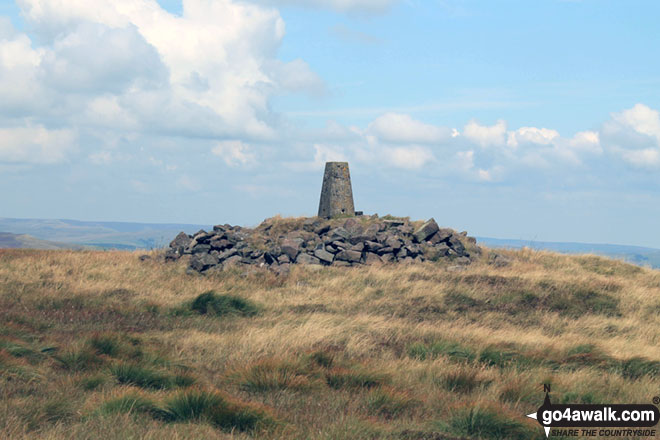
6. Shining Tor
559m (1,835ft)
Shining Tor is on interactive maps:
Shining Tor is on Peak Bagging Map and Hill Tick List: |
![]()
7. Shutlingsloe
506m (1,660ft)
Shutlingsloe is on interactive maps:
Shutlingsloe is on Peak Bagging Map and Hill Tick List: |
![]()
8. The Roaches
505m (1,657ft)
The Roaches is on interactive maps:
The Roaches is on Peak Bagging Map and Hill Tick List: |
![]()
9. Whetstone Ridge
547m (1,795ft)
Whetstone Ridge is on interactive maps:
Whetstone Ridge is on Peak Bagging Map and Hill Tick List: |
View all 48 Mountains, Peaks, Tops and Hills in The White Peak Area of The Peak District:
- On a Downloadable PDF you can Print or Save to your Phone#
- On an Interactive Google Map (loads faster)
- On an Interactive Google Map with a list of tops below it (makes it easier to locate a particular top)
- On a Detailed List in:
Alphabetical Order | Height Order - On one page with 'yet-to-be-bagged' listed 1st & then 'already-bagged' tops listed 2nd in:
Alphabetical Order | Height Order (must be logged on) - On one page with 'already-bagged' tops listed 1st & then 'yet-to-be-bagged' tops listed 2nd in:
Alphabetical Order | Height Order (must be logged on)
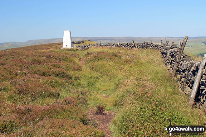
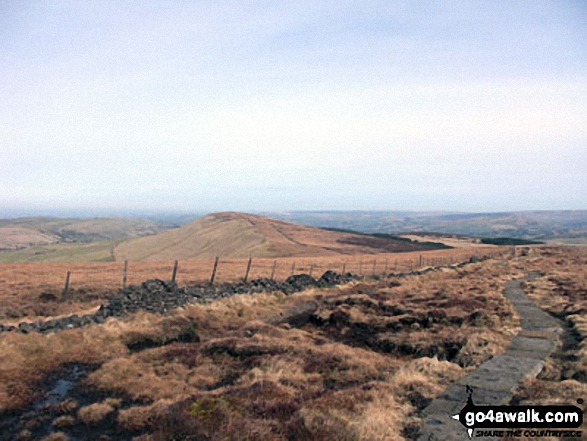
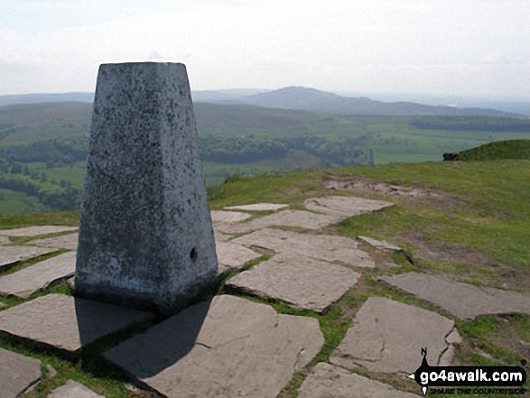
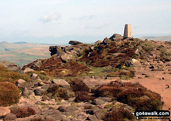
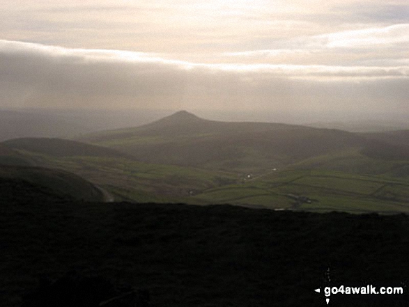 The view from Shining Tor, the highest point in The White Peak Area
Photo: Rachael Barber
# Whether you print a copy or download it to your phone, this Peak Baggers' Map will prove incredibly useful if you want to know what's what when you are up in the mountains and cannot get a phone signal
Is there a Mountain, Peak, Top or Hill missing from the above google map or list?
Let us know an we will add it to our database.
To contribute to go4awalk.com or to contact us about anything at all - see Talk To Us.
For help see Help.
go4awalk.com and go4awalk.co.uk are registered trademarks of TMDH Limited.
Copyright © 2000-2024 TMDH Limited. All rights reserved.
Copyright | Terms & Conditions | Privacy Statement
A - Z
Walks
Home
Log On/Accounts
Photo Gallery
Walk Ideas and Collections
Fell Facts
Places to Stay
Hill Skills
Walking Questions and Answers
Your Stories
News
Competitions
Product Reviews/Gear Tests
Walking Gear Guides
Peaks and Mountains
Peak Bagging
Find New Walking Friends
Camping
GPS Waypoints for Walking
Walk Search
Talk to us
go4awalk.com Help
Free example walks
Newsletter


