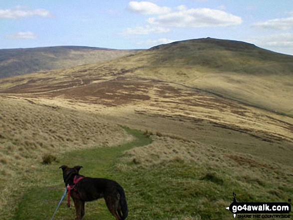
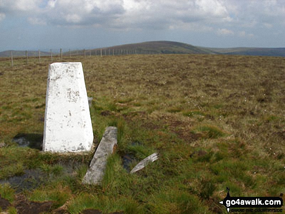
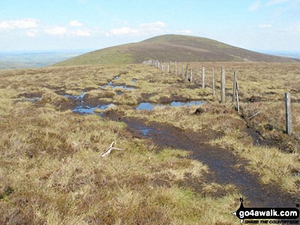
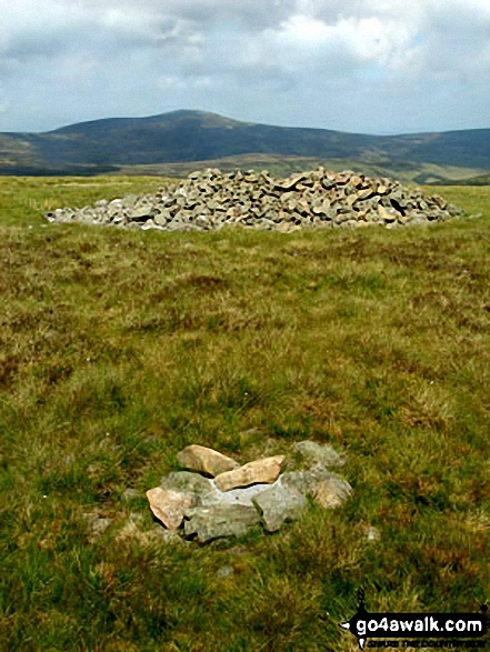
The Northumberland National Park, England - a fully detailed list of all the Mountains, Peaks, Tops and Hills
The Northumberland National Park is located in North Eastern England and wholly within the county of Northumberland.
If you include just the Mountains (Hewitts), the Deweys and the Nuttalls there are 24 tops to climb, bag & conquer and the highest point is The Cheviot at 815m (2,674ft).
To see these Mountains, Peaks, Tops and Hills displayed in different ways - see the options in the left-hand column and towards the bottom of this page.
LOG ON and RELOAD this page to show which Mountains, Peaks, Tops and Hills you have already climbed, bagged & conquered [. . . more details]
See this list in: Alphabetical Order‡
| Height Order
To reverse the order select the link again.
Mountain, Peak, Top or Hill:
Bagged
1. Beefstand Hill
562m (1,844ft)
Beefstand Hill is on interactive maps:
A downloadable go4awalk.com PDF Peak Bagging Map featuring Beefstand Hill will be available soon. |
2. Birnie Brae
508m (1,667ft)
See the location of Birnie Brae and walks up it on a google Map Birnie Brae is on interactive maps:
A downloadable go4awalk.com PDF Peak Bagging Map featuring Birnie Brae will be available soon. |
3. Black Hag (Hethpool)
549m (1,801ft)
See the location of Black Hag (Hethpool) and walks up it on a google Map Black Hag (Hethpool) is on interactive maps:
A downloadable go4awalk.com PDF Peak Bagging Map featuring Black Hag (Hethpool) will be available soon. |
4. Bloodybush Edge
610m (2,001ft)
See the location of Bloodybush Edge and walks up it on a google Map Bloodybush Edge is on interactive maps:
A downloadable go4awalk.com PDF Peak Bagging Map featuring Bloodybush Edge will be available soon. |
5. Broadhope Hill
517m (1,696ft)
See the location of Broadhope Hill and walks up it on a google Map Broadhope Hill is on interactive maps:
A downloadable go4awalk.com PDF Peak Bagging Map featuring Broadhope Hill will be available soon. |
6. Brownhart Law
508m (1,667ft)
Brownhart Law is on interactive maps:
A downloadable go4awalk.com PDF Peak Bagging Map featuring Brownhart Law will be available soon. |
7. Comb Fell
652m (2,139ft)
See the location of Comb Fell and walks up it on a google Map Comb Fell is on interactive maps:
A downloadable go4awalk.com PDF Peak Bagging Map featuring Comb Fell will be available soon. |
8. Cushat Law
616m (2,022ft)
See the location of Cushat Law and walks up it on a google Map Cushat Law is on interactive maps:
A downloadable go4awalk.com PDF Peak Bagging Map featuring Cushat Law will be available soon. |
9. Dunmoor Hill
569m (1,867ft)
Dunmoor Hill is on interactive maps:
A downloadable go4awalk.com PDF Peak Bagging Map featuring Dunmoor Hill will be available soon. |
10. Glendhu Hill
514m (1,686ft)
Glendhu Hill is on interactive maps:
A downloadable go4awalk.com PDF Peak Bagging Map featuring Glendhu Hill will be available soon. |
11. Hedgehope Hill
714m (2,343ft)
See the location of Hedgehope Hill and walks up it on a google Map Hedgehope Hill is on interactive maps:
A downloadable go4awalk.com PDF Peak Bagging Map featuring Hedgehope Hill will be available soon. |
12. Hungry Law
501m (1,644ft)
Hungry Law is on interactive maps:
A downloadable go4awalk.com PDF Peak Bagging Map featuring Hungry Law will be available soon. |
13. Lint Lands
510m (1,673ft)
Lint Lands is on interactive maps:
A downloadable go4awalk.com PDF Peak Bagging Map featuring Lint Lands will be available soon. |
14. Newton Tors
537m (1,762ft)
Newton Tors is on interactive maps:
A downloadable go4awalk.com PDF Peak Bagging Map featuring Newton Tors will be available soon. |
15. Preston Hill
526m (1,726ft)
Preston Hill is on interactive maps:
A downloadable go4awalk.com PDF Peak Bagging Map featuring Preston Hill will be available soon. |
16. Ravens Knowe
527m (1,729ft)
Ravens Knowe is on interactive maps:
A downloadable go4awalk.com PDF Peak Bagging Map featuring Ravens Knowe will be available soon. |
17. Shill Moor
528m (1,732ft)
See the location of Shill Moor and walks up it on a google Map Shill Moor is on interactive maps:
A downloadable go4awalk.com PDF Peak Bagging Map featuring Shill Moor will be available soon. |
18. Shillhope Law
501m (1,644ft)
Shillhope Law is on interactive maps:
A downloadable go4awalk.com PDF Peak Bagging Map featuring Shillhope Law will be available soon. |
19. The Cheviot
815m (2,674ft)
See the location of The Cheviot and walks up it on a google Map The Cheviot is on interactive maps:
A downloadable go4awalk.com PDF Peak Bagging Map featuring The Cheviot will be available soon. |
20. The Schil
601m (1,972ft)
See the location of The Schil and walks up it on a google Map The Schil is on interactive maps:
A downloadable go4awalk.com PDF Peak Bagging Map featuring The Schil will be available soon. |
21. Thirl Moor
558m (1,831ft)
Thirl Moor is on interactive maps:
A downloadable go4awalk.com PDF Peak Bagging Map featuring Thirl Moor will be available soon. |
22. Wether Cairn (Wholhope Hill)
563m (1,847ft)
Send it in and we'll publish it here.
Wether Cairn (Wholhope Hill) is on interactive maps:
A downloadable go4awalk.com PDF Peak Bagging Map featuring Wether Cairn (Wholhope Hill) will be available soon. |
23. Windy Gyle
619m (2,031ft)
See the location of Windy Gyle and walks up it on a google Map Windy Gyle is on interactive maps:
A downloadable go4awalk.com PDF Peak Bagging Map featuring Windy Gyle will be available soon. |
24. Yarnspath Law
543m (1,782ft)
Yarnspath Law is on interactive maps:
A downloadable go4awalk.com PDF Peak Bagging Map featuring Yarnspath Law will be available soon. |
View these 24 Mountains, Peaks, Tops and Hills:
- On an Interactive Google Map with a list of tops below it.
(makes it easier to locate a particular top) - On a Detailed List in:
Alphabetical Order | Height Order - On one page with 'yet-to-be-bagged' listed 1st
& then 'already-bagged' tops listed 2nd in:
Alphabetical Order | Height Order - On one page with 'already-bagged' tops listed 1st
& then 'yet-to-be-bagged' tops listed 2nd in:
Alphabetical Order | Height Order
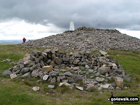
 The summit of The Cheviot in Northumberland
Photo: Julian Whitley
Is there a Mountain, Peak, Top or Hill missing from the above google map or list?
Let us know an we will add it to our database.

