All The Mountains, Peaks, Tops and Hills in Scottish Region : as a detailed list
Loch Lomond and The Trossachs National Park is located in Central Scotland, covering parts of Argyll and Bute, Perth and Kinross, Stirlingshire and West Dumbartonshire.
If you include all the Munros, the Corbetts, the Grahams, the Donalds, the Murdos, the Marilyns, the Bridgets (Hills) and all the Mountains, Tops, Peaks and Hills with a Trig Point on them there are 74 tops to climb, bag & conquer and the highest point is Ben More (The Crianlarich Hills) at 1,174m (3,853ft).
To see all Mountains, Peaks, Tops and Hills displayed in different ways - see the options in the left-hand column and towards the bottom of this page.
![]() Your Personal Bagging Record for Loch Lomond and The Trossachs
Your Personal Bagging Record for Loch Lomond and The Trossachs
LOG ON and RELOAD this page to show which Mountains, Peaks, Tops and Hills you have already climbed, bagged & conquered [. . . more]
See this list in: Alphabetical Order‡
| Height Order
To reverse the order select the link again.
Mountain, Peak, Top or Hill:
Bagged

![]()
1. An Caisteal (Glen Falloch)
995m (3,266ft)
An Caisteal (Glen Falloch) is on interactive maps:
A go4awalk.com Peak Bagging Map and Hill Tick List featuring An Caisteal (Glen Falloch) will be available soon. |

![]()
2. Beinn a' Chleibh
916m (3,006ft)
Beinn a' Chleibh is on interactive maps:
A go4awalk.com Peak Bagging Map and Hill Tick List featuring Beinn a' Chleibh will be available soon. |

![]()
3. Beinn a' Choin
769m (2,522ft)
Beinn a' Choin is on interactive maps:
A go4awalk.com Peak Bagging Map and Hill Tick List featuring Beinn a' Choin will be available soon. |
![]()
4. Beinn a' Chroin
942m (3,092ft)
Beinn a' Chroin is on interactive maps:
A go4awalk.com Peak Bagging Map and Hill Tick List featuring Beinn a' Chroin will be available soon. |

![]()
5. Beinn a' Chroin (East Top)
940m (3,085ft)
Beinn a' Chroin (East Top) is on interactive maps:
A go4awalk.com Peak Bagging Map and Hill Tick List featuring Beinn a' Chroin (East Top) will be available soon. |

![]()
6. Beinn a' Mhanaich
709m (2,327ft)
Beinn a' Mhanaich is on interactive maps:
A go4awalk.com Peak Bagging Map and Hill Tick List featuring Beinn a' Mhanaich will be available soon. |

![]()
7. Beinn an t-Sidhein
572m (1,877ft)
Beinn an t-Sidhein is on interactive maps:
A go4awalk.com Peak Bagging Map and Hill Tick List featuring Beinn an t-Sidhein will be available soon. |

![]()
8. Beinn Bhreac (Invergroin)
681m (2,233ft)
Beinn Bhreac (Invergroin) is on interactive maps:
A go4awalk.com Peak Bagging Map and Hill Tick List featuring Beinn Bhreac (Invergroin) will be available soon. |
![]()
9. Beinn Chabhair
932m (3,058ft)
Beinn Chabhair is on interactive maps:
A go4awalk.com Peak Bagging Map and Hill Tick List featuring Beinn Chabhair will be available soon. |
![]()
10. Beinn Challuim
1,025m (3,364ft)
Beinn Challuim is on interactive maps:
A go4awalk.com Peak Bagging Map and Hill Tick List featuring Beinn Challuim will be available soon. |
![]()
11. Beinn Challuim (South Top)
998m (3,275ft)
Beinn Challuim (South Top) is on interactive maps:
A go4awalk.com Peak Bagging Map and Hill Tick List featuring Beinn Challuim (South Top) will be available soon. |
![]()
12. Beinn Chaorach (Glen Luss)
713m (2,340ft)
Beinn Chaorach (Glen Luss) is on interactive maps:
A go4awalk.com Peak Bagging Map and Hill Tick List featuring Beinn Chaorach (Glen Luss) will be available soon. |

![]()
13. Beinn Chaorach (Strath Fillan)
818m (2,684ft)
Beinn Chaorach (Strath Fillan) is on interactive maps:
A go4awalk.com Peak Bagging Map and Hill Tick List featuring Beinn Chaorach (Strath Fillan) will be available soon. |

![]()
14. Beinn Cheathaich
937m (3,075ft)
Beinn Cheathaich is on interactive maps:
A go4awalk.com Peak Bagging Map and Hill Tick List featuring Beinn Cheathaich will be available soon. |
![]()
15. Beinn Chuirn
880m (2,888ft)
Beinn Chuirn is on interactive maps:
A go4awalk.com Peak Bagging Map and Hill Tick List featuring Beinn Chuirn will be available soon. |
![]()
16. Beinn Damhain
684m (2,245ft)
Beinn Damhain is on interactive maps:
A go4awalk.com Peak Bagging Map and Hill Tick List featuring Beinn Damhain will be available soon. |
![]()
17. Beinn Dearg (Loch Venachar)
427m (1,401ft)
Beinn Dearg (Loch Venachar) is on interactive maps:
A go4awalk.com Peak Bagging Map and Hill Tick List featuring Beinn Dearg (Loch Venachar) will be available soon. |
![]()
18. Beinn Dubh (Loch Chon)
508m (1,667ft)
Beinn Dubh (Loch Chon) is on interactive maps:
A go4awalk.com Peak Bagging Map and Hill Tick List featuring Beinn Dubh (Loch Chon) will be available soon. |
![]()
19. Beinn Dubhchraig
978m (3,209ft)
Beinn Dubhchraig is on interactive maps:
A go4awalk.com Peak Bagging Map and Hill Tick List featuring Beinn Dubhchraig will be available soon. |
![]()
20. Beinn Each
813m (2,668ft)
Beinn Each is on interactive maps:
A go4awalk.com Peak Bagging Map and Hill Tick List featuring Beinn Each will be available soon. |
![]()
21. Beinn Eich
703m (2,307ft)
Beinn Eich is on interactive maps:
A go4awalk.com Peak Bagging Map and Hill Tick List featuring Beinn Eich will be available soon. |

![]()
22. Beinn Ime
1,011m (3,318ft)
Beinn Ime is on interactive maps:
A go4awalk.com Peak Bagging Map and Hill Tick List featuring Beinn Ime will be available soon. |
![]()
23. Beinn Luibhean
890m (2,821ft)
Beinn Luibhean is on interactive maps:
A go4awalk.com Peak Bagging Map and Hill Tick List featuring Beinn Luibhean will be available soon. |
![]()
24. Beinn nan Imirean
849m (2,786ft)
Beinn nan Imirean is on interactive maps:
A go4awalk.com Peak Bagging Map and Hill Tick List featuring Beinn nan Imirean will be available soon. |
![]()
25. Beinn Narnain
927m (3,041ft)
Beinn Narnain is on interactive maps:
A go4awalk.com Peak Bagging Map and Hill Tick List featuring Beinn Narnain will be available soon. |
![]()
26. Beinn Odhar (Tyndrum)
901m (2,958ft)
Beinn Odhar (Tyndrum) is on interactive maps:
A go4awalk.com Peak Bagging Map and Hill Tick List featuring Beinn Odhar (Tyndrum) will be available soon. |
![]()
27. Beinn Tulaichean
946m (3,105ft)
Beinn Tulaichean is on interactive maps:
A go4awalk.com Peak Bagging Map and Hill Tick List featuring Beinn Tulaichean will be available soon. |
![]()
28. Beinn Uamha
597m (1,959ft)
Beinn Uamha is on interactive maps:
A go4awalk.com Peak Bagging Map and Hill Tick List featuring Beinn Uamha will be available soon. |
![]()
29. Beinn Uird
597m (1,959ft)
Beinn Uird is on interactive maps:
A go4awalk.com Peak Bagging Map and Hill Tick List featuring Beinn Uird will be available soon. |

![]()
30. Ben A'an
454m (1,490ft)
Ben A'an is on interactive maps:
A go4awalk.com Peak Bagging Map and Hill Tick List featuring Ben A'an will be available soon. |
View all 74 Mountains, Peaks, Tops and Hills in Scottish Region : Loch Lomond and The Trossachs to Loch Tay:
- On an Interactive Google Map (loads faster)
- On an Interactive Google Map with a list of tops below it (makes it easier to locate a particular top)
- On a Detailed List in:
Alphabetical Order | Height Order - On one page with 'yet-to-be-bagged' listed 1st & then 'already-bagged' tops listed 2nd in:
Alphabetical Order | Height Order (must be logged on) - On one page with 'already-bagged' tops listed 1st & then 'yet-to-be-bagged' tops listed 2nd in:
Alphabetical Order | Height Order (must be logged on)
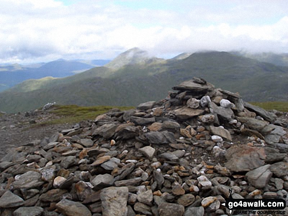
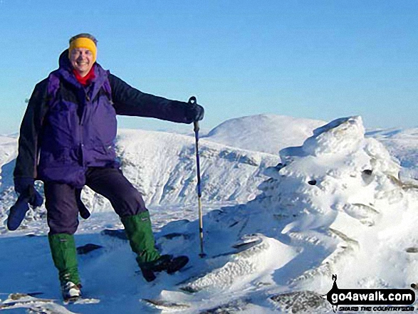
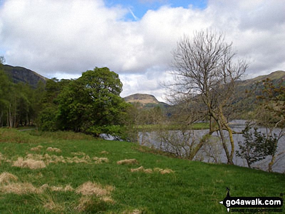
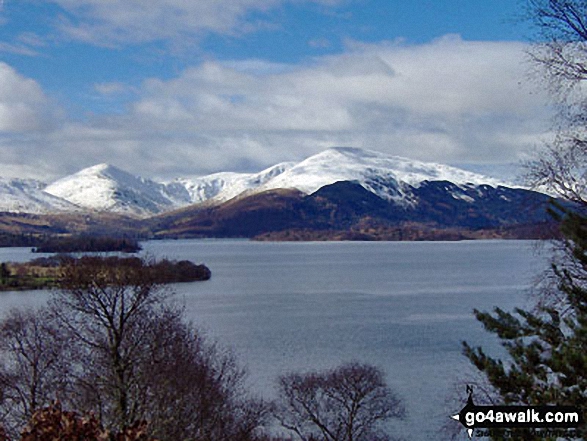
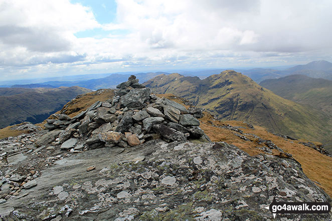
 Ben More (The Crianlarich Hills) the highest point in Loch Lomond and The Trossachs to Loch TayLoch Lomond and The Trossochs
Photo: Adam Shewry
Is there a Mountain, Peak, Top or Hill missing from the above google map or list?
Let us know an we will add it to our database.

To contribute to go4awalk.com or to contact us about anything at all - see Talk To Us.
For help see Help.
go4awalk.com and go4awalk.co.uk are registered trademarks of TMDH Limited.
Copyright © 2000-2024 TMDH Limited. All rights reserved.
Copyright | Terms & Conditions | Privacy Statement
A - Z
Walks
Home
Log On/Accounts
Photo Gallery
Walk Ideas and Collections
Fell Facts
Places to Stay
Hill Skills
Walking Questions and Answers
Your Stories
News
Competitions
Product Reviews/Gear Tests
Walking Gear Guides
Peaks and Mountains
Peak Bagging
Find New Walking Friends
Camping
GPS Waypoints for Walking
Walk Search
Talk to us
go4awalk.com Help
Free example walks
Newsletter


