All the Mountains, Peaks, Tops and Hills in The Far Eastern Fells area of The Lake District, Cumbria, England as a detailed list
The Far Eastern Fells area of The Lake District National Park, Cumbria is enclosed by:
- Ullswater to the North West
- The Kirkstone Pass and Ambleside to the West
- an imaginary line from Ambleside through Troutbeck, Kentmere and Sadgill to the Eastern tip of Haweswater Reservoir and then North to Pooley Bridge
If you count only the Wainwrights there are 36 tops to climb, bag & conquer and the highest point is High Street at 828m (2,717ft).
To see all Mountains, Peaks, Tops and Hills displayed in different ways - see the options in the left-hand column and towards the bottom of this page.
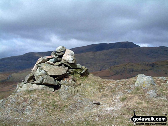
![]() Your Personal Bagging Record for The Far Eastern Fells area of The Lake District
Your Personal Bagging Record for The Far Eastern Fells area of The Lake District
LOG ON and RELOAD this page to show which Mountains, Peaks, Tops and Hills you have already climbed, bagged & conquered [. . . more]
See this list in: Alphabetical Order‡
| Height Order
To reverse the order select the link again.
Mountain, Peak, Top or Hill:
Bagged

![]()
1. Angletarn Pikes
567m (1,861ft)
Angletarn Pikes is on interactive maps:
Angletarn Pikes is on Peak Bagging Map and Hill Tick List: *Version including the walk routes marked on it that you need to follow to Walk all 214 Wainwrights in just 59 walks. |
![]()
2. Arthur's Pike
533m (1,749ft)
Arthur's Pike is on interactive maps:
Arthur's Pike is on Peak Bagging Map and Hill Tick List: *Version including the walk routes marked on it that you need to follow to Walk all 214 Wainwrights in just 59 walks. |
![]()
3. Baystones (Wansfell)
488m (1,601ft)
Baystones (Wansfell) is on interactive maps:
Baystones (Wansfell) is on Peak Bagging Map and Hill Tick List: *Version including the walk routes marked on it that you need to follow to Walk all 214 Wainwrights in just 59 walks. |
![]()
4. Beda Head (Beda Fell)
509m (1,671ft)
Beda Head (Beda Fell) is on interactive maps:
Beda Head (Beda Fell) is on Peak Bagging Map and Hill Tick List: *Version including the walk routes marked on it that you need to follow to Walk all 214 Wainwrights in just 59 walks. |
![]()
5. Bonscale Pike
524m (1,720ft)
Bonscale Pike is on interactive maps:
Bonscale Pike is on Peak Bagging Map and Hill Tick List: *Version including the walk routes marked on it that you need to follow to Walk all 214 Wainwrights in just 59 walks. |
![]()
6. Branstree (Artlecrag Pike)
713m (2,340ft)
Branstree (Artlecrag Pike) is on interactive maps:
Branstree (Artlecrag Pike) is on Peak Bagging Map and Hill Tick List: *Version including the walk routes marked on it that you need to follow to Walk all 214 Wainwrights in just 59 walks. |
![]()
7. Brock Crags
561m (1,841ft)
Brock Crags is on interactive maps:
Brock Crags is on Peak Bagging Map and Hill Tick List: *Version including the walk routes marked on it that you need to follow to Walk all 214 Wainwrights in just 59 walks. |
![]()
8. Froswick
720m (2,363ft)
Froswick is on interactive maps:
Froswick is on Peak Bagging Map and Hill Tick List: *Version including the walk routes marked on it that you need to follow to Walk all 214 Wainwrights in just 59 walks. |
![]()
9. Gray Crag (Hayeswater)
699m (2,294ft)
Gray Crag (Hayeswater) is on interactive maps:
Gray Crag (Hayeswater) is on Peak Bagging Map and Hill Tick List: *Version including the walk routes marked on it that you need to follow to Walk all 214 Wainwrights in just 59 walks. |
![]()
10. Grey Crag (Sleddale)
638m (2,094ft)
Grey Crag (Sleddale) is on interactive maps:
Grey Crag (Sleddale) is on Peak Bagging Map and Hill Tick List: *Version including the walk routes marked on it that you need to follow to Walk all 214 Wainwrights in just 59 walks. |
![]()
11. Hallin Fell
388m (1,273ft)
Hallin Fell is on interactive maps:
Hallin Fell is on Peak Bagging Map and Hill Tick List: *Version including the walk routes marked on it that you need to follow to Walk all 214 Wainwrights in just 59 walks. |
![]()
12. Harter Fell (Mardale)
779m (2,556ft)
Harter Fell (Mardale) is on interactive maps:
Harter Fell (Mardale) is on Peak Bagging Map and Hill Tick List: *Version including the walk routes marked on it that you need to follow to Walk all 214 Wainwrights in just 59 walks. |
![]()
13. Hartsop Dodd
619m (2,031ft)
Hartsop Dodd is on interactive maps:
Hartsop Dodd is on Peak Bagging Map and Hill Tick List: *Version including the walk routes marked on it that you need to follow to Walk all 214 Wainwrights in just 59 walks. |
![]()
14. High Raise (Mardale)
804m (2,636ft)
High Raise (Mardale) is on interactive maps:
High Raise (Mardale) is on Peak Bagging Map and Hill Tick List: *Version including the walk routes marked on it that you need to follow to Walk all 214 Wainwrights in just 59 walks. |
![]()
15. High Street
828m (2,717ft)
High Street is on interactive maps:
High Street is on Peak Bagging Map and Hill Tick List: *Version including the walk routes marked on it that you need to follow to Walk all 214 Wainwrights in just 59 walks. |
![]()
16. Ill Bell
757m (2,484ft)
Ill Bell is on interactive maps:
Ill Bell is on Peak Bagging Map and Hill Tick List: *Version including the walk routes marked on it that you need to follow to Walk all 214 Wainwrights in just 59 walks. |
![]()
17. Kentmere Pike
730m (2,396ft)
Kentmere Pike is on interactive maps:
Kentmere Pike is on Peak Bagging Map and Hill Tick List: *Version including the walk routes marked on it that you need to follow to Walk all 214 Wainwrights in just 59 walks. |
![]()
18. Kidsty Pike
780m (2,560ft)
Kidsty Pike is on interactive maps:
Kidsty Pike is on Peak Bagging Map and Hill Tick List: *Version including the walk routes marked on it that you need to follow to Walk all 214 Wainwrights in just 59 walks. |
![]()
19. Loadpot Hill
672m (2,205ft)
Loadpot Hill is on interactive maps:
Loadpot Hill is on Peak Bagging Map and Hill Tick List: *Version including the walk routes marked on it that you need to follow to Walk all 214 Wainwrights in just 59 walks. |
![]()
20. Mardale Ill Bell
760m (2,494ft)
Mardale Ill Bell is on interactive maps:
Mardale Ill Bell is on Peak Bagging Map and Hill Tick List: *Version including the walk routes marked on it that you need to follow to Walk all 214 Wainwrights in just 59 walks. |
![]()
21. Place Fell
657m (2,156ft)
Place Fell is on interactive maps:
Place Fell is on Peak Bagging Map and Hill Tick List: *Version including the walk routes marked on it that you need to follow to Walk all 214 Wainwrights in just 59 walks. |
![]()
22. Rampsgill Head
792m (2,600ft)
Rampsgill Head is on interactive maps:
Rampsgill Head is on Peak Bagging Map and Hill Tick List: *Version including the walk routes marked on it that you need to follow to Walk all 214 Wainwrights in just 59 walks. |
![]()
23. Rest Dodd
696m (2,284ft)
Rest Dodd is on interactive maps:
Rest Dodd is on Peak Bagging Map and Hill Tick List: *Version including the walk routes marked on it that you need to follow to Walk all 214 Wainwrights in just 59 walks. |
![]()
24. Sallows
516m (1,694ft)
Sallows is on interactive maps:
Sallows is on Peak Bagging Map and Hill Tick List: *Version including the walk routes marked on it that you need to follow to Walk all 214 Wainwrights in just 59 walks. |
![]()
25. Selside Pike
655m (2,150ft)
Selside Pike is on interactive maps:
Selside Pike is on Peak Bagging Map and Hill Tick List: *Version including the walk routes marked on it that you need to follow to Walk all 214 Wainwrights in just 59 walks. |
![]()
26. Shipman Knotts
587m (1,927ft)
Shipman Knotts is on interactive maps:
Shipman Knotts is on Peak Bagging Map and Hill Tick List: *Version including the walk routes marked on it that you need to follow to Walk all 214 Wainwrights in just 59 walks. |
![]()
27. Sour Howes
483m (1,585ft)
Sour Howes is on interactive maps:
Sour Howes is on Peak Bagging Map and Hill Tick List: *Version including the walk routes marked on it that you need to follow to Walk all 214 Wainwrights in just 59 walks. |
![]()
28. Steel Knotts (Pikeawassa)
432m (1,418ft)
Steel Knotts (Pikeawassa) is on interactive maps:
Steel Knotts (Pikeawassa) is on Peak Bagging Map and Hill Tick List: *Version including the walk routes marked on it that you need to follow to Walk all 214 Wainwrights in just 59 walks. |
![]()
29. Stony Cove Pike (Caudale Moor)
763m (2,504ft)
Stony Cove Pike (Caudale Moor) is on interactive maps:
Stony Cove Pike (Caudale Moor) is on Peak Bagging Map and Hill Tick List: *Version including the walk routes marked on it that you need to follow to Walk all 214 Wainwrights in just 59 walks. |
![]()
30. Tarn Crag (Sleddale)
664m (2,179ft)
Tarn Crag (Sleddale) is on interactive maps:
Tarn Crag (Sleddale) is on Peak Bagging Map and Hill Tick List: *Version including the walk routes marked on it that you need to follow to Walk all 214 Wainwrights in just 59 walks. |
![]()
31. The Knott
739m (2,425ft)
The Knott is on interactive maps:
The Knott is on Peak Bagging Map and Hill Tick List: *Version including the walk routes marked on it that you need to follow to Walk all 214 Wainwrights in just 59 walks. |
![]()
32. The Nab (Martindale)
576m (1,890ft)
The Nab (Martindale) is on interactive maps:
The Nab (Martindale) is on Peak Bagging Map and Hill Tick List: *Version including the walk routes marked on it that you need to follow to Walk all 214 Wainwrights in just 59 walks. |
![]()
33. Thornthwaite Crag
784m (2,573ft)
Thornthwaite Crag is on interactive maps:
Thornthwaite Crag is on Peak Bagging Map and Hill Tick List: *Version including the walk routes marked on it that you need to follow to Walk all 214 Wainwrights in just 59 walks. |
![]()
34. Troutbeck Tongue
364m (1,195ft)
Troutbeck Tongue is on interactive maps:
Troutbeck Tongue is on Peak Bagging Map and Hill Tick List: *Version including the walk routes marked on it that you need to follow to Walk all 214 Wainwrights in just 59 walks. |
![]()
35. Wether Hill
670m (2,199ft)
Wether Hill is on interactive maps:
Wether Hill is on Peak Bagging Map and Hill Tick List: *Version including the walk routes marked on it that you need to follow to Walk all 214 Wainwrights in just 59 walks. |
![]()
36. Yoke
706m (2,317ft)
Yoke is on interactive maps:
Yoke is on Peak Bagging Map and Hill Tick List: *Version including the walk routes marked on it that you need to follow to Walk all 214 Wainwrights in just 59 walks. |
View all 53 Mountains, Peaks, Tops and Hills in The Far Eastern Fells area of The Lake District:
- On a Downloadable PDF you can Print or Save to your Phone#
- On an Interactive Google Map (loads faster)
- On an Interactive Google Map with a list of tops below it (makes it easier to locate a particular top)
- On a Detailed List in:
Alphabetical Order | Height Order - On one page with 'yet-to-be-bagged' listed 1st & then 'already-bagged' tops listed 2nd in:
Alphabetical Order | Height Order (must be logged on) - On one page with 'already-bagged' tops listed 1st & then 'yet-to-be-bagged' tops listed 2nd in:
Alphabetical Order | Height Order (must be logged on)
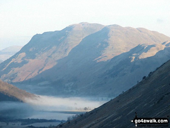
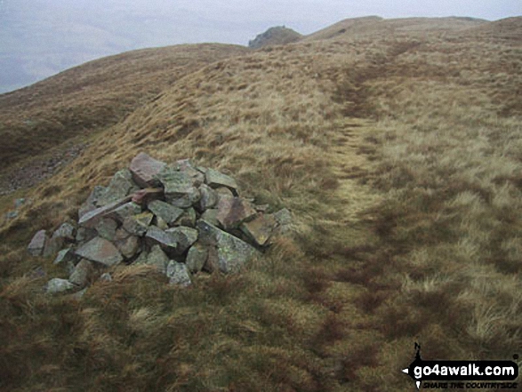
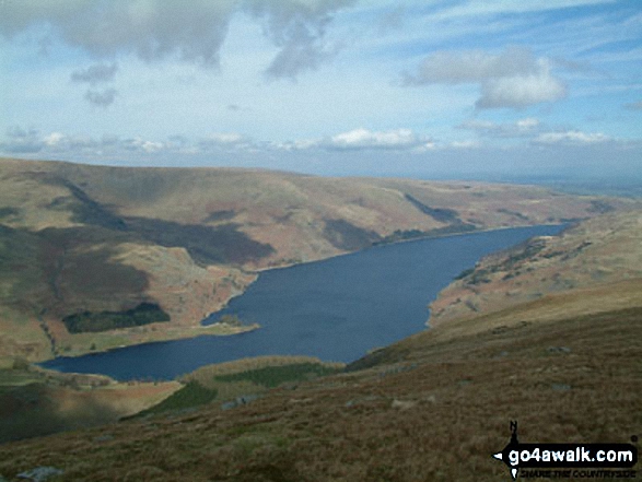
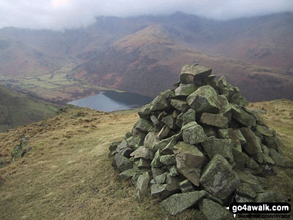
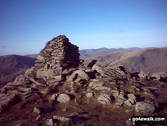
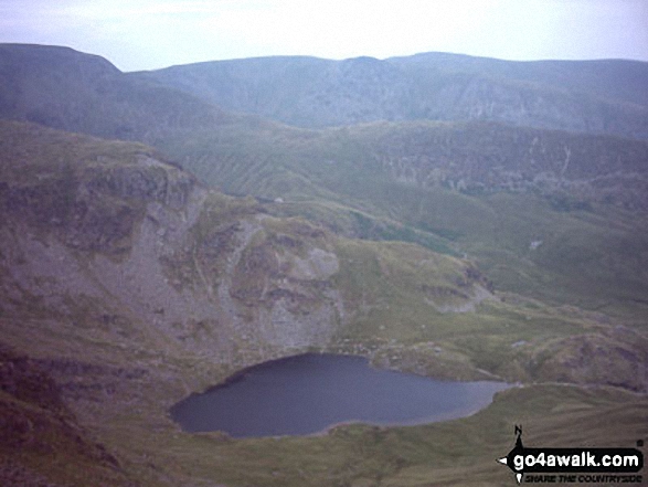
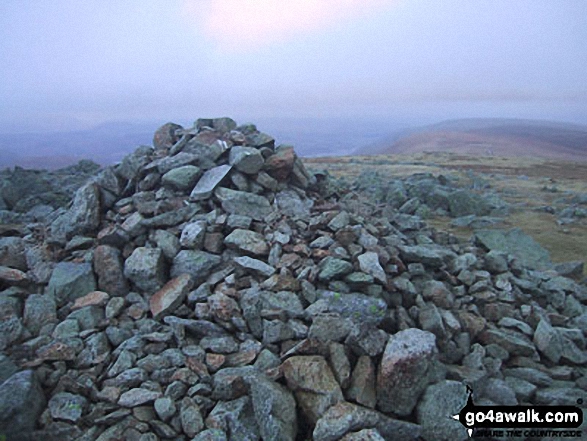
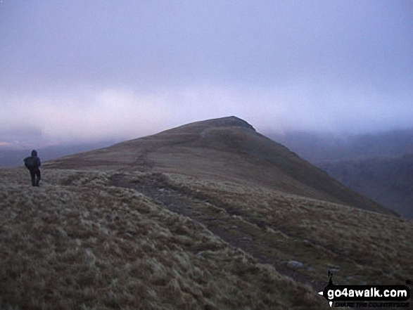
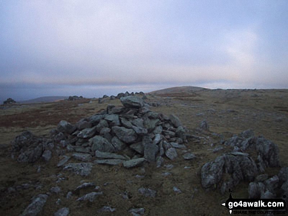
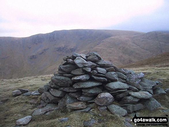
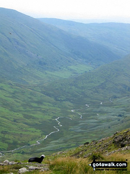
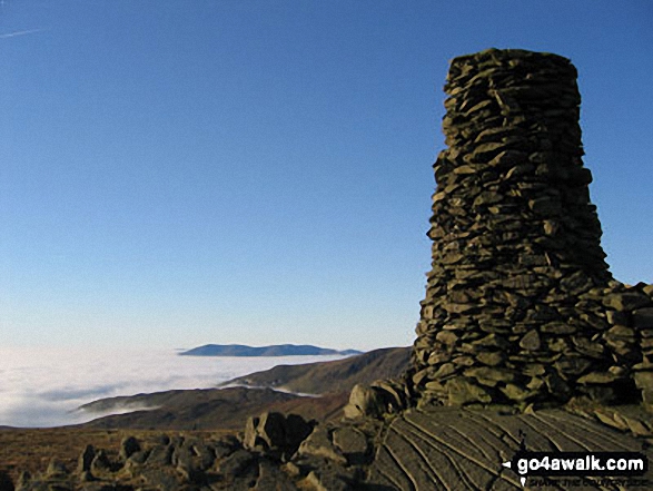
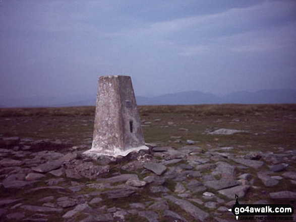 The summit of High Street, the highest point in The Far Eastern Fells area of The Lake District
Photo: William Ringwood
# Whether you print a copy or download it to your phone, this Peak Baggers' Map will prove incredibly useful if you want to know what's what when you are up in the mountains and cannot get a phone signal
Is there a Mountain, Peak, Top or Hill missing from the above google map or list?
Let us know an we will add it to our database.

To contribute to go4awalk.com or to contact us about anything at all - see Talk To Us.
For help see Help.
go4awalk.com and go4awalk.co.uk are registered trademarks of TMDH Limited.
Copyright © 2000-2024 TMDH Limited. All rights reserved.
Copyright | Terms & Conditions | Privacy Statement
A - Z
Walks
Home
Log On/Accounts
Photo Gallery
Walk Ideas and Collections
Fell Facts
Places to Stay
Hill Skills
Walking Questions and Answers
Your Stories
News
Competitions
Product Reviews/Gear Tests
Walking Gear Guides
Peaks and Mountains
Peak Bagging
Find New Walking Friends
Camping
GPS Waypoints for Walking
Walk Search
Talk to us
go4awalk.com Help
Free example walks
Newsletter


